
FEDERAL COURT OF AUSTRALIA
Blackman on behalf of the Bailai, Gurang, Gooreng Gooreng, Taribelang Bunda People v State of Queensland (No 3) [2017] FCA 1637
ORDERS
DATE OF ORDER: |
BEING SATISFIED that an order in the terms set out below is within the power of the Court, and it appearing appropriate to the Court to do so, pursuant to s 87 of the Native Title Act 1993 (Cth),
BY CONSENT THE COURT ORDERS THAT:
1. there be a determination of native title in the terms set out below ("the determination");
2. the determination will take effect upon the last of the agreements referred to in paragraphs (1)(a) and (1)(b) of Schedule 5 being registered on the Register of Indigenous Land Use Agreements;
3. in the event that both of the agreements referred to in paragraph (2) above are not registered on the Register of Indigenous Land Use Agreements within six months of the date of this order or such later time as this Court may order, the matter is to be listed for further directions; and
4. each party to the proceedings is to bear its own costs;
BY CONSENT THE COURT DETERMINES THAT:
5. the Determination Area is the land and waters described in Schedule 1 (subject to the exclusions described in Schedule 2) and depicted on the map in Schedule 3; and that to the extent of any inconsistency between the written descriptions in Schedules 1 and 2 and the mapping in Schedule 3, the written descriptions prevail;
6. native title exists in relation to the Determination Area described in Schedule 1;
7. the native title is held by the Bailai, Gurang, Gooreng Gooreng, Taribelang Bunda People described in Schedule 4 ("the native title holders");
8. subject to paragraphs (9), (10) and (11) the nature and extent of the native title rights and interests in relation to the land and waters described in Schedule 1 are the non-exclusive rights to:
(a) access, be present on, move about on and travel over the area;
(b) camp and for that purpose build temporary shelters;
(c) hunt, fish and gather on the land and waters of the area for personal, domestic and non-commercial communal purposes;
(d) take, use and share Natural Resources from the land and waters of the area for personal, domestic and non-commercial communal purposes;
(e) take and use the Water of the area for personal, domestic and non-commercial communal purposes;
(f) participate in cultural activities on the area;
(g) hold meetings on the area;
(h) maintain places of importance and areas of significance to the native title holders under their traditional laws and customs and to protect those places and areas from physical harm;
(i) teach on the area the physical and spiritual attributes of the area;
(j) light fires on the area for domestic purposes including cooking, but not for the purposes of hunting or clearing vegetation;
(k) be buried and bury native title holders within the area;
(l) be accompanied onto the area by those persons who, though not native title holders, are:
(i) spouses or partners of native title holders;
(ii) people who are members of the immediate family of a spouse or partner of a native title holder; or
(iii) people reasonably required by the native title holders under traditional law and custom for the performance of cultural activities on the area;
9. the native title rights and interests referred to in paragraph (8) are subject to and exercisable in accordance with:
(a) the Laws of the State and the Commonwealth; and
(b) the traditional laws acknowledged, and the traditional customs observed by the native title holders;
10. the native title rights and interests referred to in paragraph (8) do not confer possession, occupation, use or enjoyment to the exclusion of all others;
11. there are no native title rights in or in relation to minerals as defined by the Mineral Resources Act 1989 (Qld) and petroleum as defined by the Petroleum Act 1923 (Qld) and the Petroleum and Gas (Production and Safety) Act 2004 (Qld);
12. the nature and extent of any other interests in relation to the Determination Area (or respective parts thereof) are set out in Schedule 5;
13. the relationship between the native title rights and interests described in paragraph (8) and the other interests described in Schedule 5 (the "Other Interests") is that:
(a) the Other Interests continue to have effect, and the rights conferred by or held under the Other Interests may be exercised notwithstanding the existence of the native title rights and interests;
(b) to the extent the Other Interests are inconsistent with the continued existence, enjoyment or exercise of the native title rights and interests in relation to the land and waters of the Determination Area, the native title continues to exist in its entirety but the native title rights and interests have no effect in relation to the Other Interests to the extent of the inconsistency for so long as the Other Interests exist;
(c) the Other Interests and any activity that is required or permitted by or under, and done in accordance with, the Other Interests, or any activity that is associated with or incidental to such an activity, prevail over the native title rights and interests and any exercise of the native title rights and interests;
(d) set out in Schedule 6 in relation to Certain Pastoral Leases wholly or partly within the Determination Area, without limiting the operation of paragraphs (13)(a) to (13)(c) above; and
(e) without limiting the operation of paragraphs (13)(a) to (13)(c) above, before the native title rights and interests (referred to in paragraph (8) above) are exercised on State Forest land on which a term lease for grazing purposes has been granted and which existed as at the date of the determination, the native title holders must contact the lessee of the grazing lease, provided their contact details have been provided to the First Nations Bailai, Gurang, Gooreng Gooreng, Taribelang Bunda Aboriginal Corporation ICN 8650, discuss any safety issues associated with the proposed exercise of native title rights and interests, and make reasonable efforts to agree upon a route of access;
DEFINITIONS AND INTERPRETATION
14. in this determination, unless the contrary intention appears:
"land" and "waters", respectively, have the same meanings as in the Native Title Act 1993 (Cth);
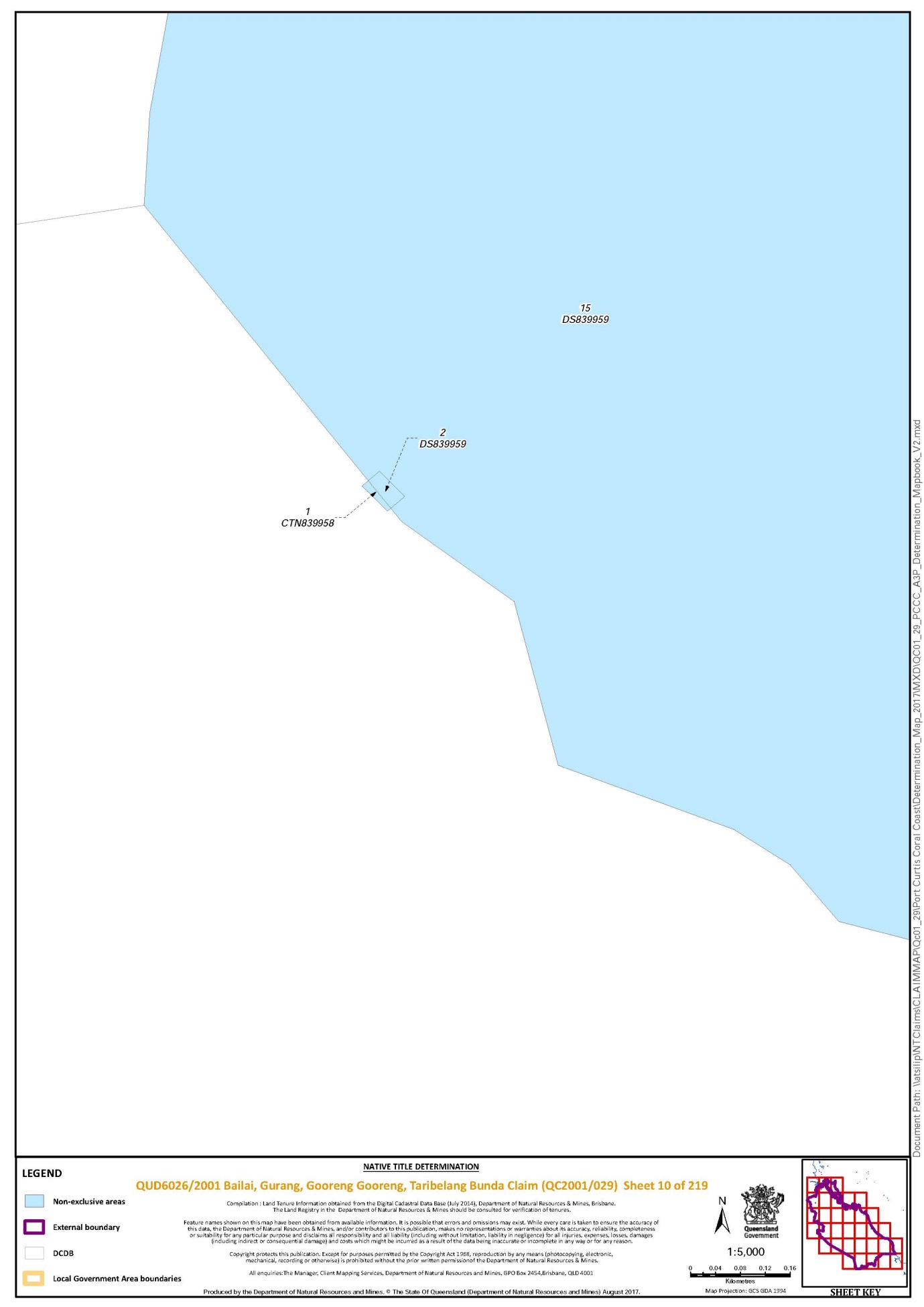
"Certain Pastoral Leases" means Lot 9 on RN1607 known as Barmundoo, Lot 82 on CTN355 known as Dawes, Lot 4134 on PH1510 known as Glassford and Lot 15 on DS839959 known as Mt Alma;
"External Boundary" means the area described under the heading "External Boundary" in Schedule 1;
"High Water Mark" has the meaning given in the Land Act 1994 (Qld);
"Laws of the State and the Commonwealth" means the common law and the laws of the State of Queensland and the Commonwealth of Australia, and includes legislation, regulations, statutory instruments, local planning instruments and local laws;
"Natural Resources" means:
(a) any animal, plant, fish and bird life found on or in the lands and waters of the Determination Area; and
(b) any clays, soil, sand, gravel or rock found on or below the surface of the Determination Area,
that have traditionally been taken and used by the native title holders, but does not include:
(a) animals that are the private personal property of another;
(b) crops that are the private personal property of another; and
(c) minerals as defined in the Mineral Resources Act 1989 (Qld) or petroleum as defined in the Petroleum Act 1923 (Qld) and the Petroleum and Gas (Production and Safety) Act 2004 (Qld);
"Reserves" means reserves that are dedicated, or taken to be reserves, under the Land Act 1994 (Qld);
"Water" means:
(a) water which flows, whether permanently or intermittently, within a river, creek or stream;
(b) any natural collection of water, whether permanent or intermittent;
(c) water from an underground water source; and
(d) tidal water;
"Watercourses" has the meaning given in the Survey and Mapping Infrastructure Act 2003 (Qld);
"Works" has the same meaning as in the Electricity Act 1994 (Qld); and
other words and expressions used in this determination have the same meanings as they have in Part 15 of the Native Title Act 1993 (Cth);
THE COURT DETERMINES THAT:
15. upon the determination taking effect:
(a) the native title is to be held in trust;
(b) the First Nations Bailai, Gurang, Gooreng Gooreng, Taribelang Bunda Aboriginal Corporation (ICN: 8650), incorporated under the Corporations (Aboriginal and Torres Strait Islander) Act 2006 (Cth), is to:
(i) be the prescribed body corporate for the purpose of ss 56(2)(b) and 56(3) of the Native Title Act 1993 (Cth); and
(ii) perform the functions mentioned in s 57(1) of the Native Title Act 1993 (Cth) after becoming a registered native title body corporate.
Note: Entry of orders is dealt with in Rule 39.32 of the Federal Court Rules 2011.
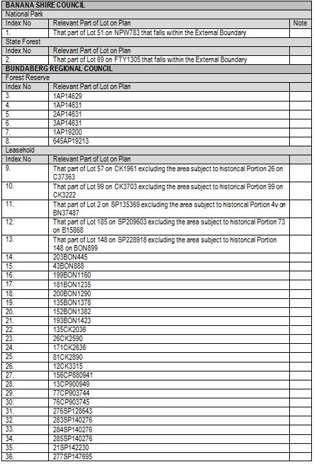
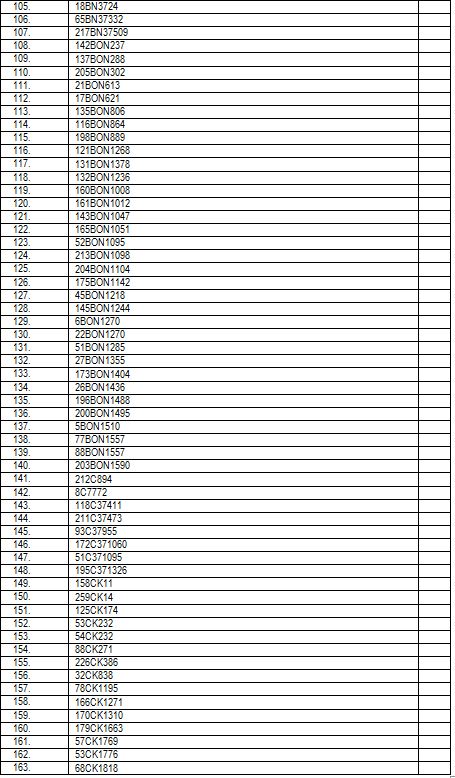
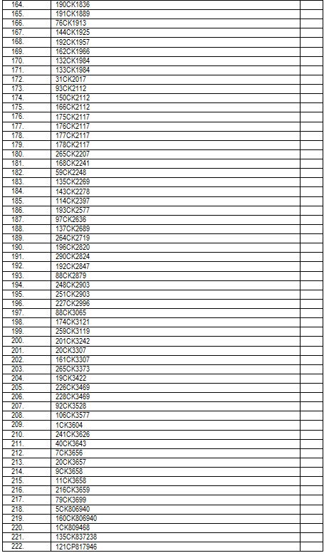
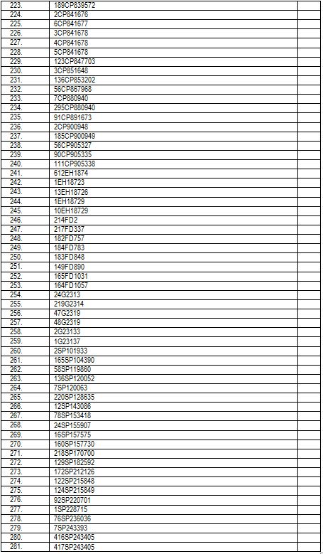
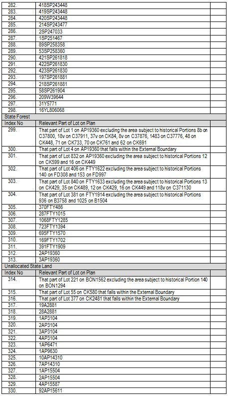
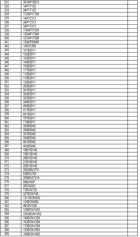
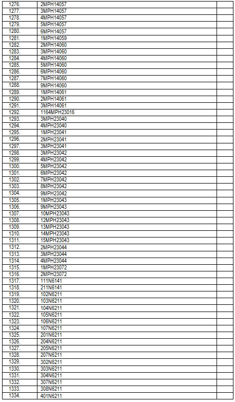
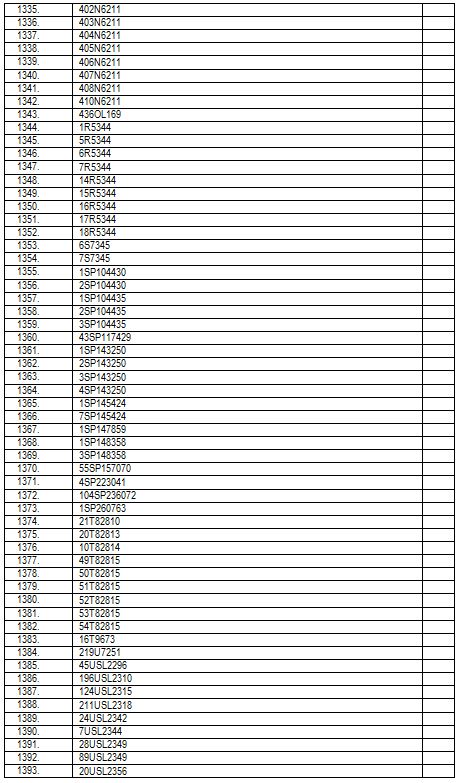
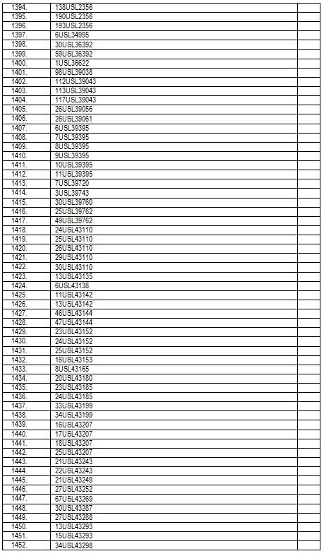
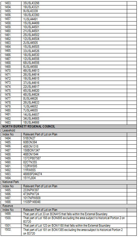
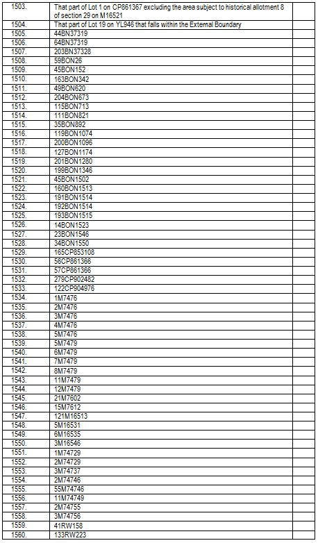
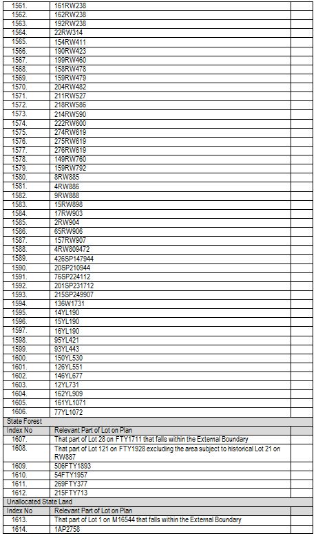
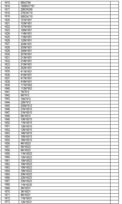
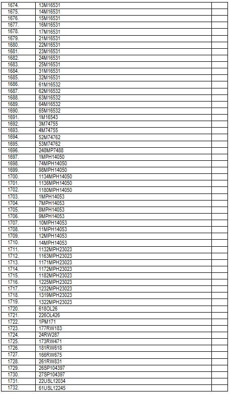
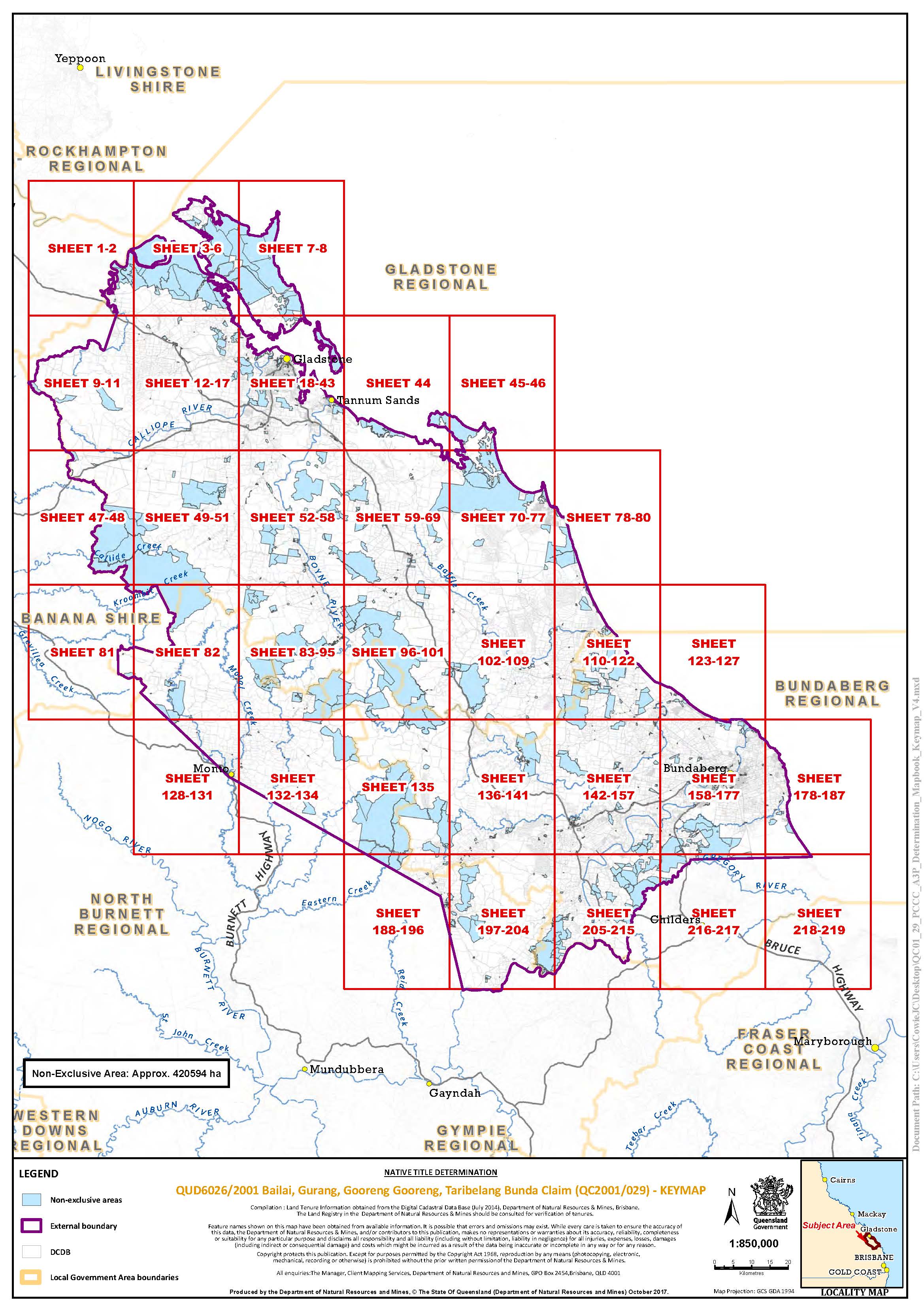
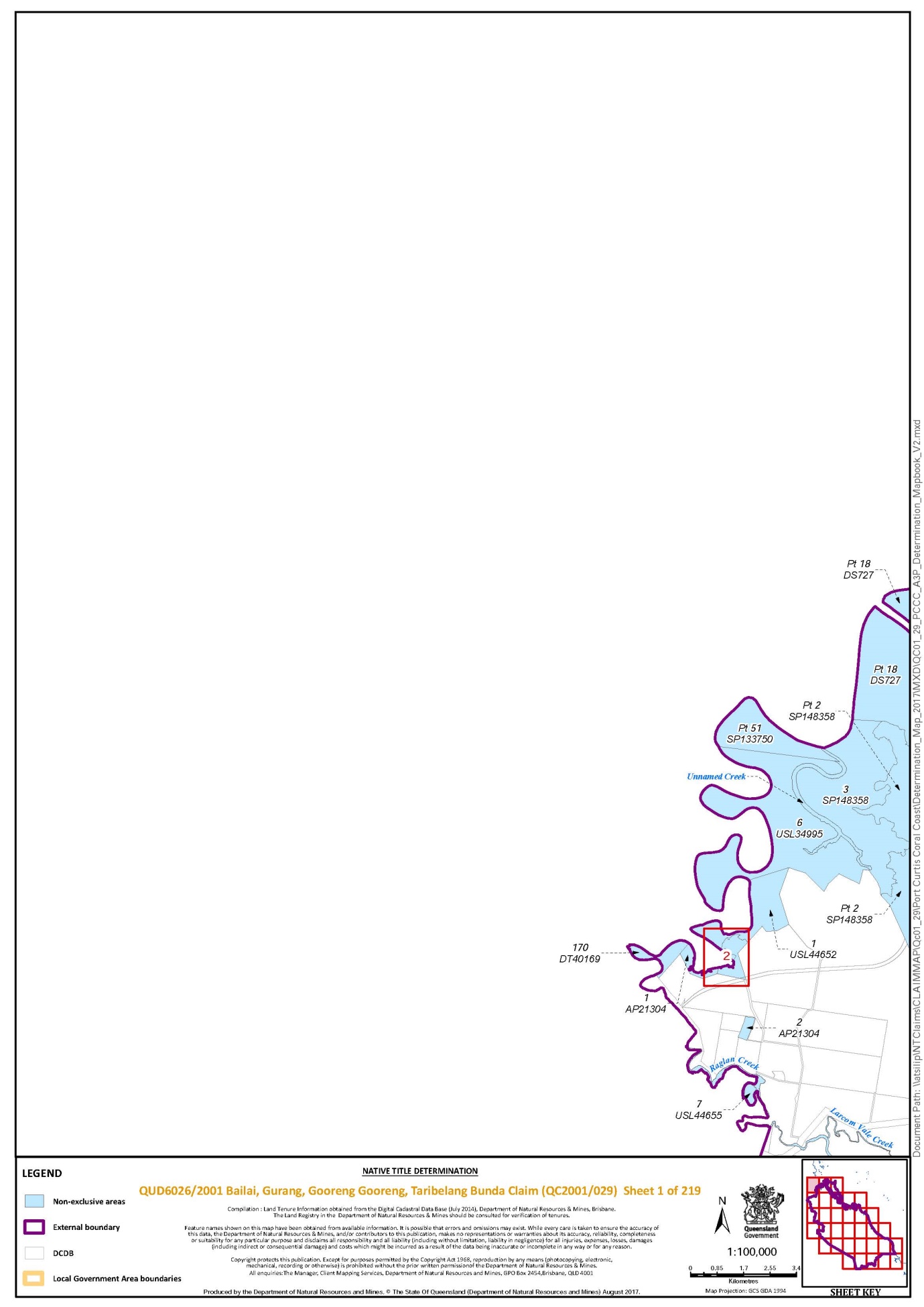
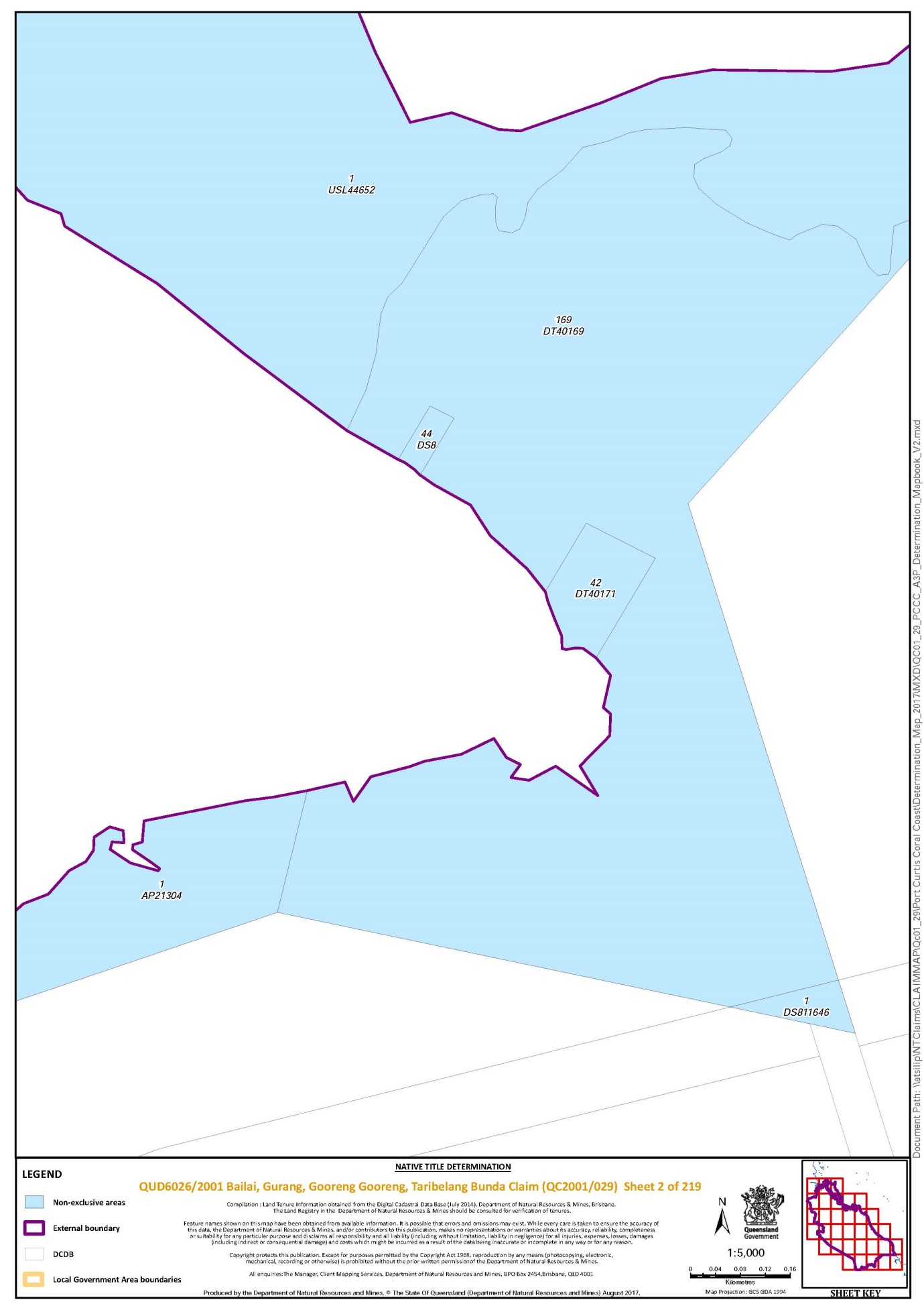
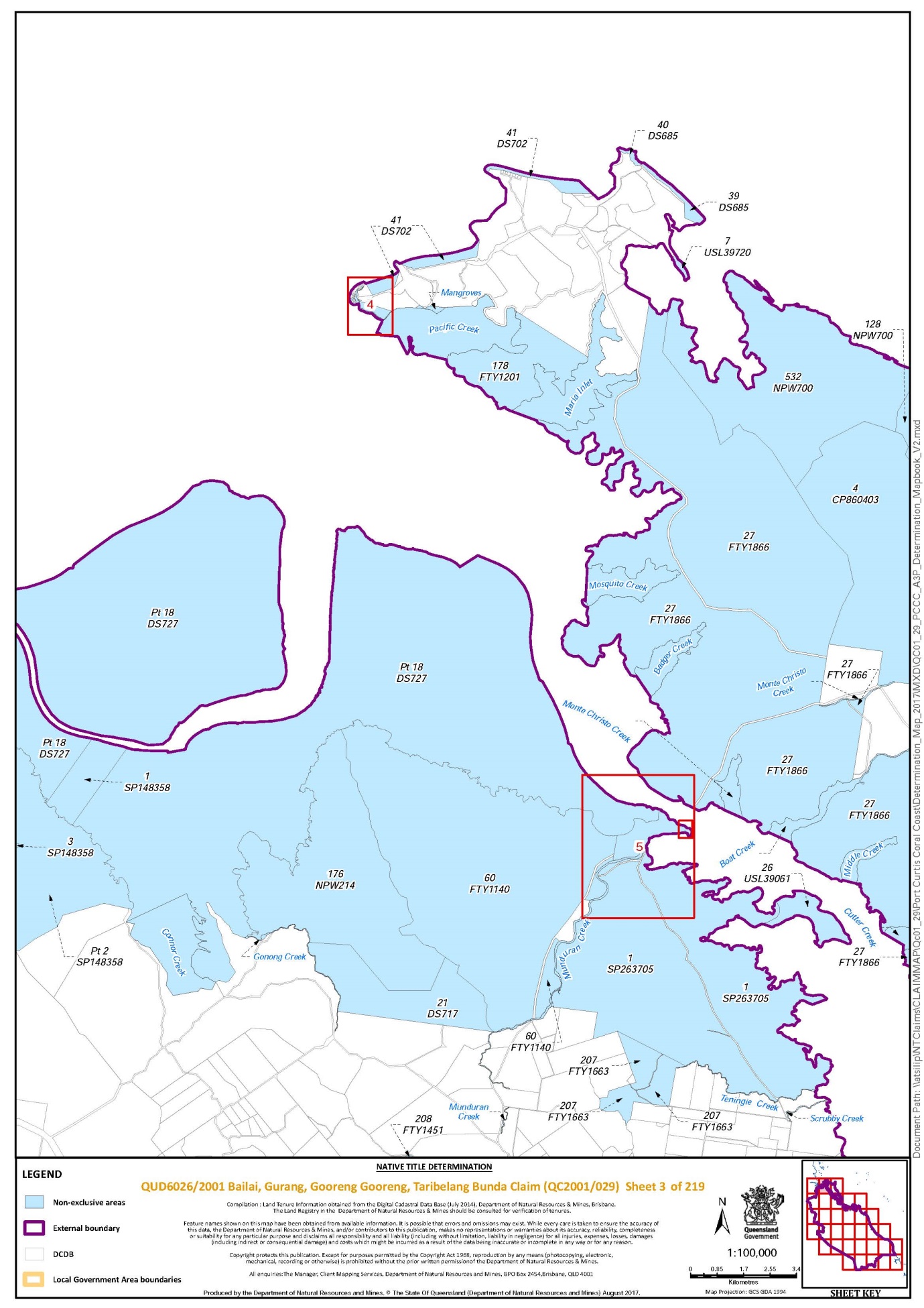
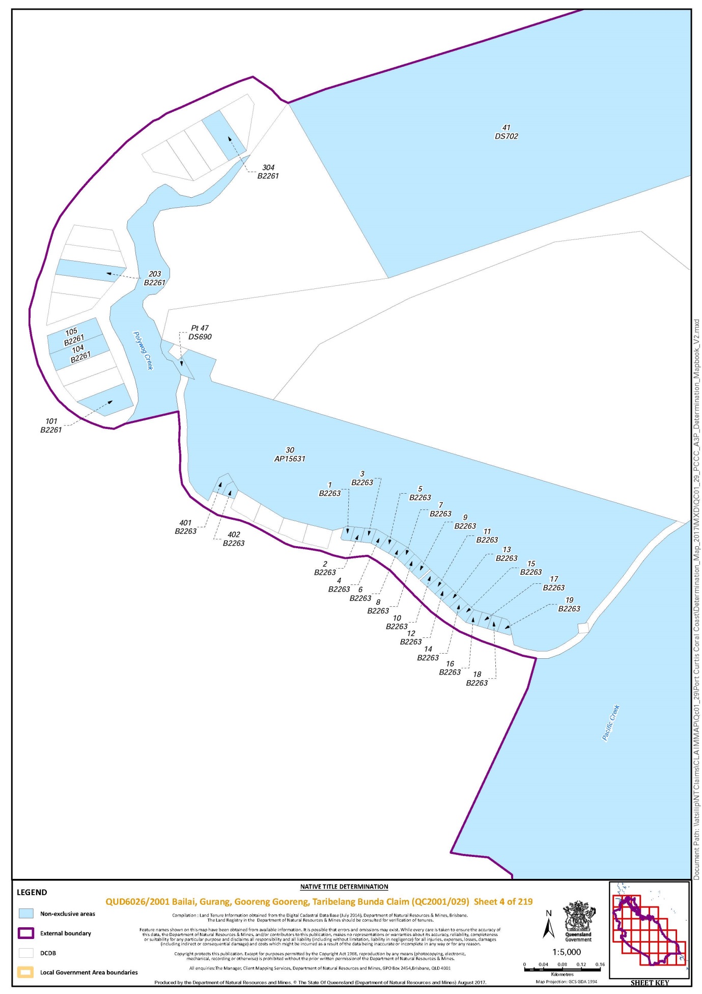
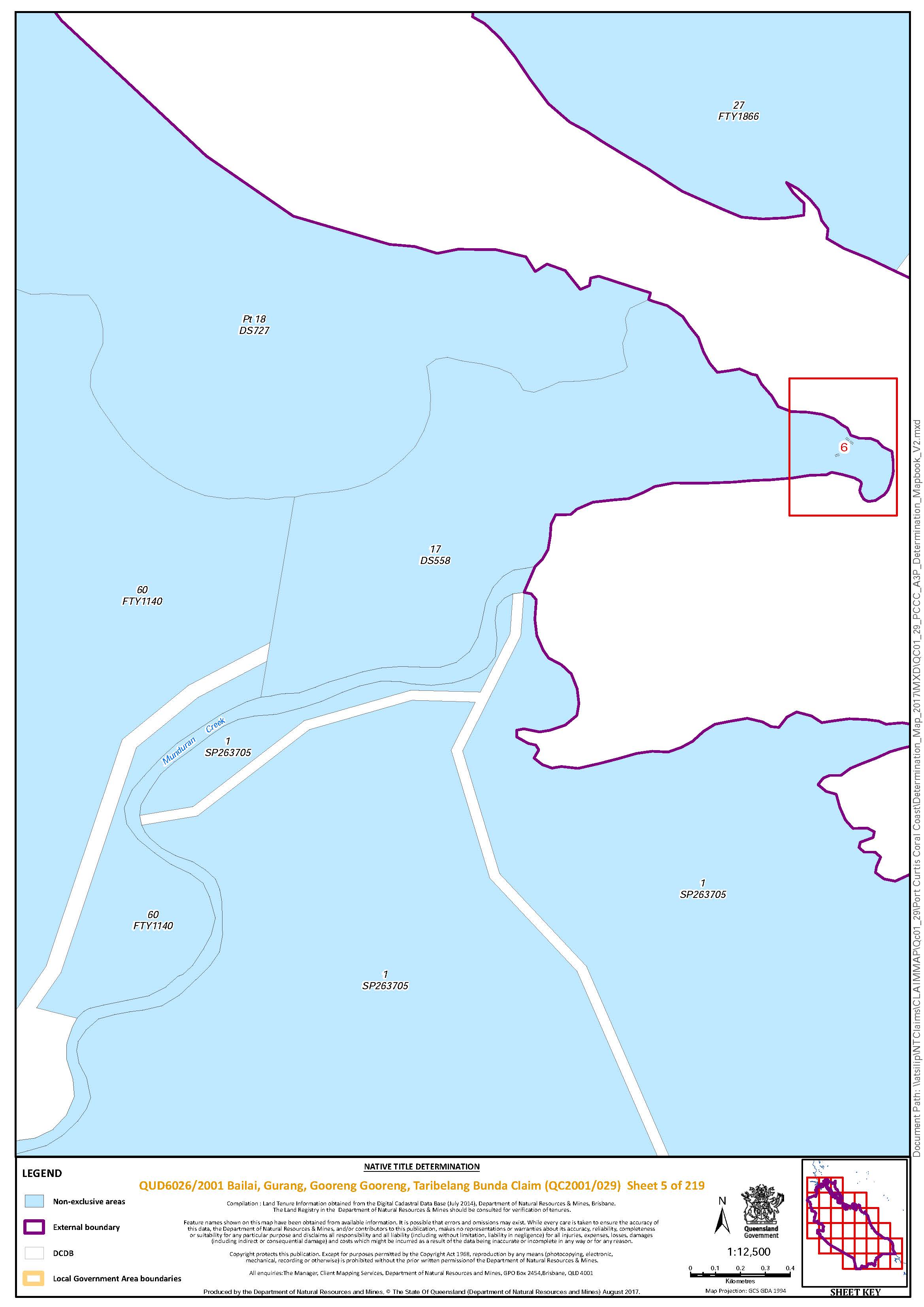
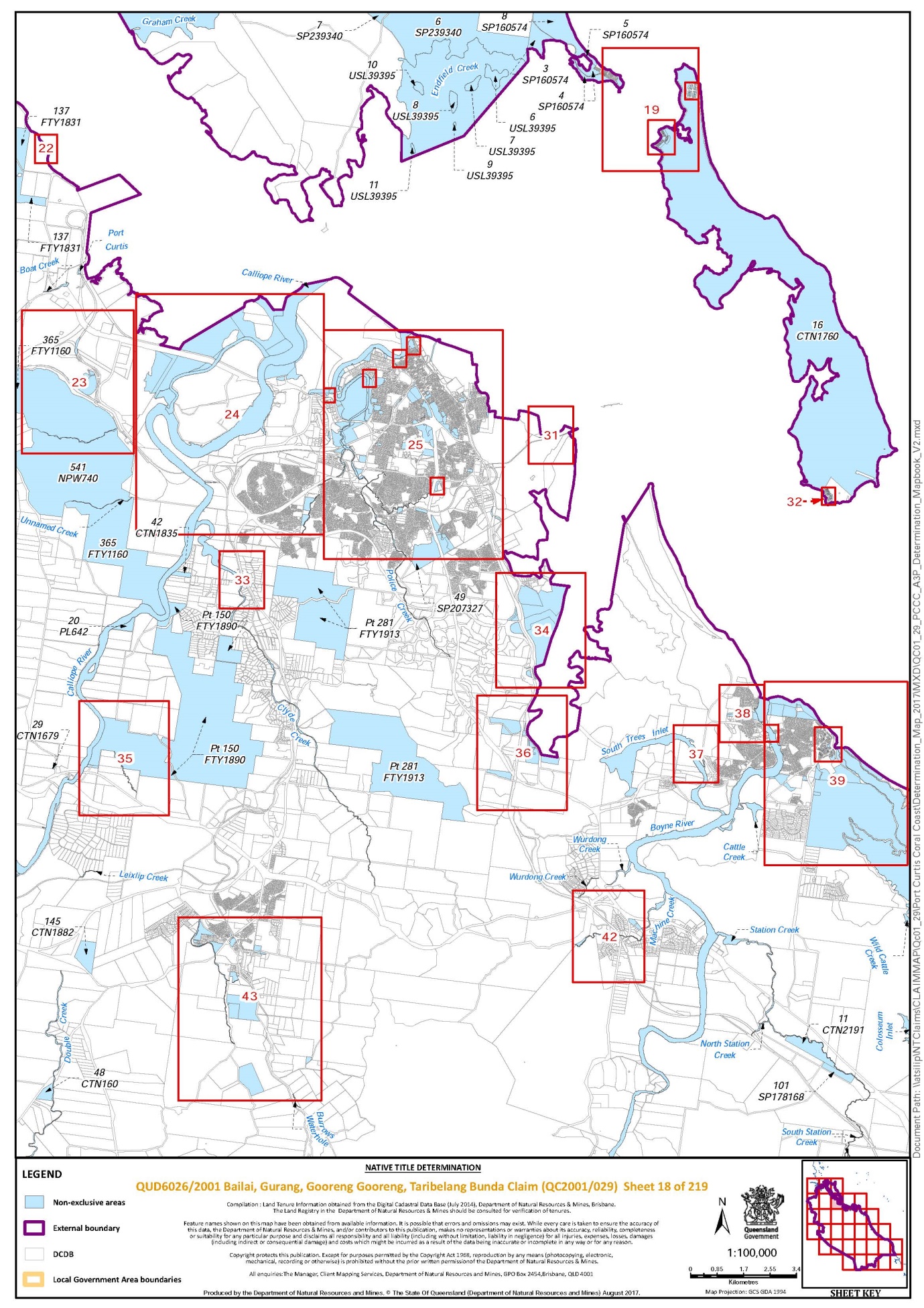
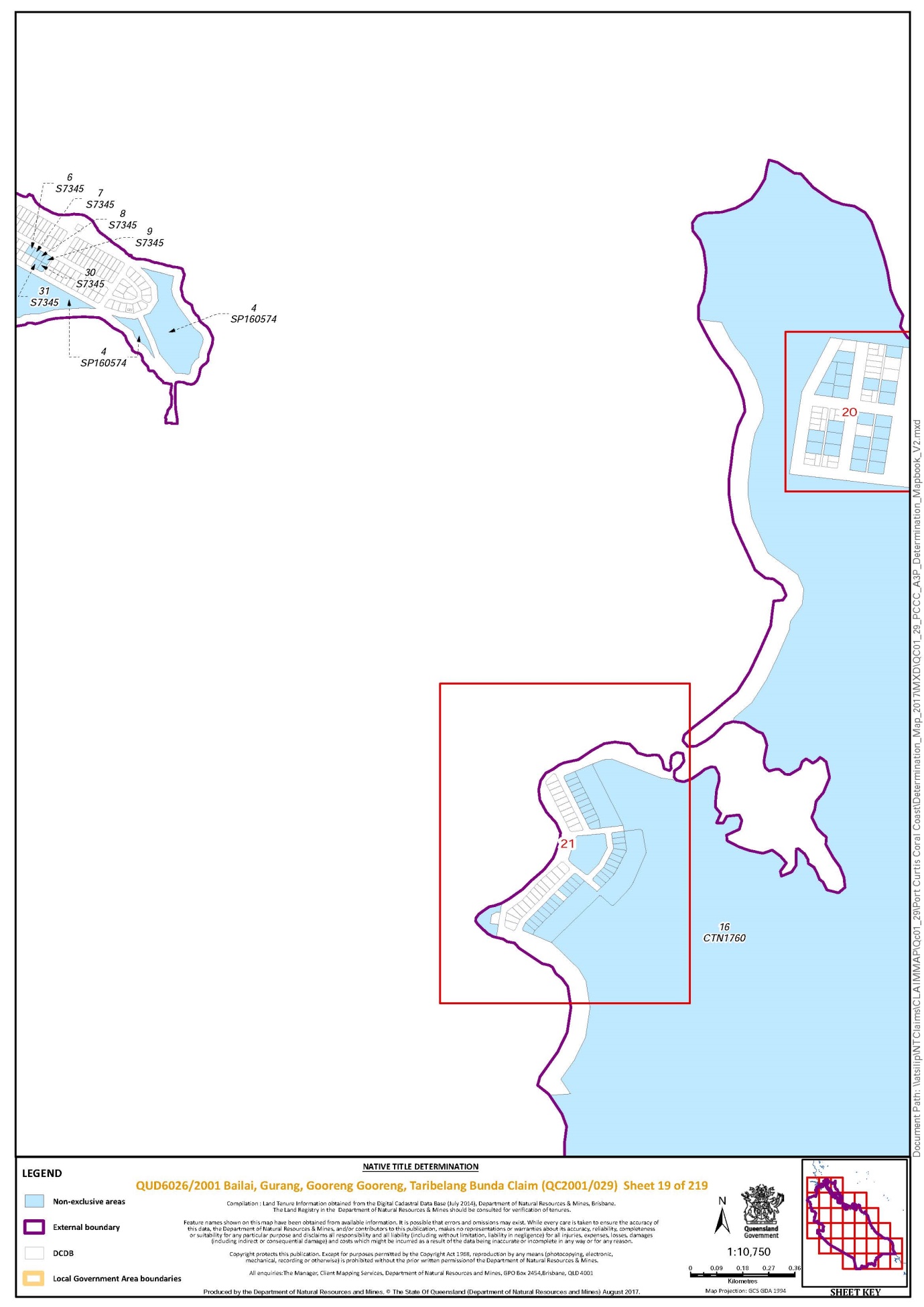
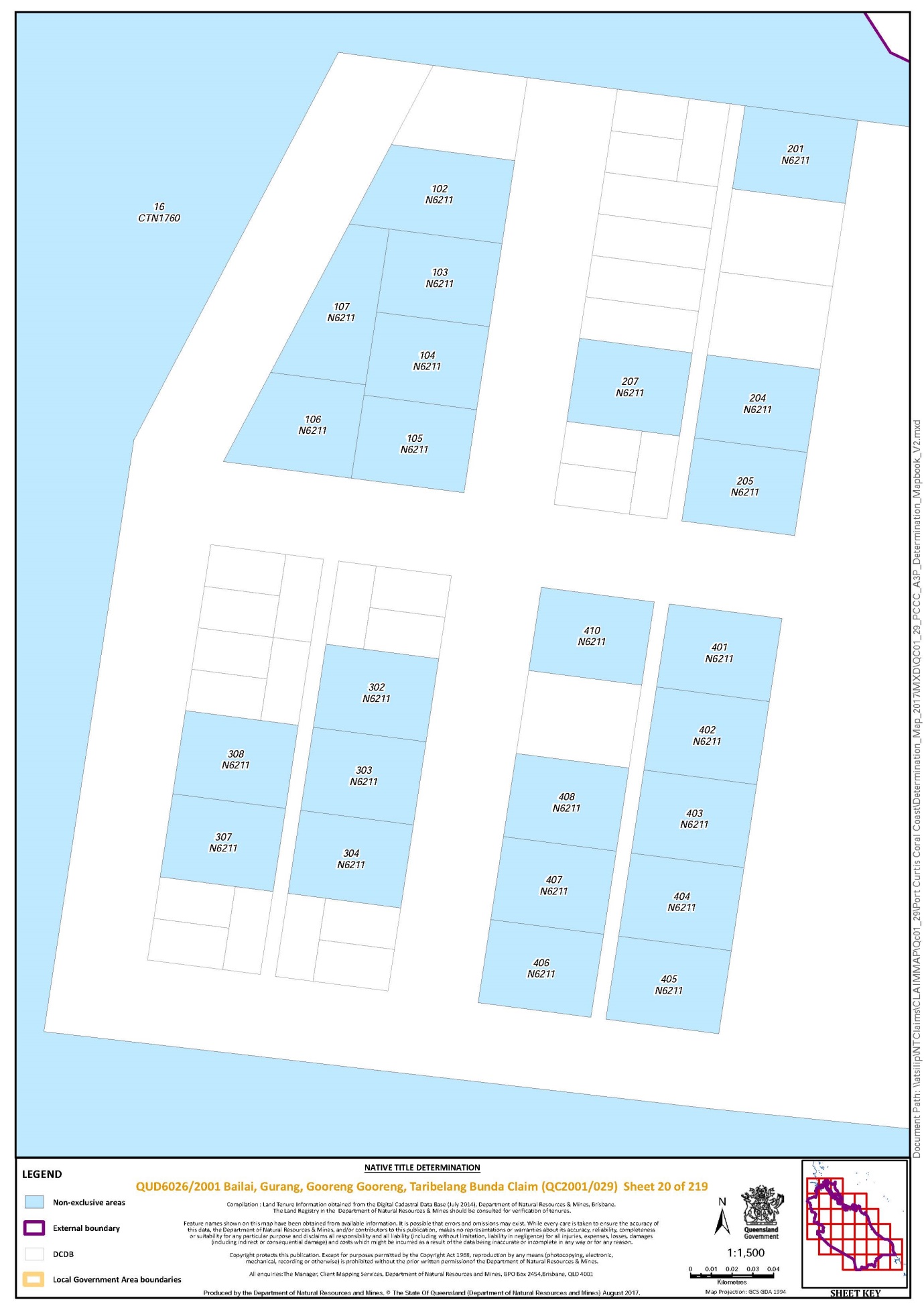
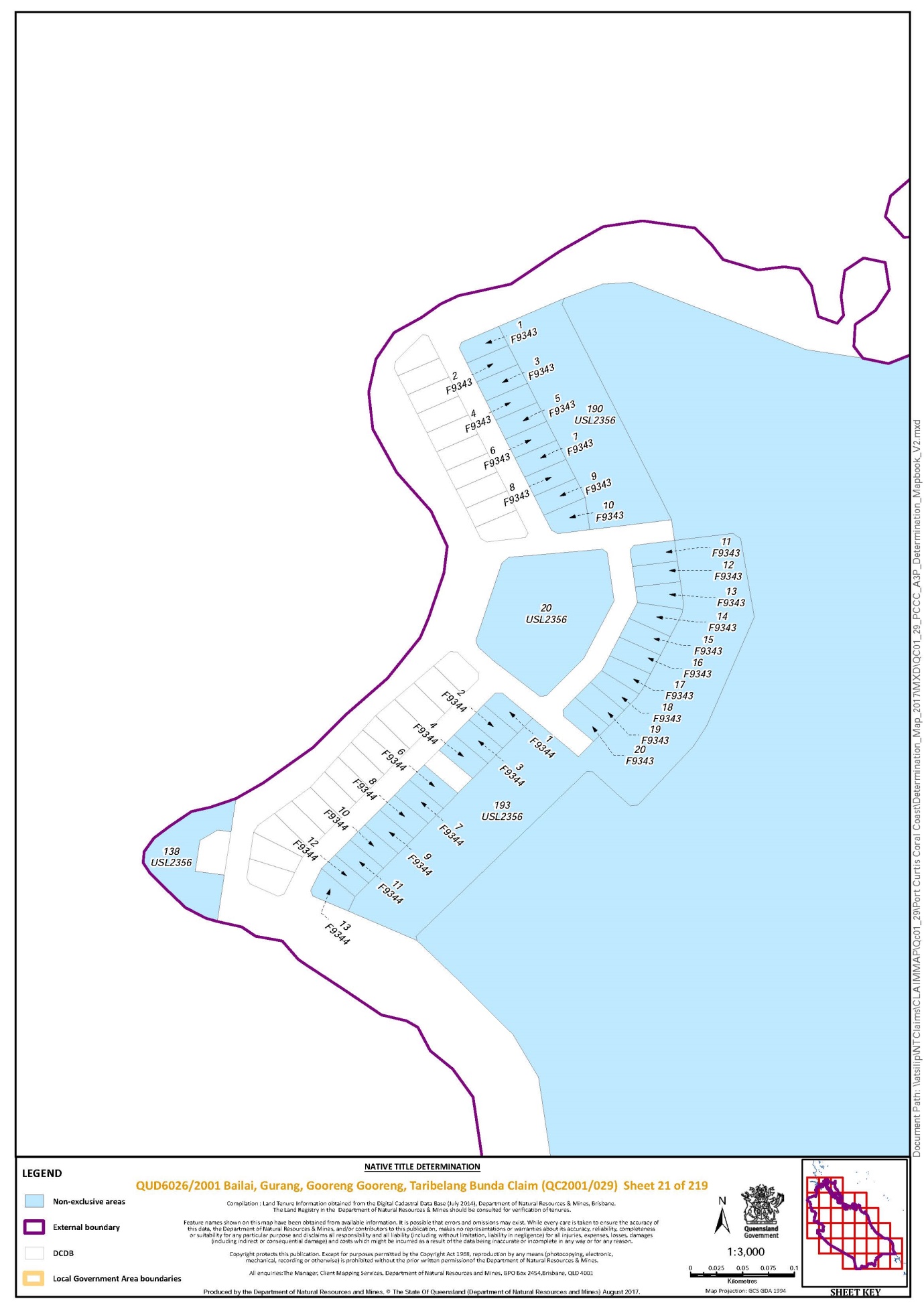
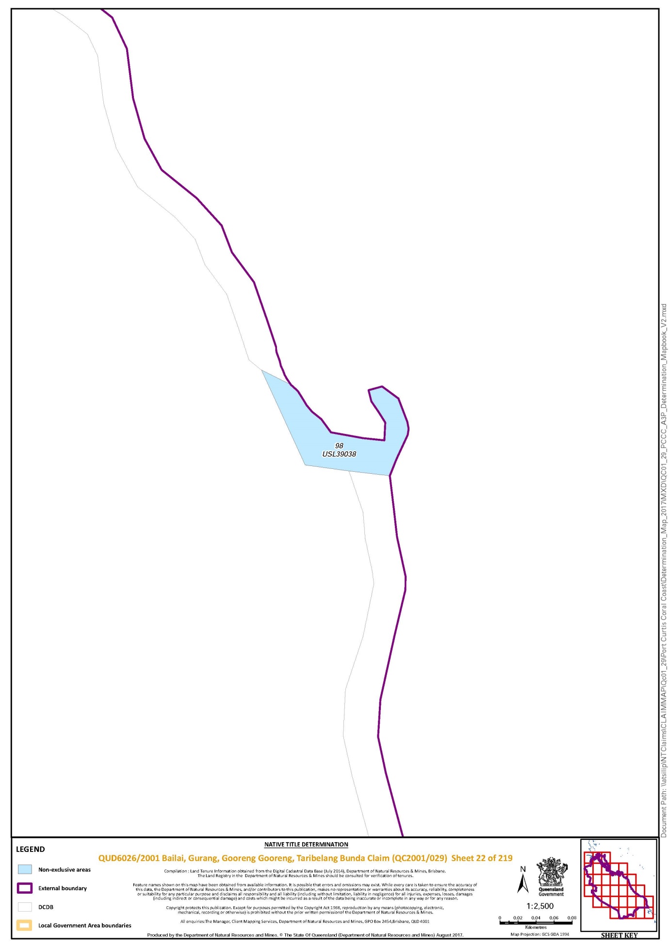
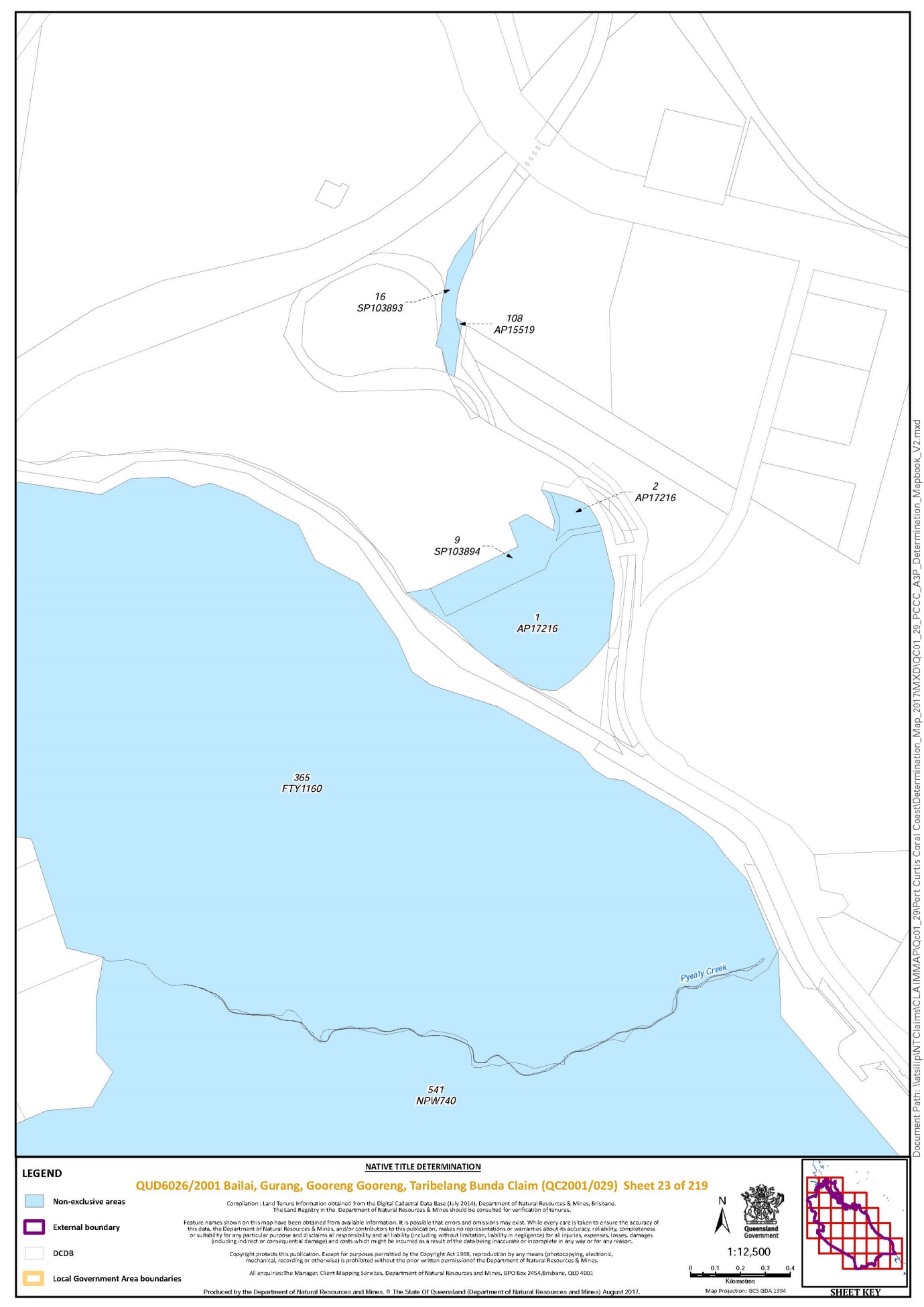
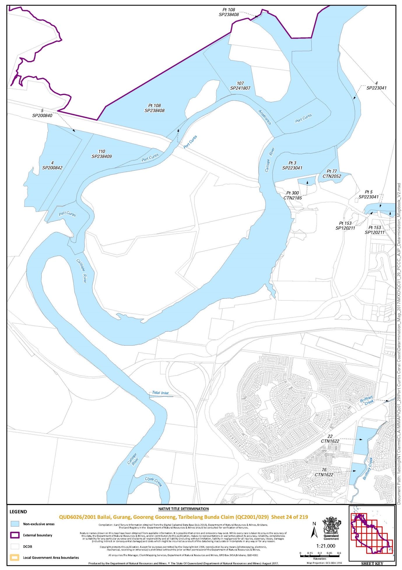
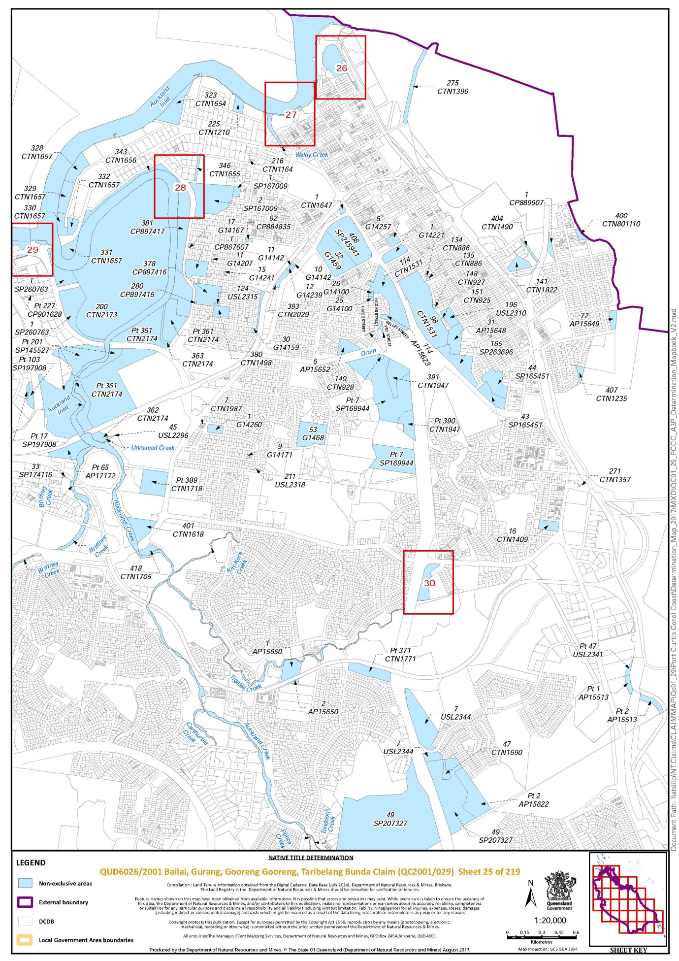
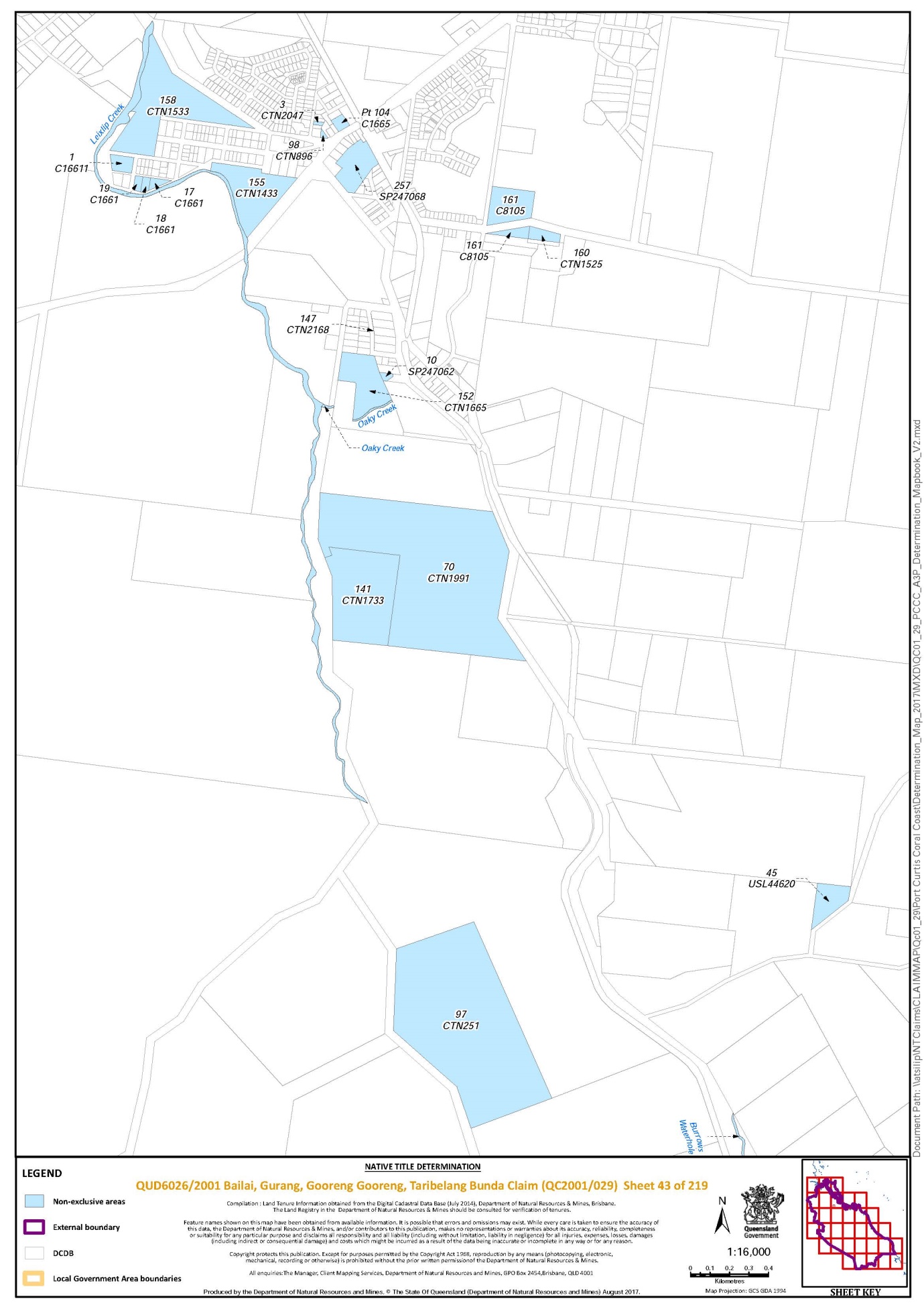
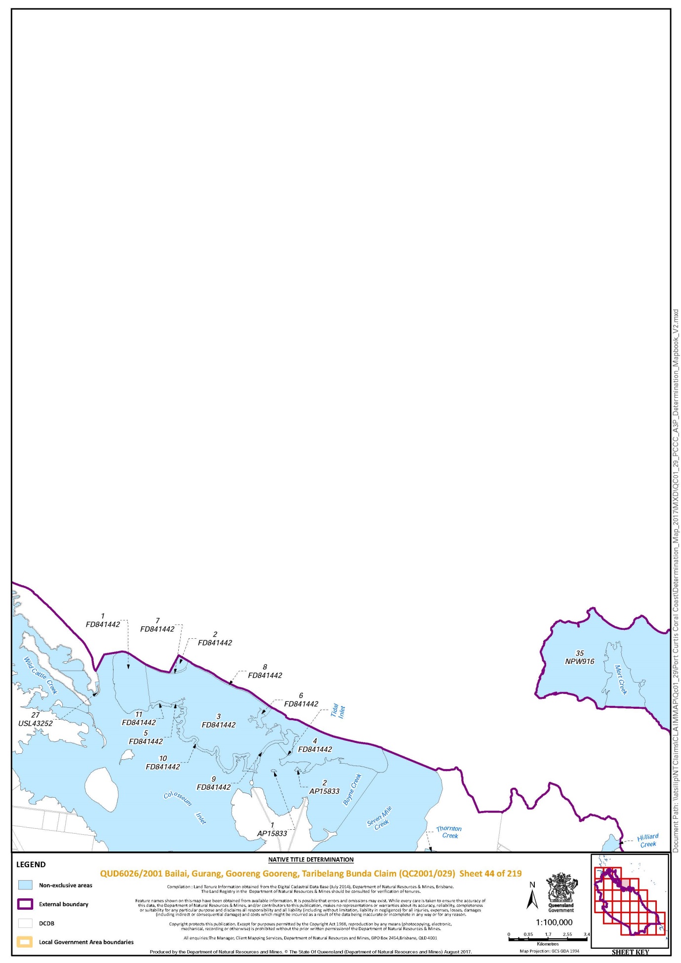
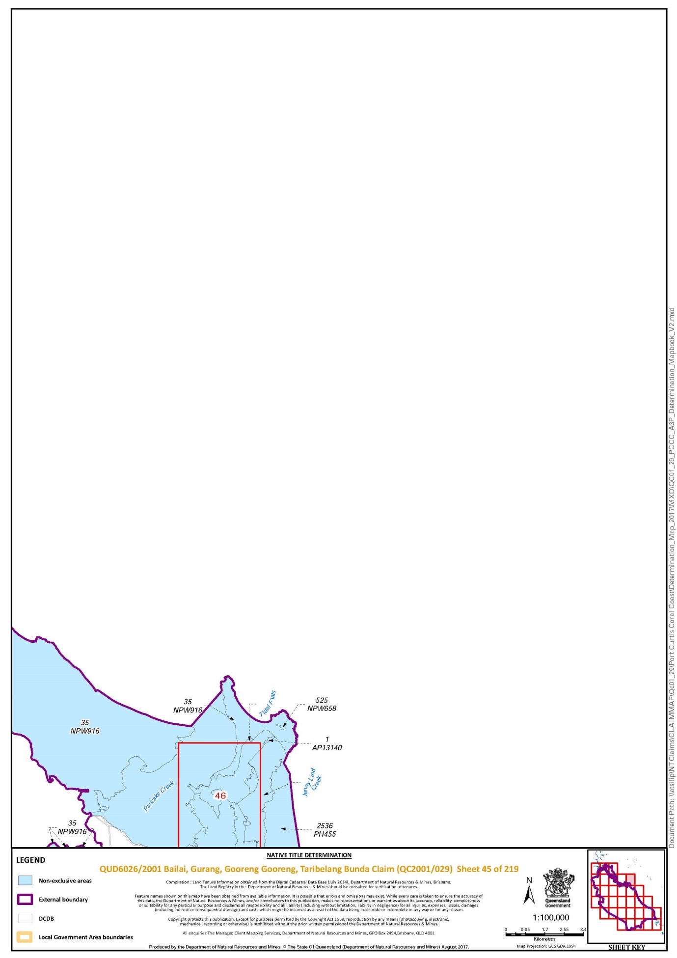
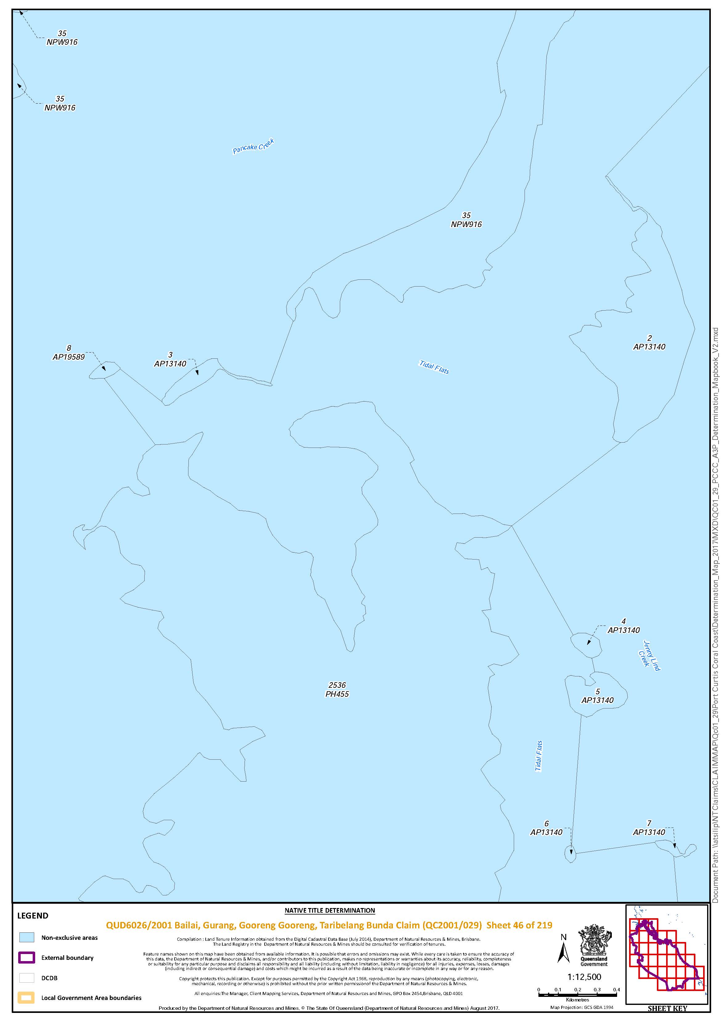
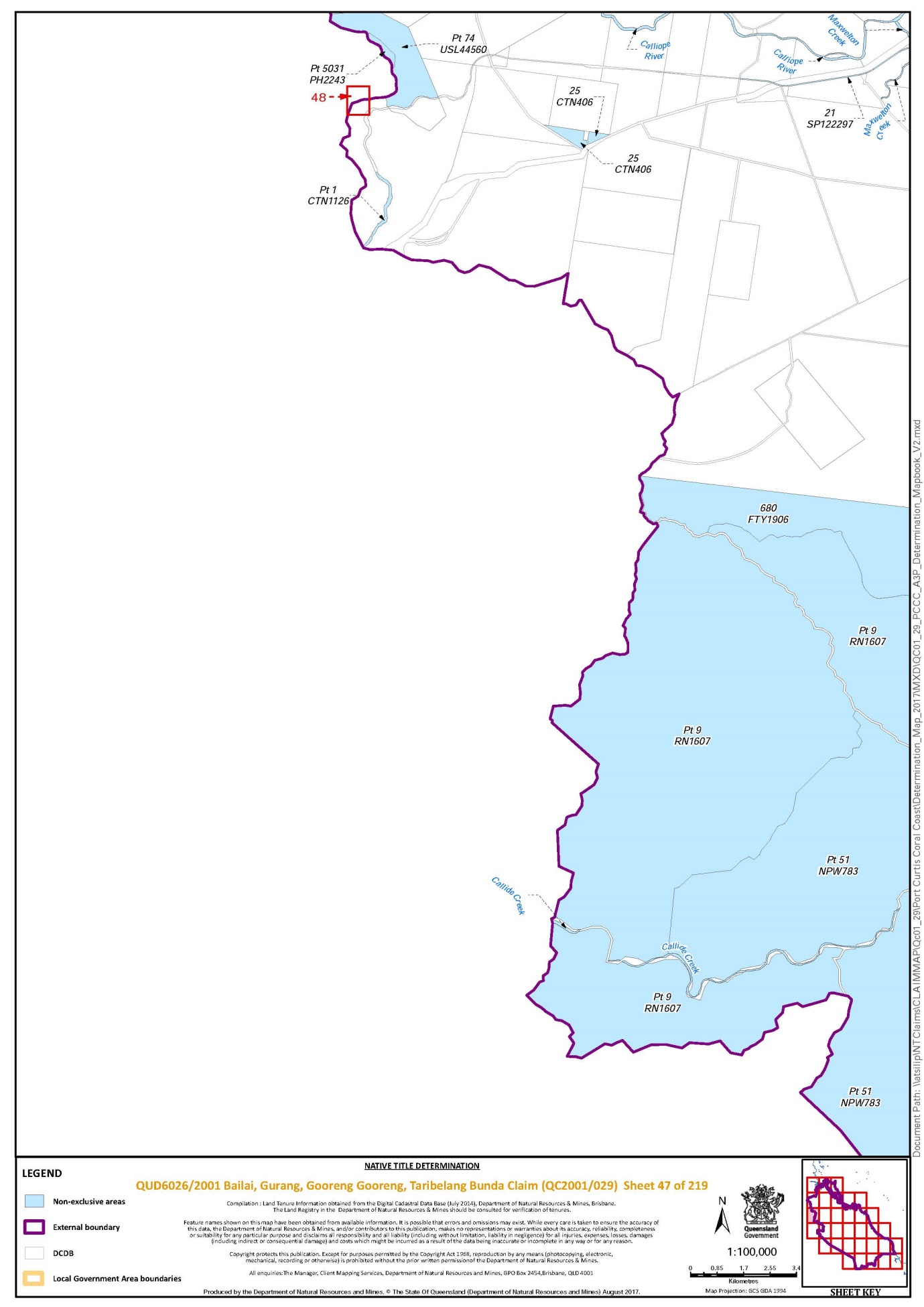
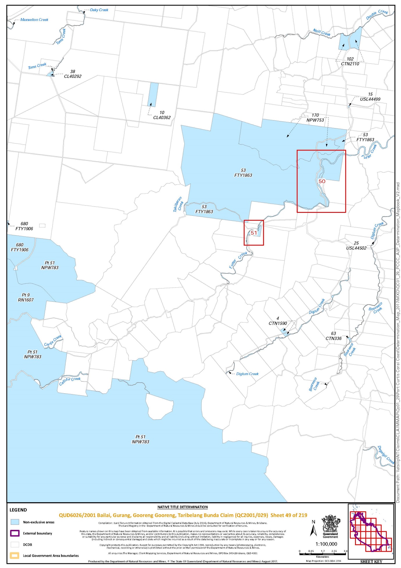
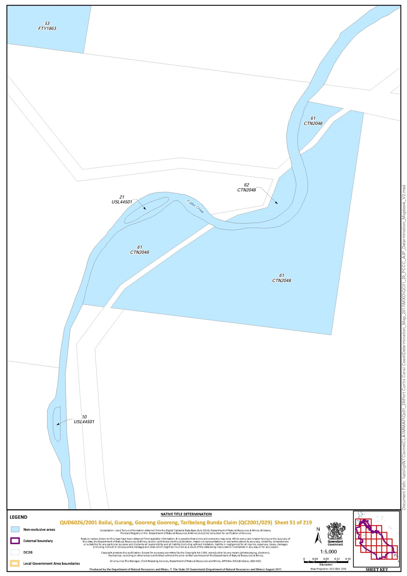
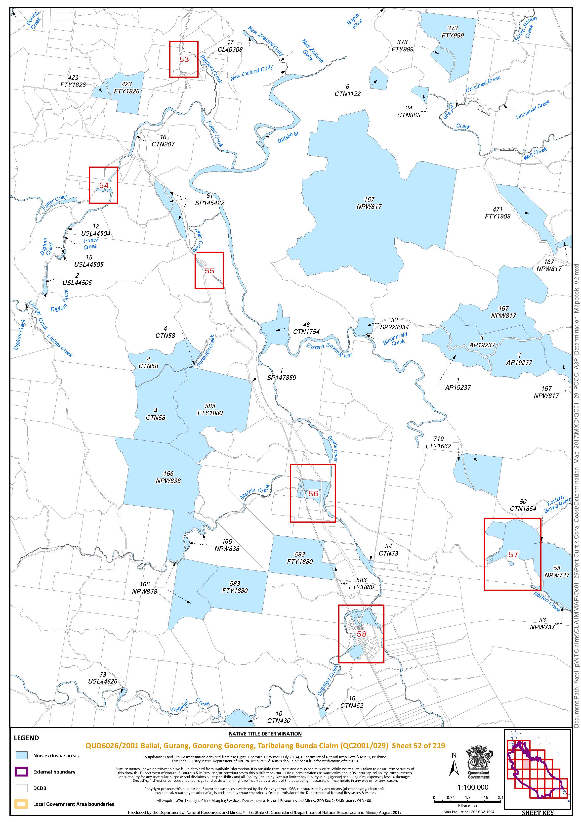
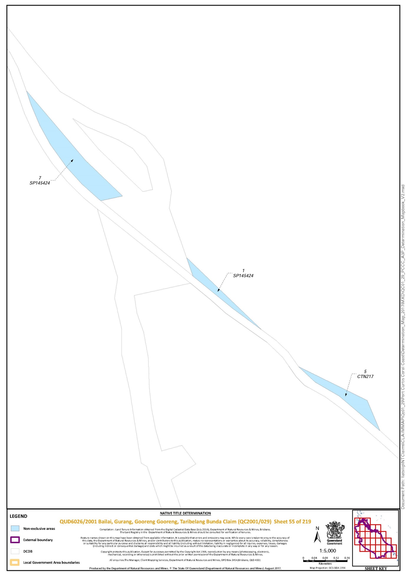
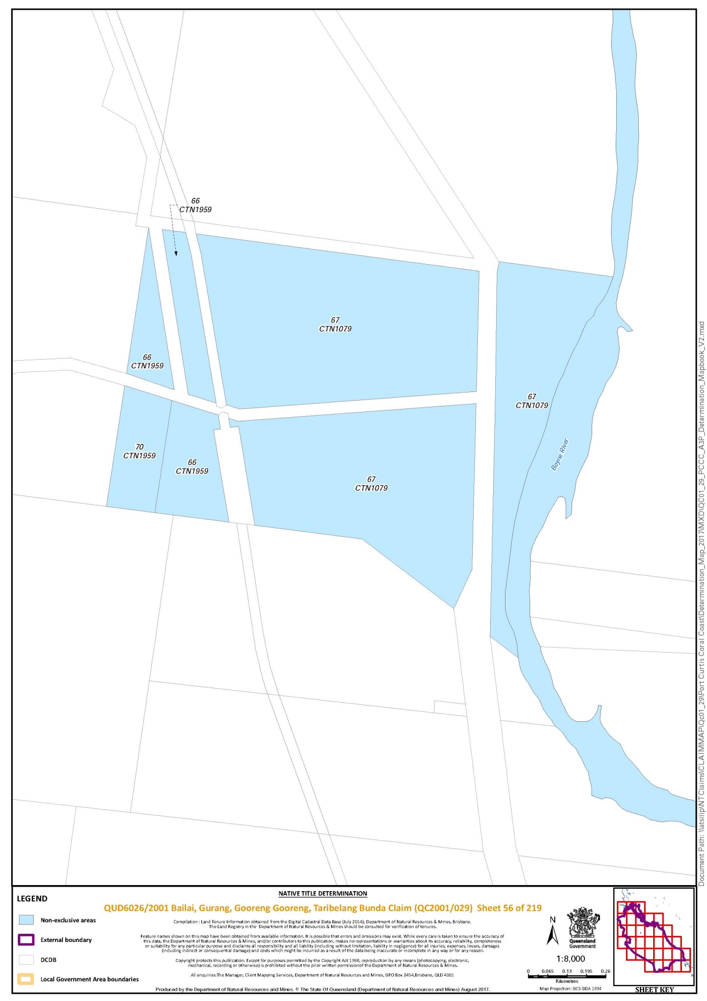
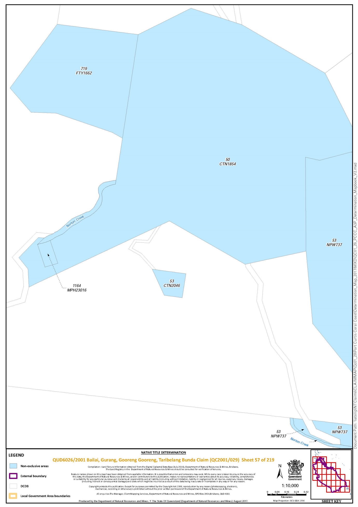
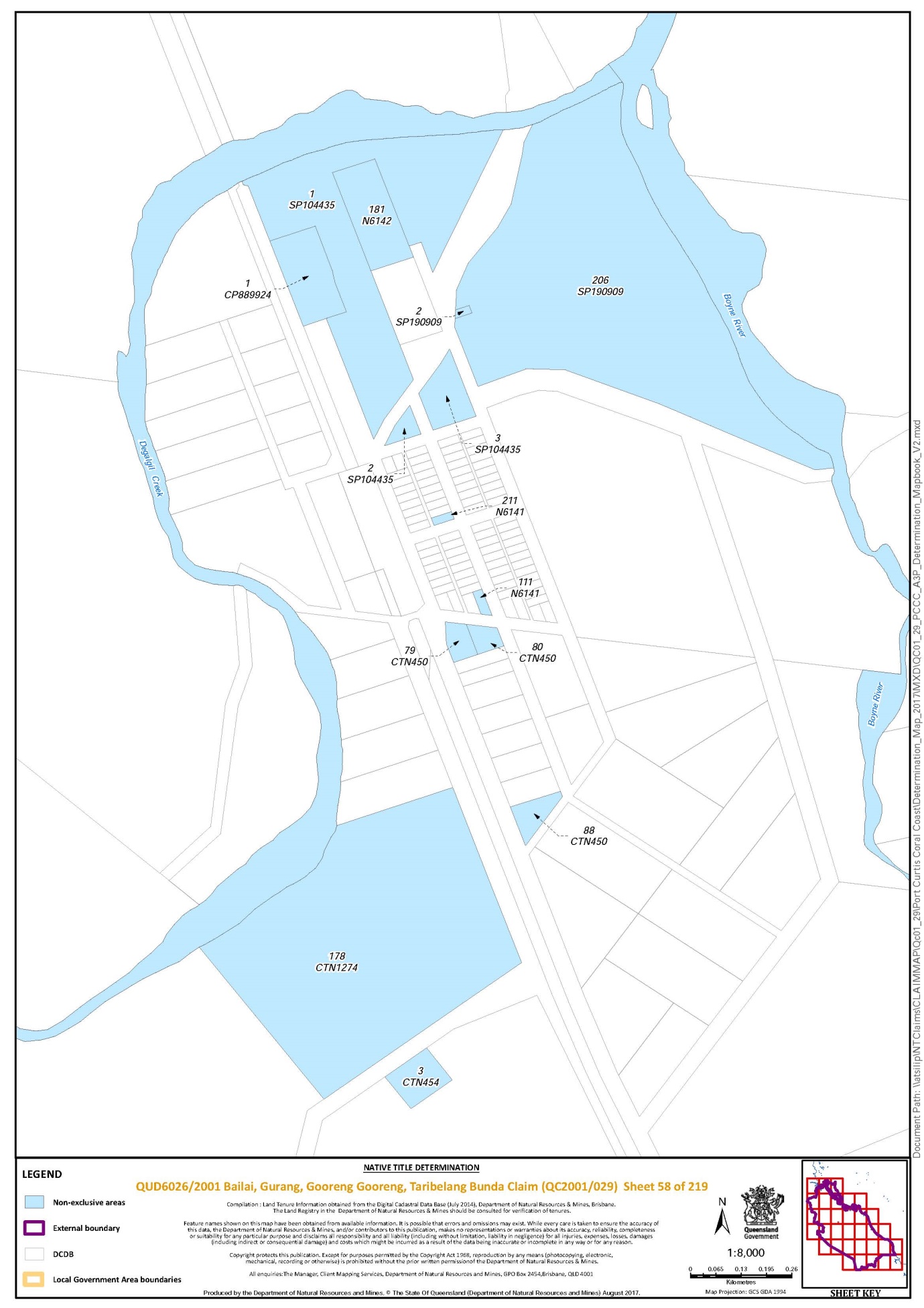
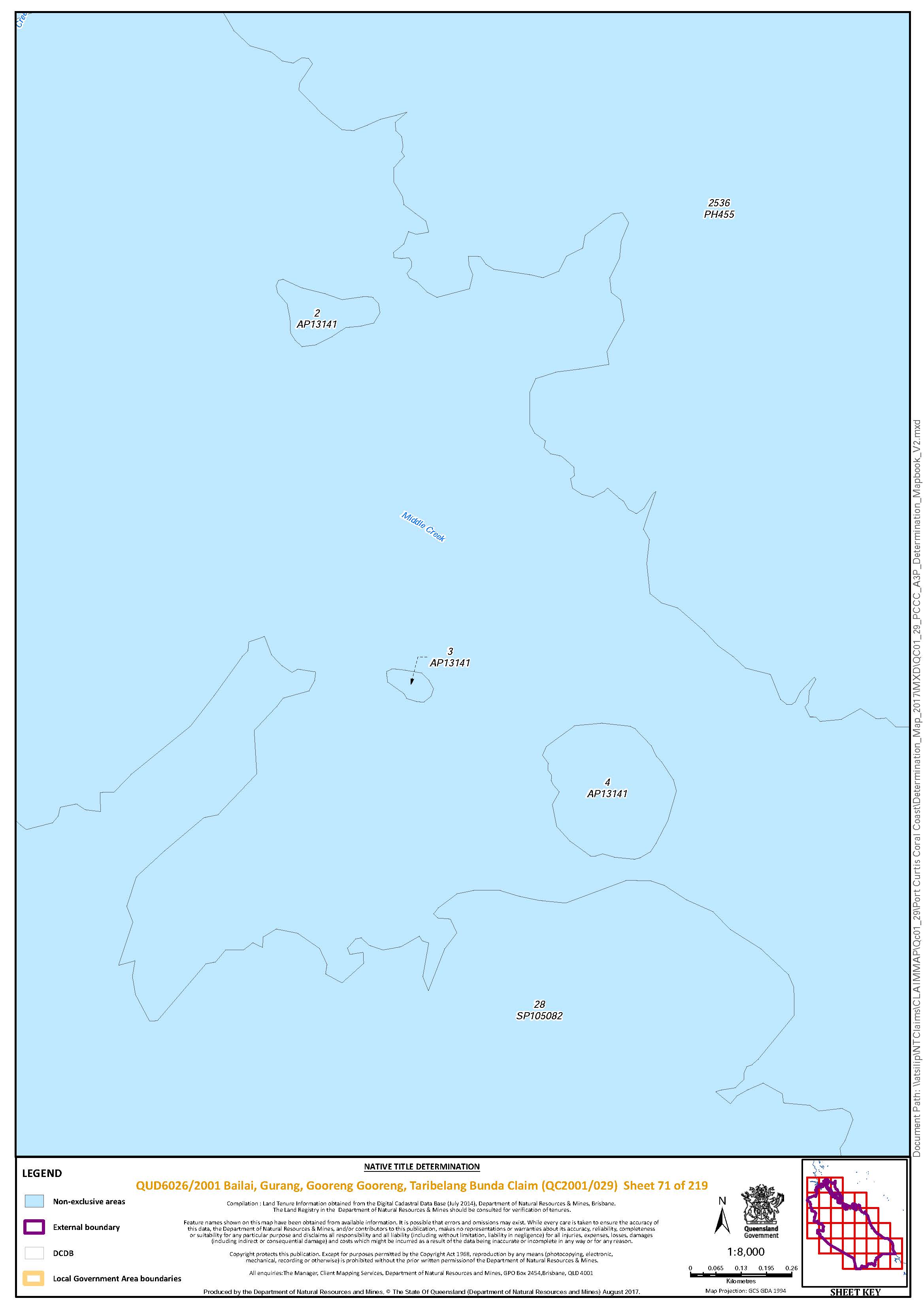
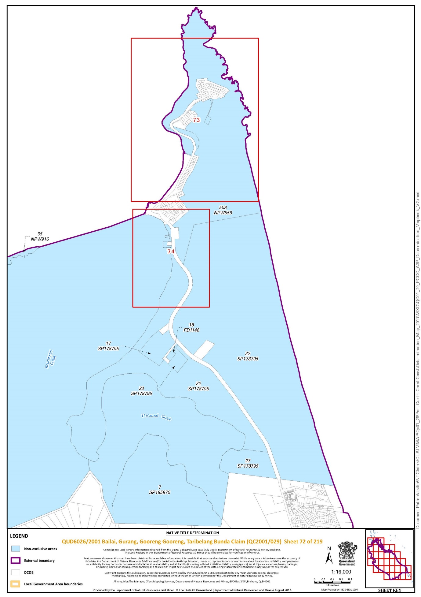
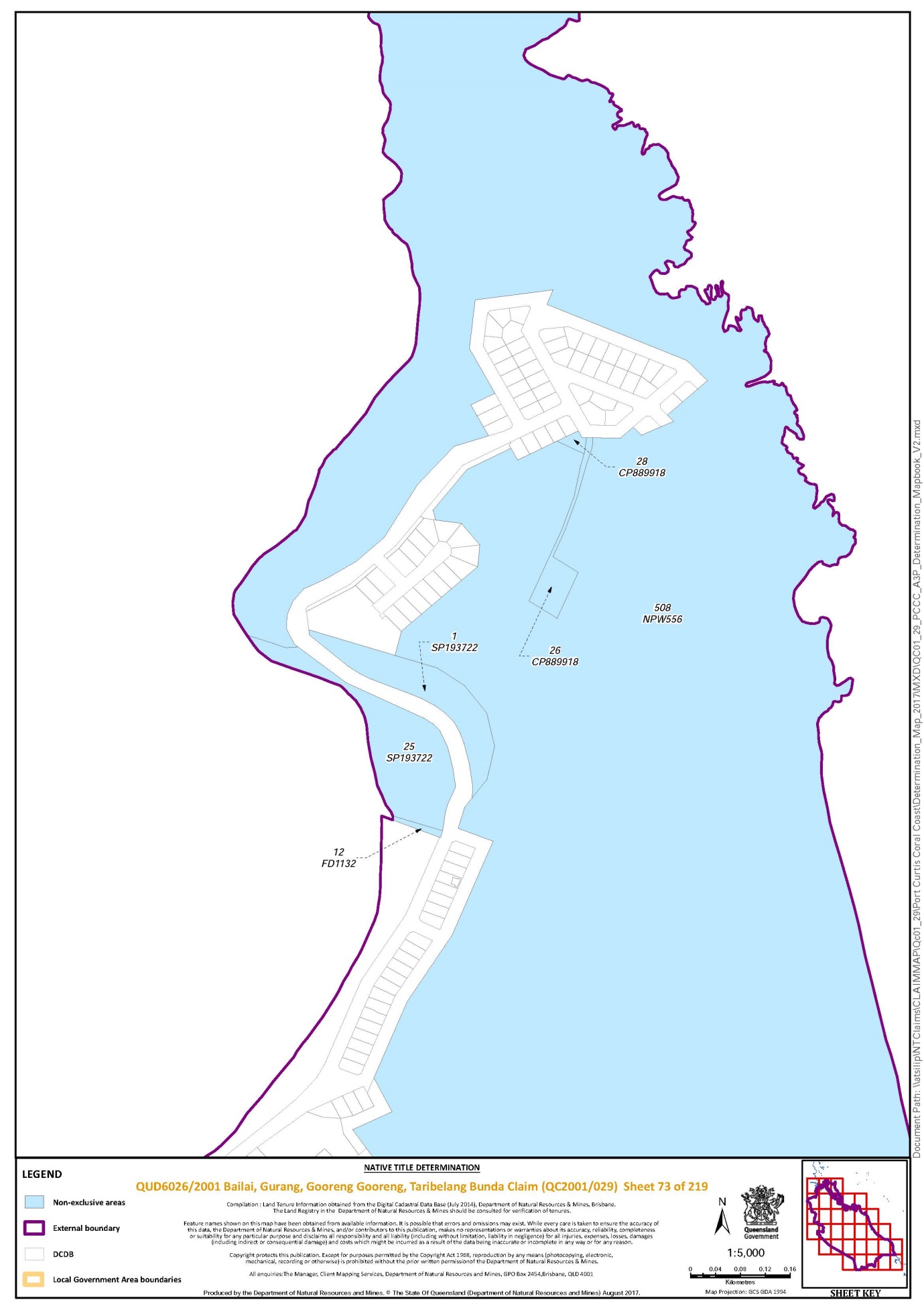
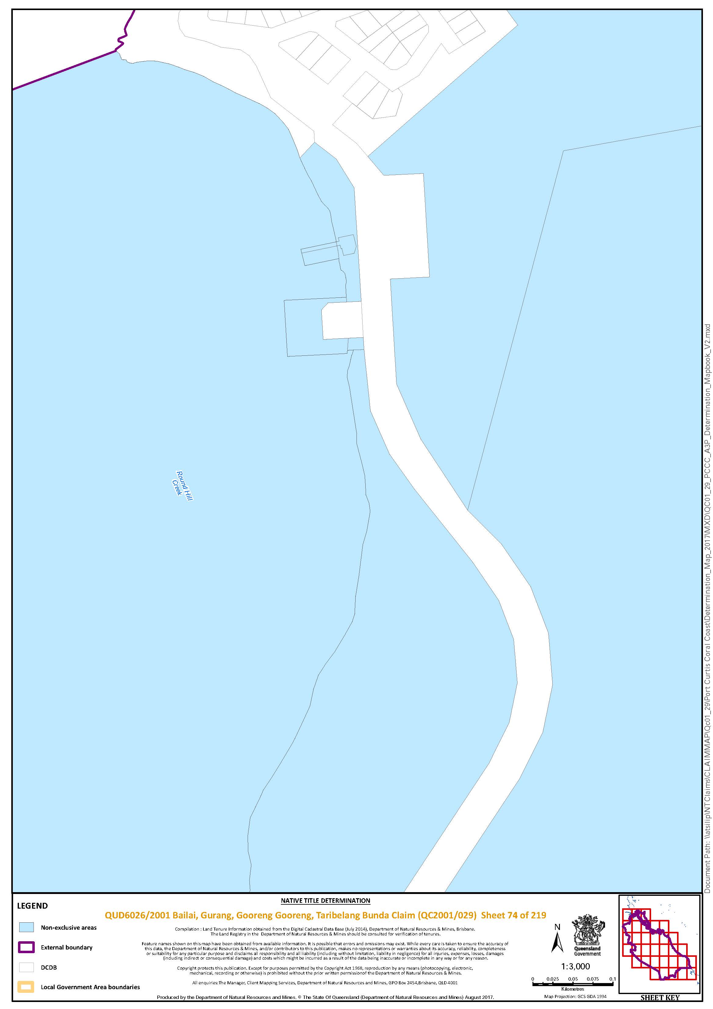
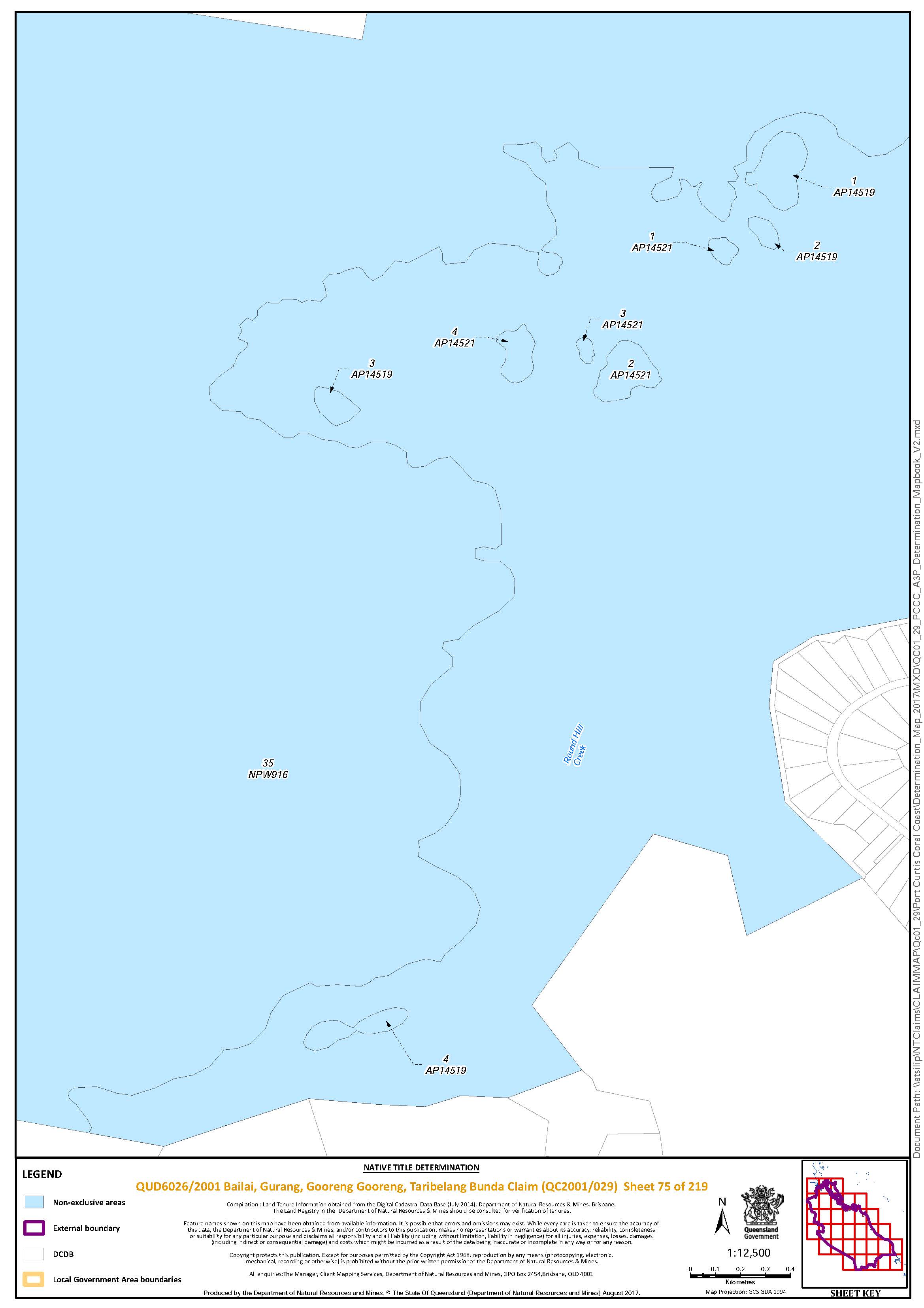
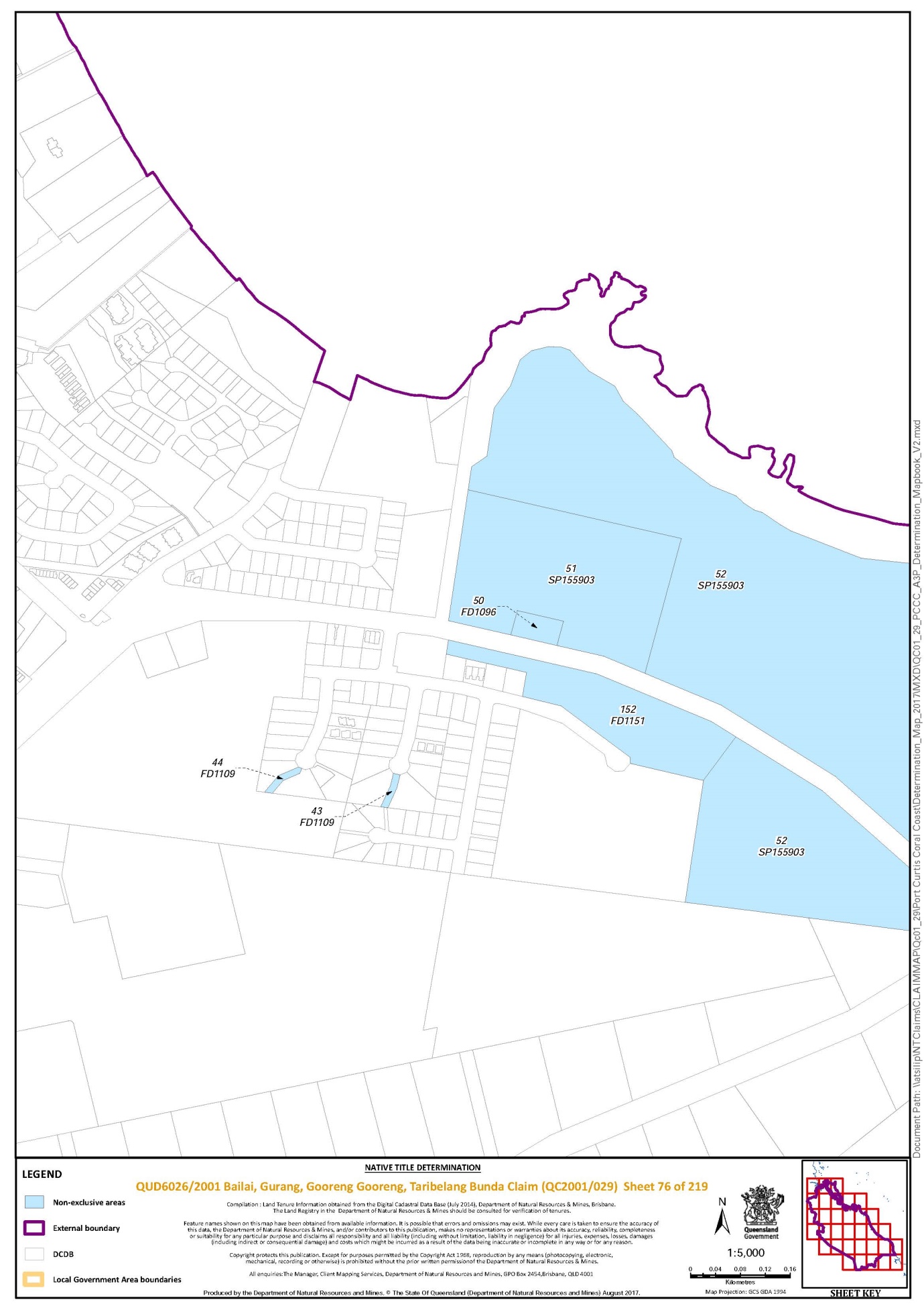
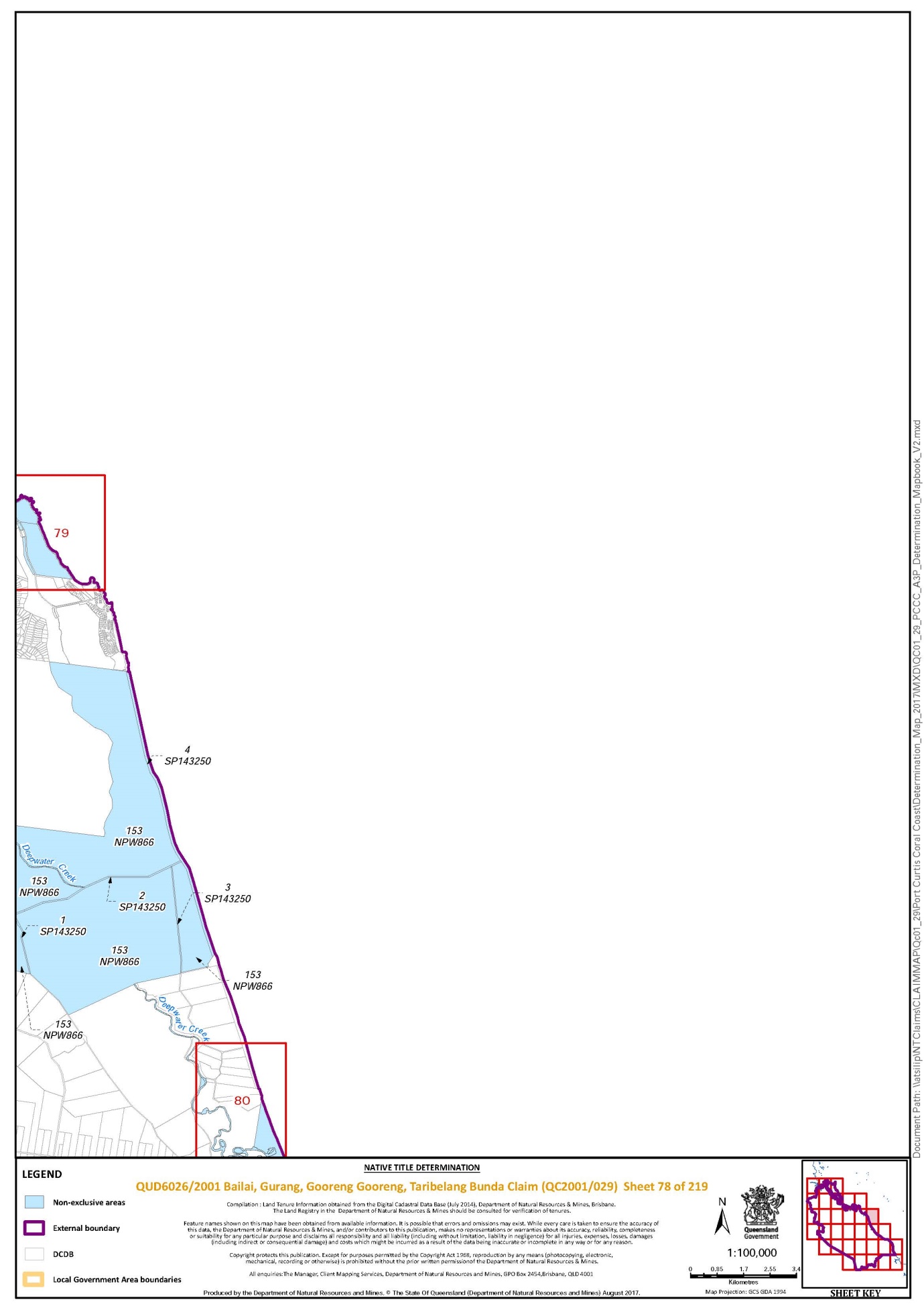
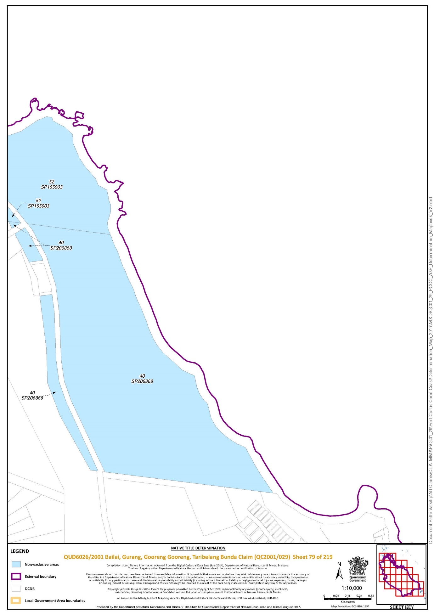
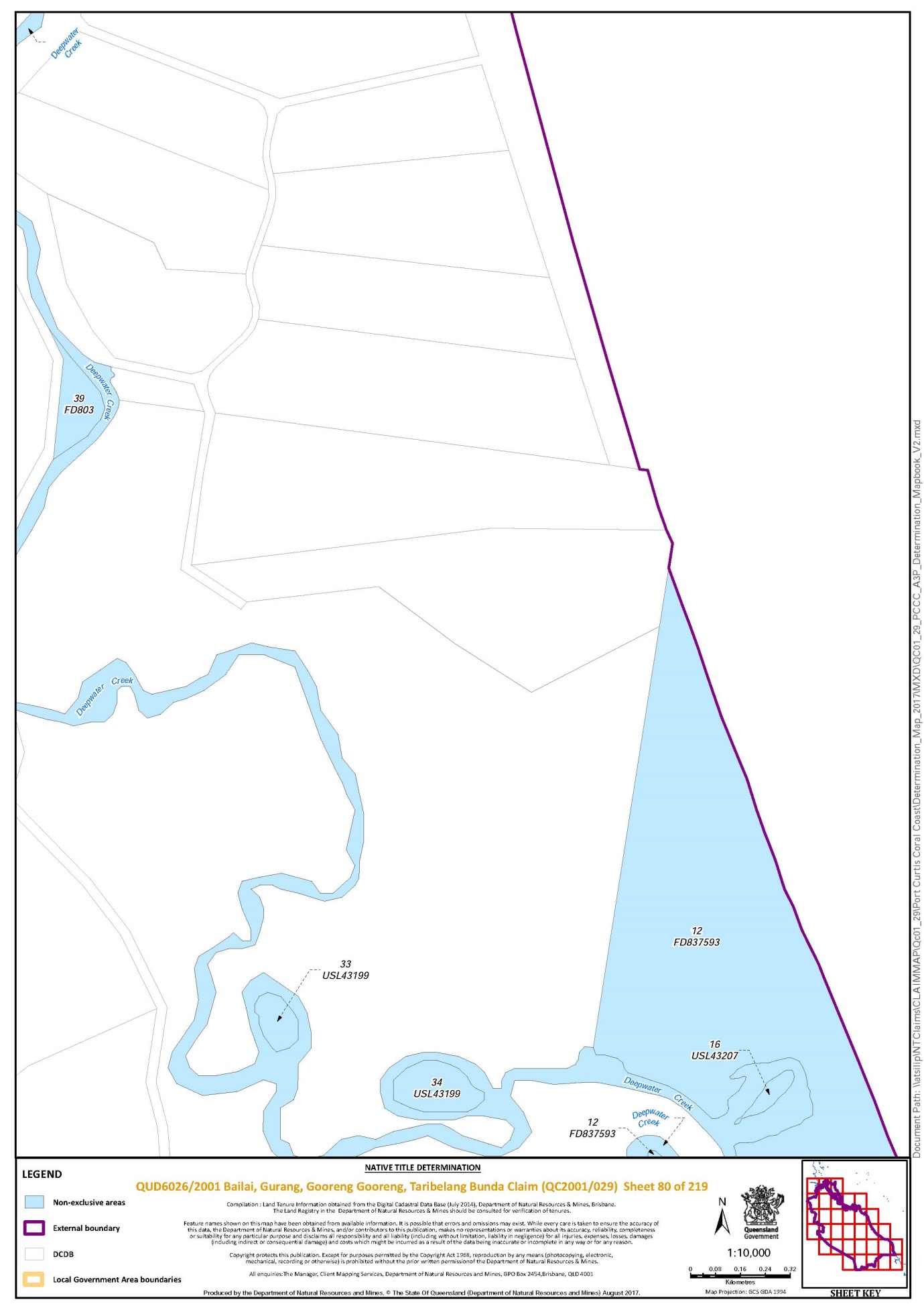
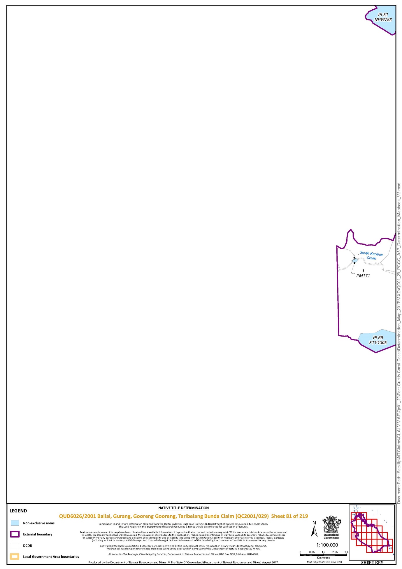
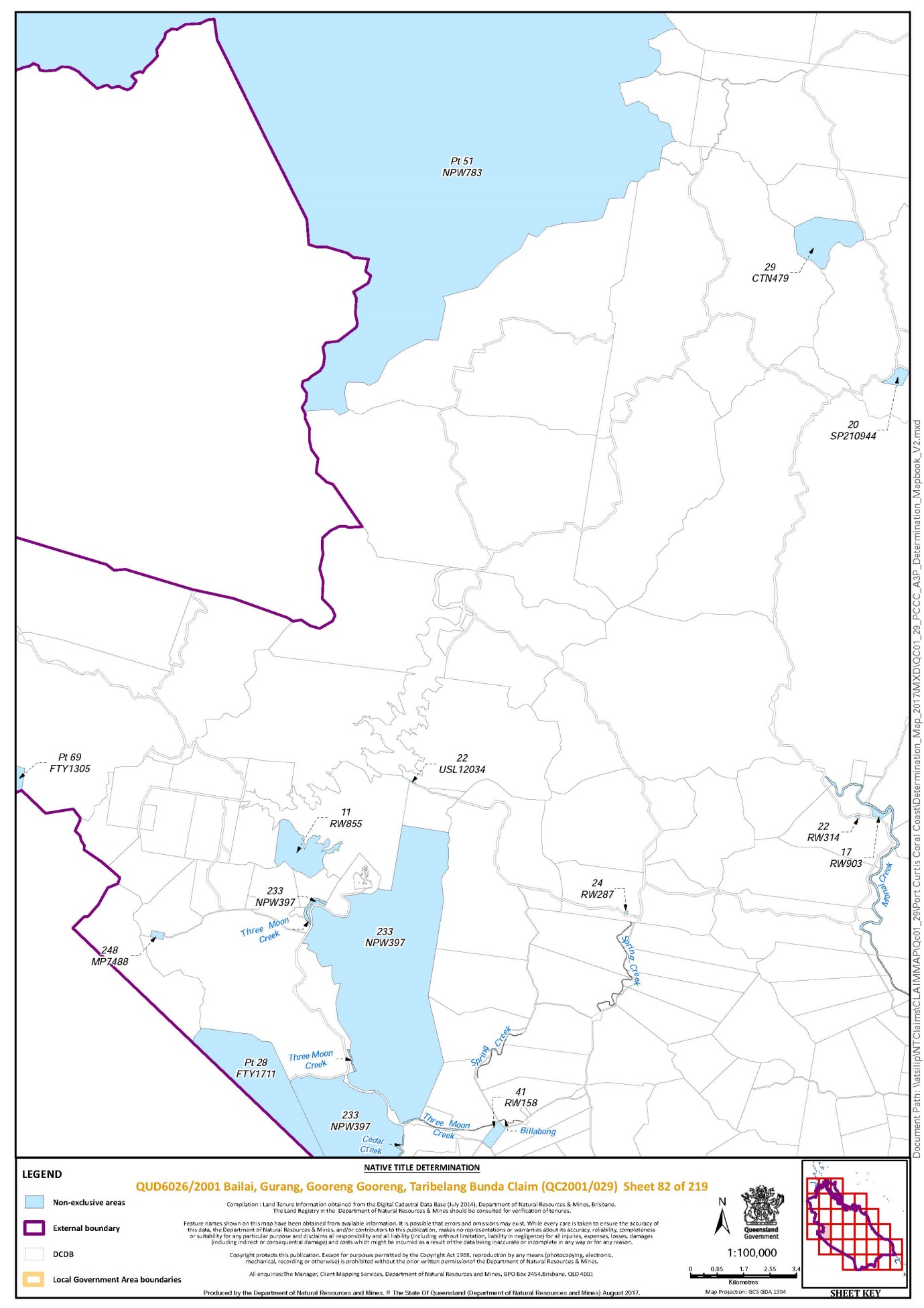
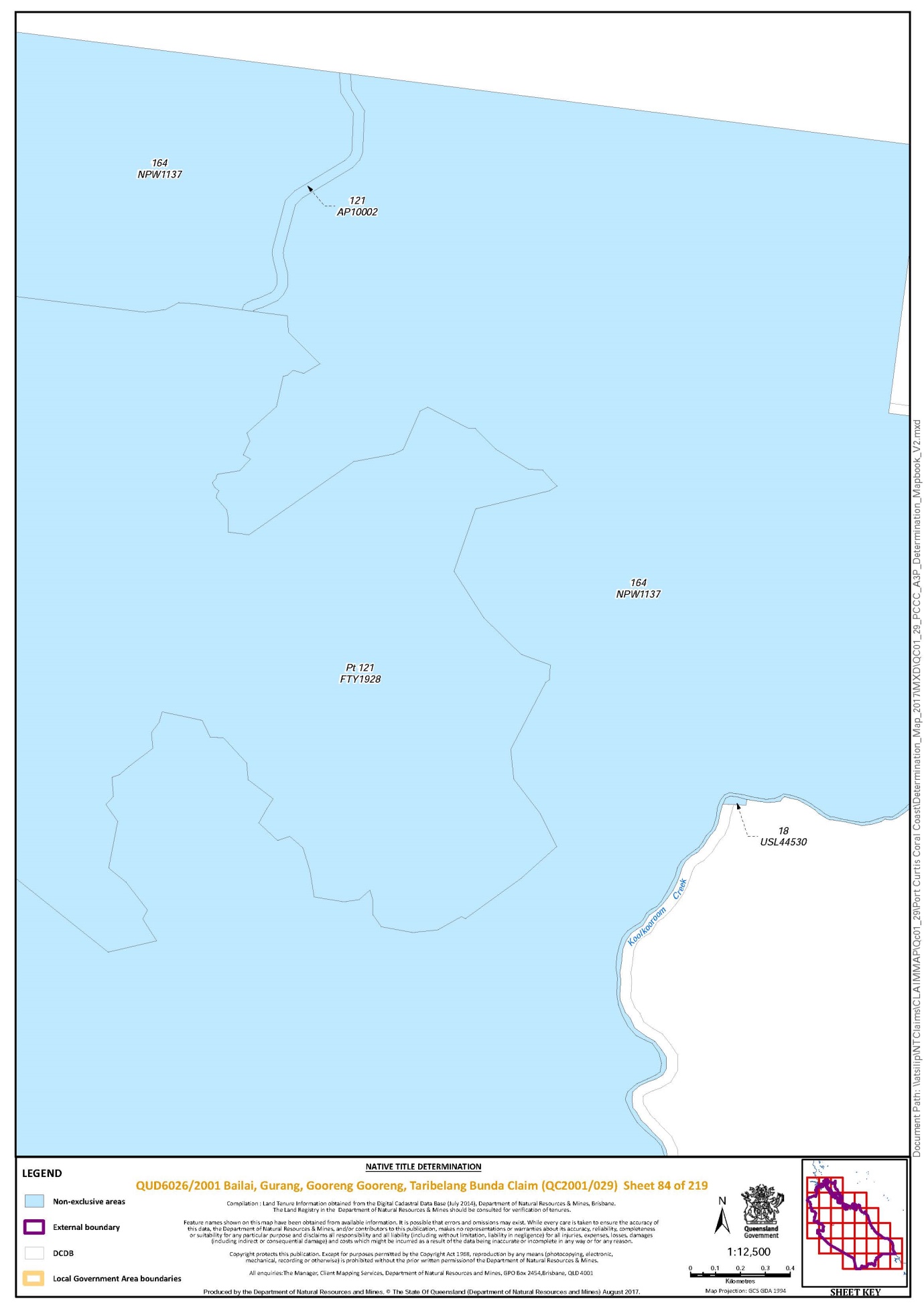
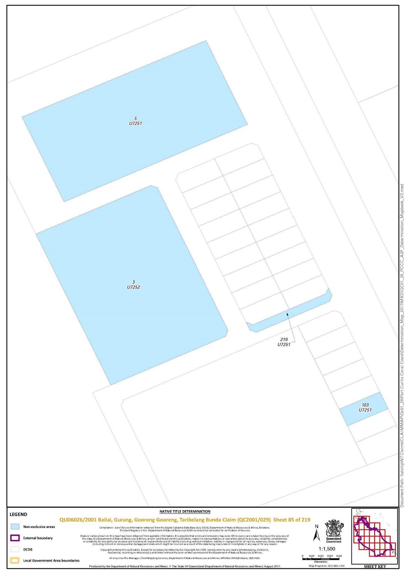
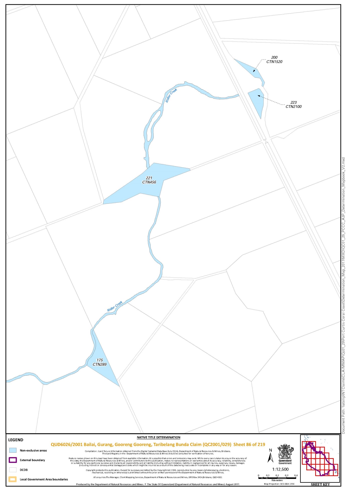
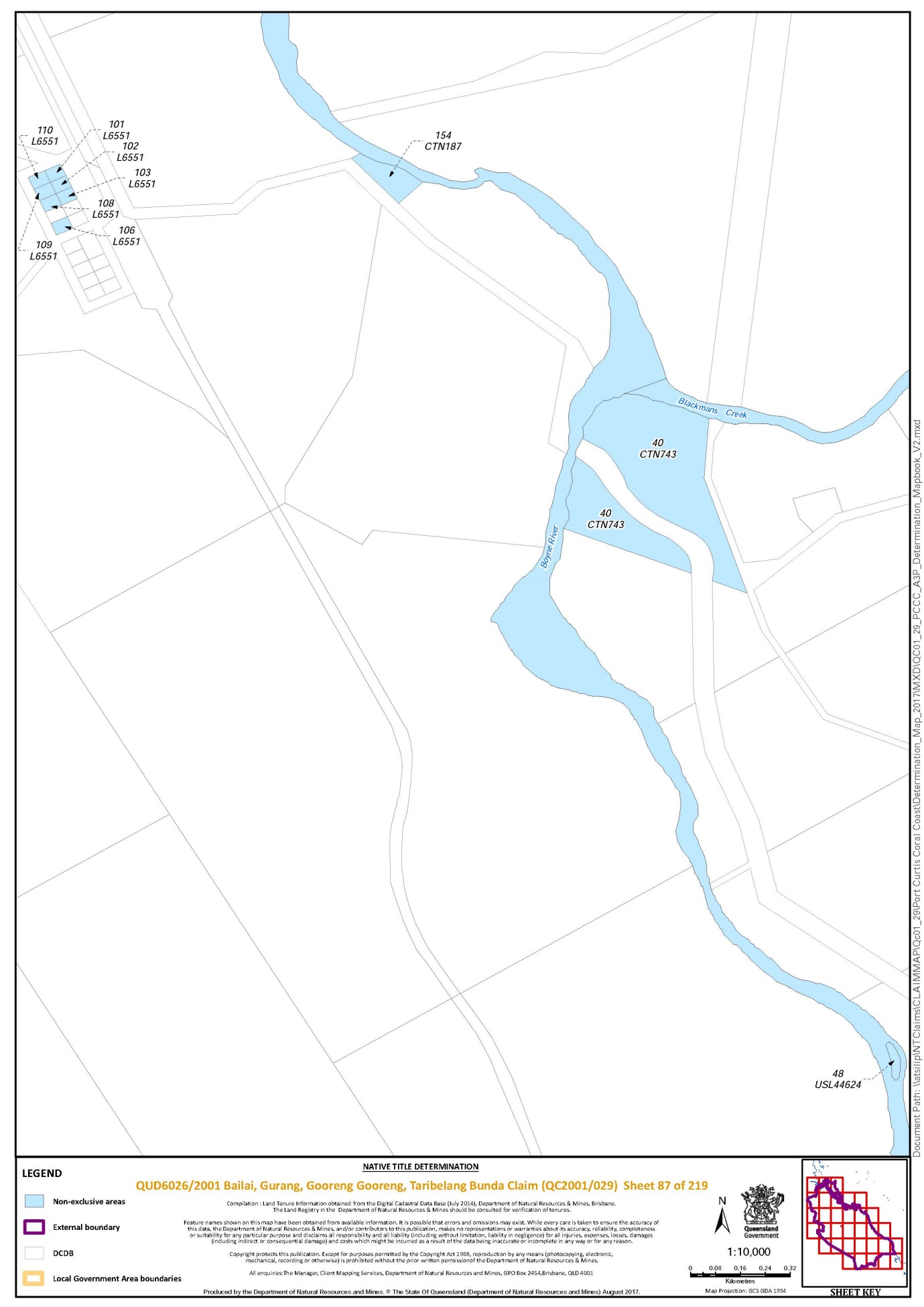
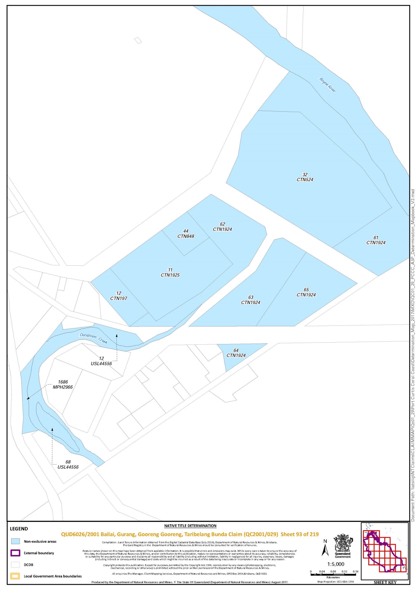
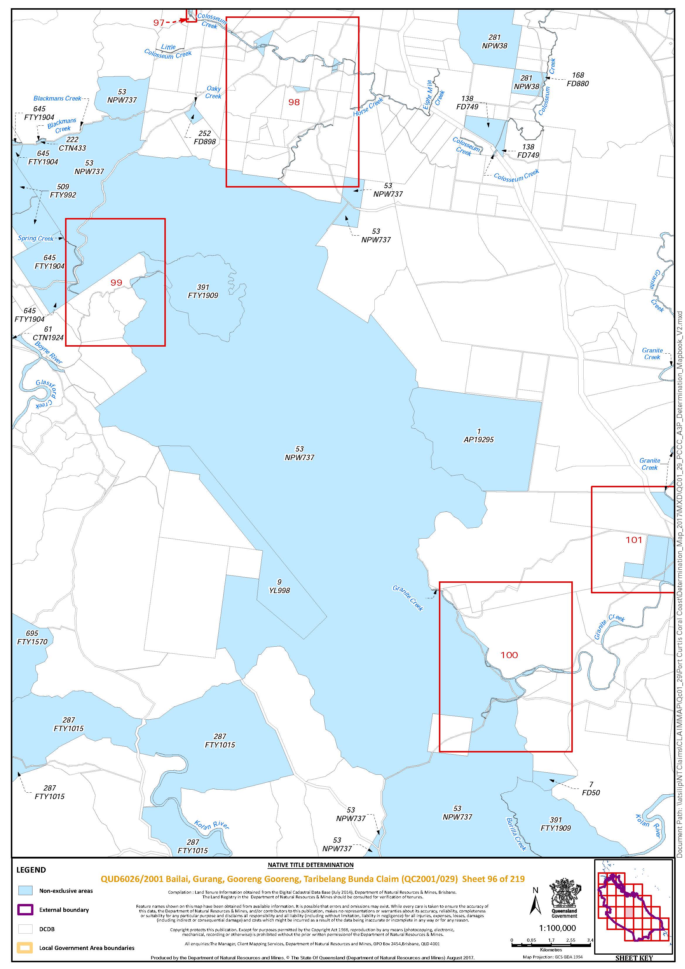
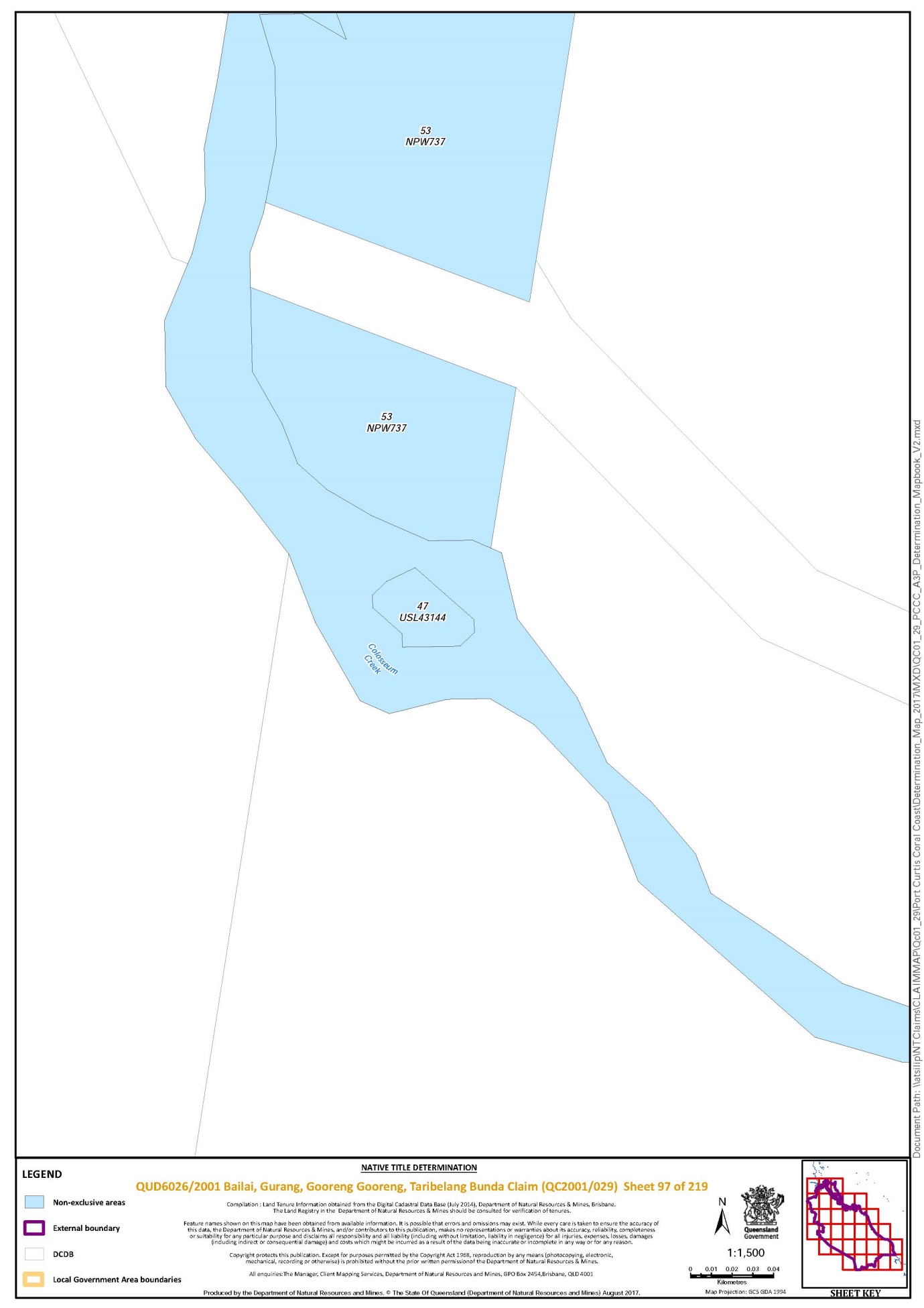
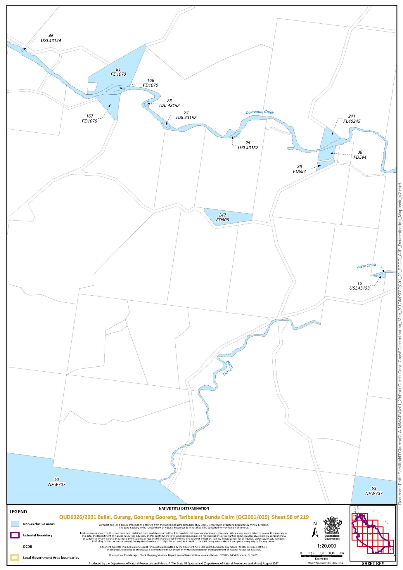
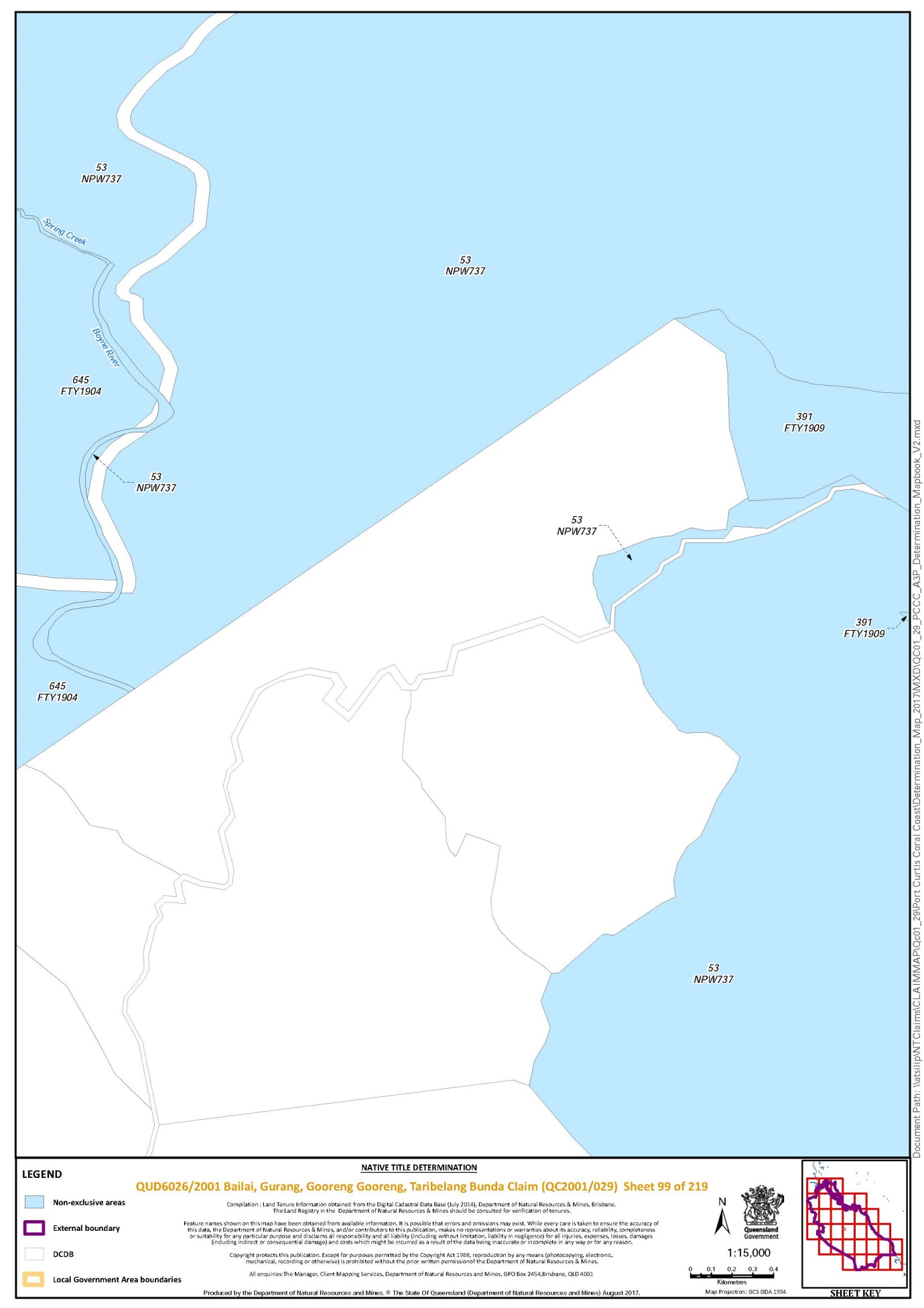
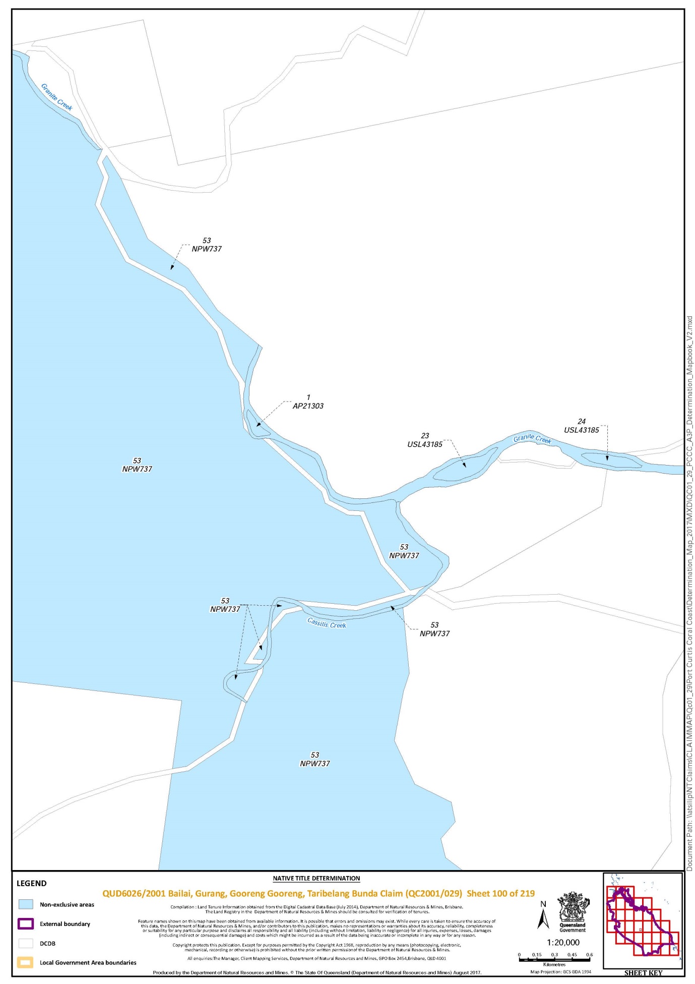
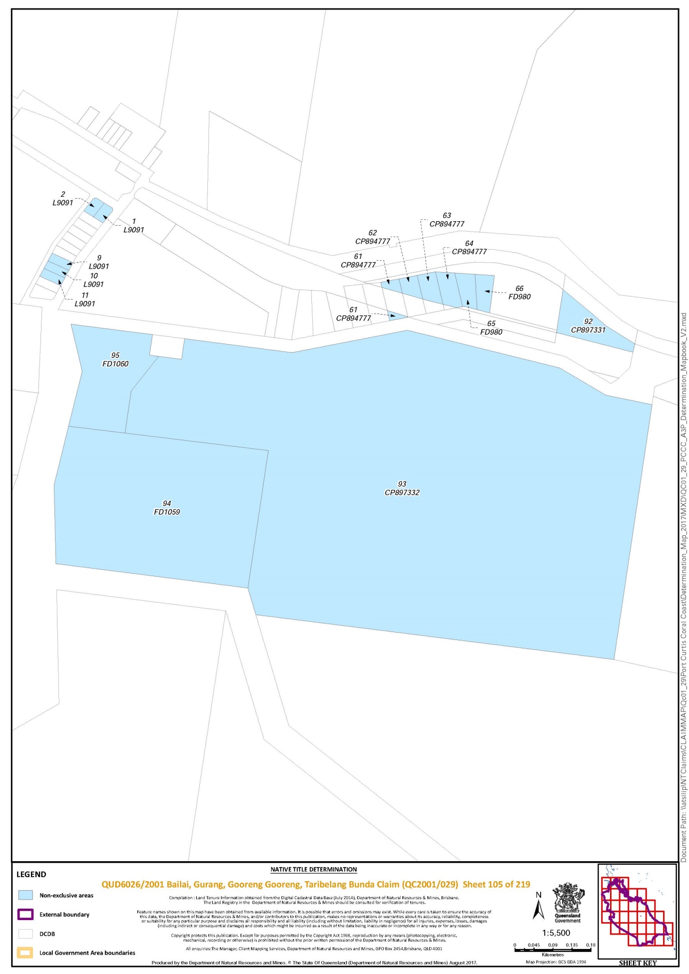
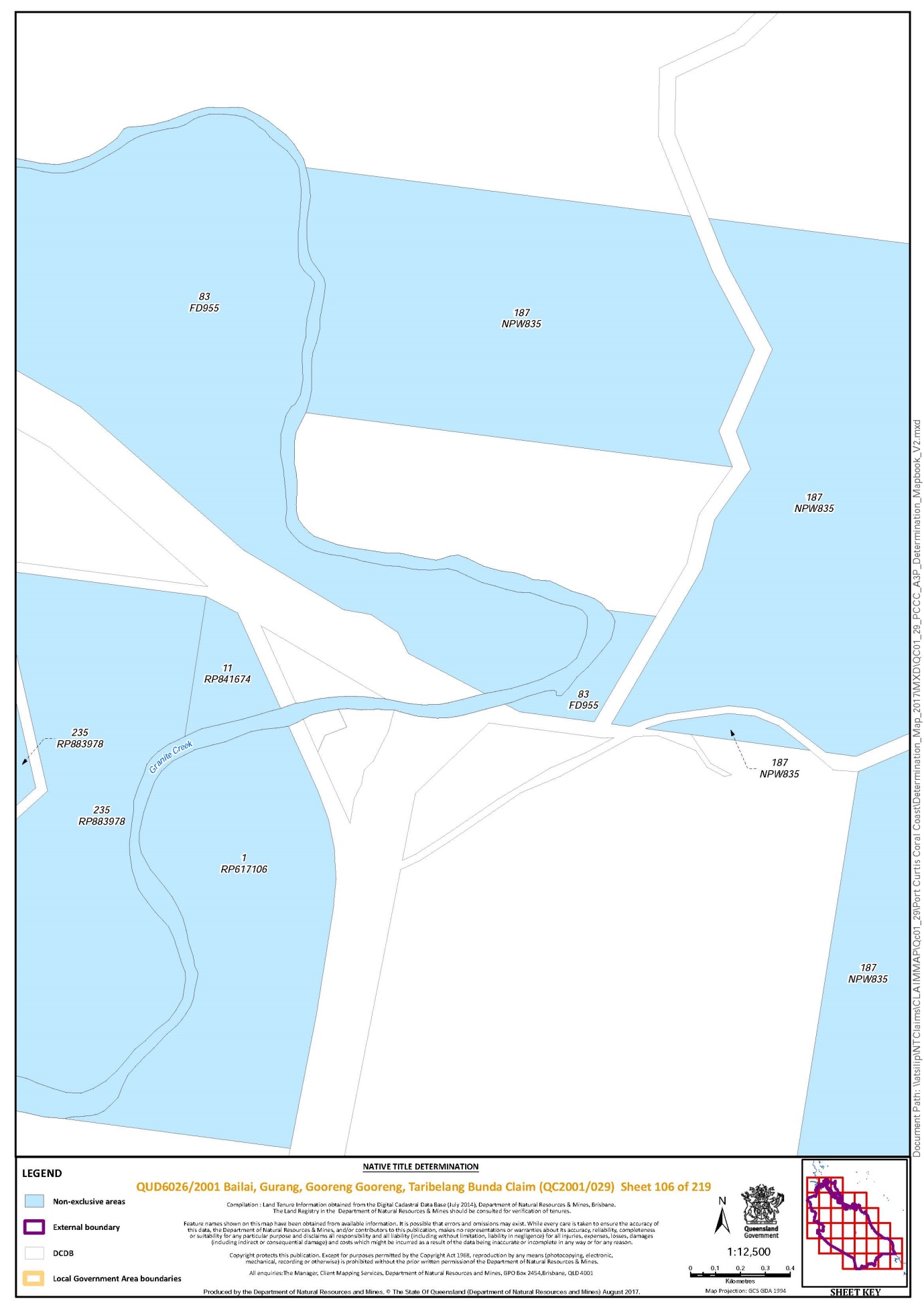
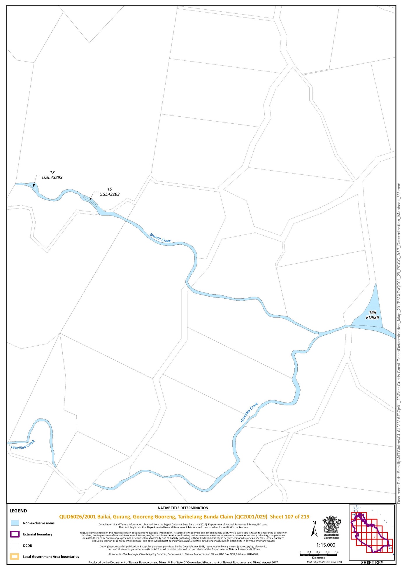
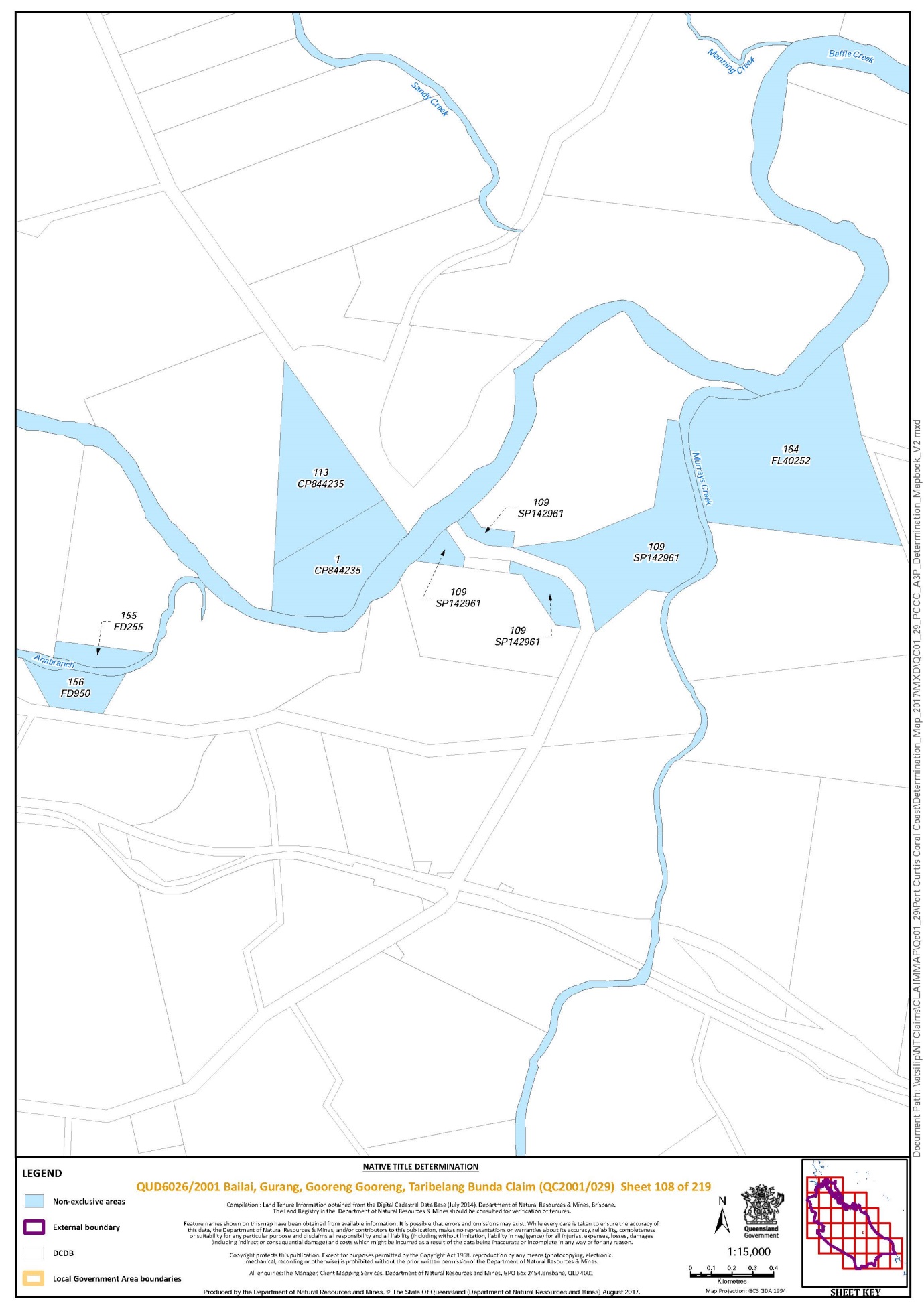
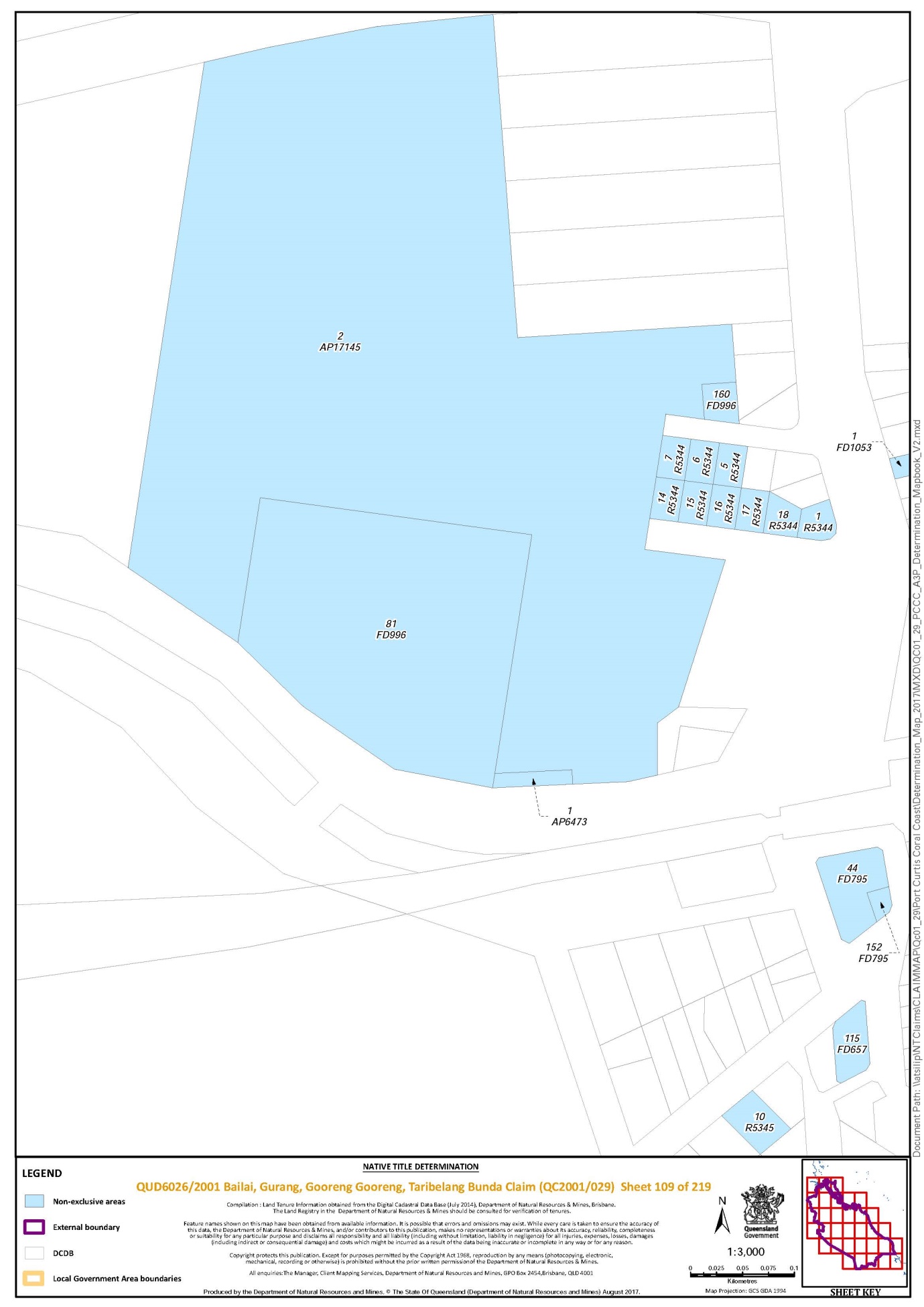
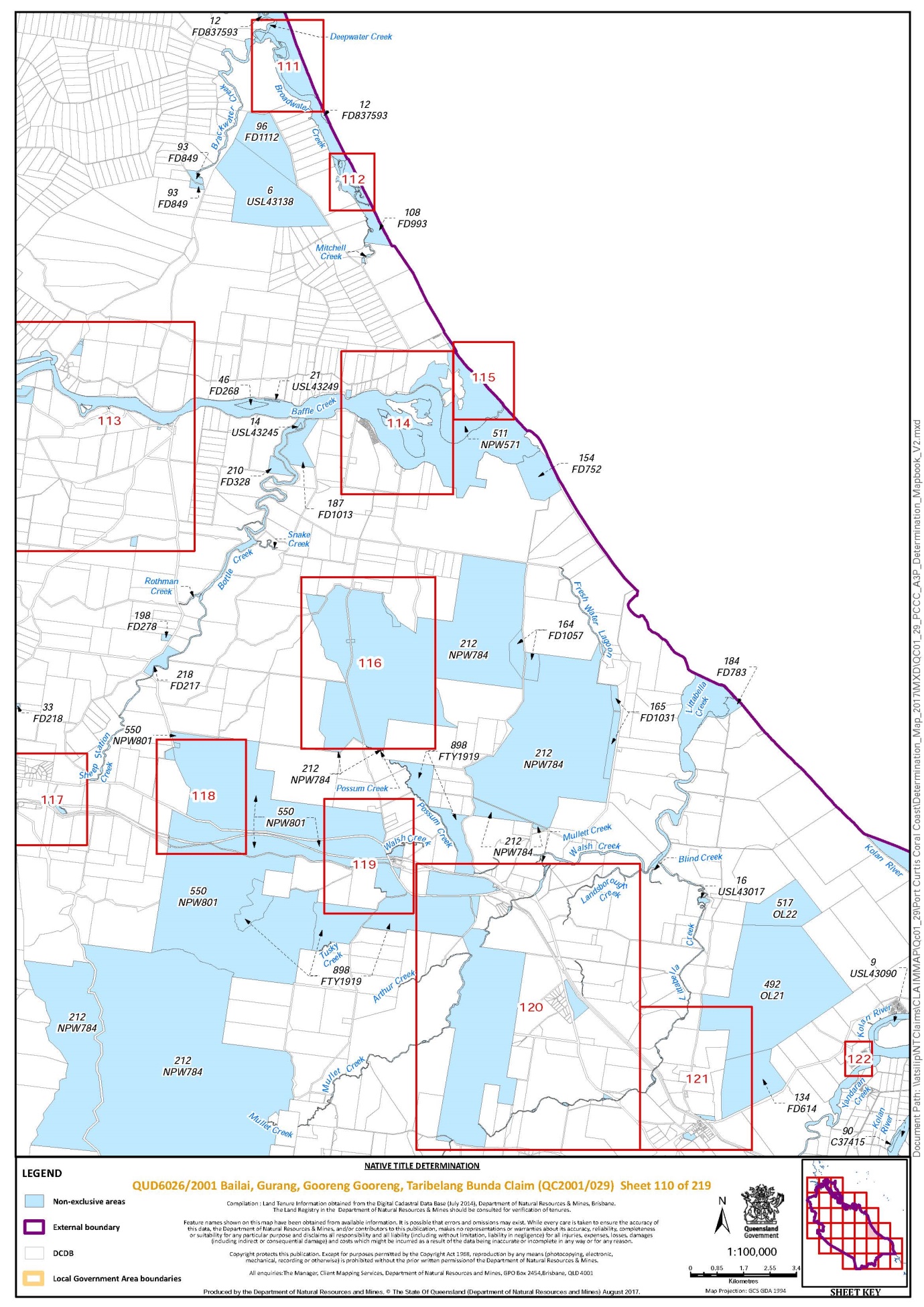
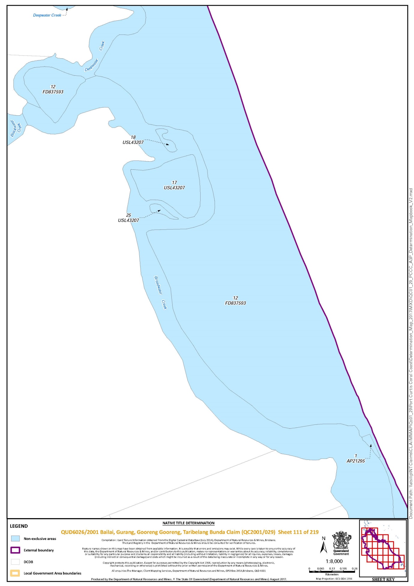
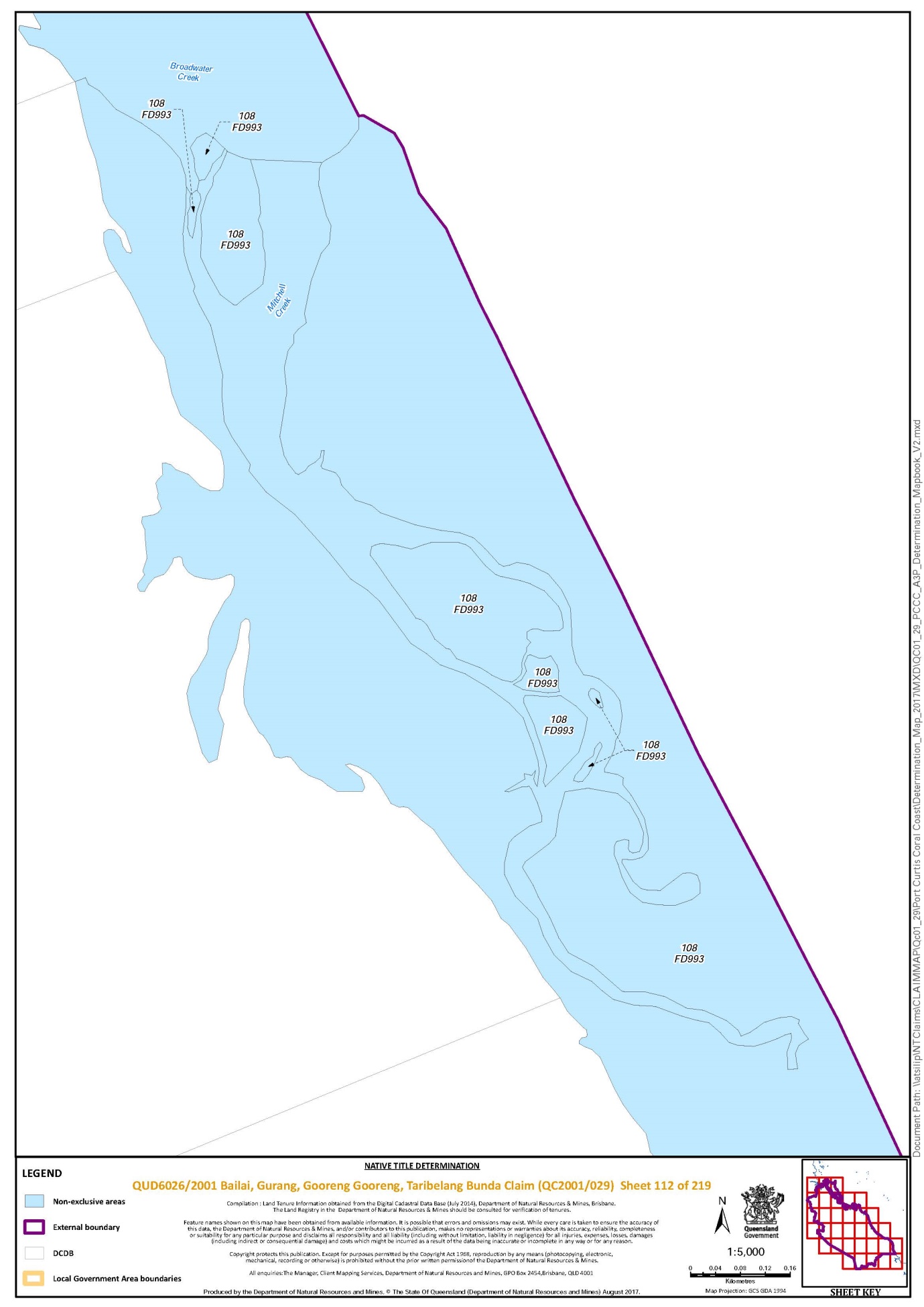
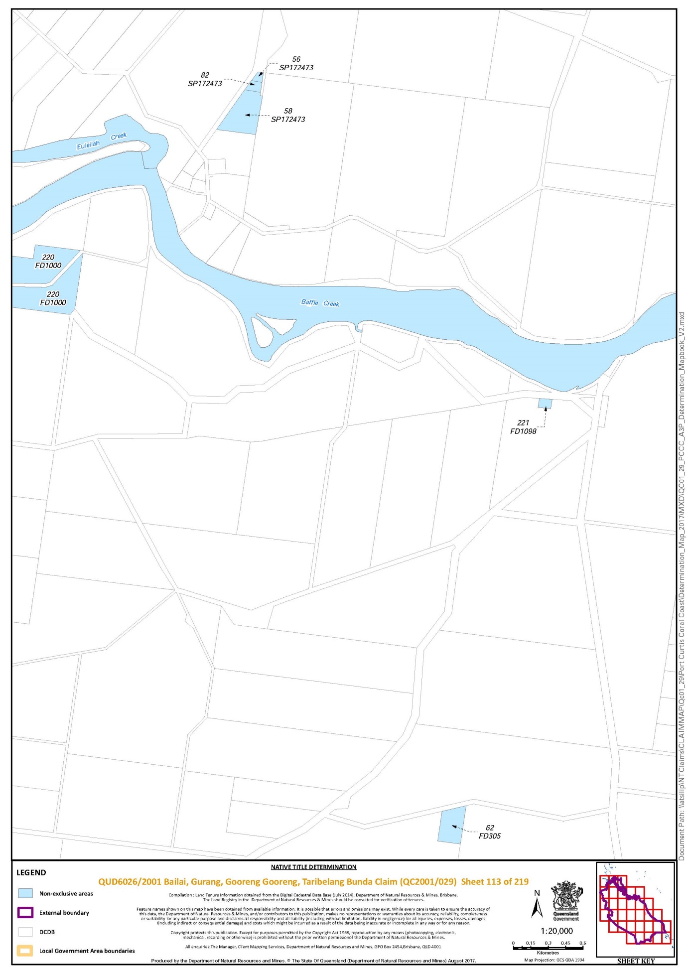
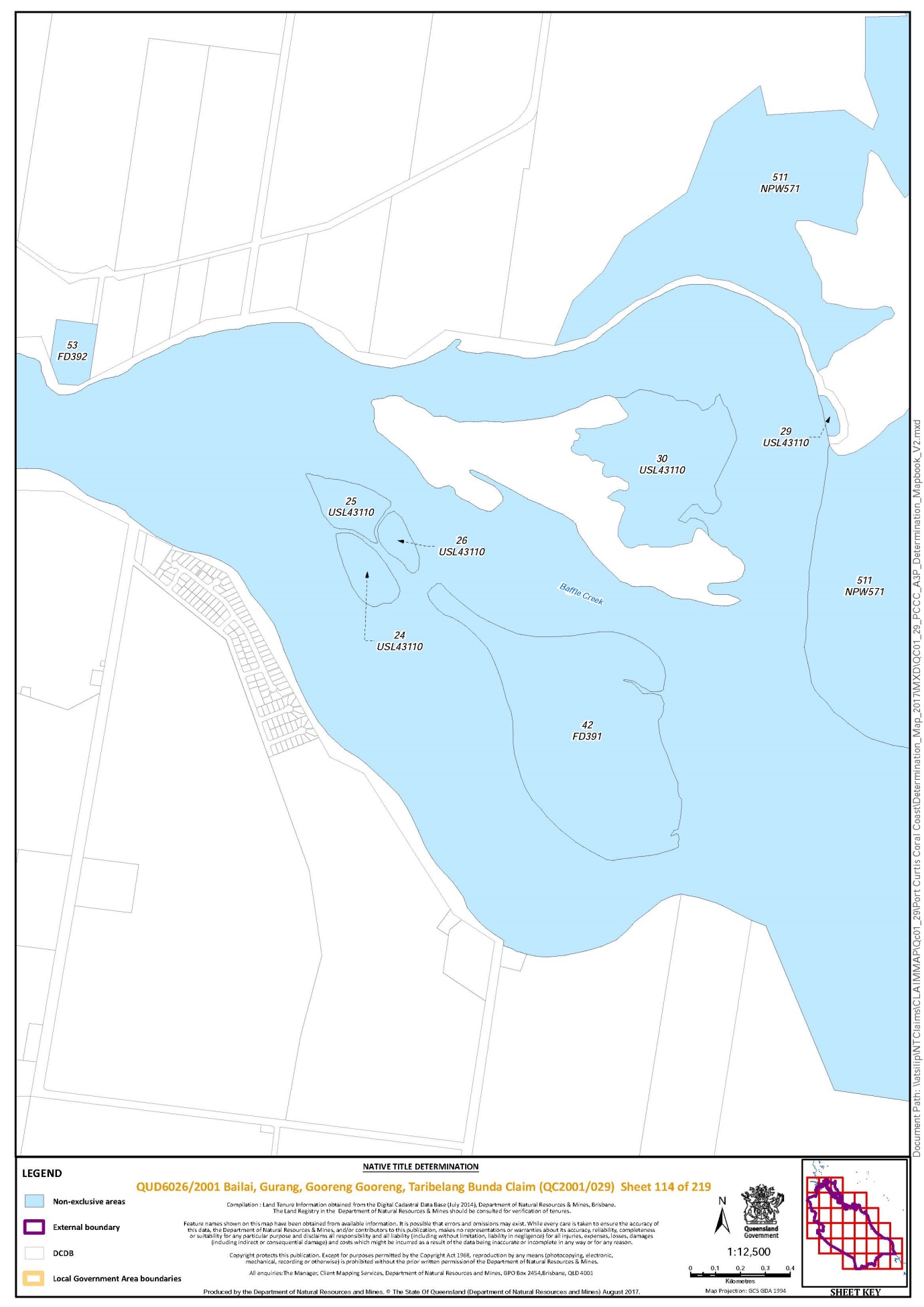
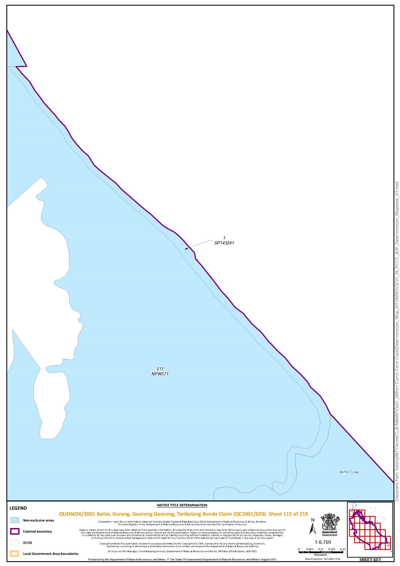
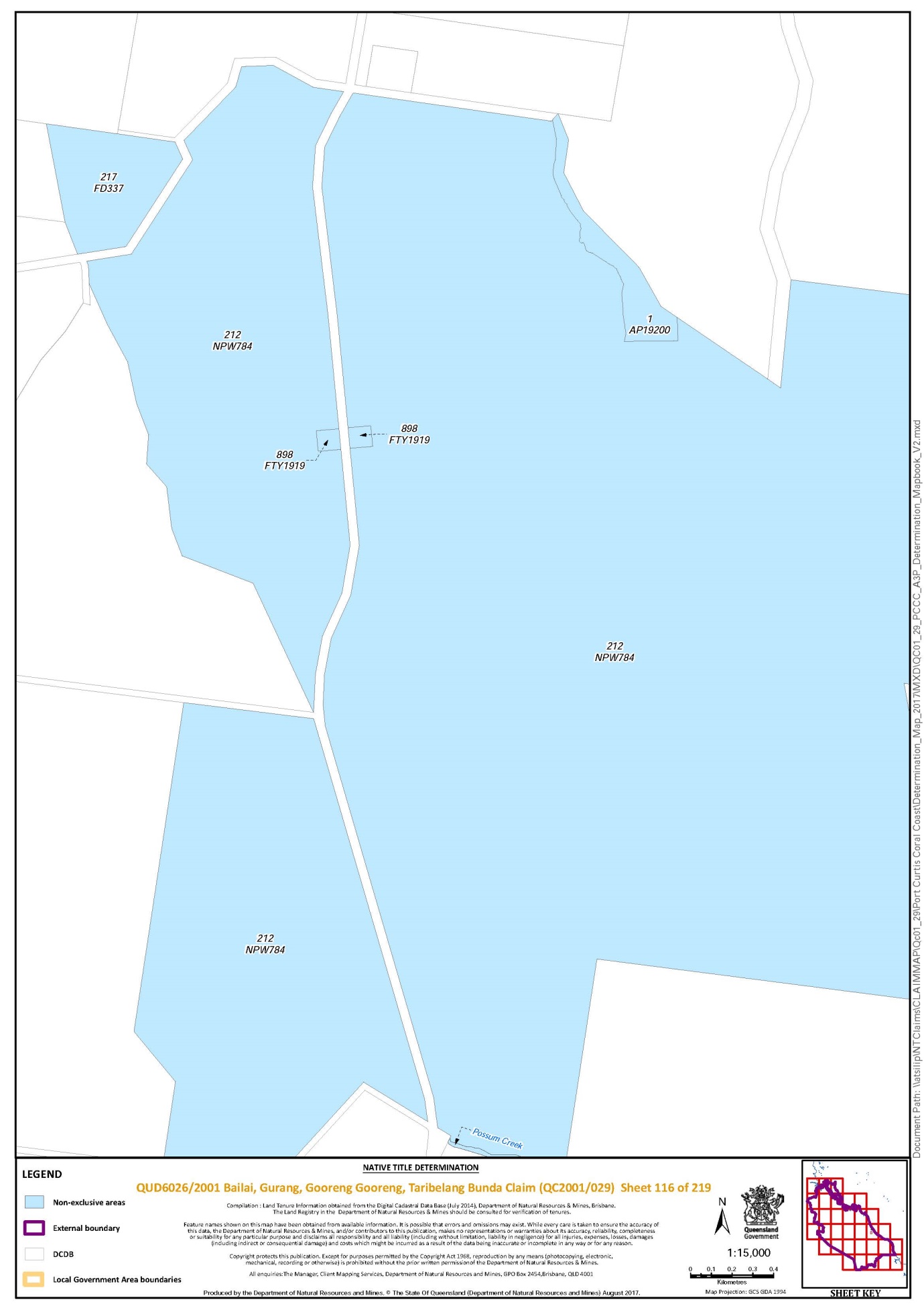
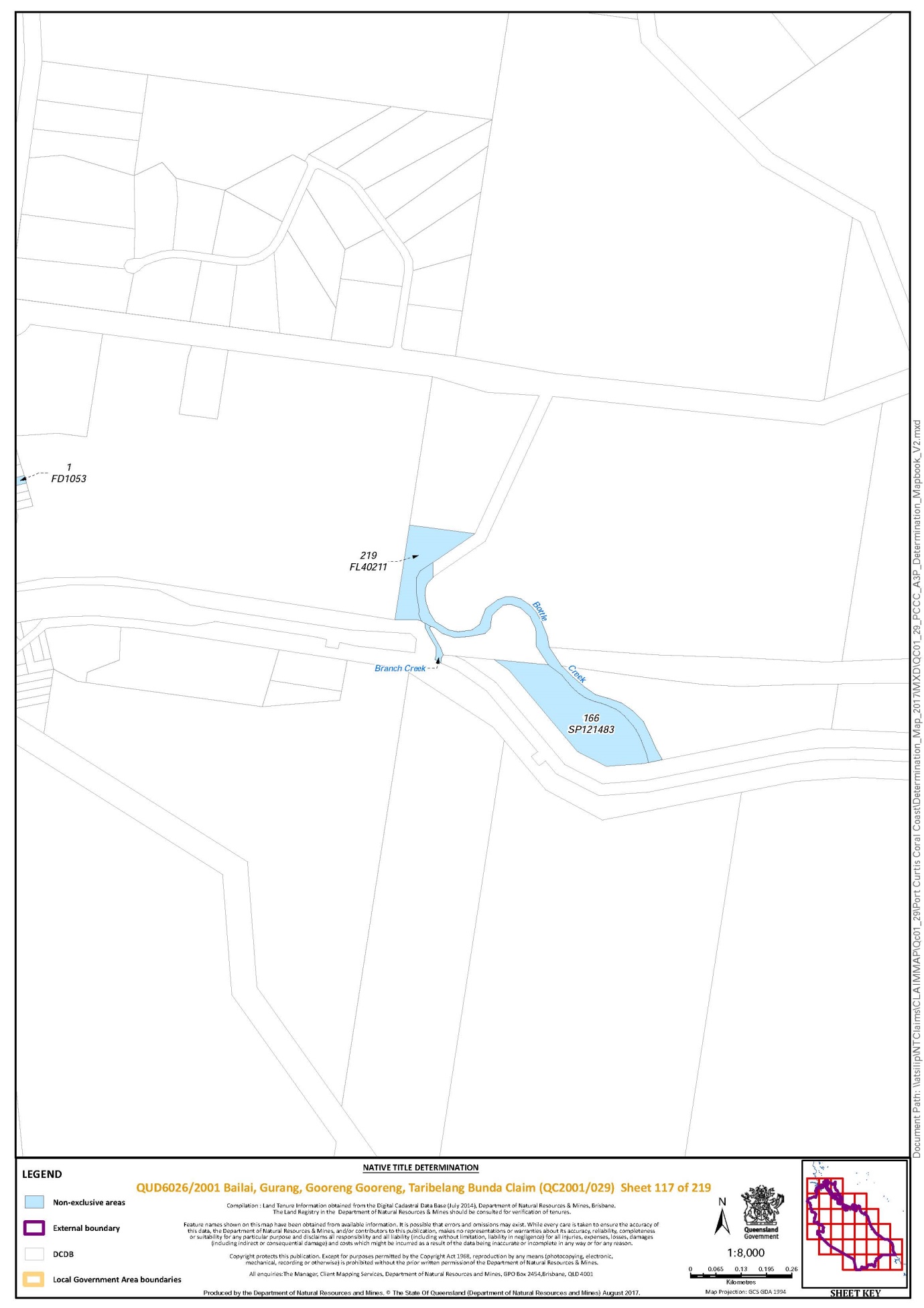
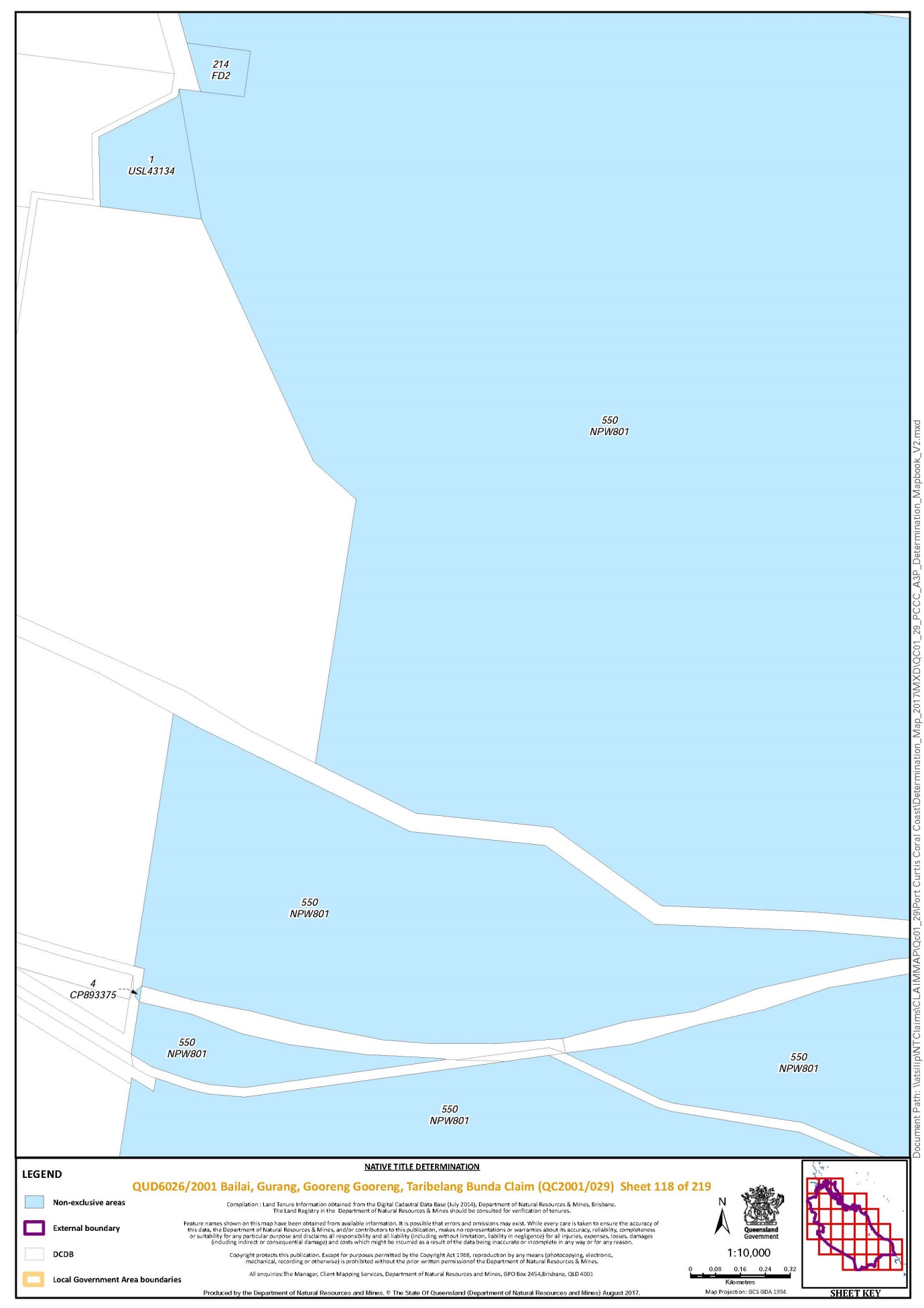
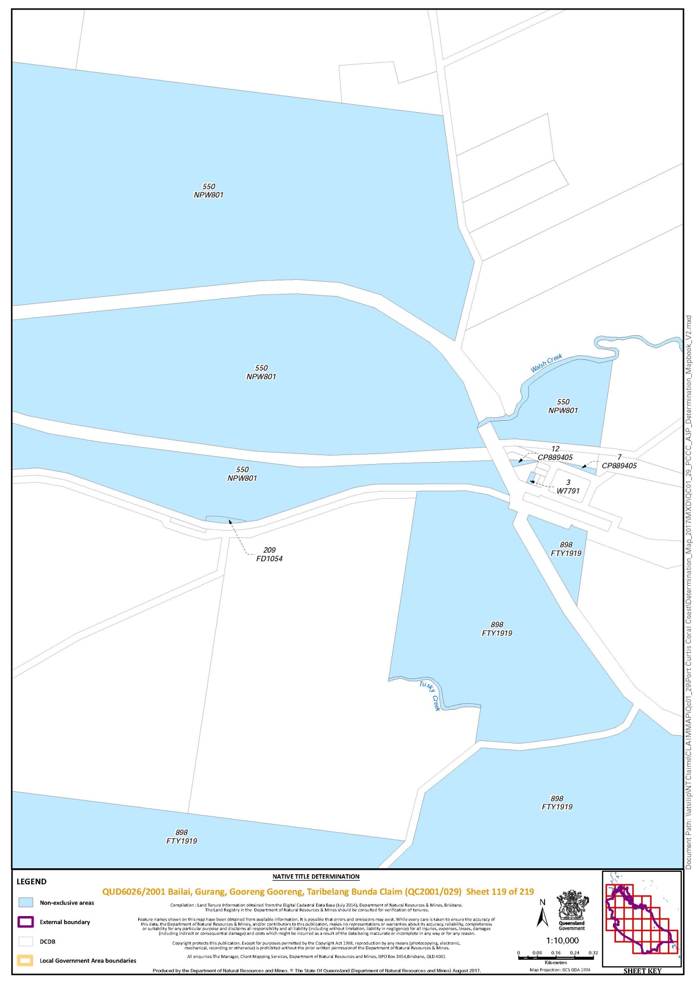
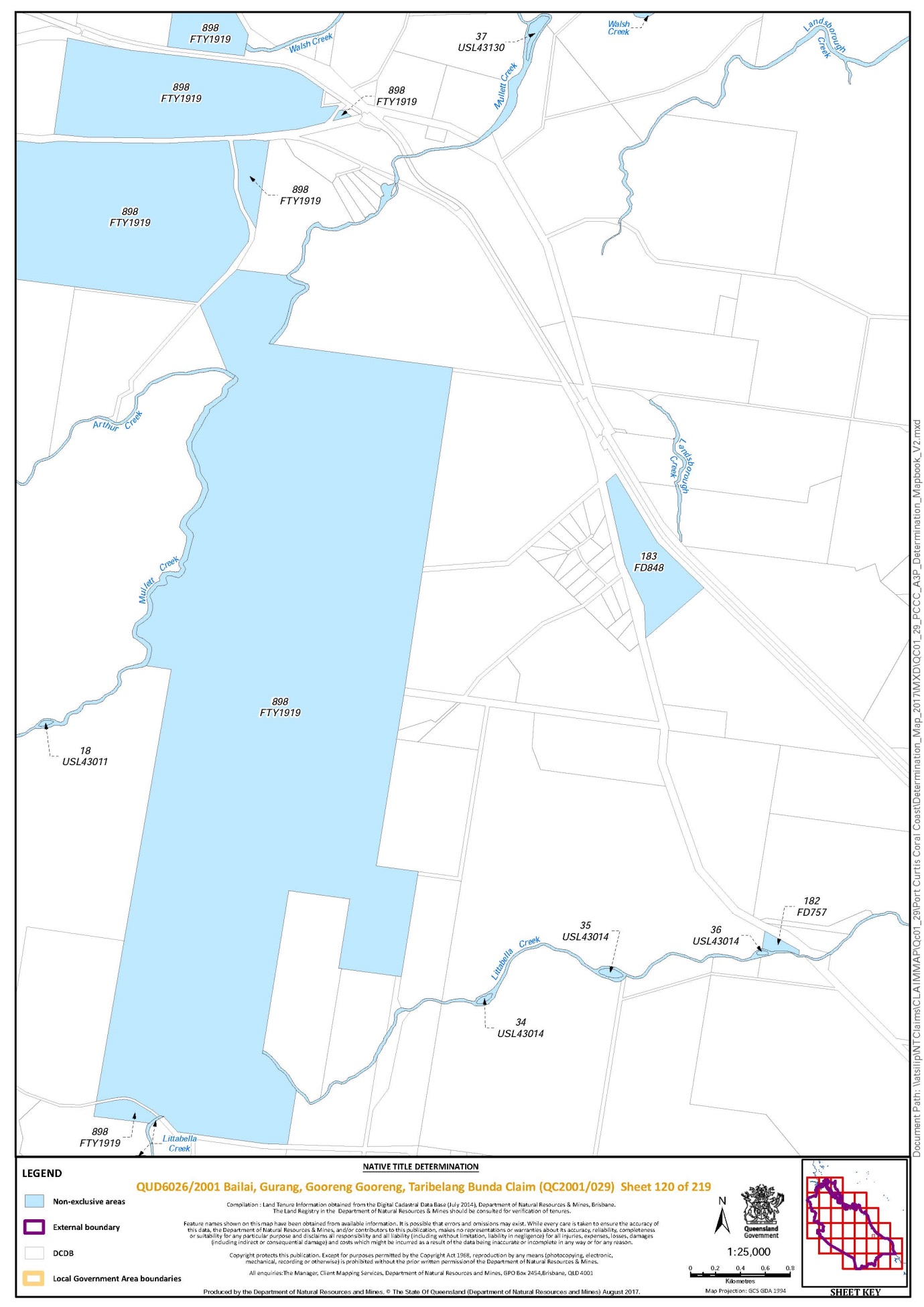
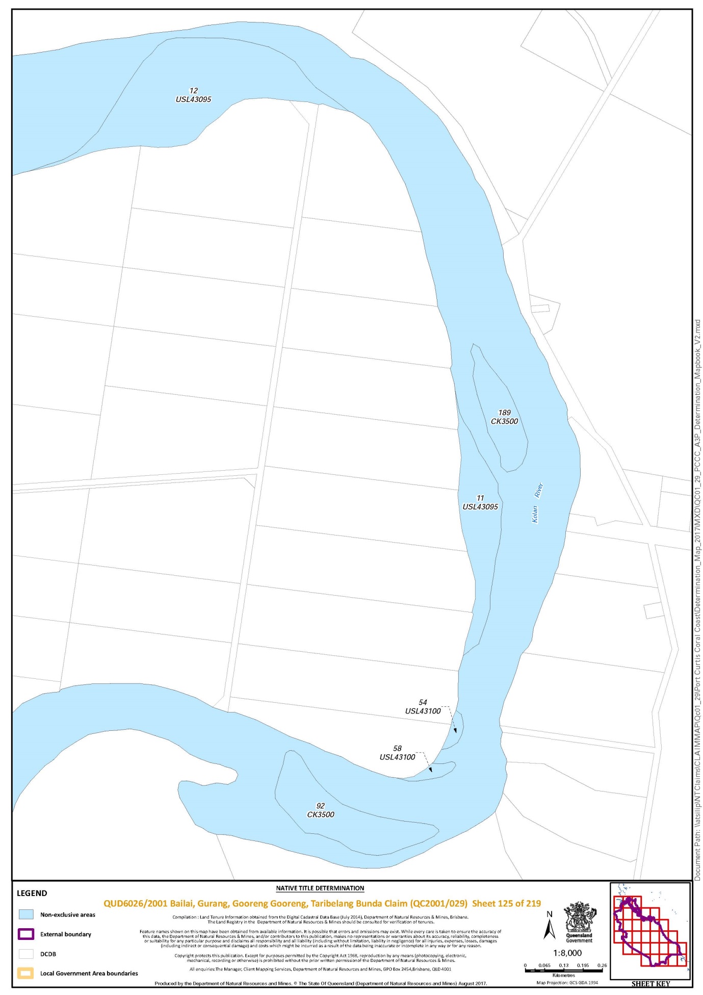
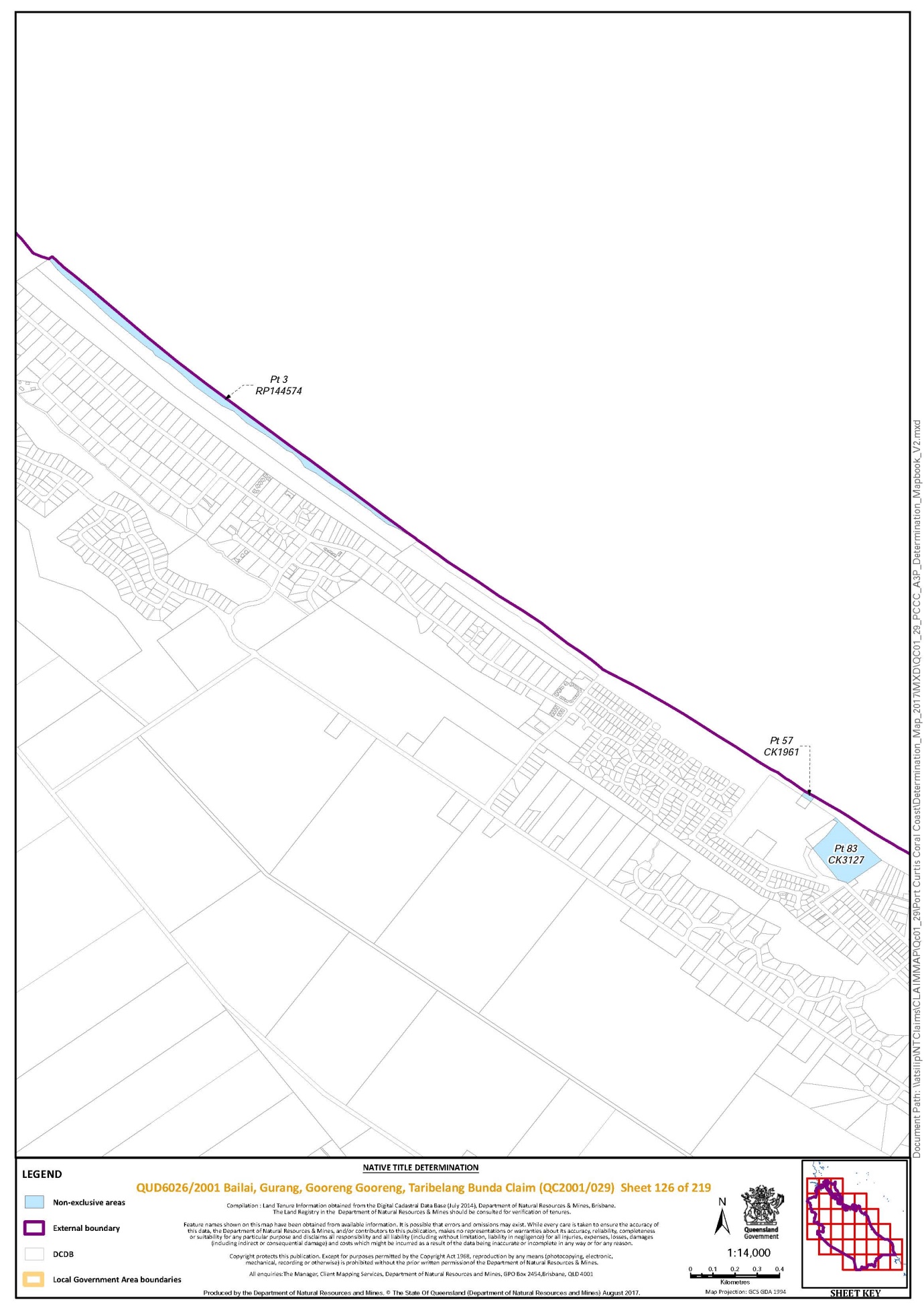
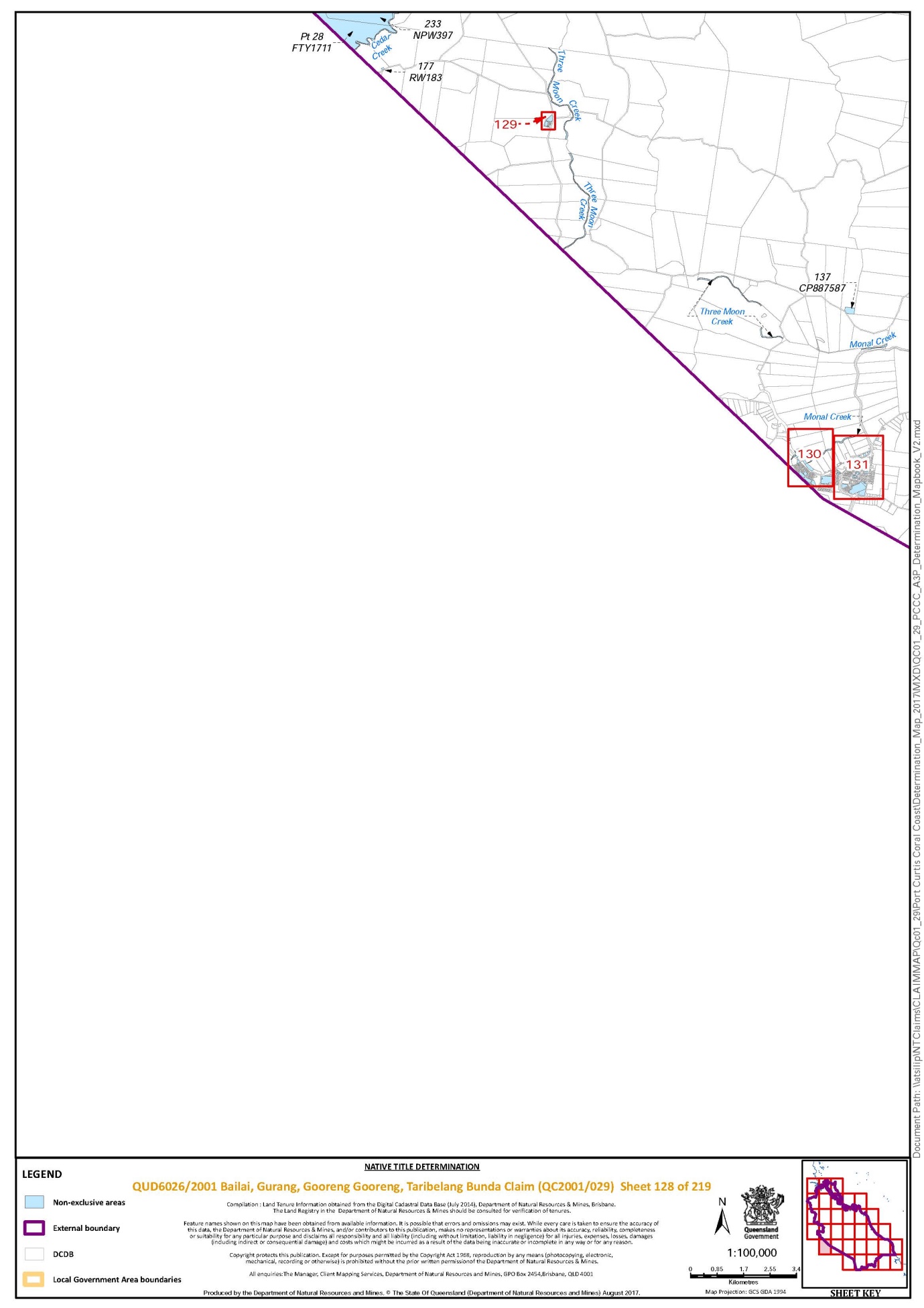
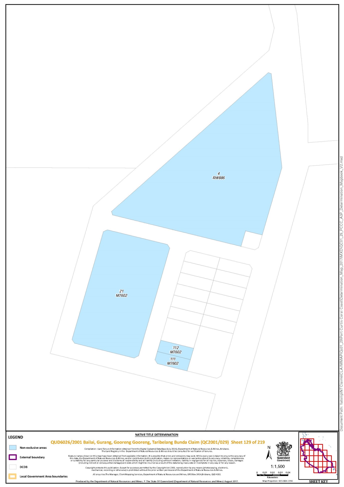
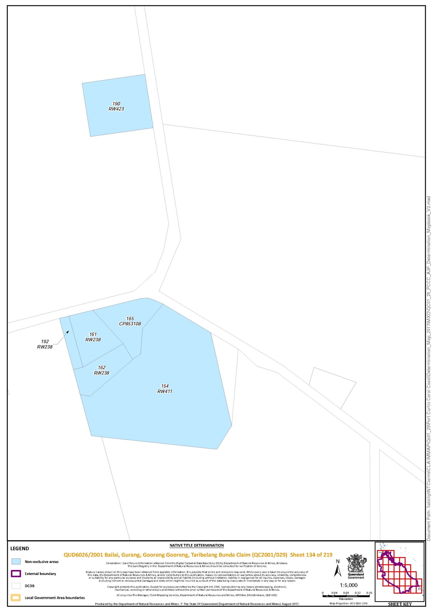
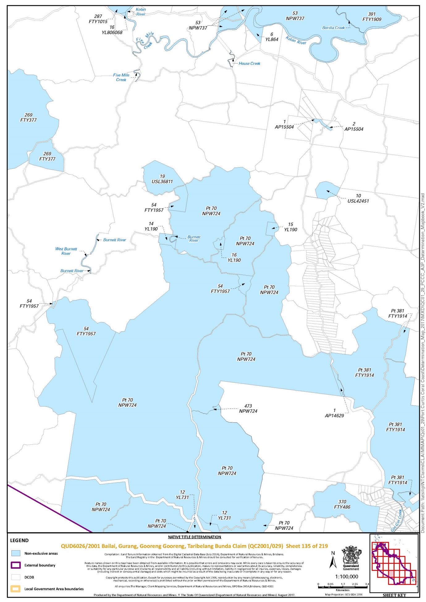
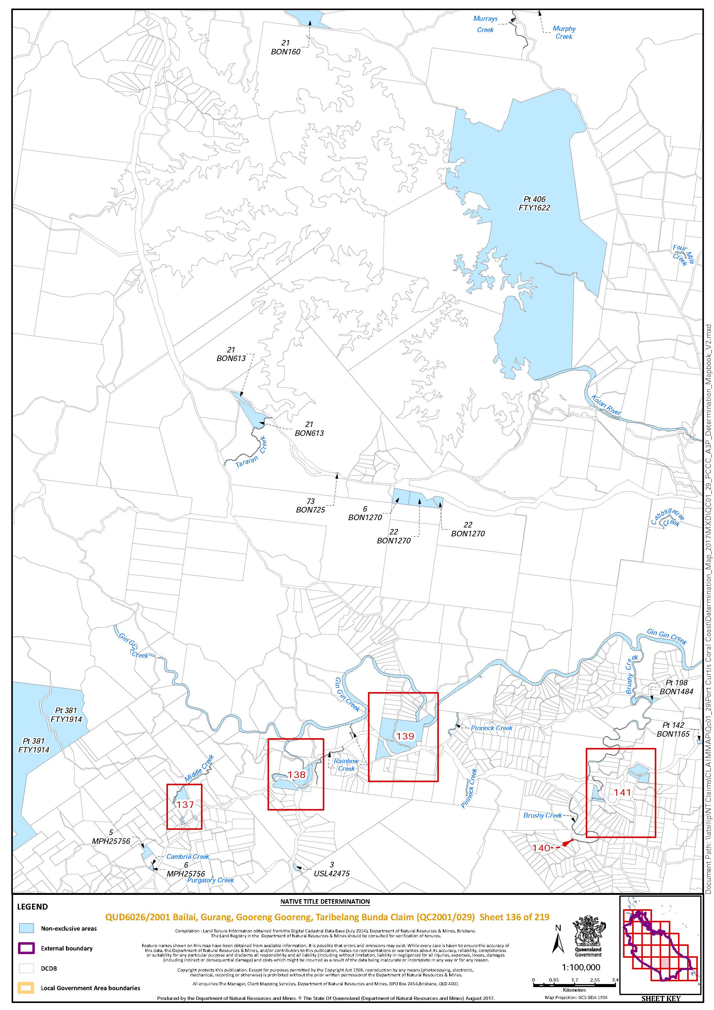
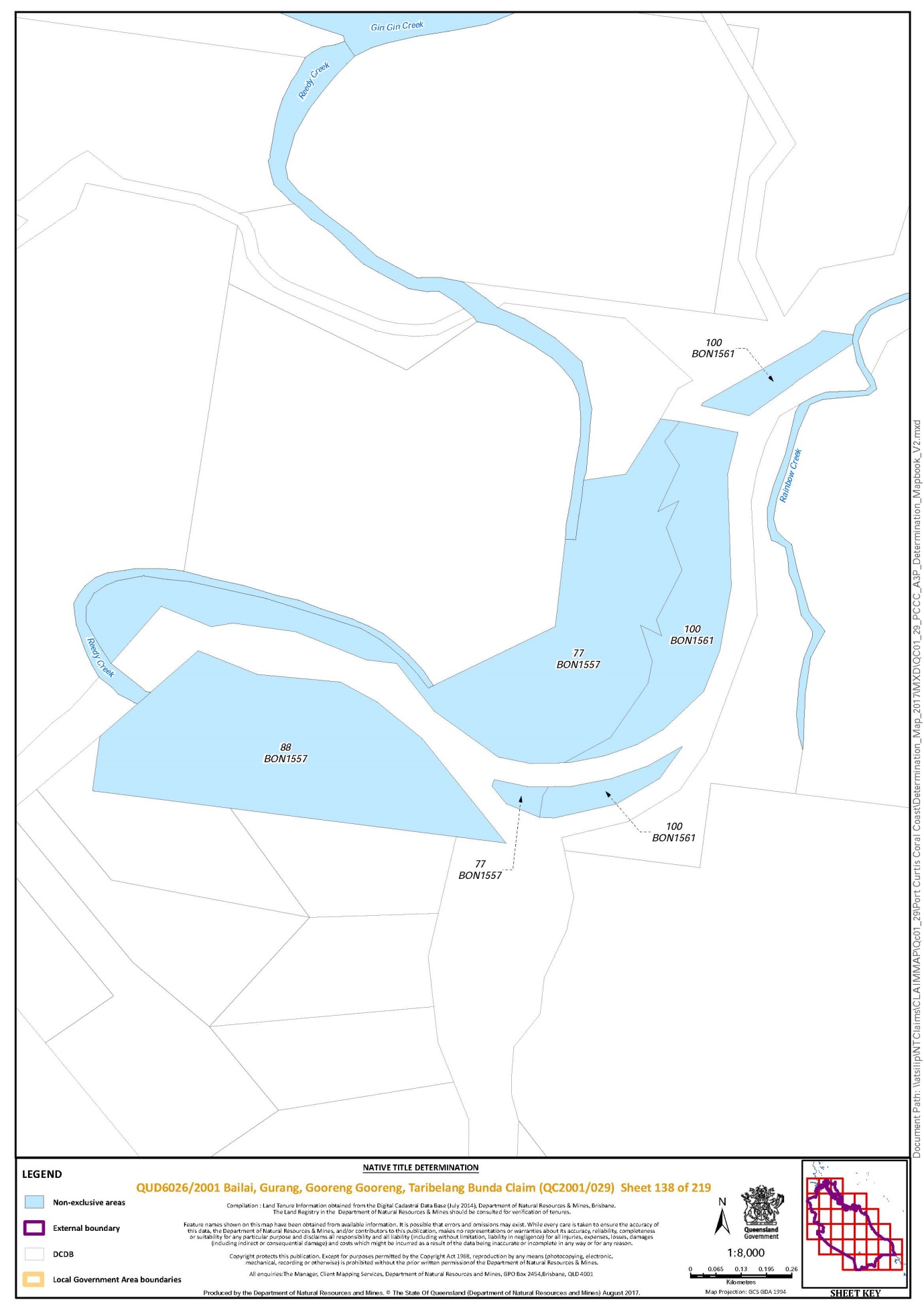
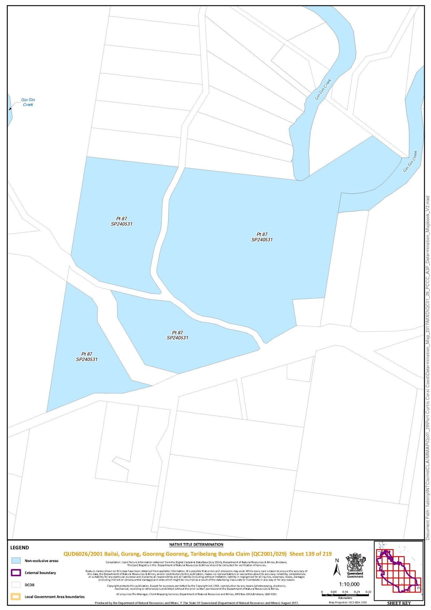
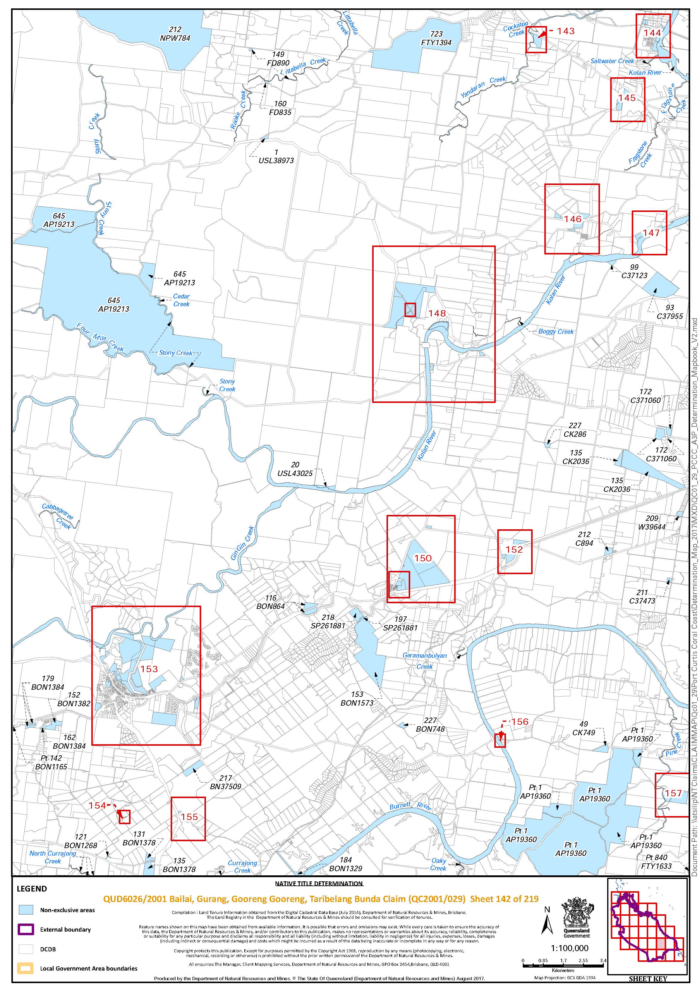
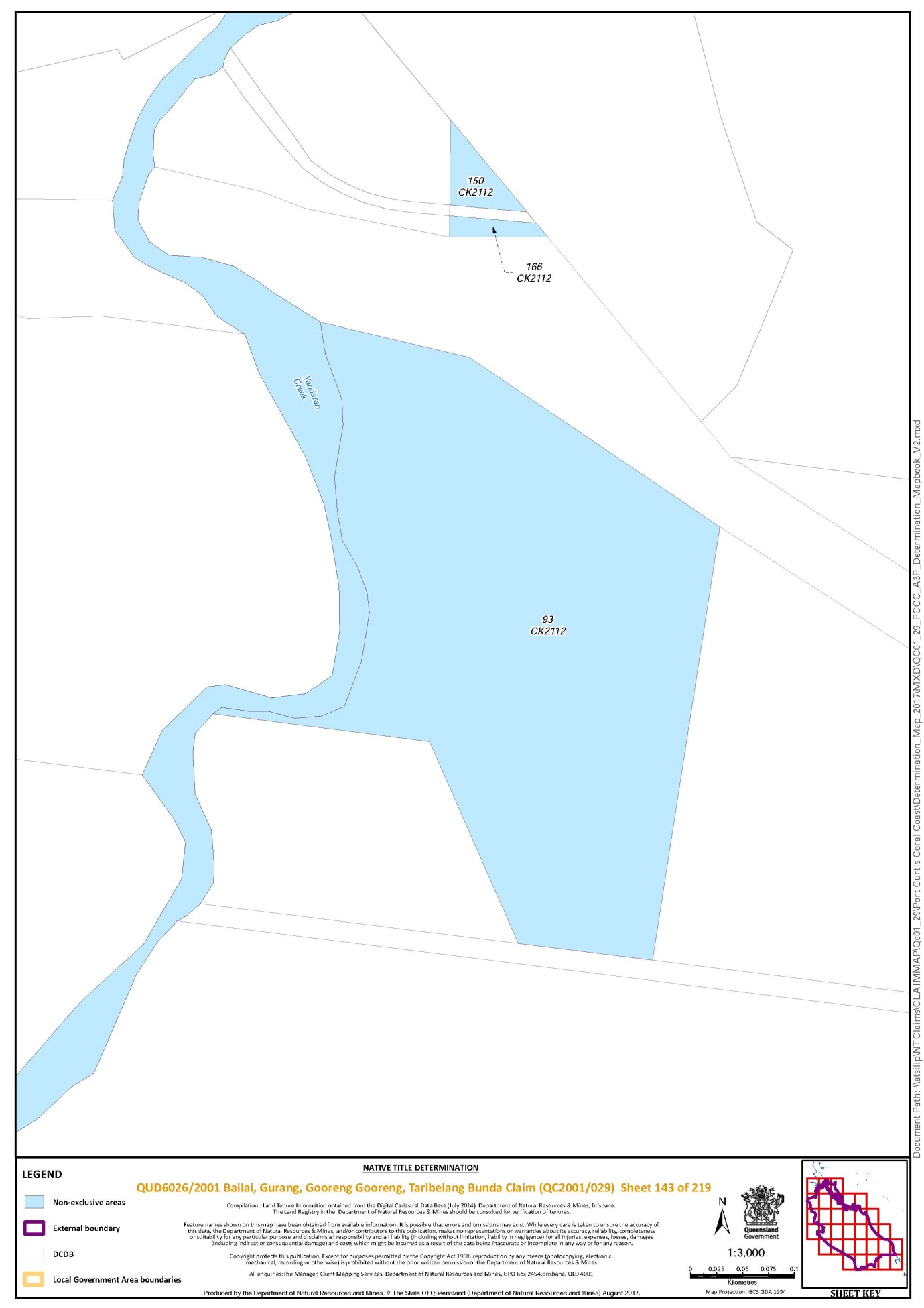
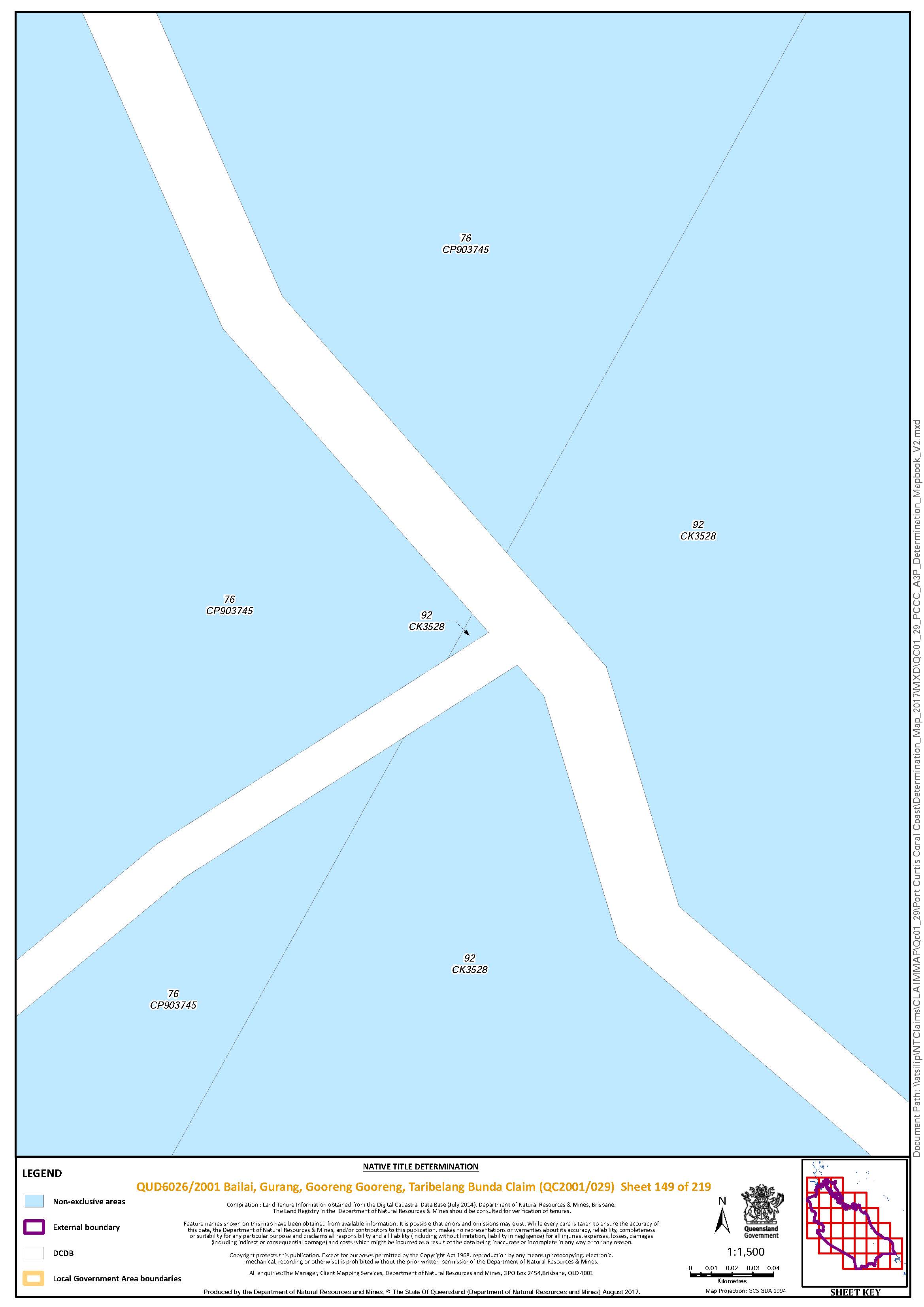
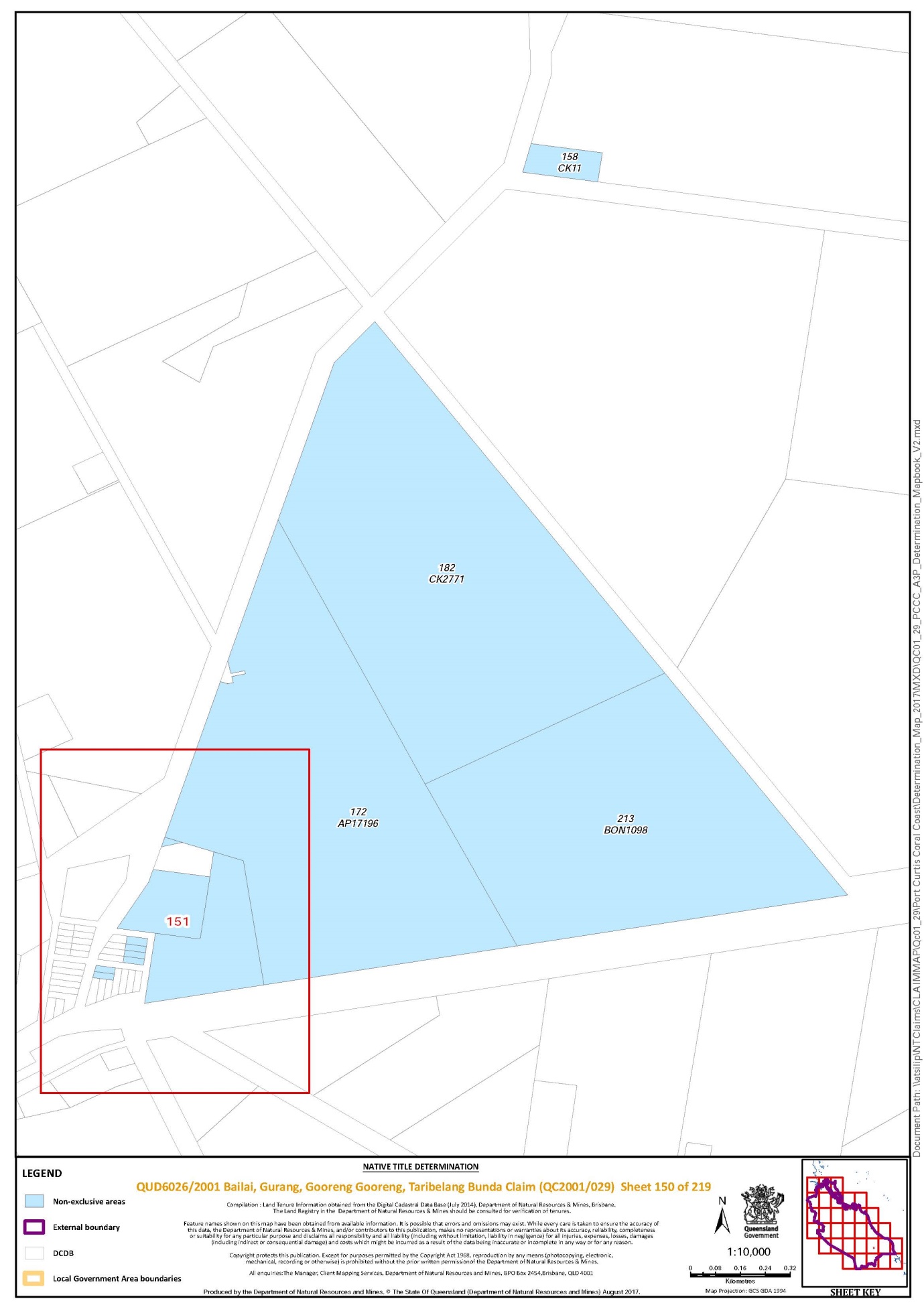
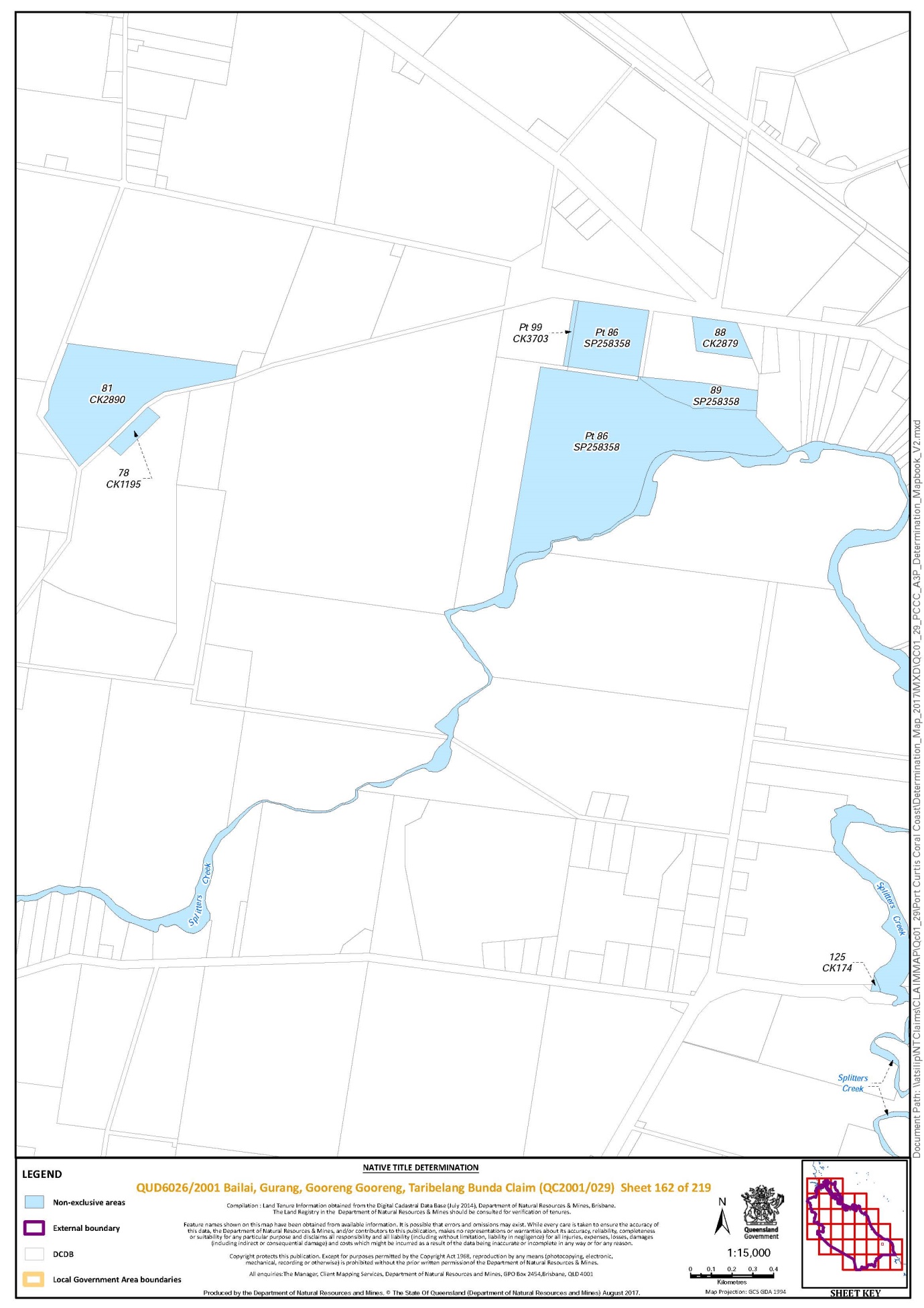
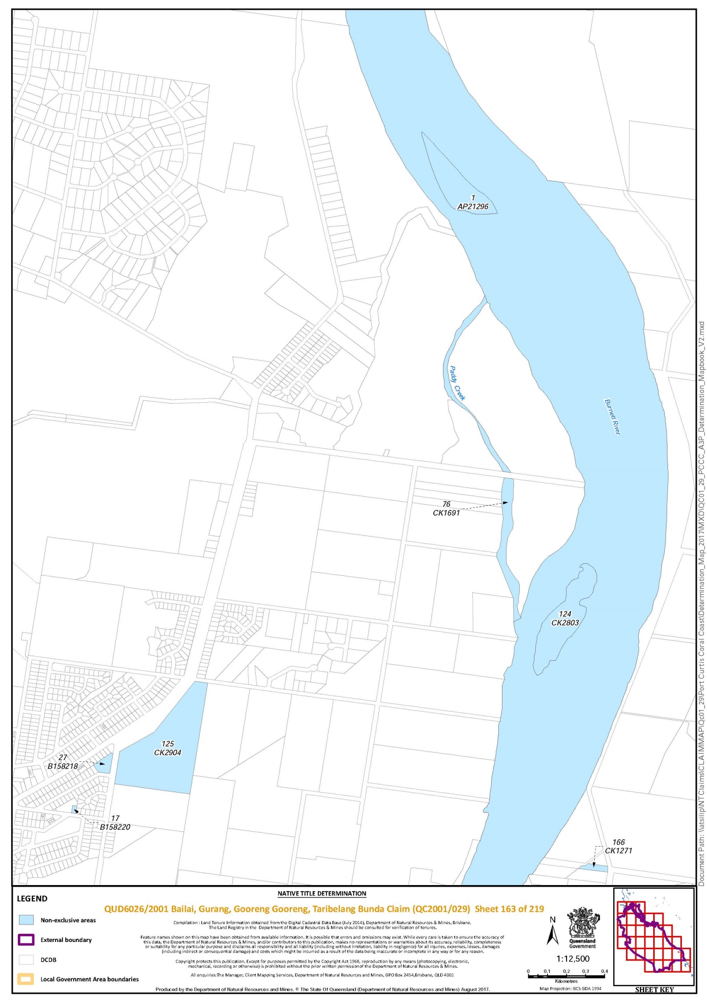
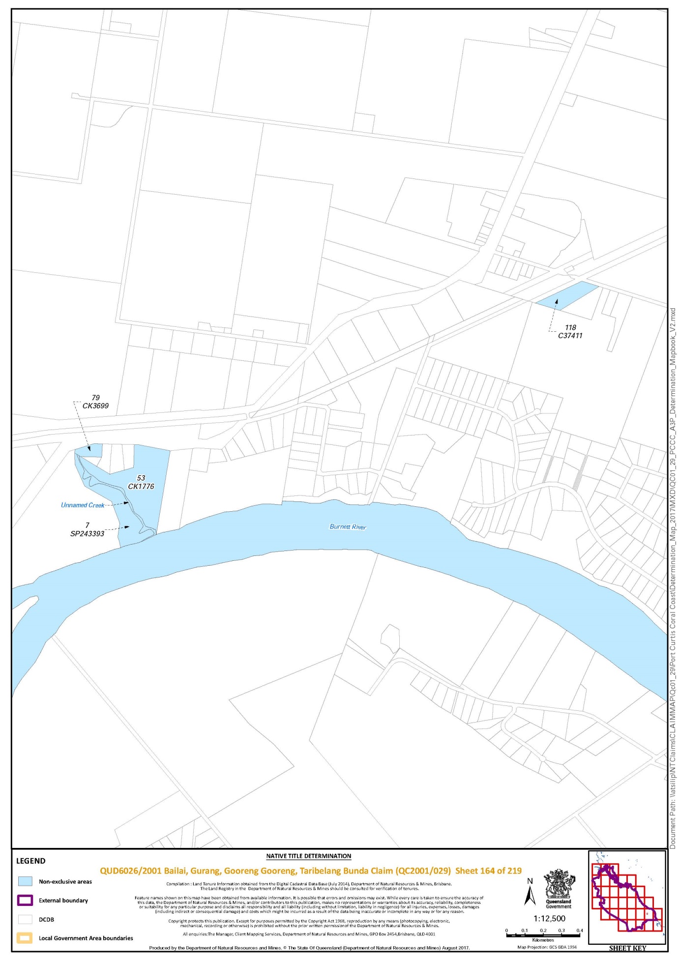
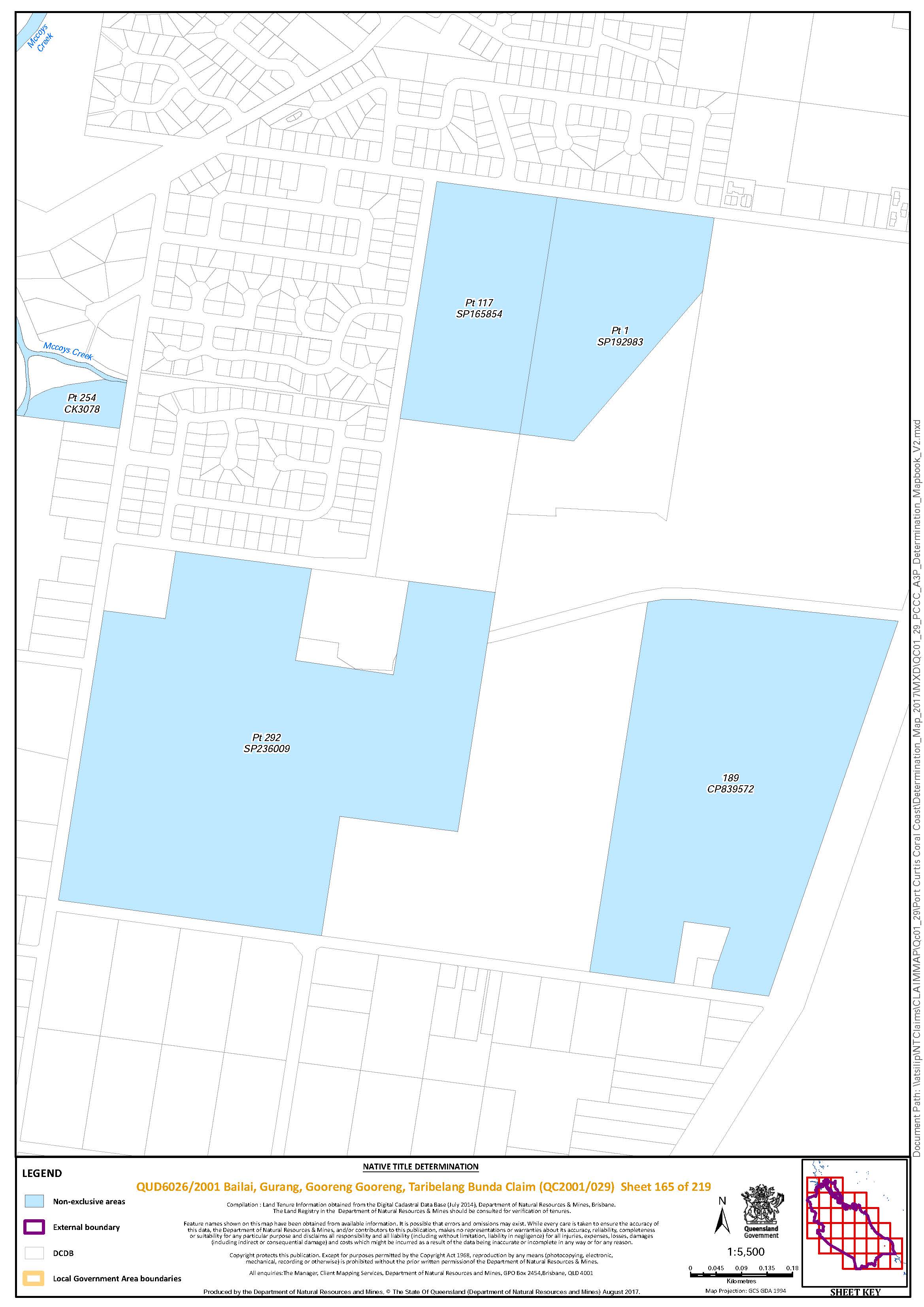
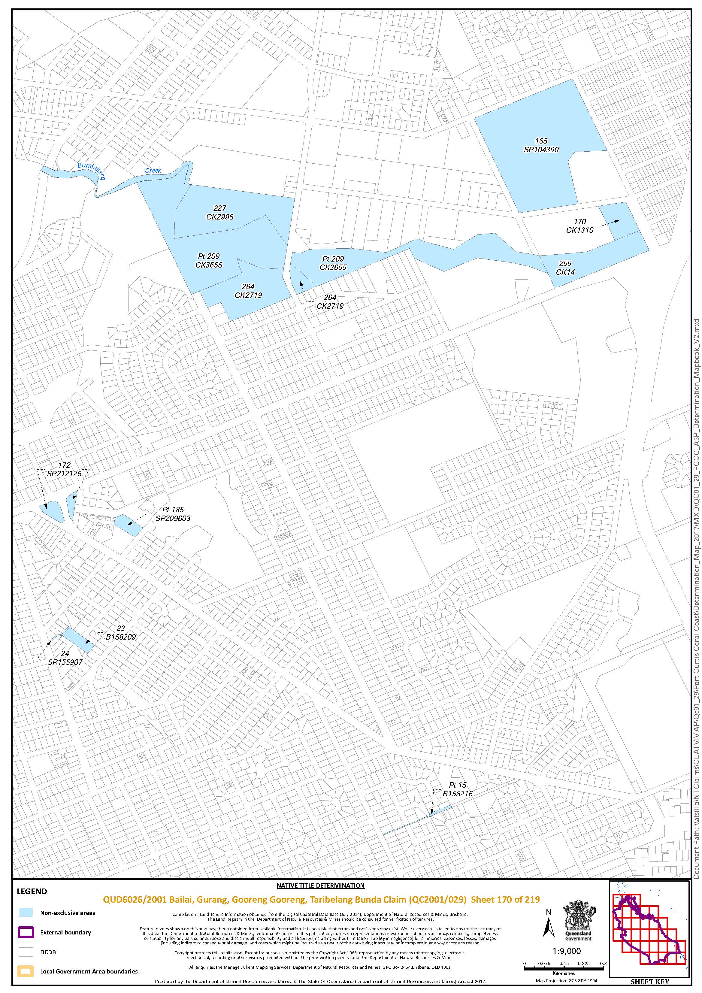
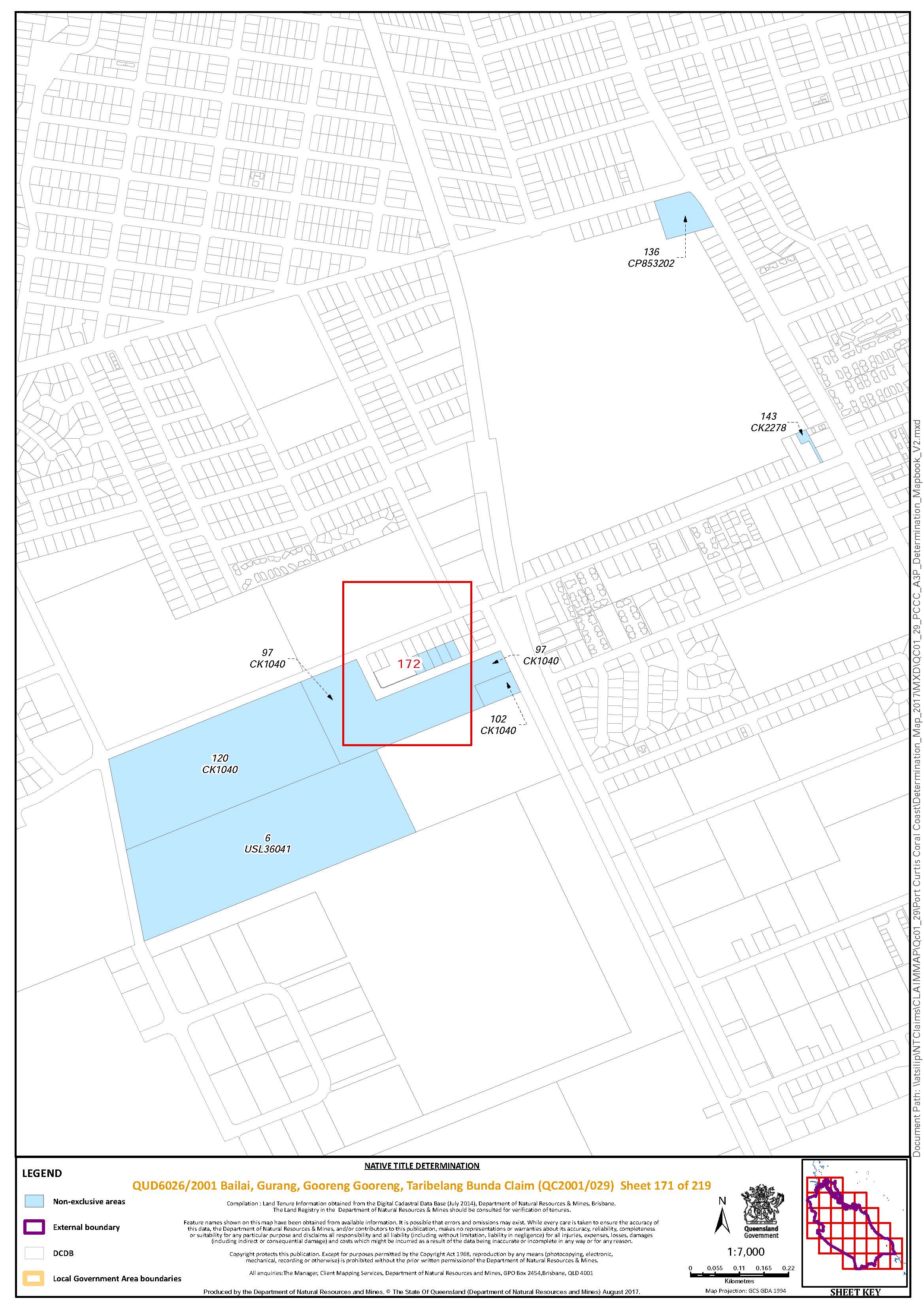
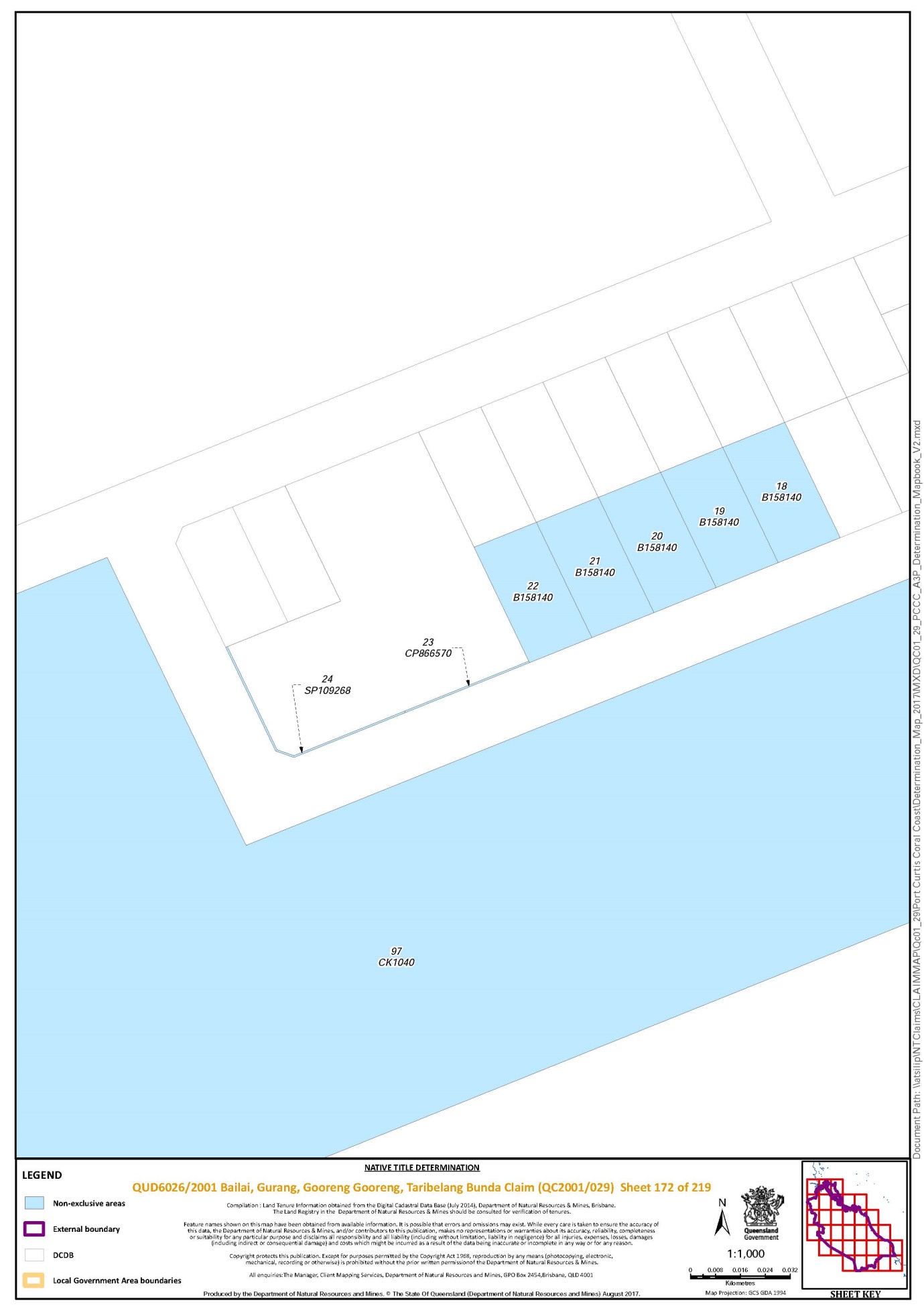
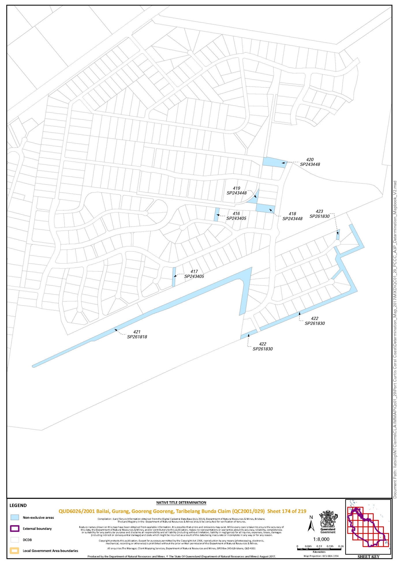
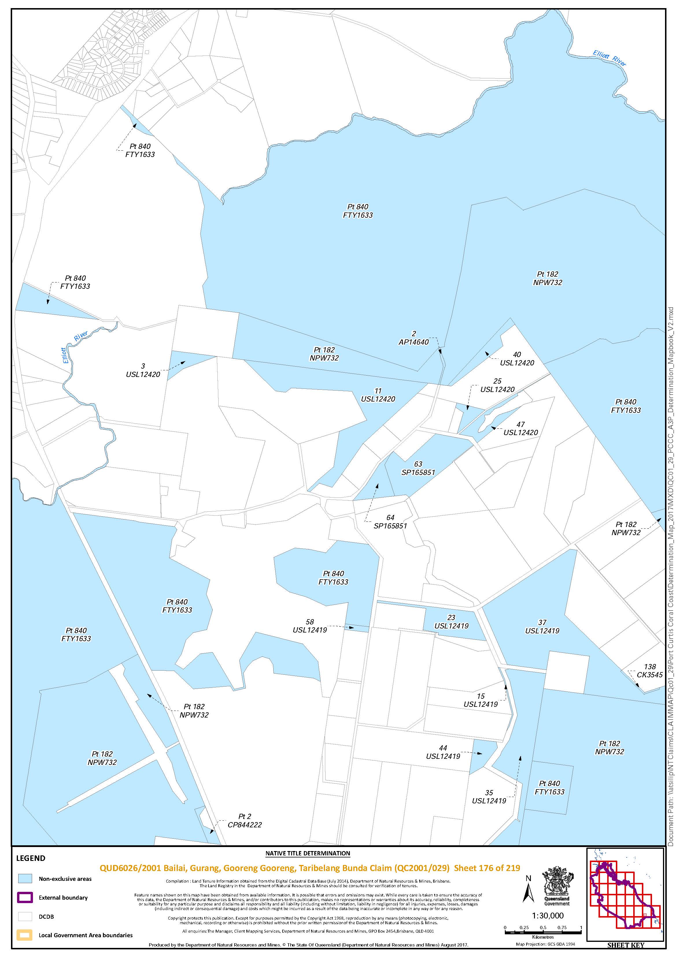
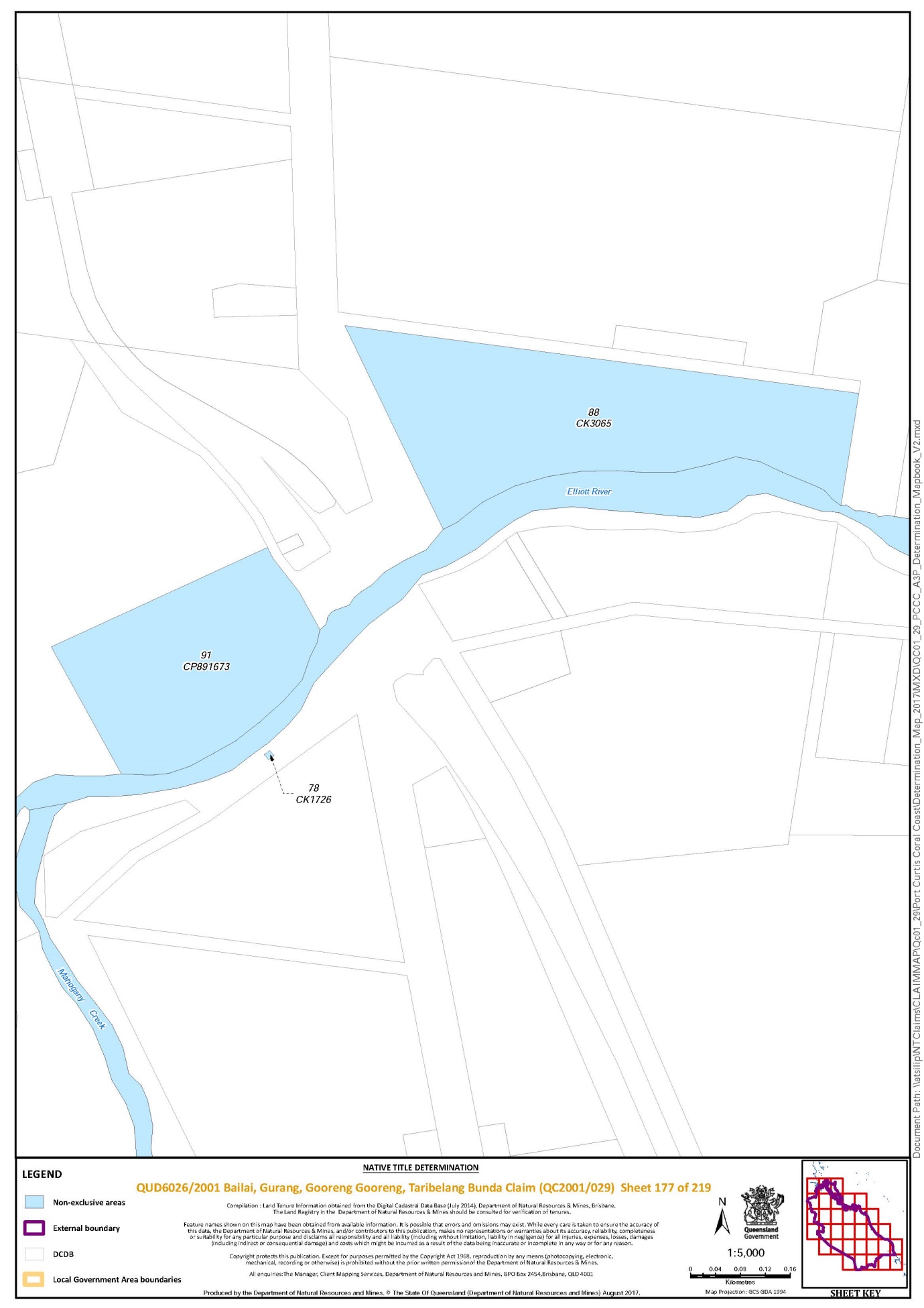
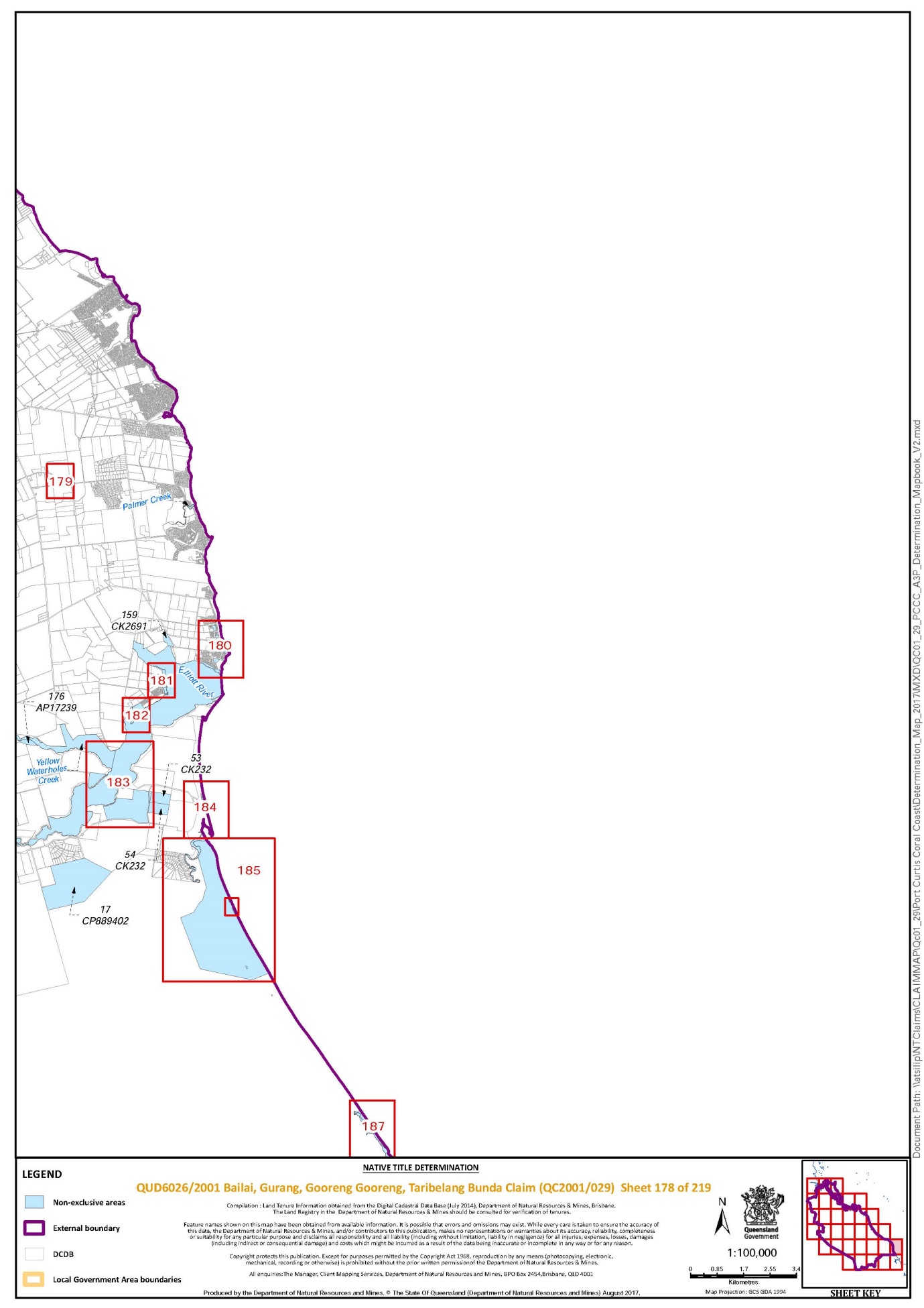
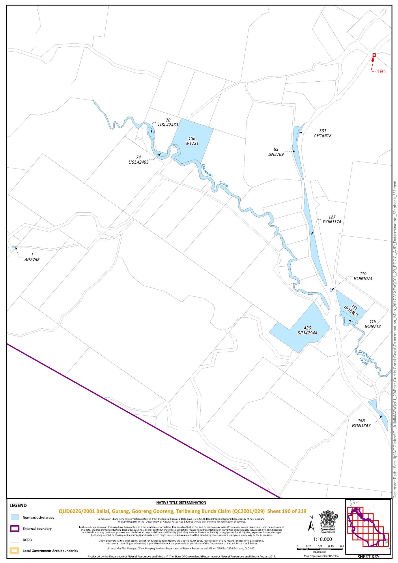
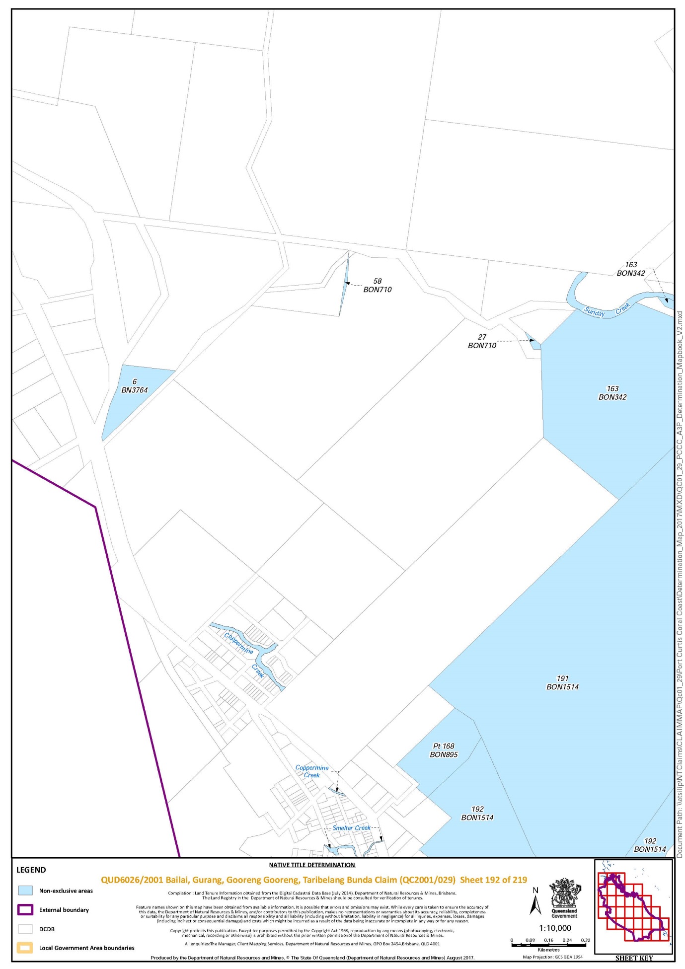
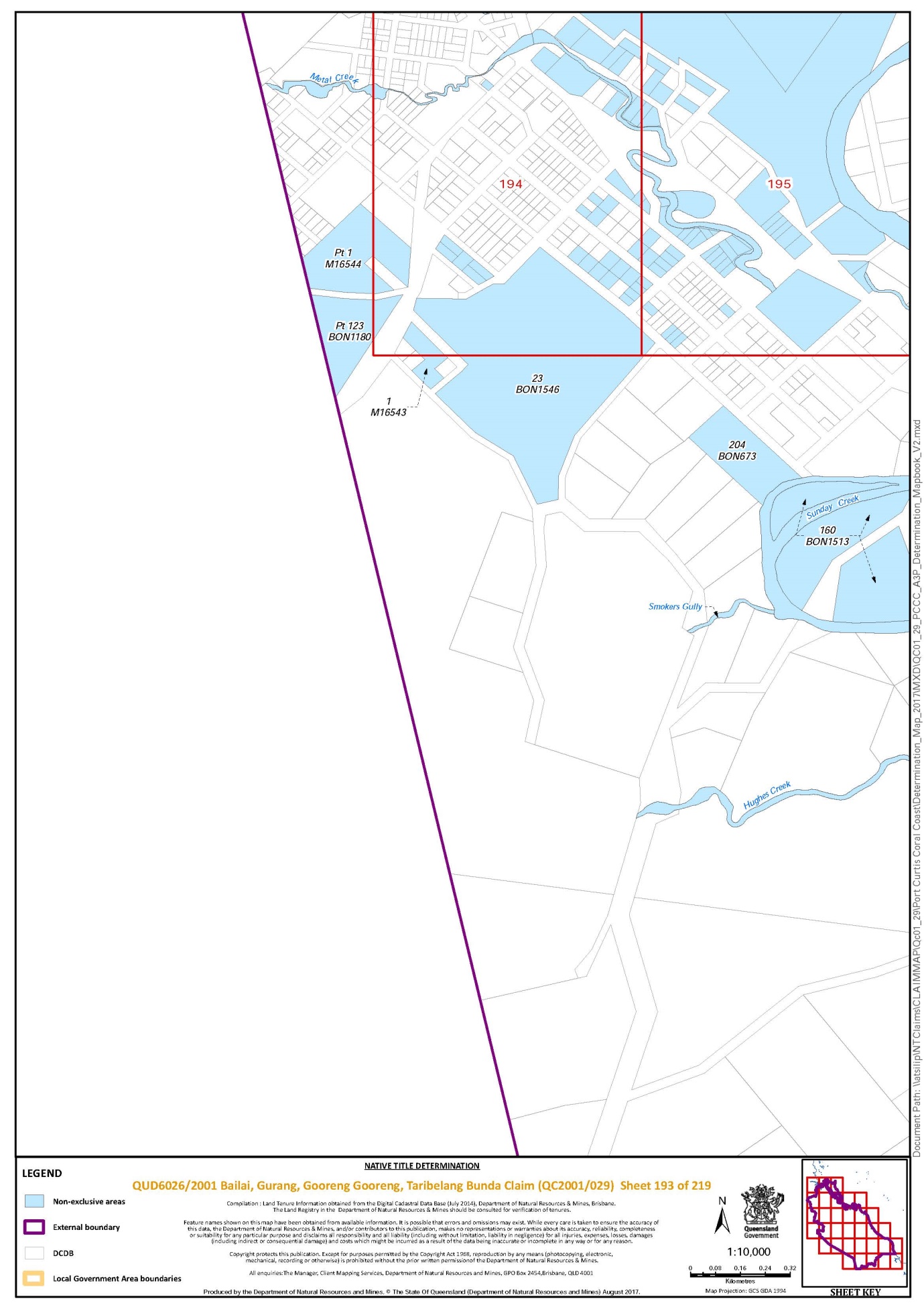
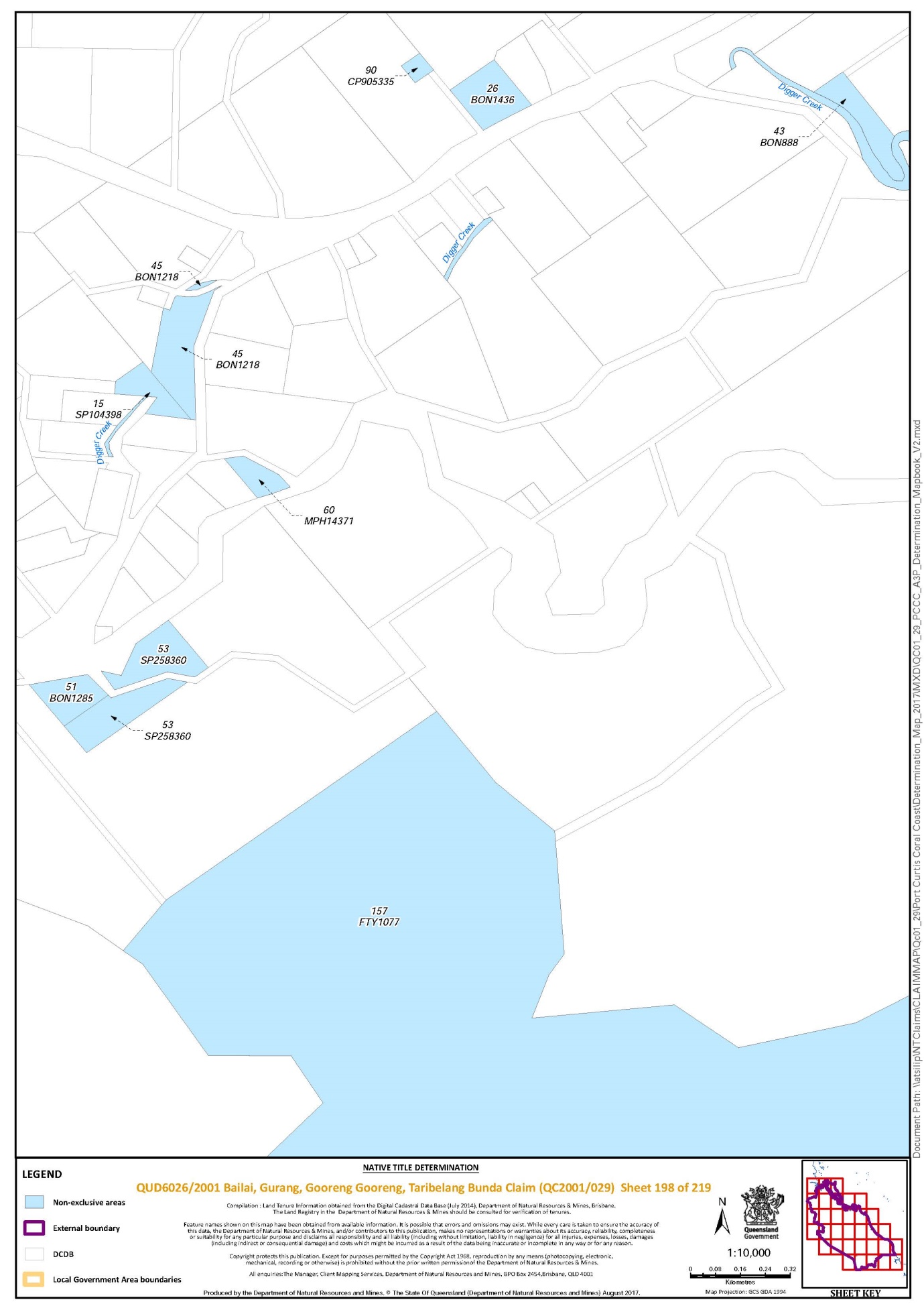
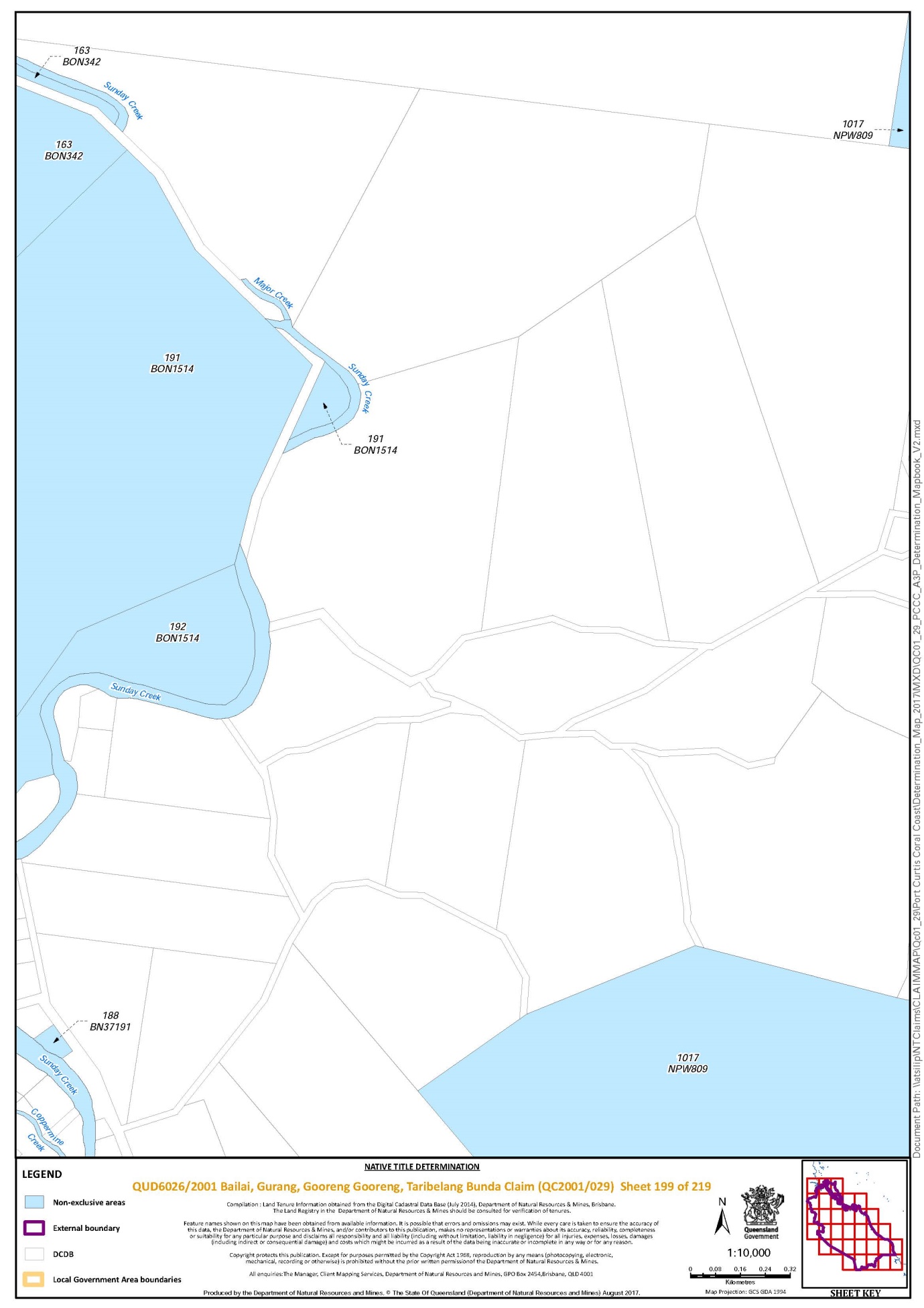
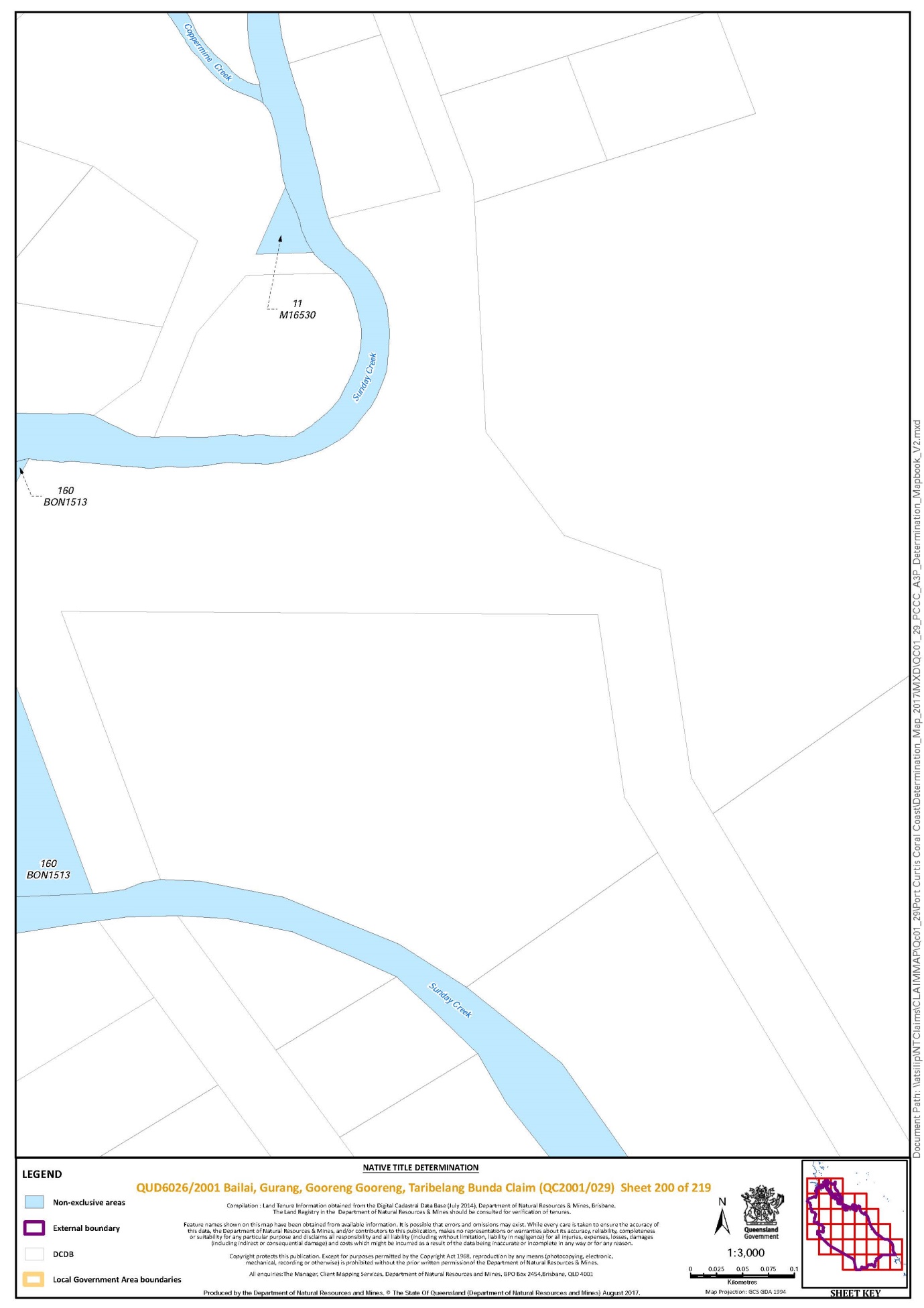
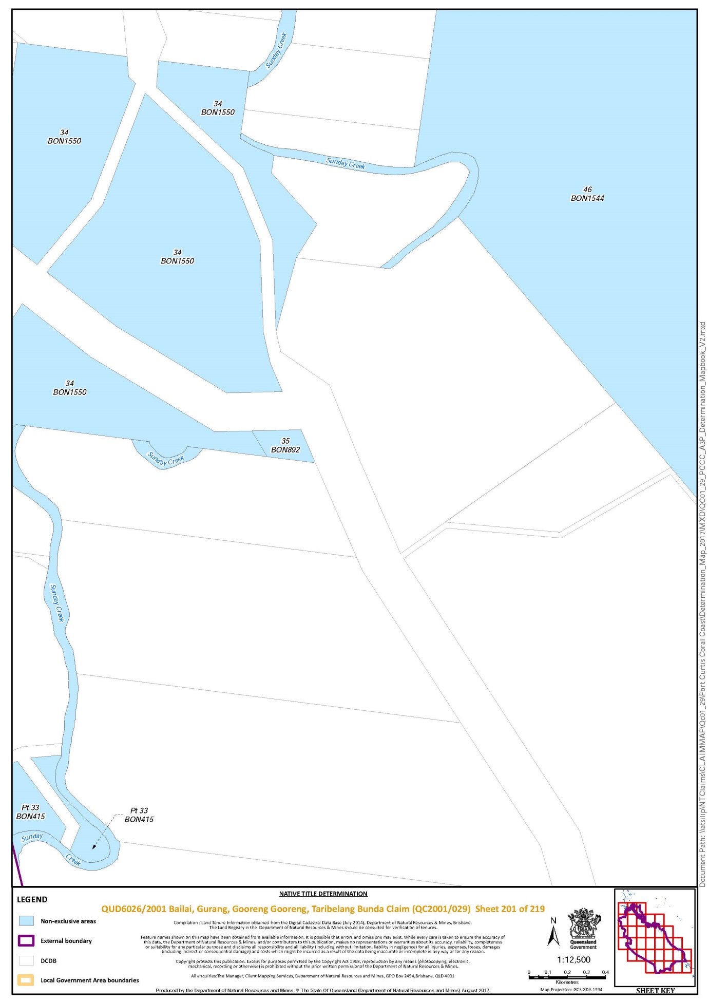
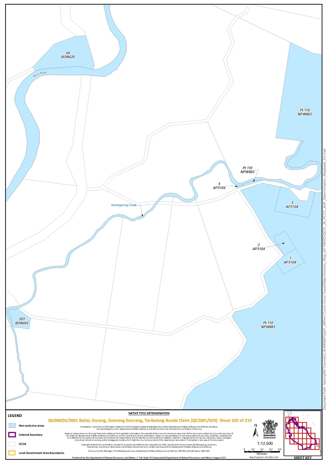
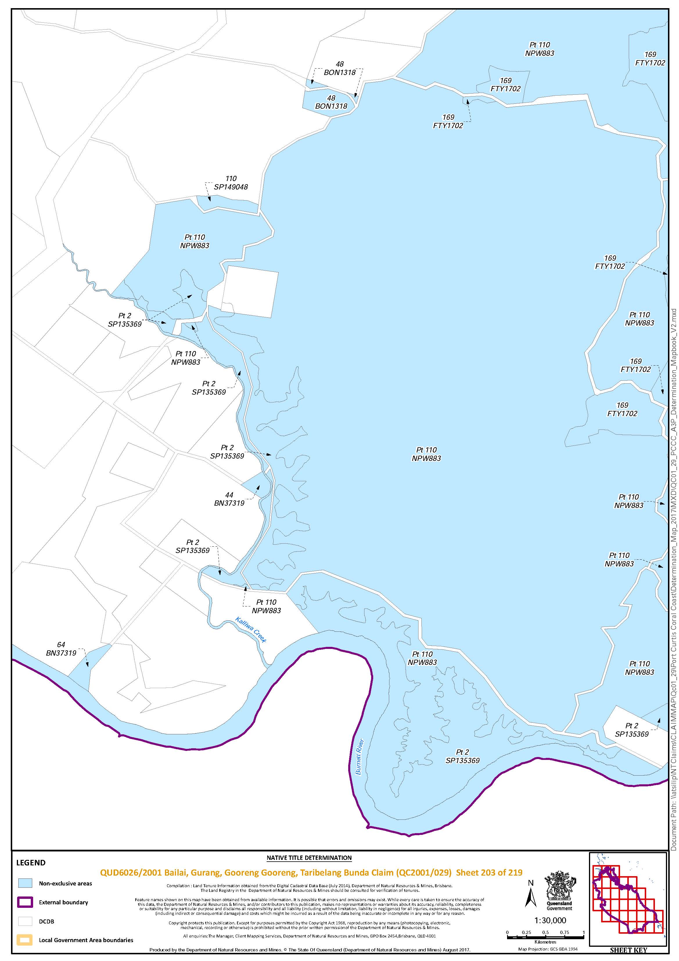
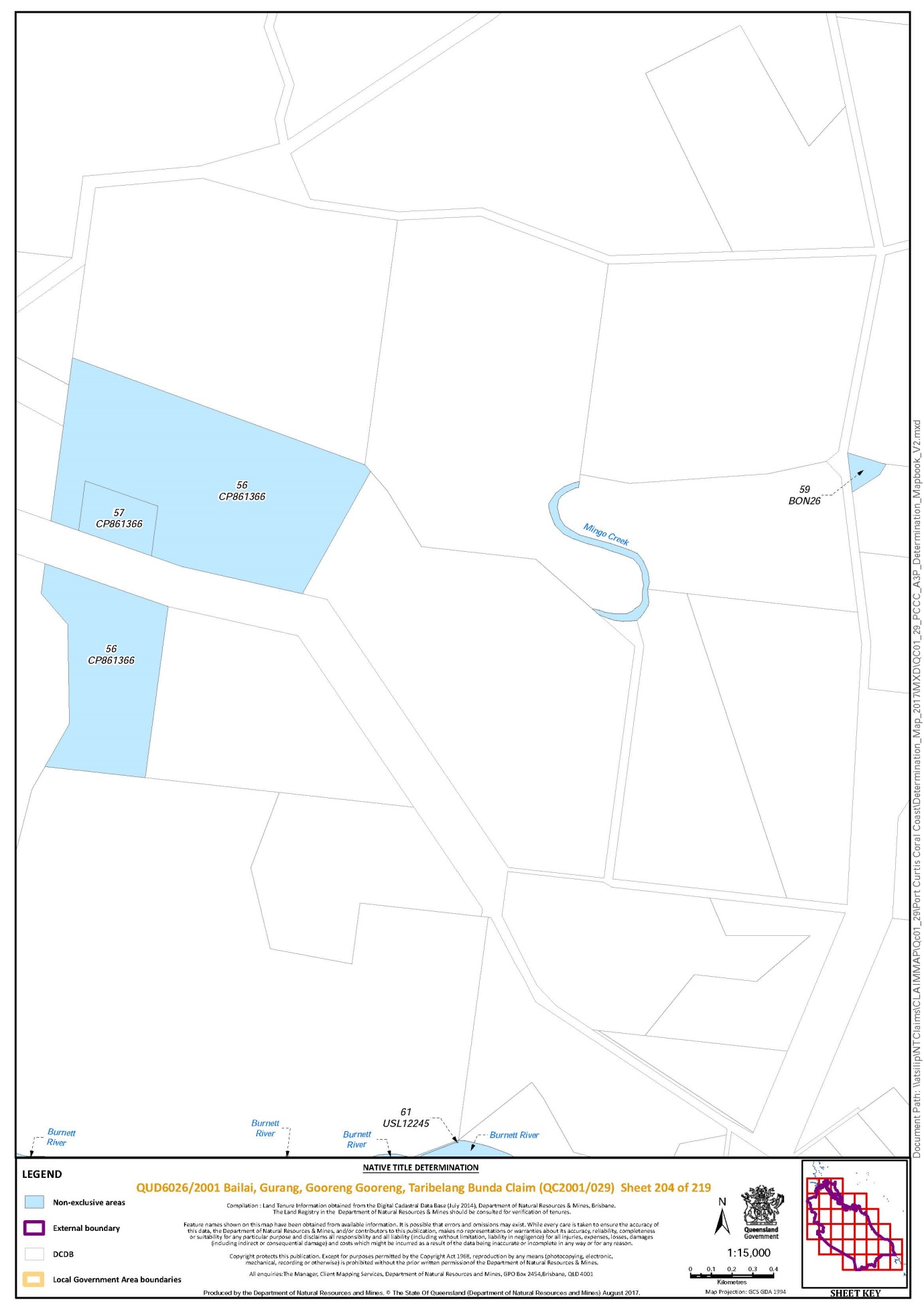
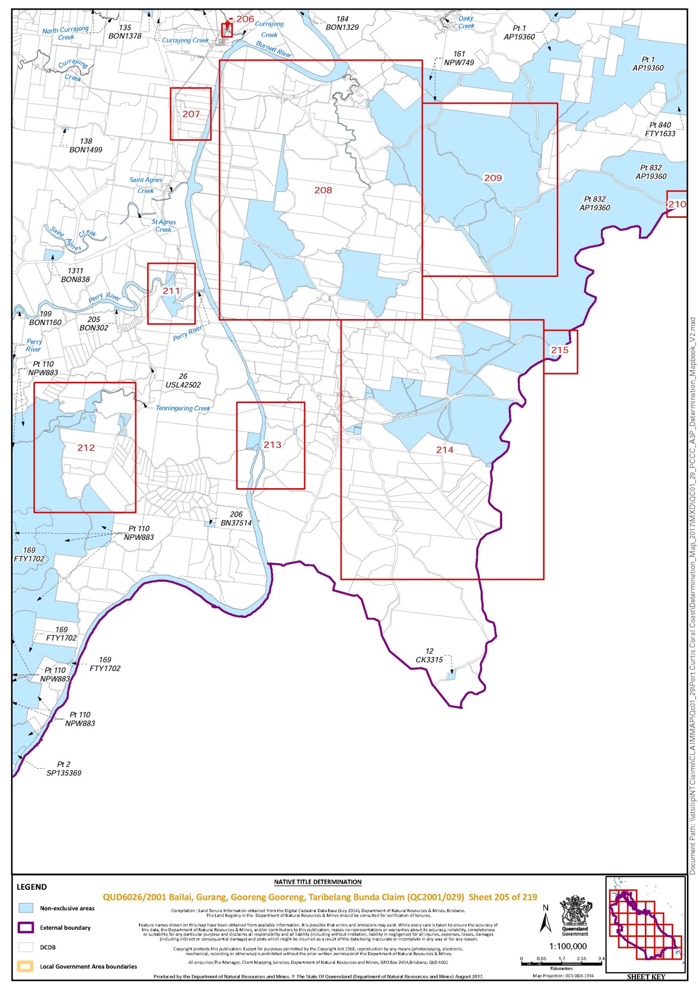
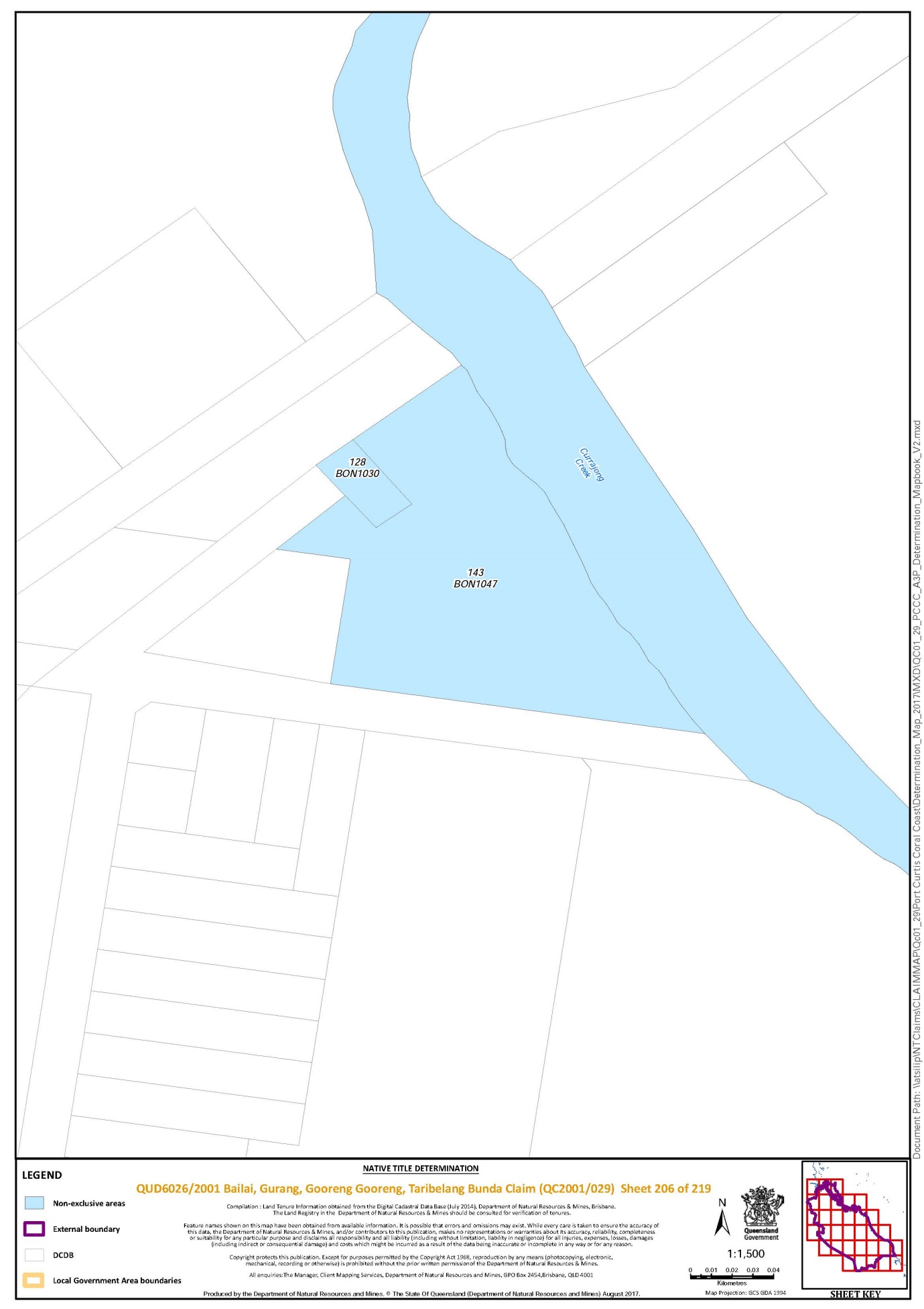
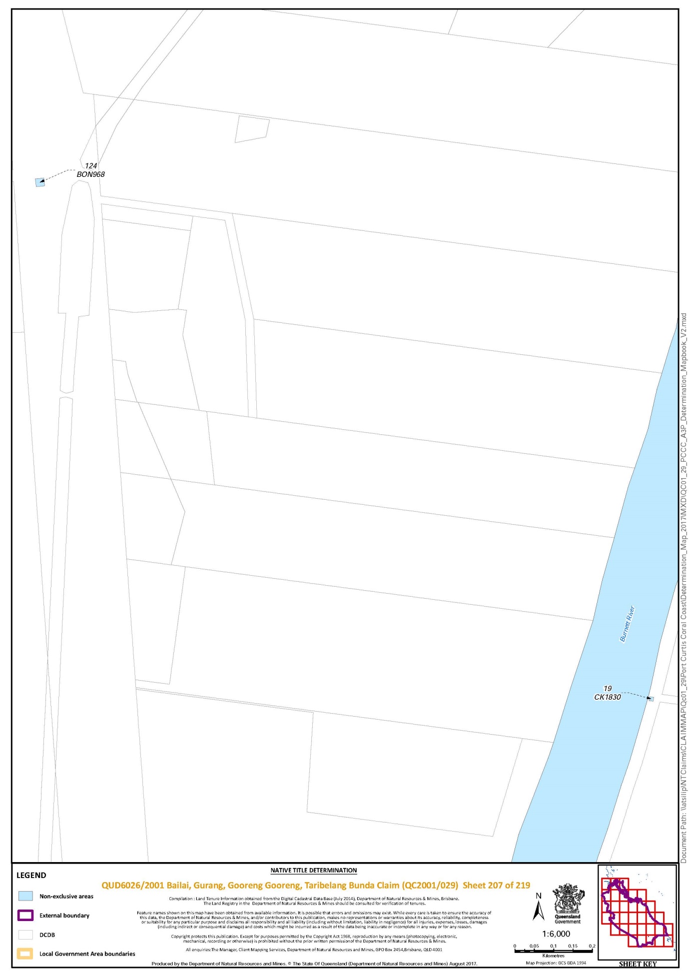
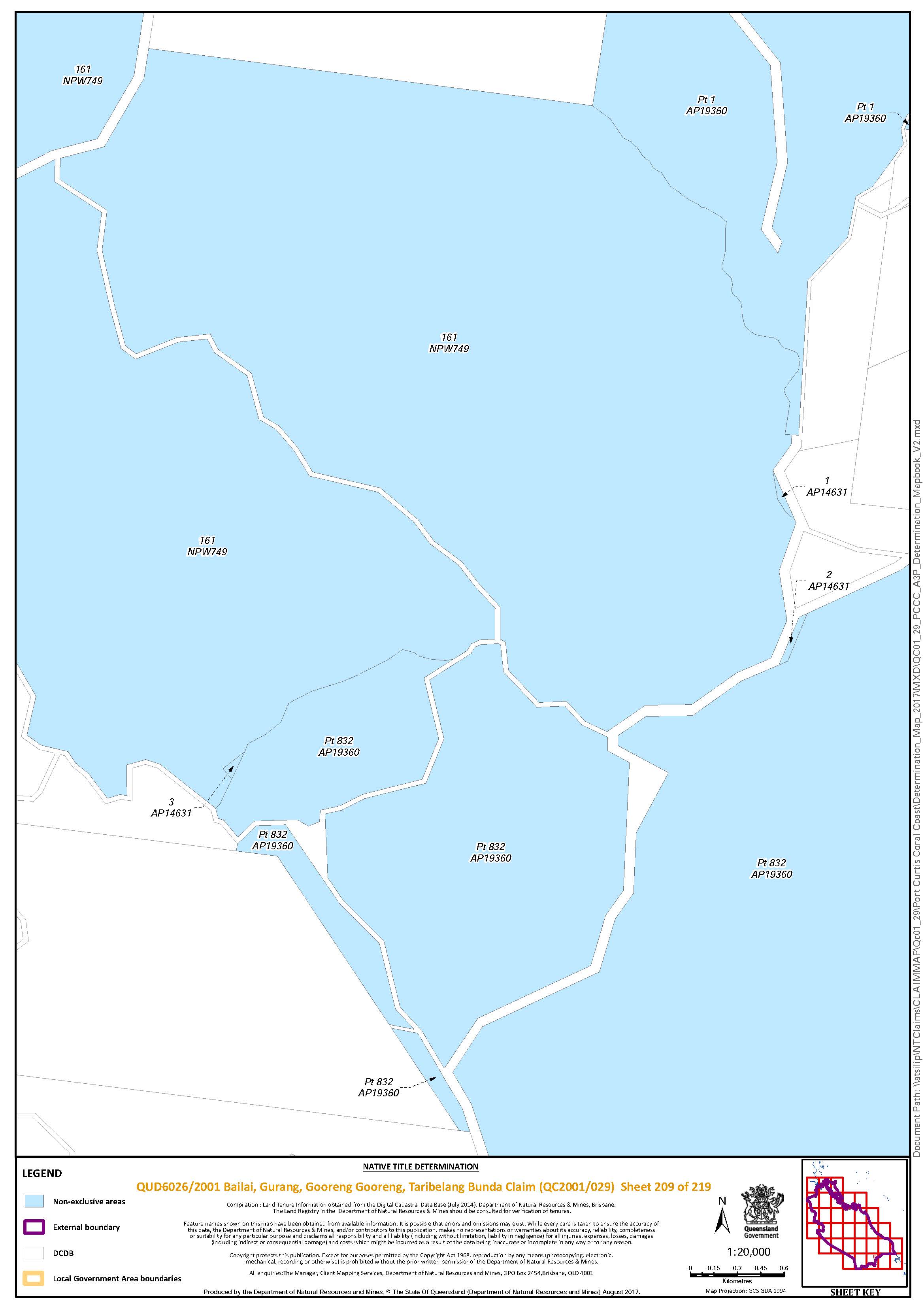
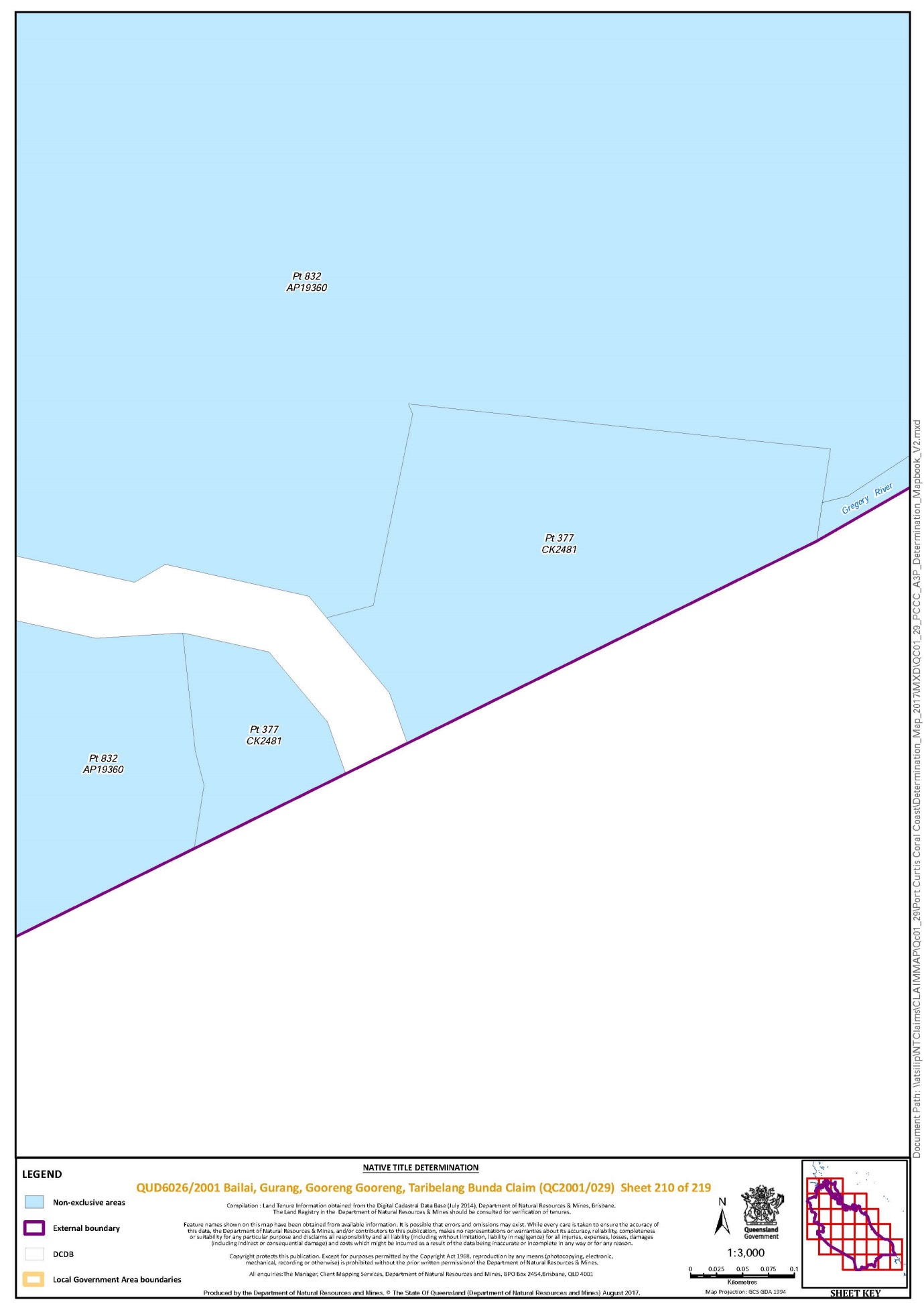
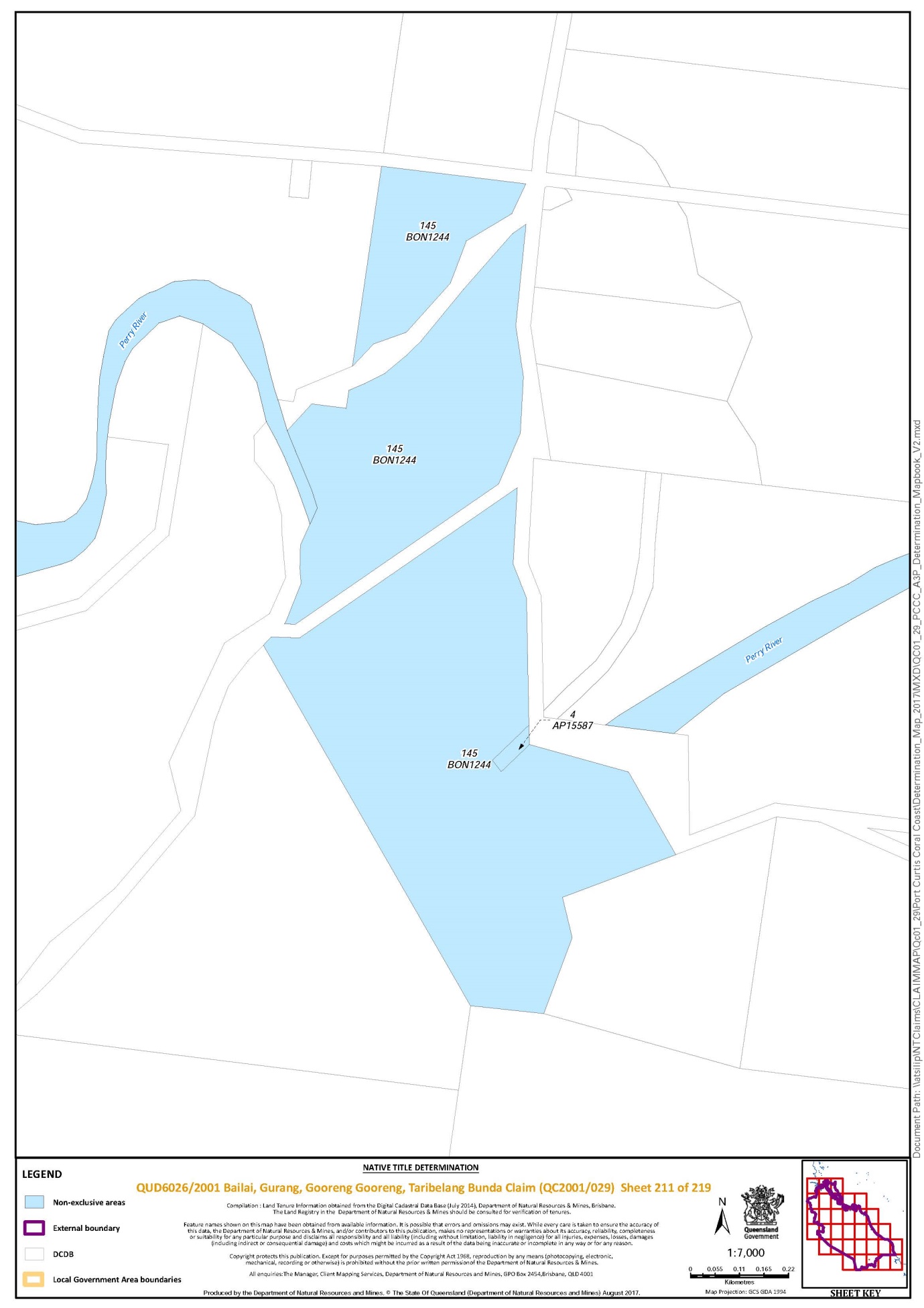
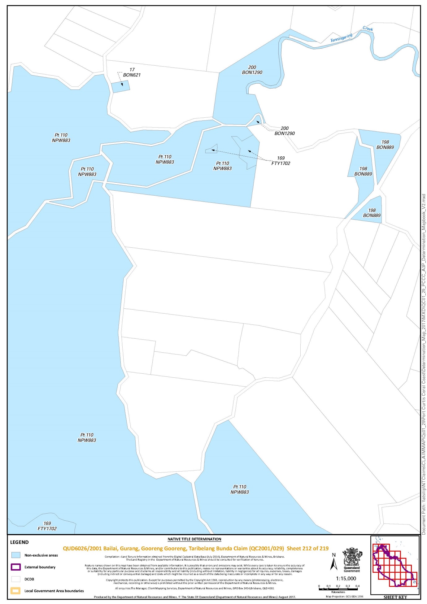
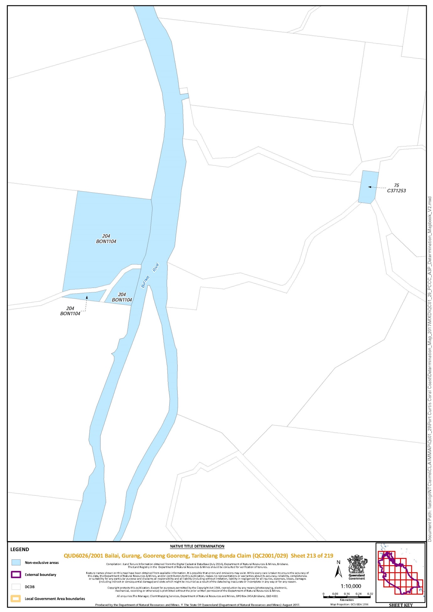
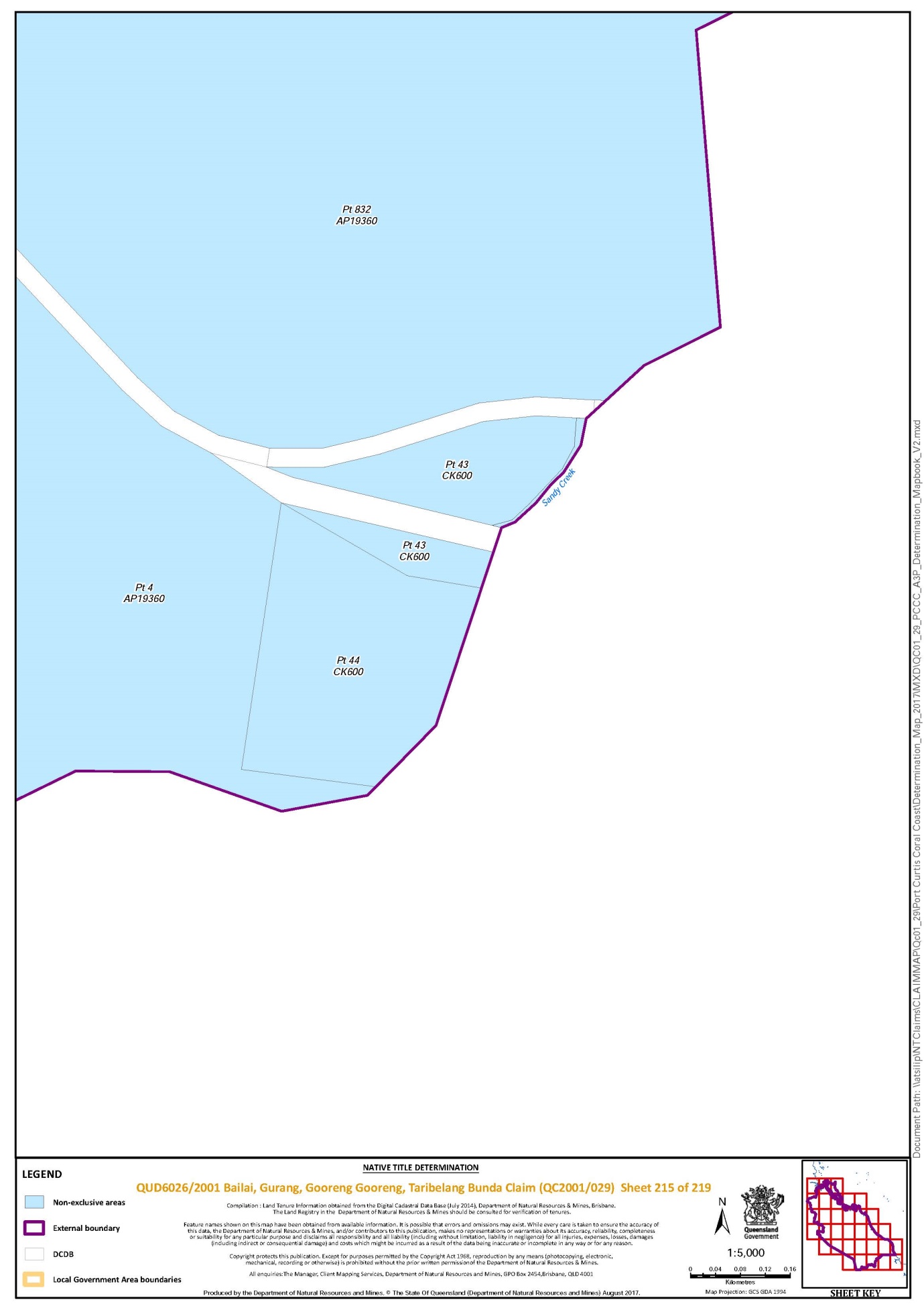
Schedule 1 — DETERMINATION AREA
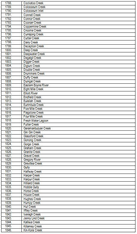
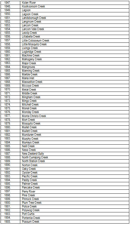
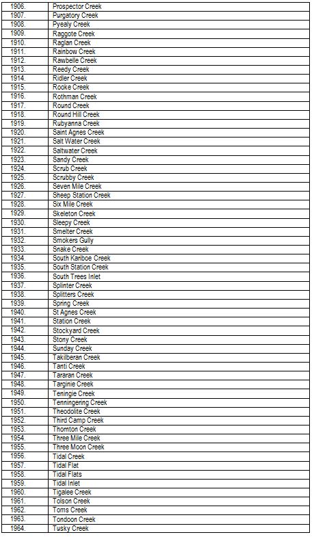
The determination area comprises the lots on plan, or relevant parts thereof, and Watercourses described in the tables below and depicted in the maps in Schedule 3, to the extent those areas are within the External Boundary and not otherwise excluded by the terms Schedule 2.
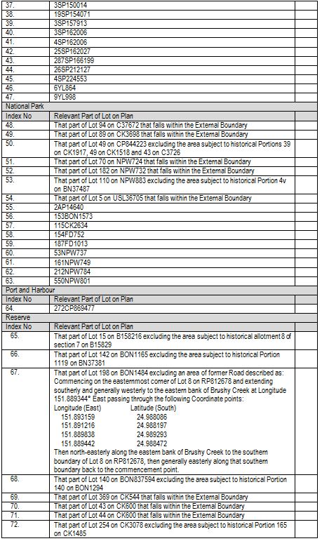
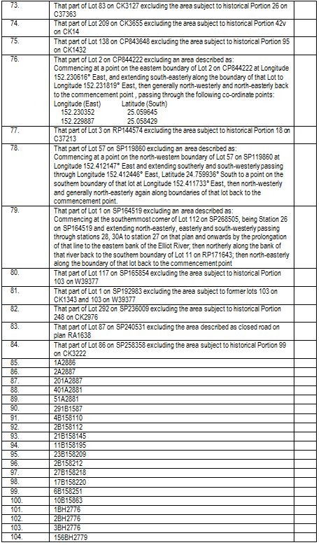
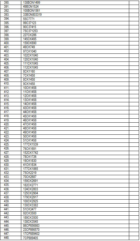
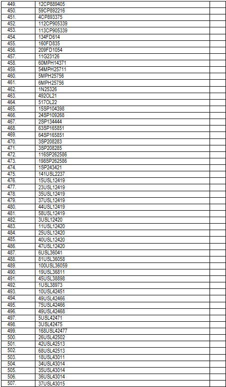
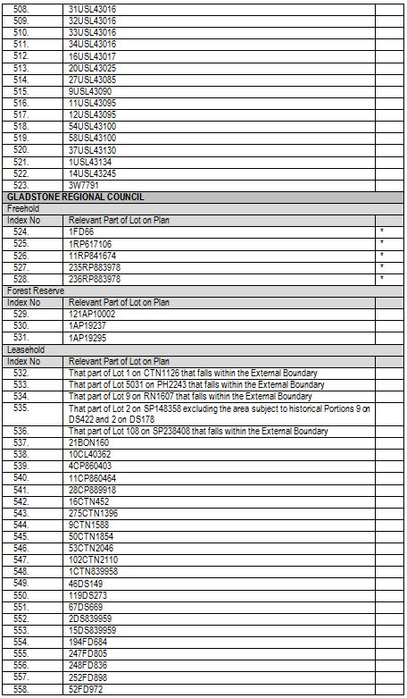
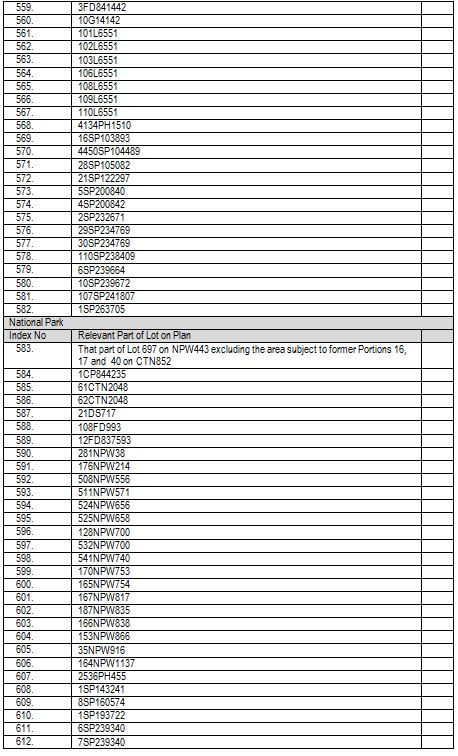
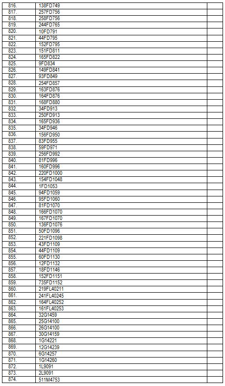
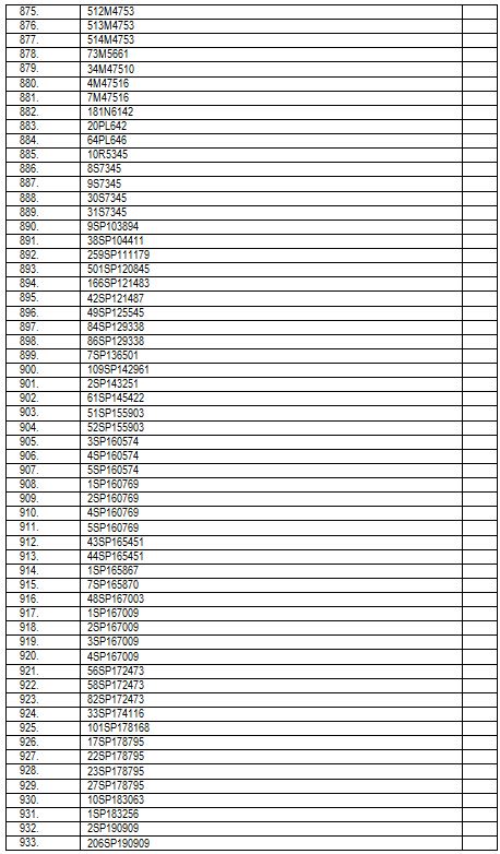
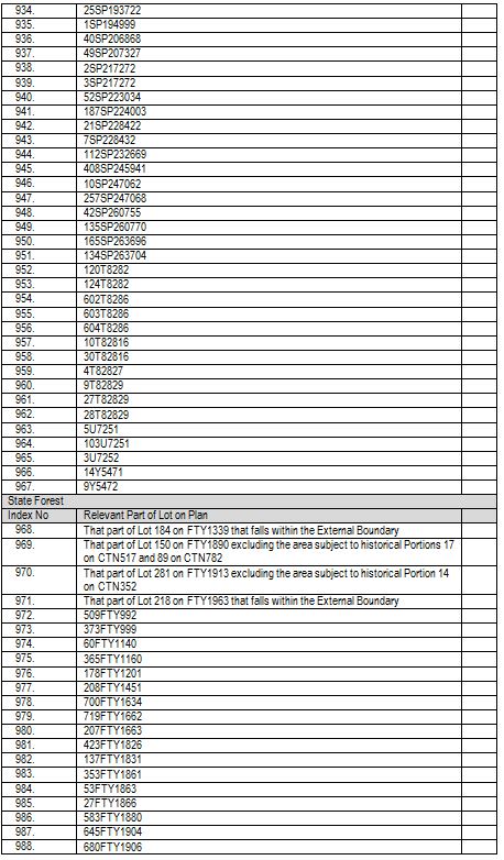
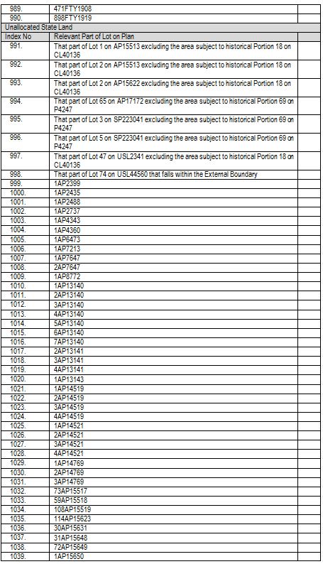
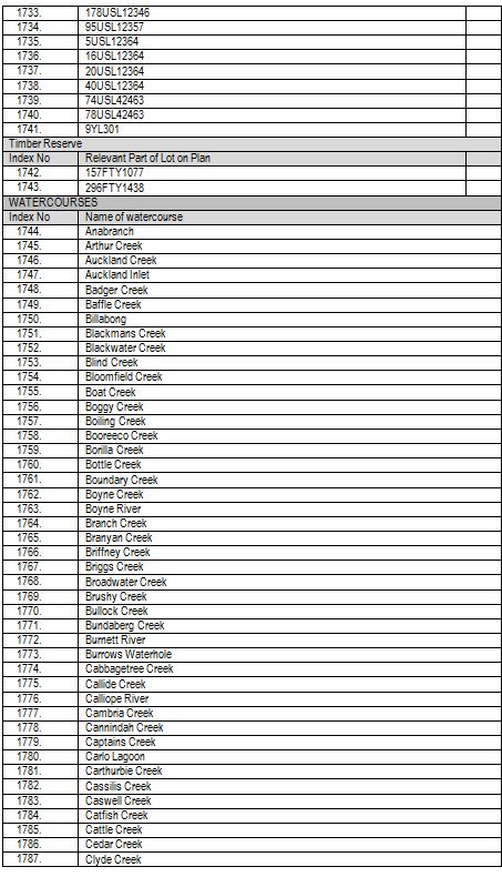
Note: Areas marked with an “*” are areas to which s 47A of the Native Title Act 1993 (Cth) applies.
External Boundary:
Commencing at the intersection of the eastern bank of Raglan Creek and the southern bank of Kamiesh Passage and extending generally south-easterly, generally easterly and generally northerly along the southern bank of that passage, southern and eastern banks of Connor Creek to its intersection with the High Water Mark; then generally easterly, generally south-easterly along that High Water Mark to Latitude 25.068444° South; then easterly along a line to the centreline of the Gregory River at Longitude 152.251061° East; then generally westerly, and generally south-westerly along the centreline of that river and the centreline of Sandy Creek to its intersection with an unnamed Tributary at Latitude 25.237790° South; then generally southerly along the centreline of that tributary to its headwaters; then south-westerly to a point on the eastern boundary of the Lower Burnett River Sub Basin Catchment at Latitude 25.275320° South; then generally southerly along that catchment boundary to its intersection with a southern boundary of Lot 101 on CK642; then westerly and north-westerly along boundaries of that lot to its western most corner; then north-westerly to the southernmost corner of Lot 49 on C371248, a point on the northern boundary of Boundary Road; then generally north-westerly and generally westerly along the northern boundary of that Road (being the western boundaries of Lot 49 on C371248 and Lot 6 on RP191897, southern and western boundaries of Lot 9 on SP133572 and Lot 12 on SP228669 and southern boundaries of Lot 47 on C371258) to the eastern bank of the Burnett River; then generally south-westerly and generally westerly along the banks of that river to Longitude 151.689791° East; then generally north-westerly to a point on the boundary of the North Burnett Regional Council boundary at Longitude 150.897538° East, Latitude 24.664981° South passing through the following coordinate points.
Then generally north-easterly and generally north-westerly along boundaries of that regional council to Latitude 24.619511° South; then northerly to again the boundary of the North Burnett Regional Council at Longitude 150.841676° East, Latitude 24.560119° South; then generally easterly and generally northerly again along boundaries of that regional council to its intersection with the southern boundary of the Gladstone Regional Council boundary; then generally westerly and generally north-westerly along the boundaries of that regional council to its intersection with an eastern boundary of an unnamed road at Latitude 24.381879° South, then generally northerly along boundaries of that unnamed road to Latitude 24.354027° South, then westerly to a corner of Lot 9 on RN1607 at longitude 150.862100 East, again a point on the southern boundary of Gladstone Regional Council boundary, then generally westerly and generally northerly again along boundaries of that regional council to Latitude 24.095971° South; then generally easterly and generally north-westerly to again a point on the Gladstone Regional Council boundary at Longitude 150.720580° East, Latitude 24.075203° South passing through the following coordinate points.
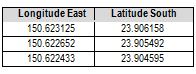
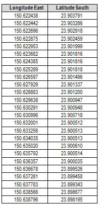
Then generally northerly and generally north-westerly again along boundaries of that regional council to latitude 23.906815° South; then generally northerly and generally easterly to a point on a western bank of an unnamed creek at Longitude 150.638799° East, Latitude 23.897643° South passing through the following coordinate points.
Then generally northerly and generally north easterly along the banks of that unnamed Creek, western and northern banks of Langmorn Creek and Raglan Creek to Longitude 150.808741° East; then north-easterly to again a point on the bank of Raglan Creek at Longitude 150.840550° East, Latitude 23.730237° South; then generally westerly, generally northerly and generally north westerly along southern and western banks of that creek to Latitude 23.706794° South; then easterly to the eastern bank of that creek at Latitude 23.706774° South; then generally northerly along the eastern bank of that creek back to the commencement point.
Data Reference and source
External Boundary based on data sourced from Department of Natural Resources and Mines, Qld (August 2017).
Cadastral data sourced from Department of Natural Resources and Mines, Qld (1 July 2014).
Local Government Authority boundaries sourced from Department of Natural Resources and Mines, Qld (August 2014).
Catchment boundaries based on Drainage Basin Sub-Area Queensland data sourced from Department of Natural Resources and Mines, Qld (Sept 2011).
Rivers and creeks based, where possible on cadastral data sourced from Department of Natural Resources and Mines, Qld. Elsewhere, rivers and creeks based on 1:250,000 topographic vector data © Commonwealth of Australia (Geoscience Australia) 2008.
Reference datum
Geographical coordinates are referenced to the Geocentric Datum of Australia 1994 (GDA94), in decimal degrees and are based on the spatial reference data acquired from the various custodians at the time.
Use of Coordinates
Where coordinates are used within the description to represent cadastral or topographical boundaries or the intersection with such, they are intended as a guide only. As an outcome to the custodians of cadastral and topographic data continuously recalculating the geographic position of their data based on improved survey and data maintenance procedures, it is not possible to accurately define such a position other than by detailed ground survey.
Prepared by Queensland South Native Title Services (23 August 2017).
Schedule 2 — AREAS NOT FORMING PART OF THE DETERMINATION AREA
1. On the basis that they could not be claimed in accordance with s 61A of the Native Title Act 1993 (Cth), the determination area does not include those land and waters within the External Boundary, which:
(a) at the time the respective native title determination applications were made, were the subject of one or more previous exclusive possession acts as defined in s 23B of the Native Title Act 1993 (Cth) (despite the fact that the areas, or parts of them, may have been subject to earlier acts that extinguished native title); and
(b) are not, at the time of this determination, areas to which ss 47 or 47B of the Native Title Act 1993 (Cth) apply, there being no areas of those kinds in this determination;
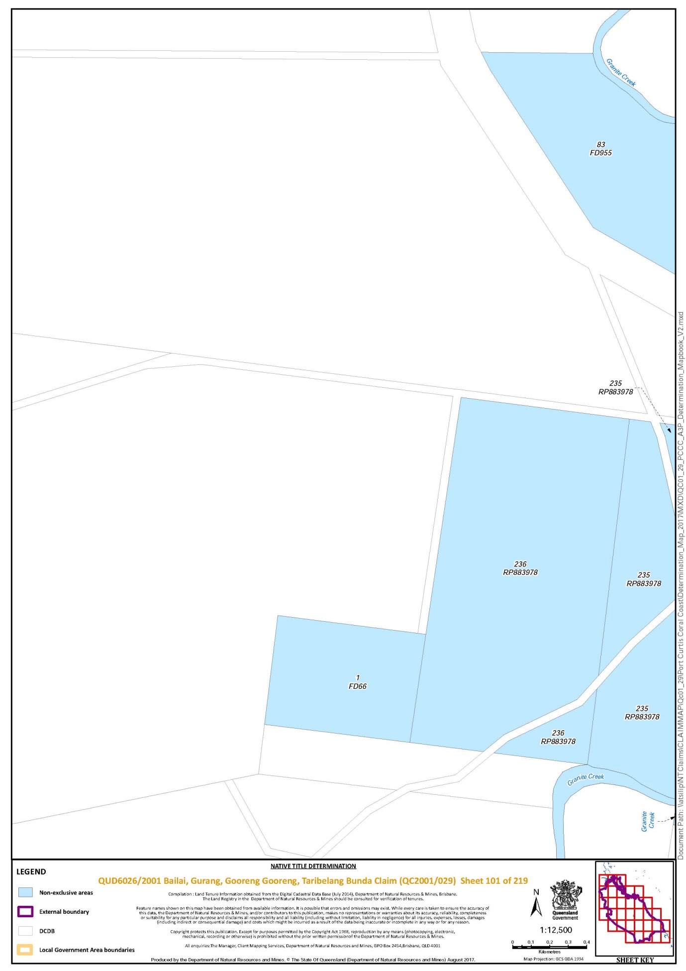
(c) are not, at the time of this determination, described as Lot 1 on FD66, Lot 1 on RP617106, Lot 11 on RP841674, Lot 235 on RP883978 or Lot 236 on RP883978, being areas to which the parties have agreed s 47A of the Native Title Act 1993 (Cth) applies.
2. The determination area does not include land and waters on which any public work as defined in s 253 of the Native Title Act 1993 (Cth), is constructed, established or situated, and to which ss 23B(7) and 23C(2) of the Native Title Act 1993 (Cth), and/or s 23B(7) of the Native Title Act 1993 (Cth) and s 21 of the Native Title (Queensland) Act 1993 (Qld), applies, together with any adjacent land or waters in accordance with s 251D of the Native Title Act 1993 (Cth).
3. Specifically and to avoid any doubt, the determination area does not include those parts of:
(a) Lot 695 on FTY1570 that are subject to the Mt Fort William Main Radio Terminal which is a public work as defined in paragraph 2 of Schedule 2 above;
(b) Lot 212 on NPW784 that are subject to the Watalgan Main Radio Terminal which is a public work as defined in paragraph 2 of Schedule 2 above;
(c) Lot 898 on FTY1919 that are subject to the Watalgan Optic Fibre Repeater which is a public work as defined in paragraph 2 of Schedule 2 above.
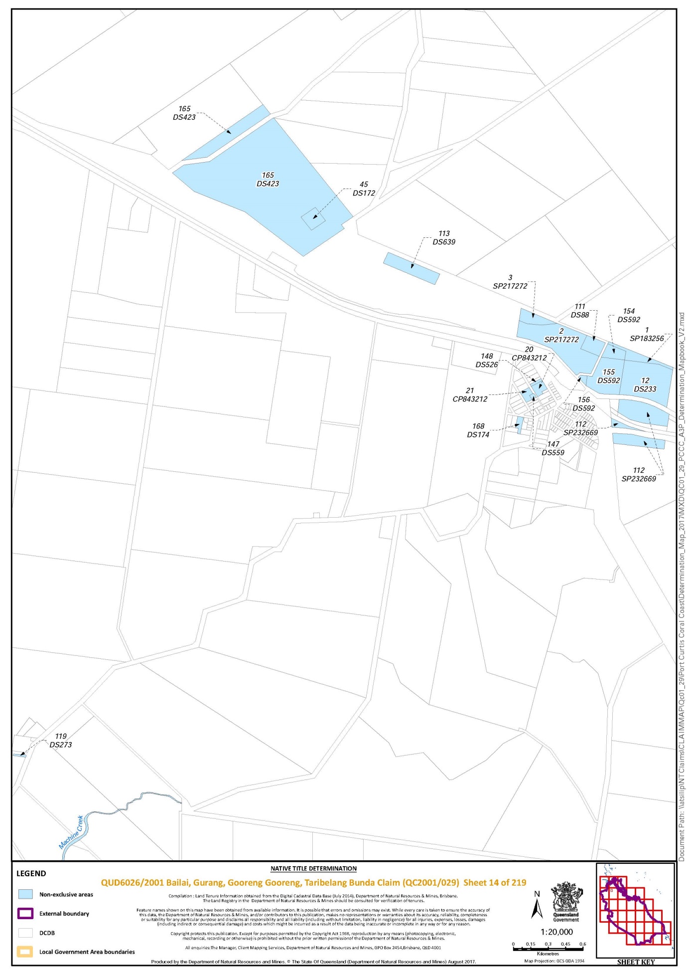
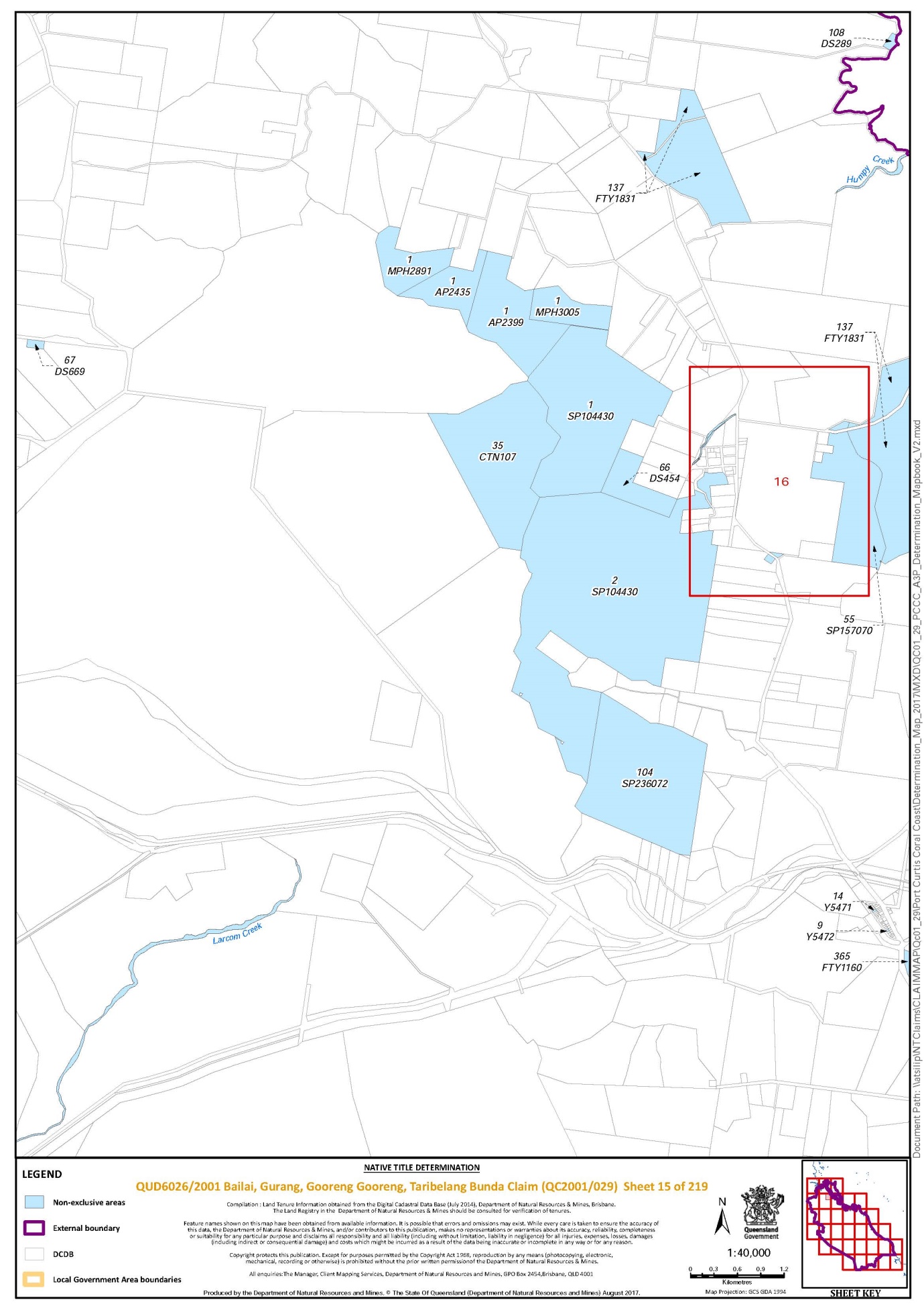
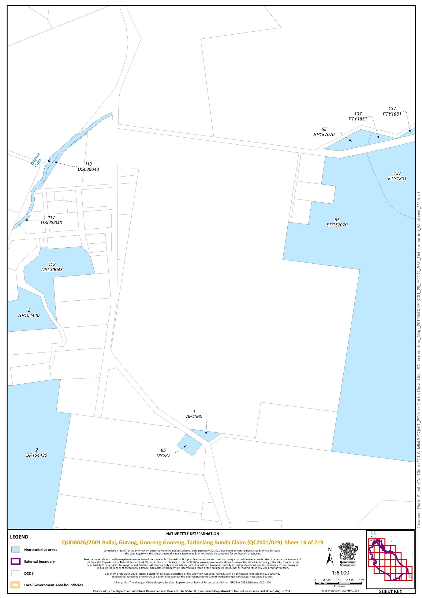
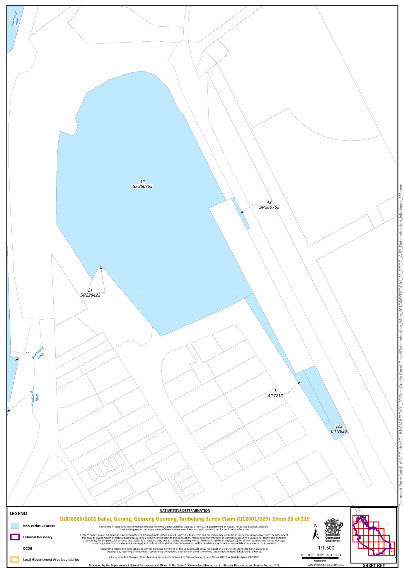
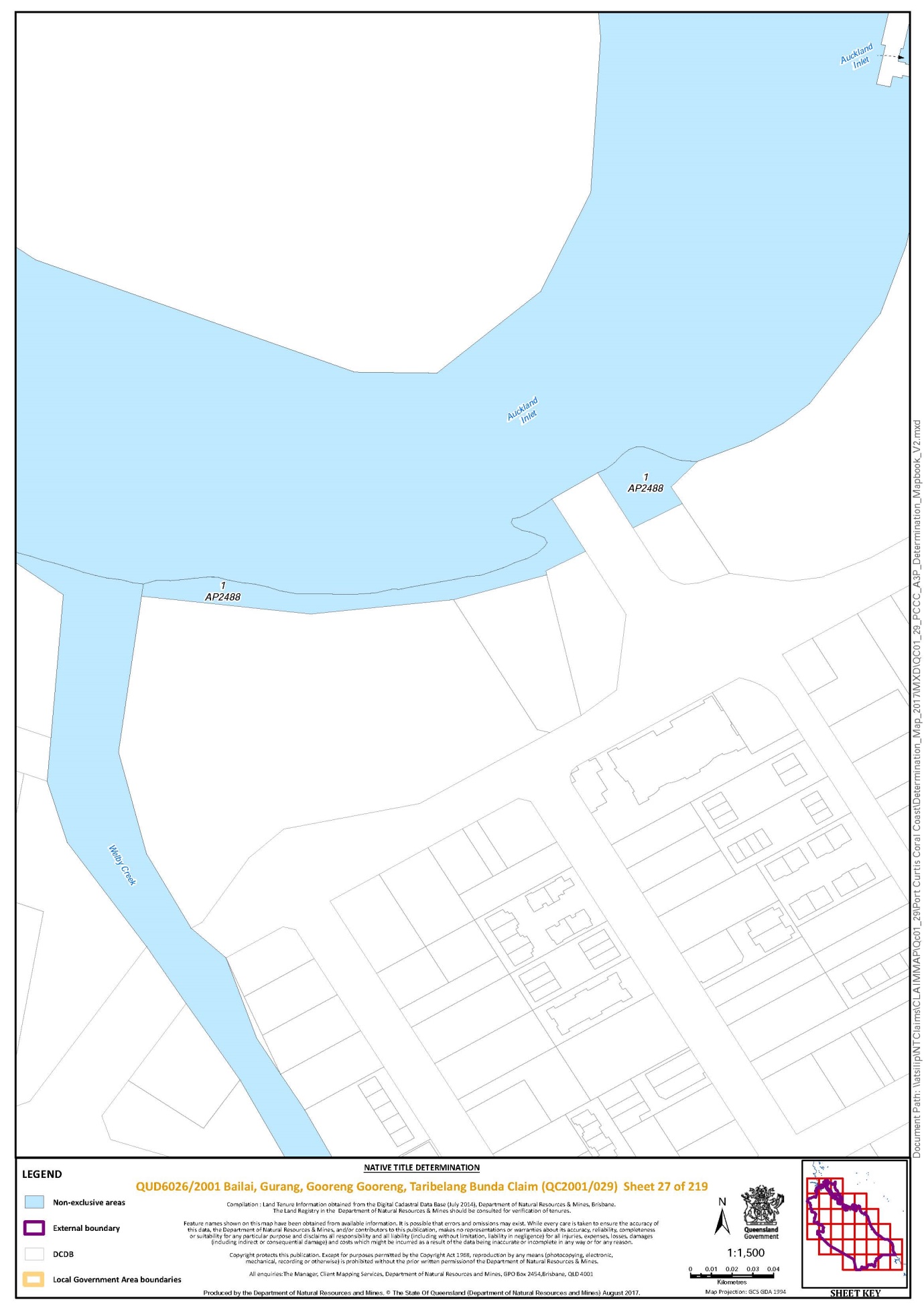
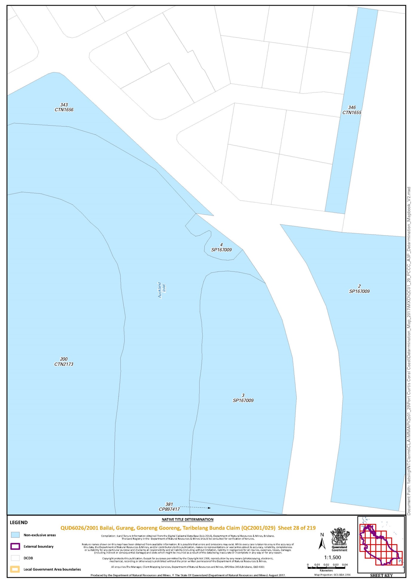
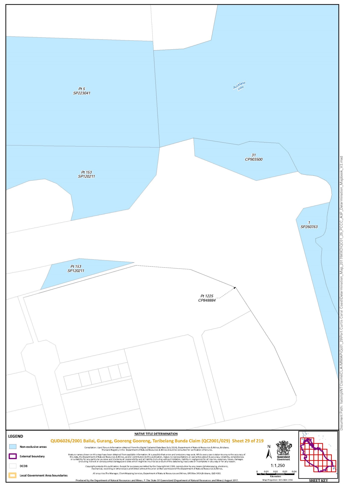
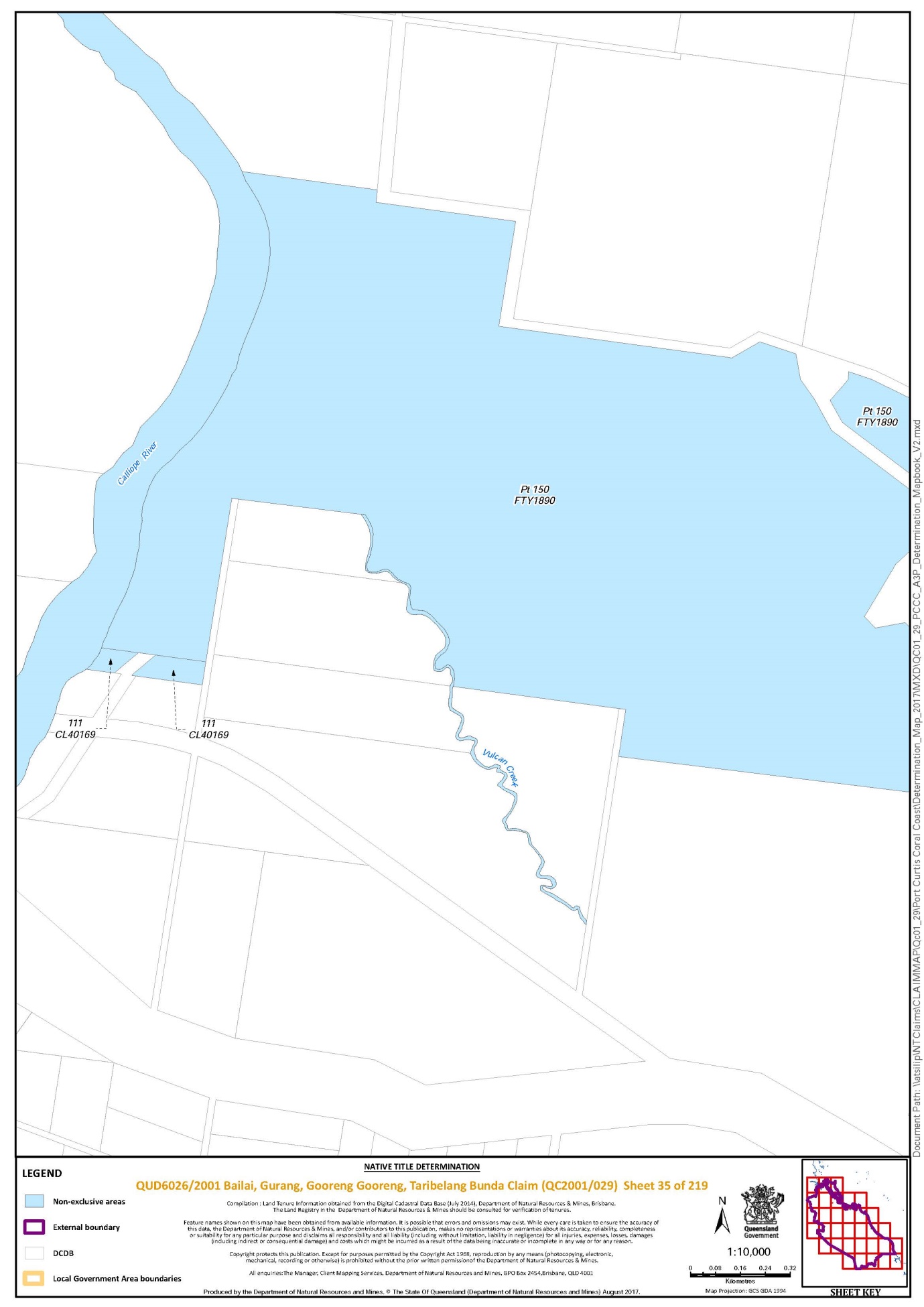
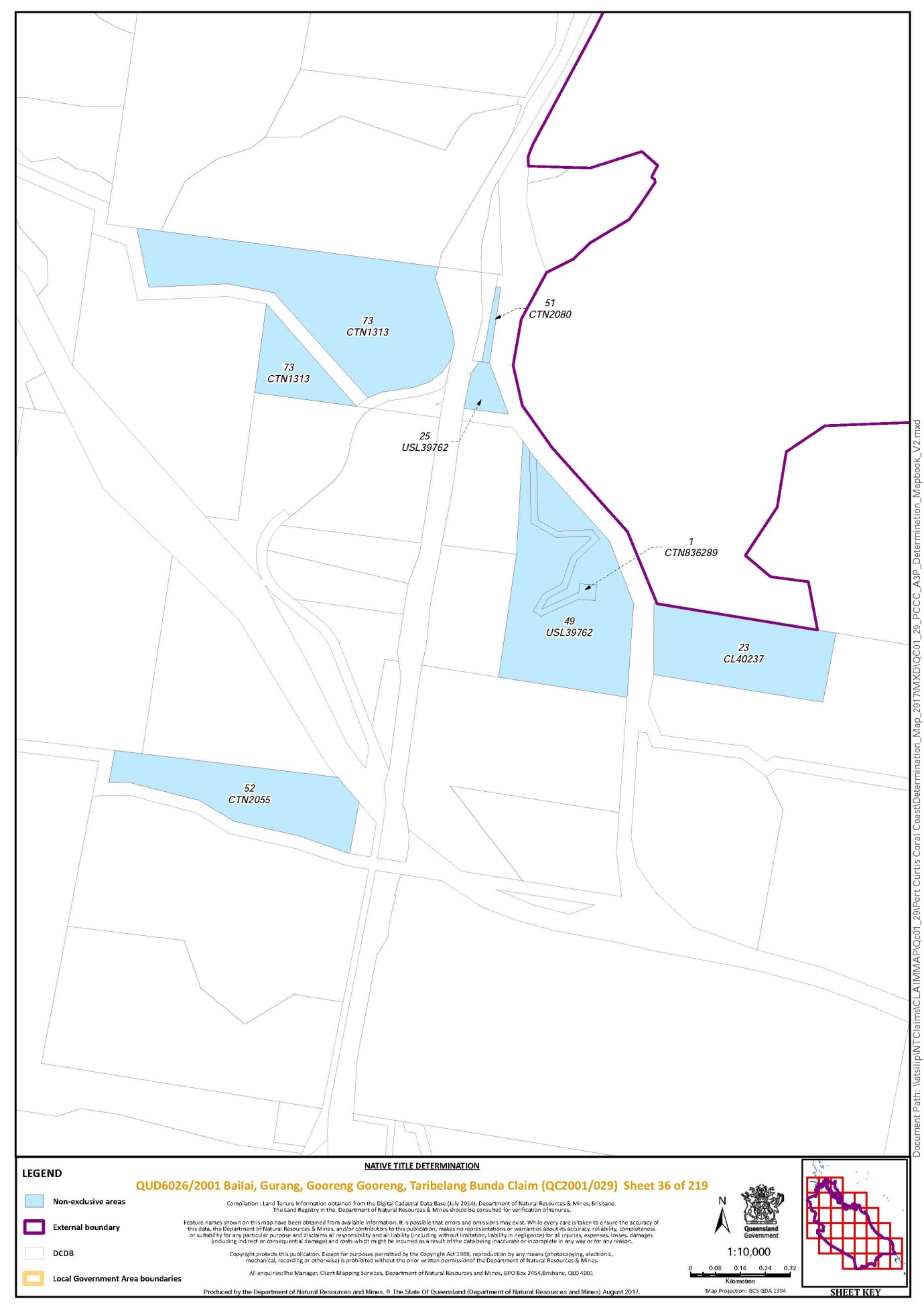
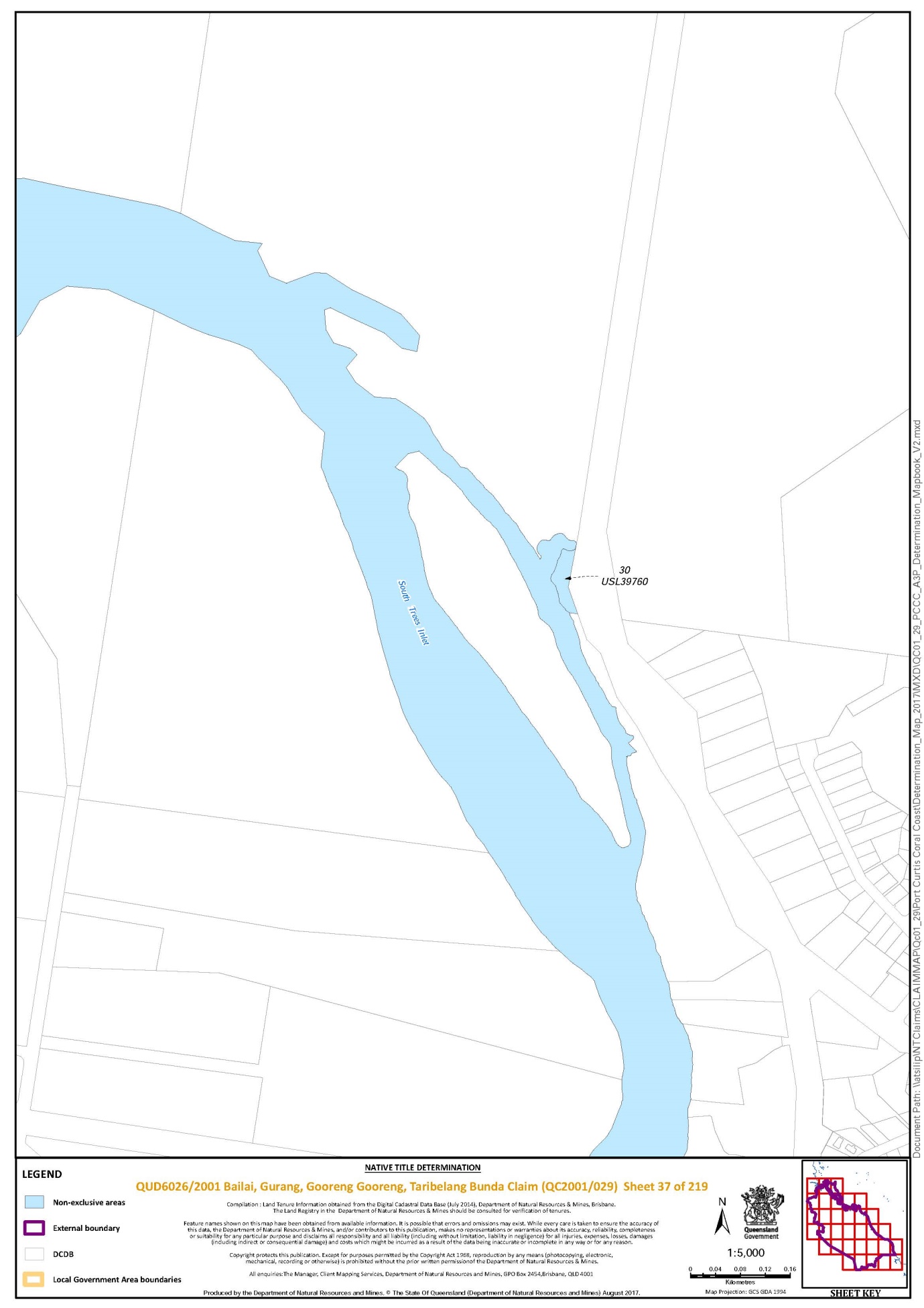
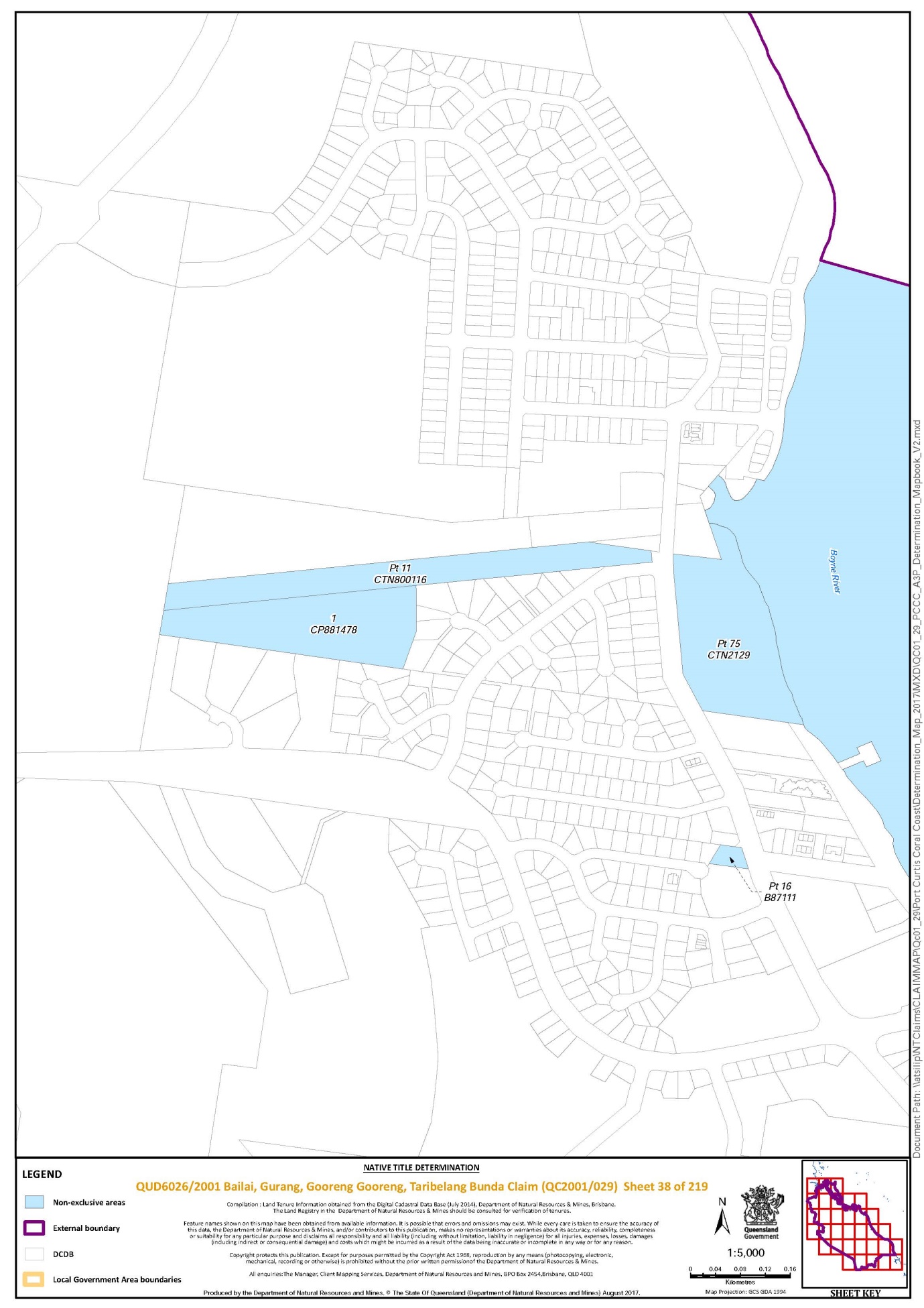
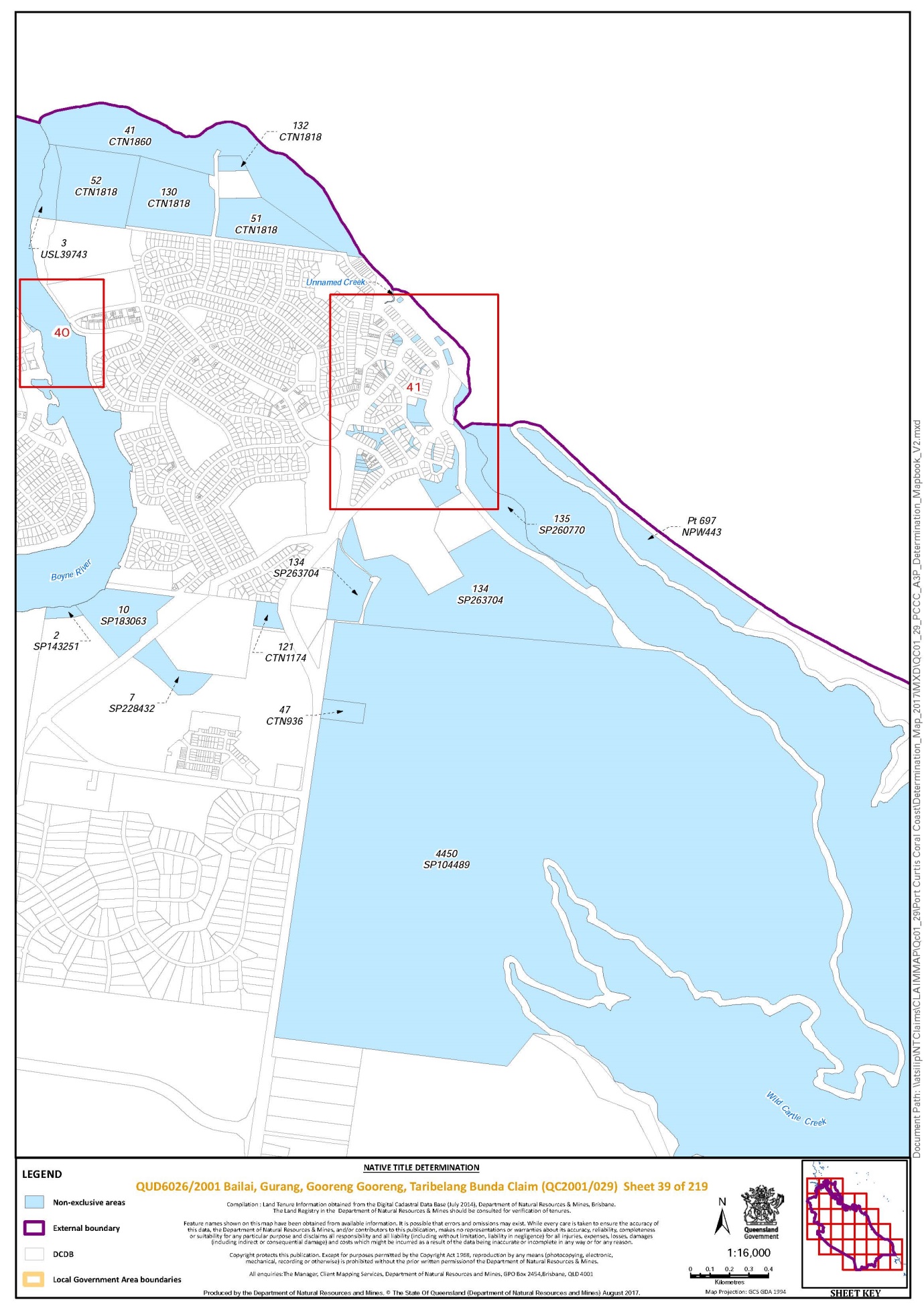
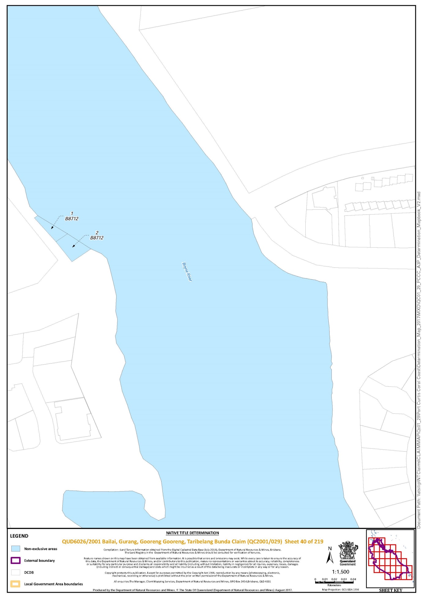
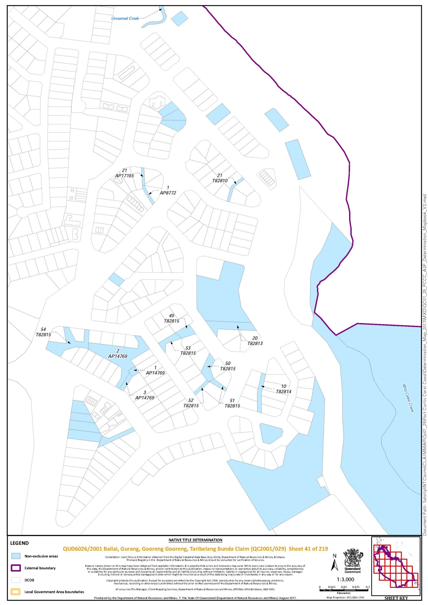
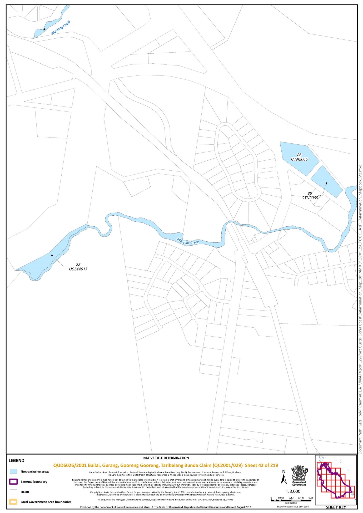
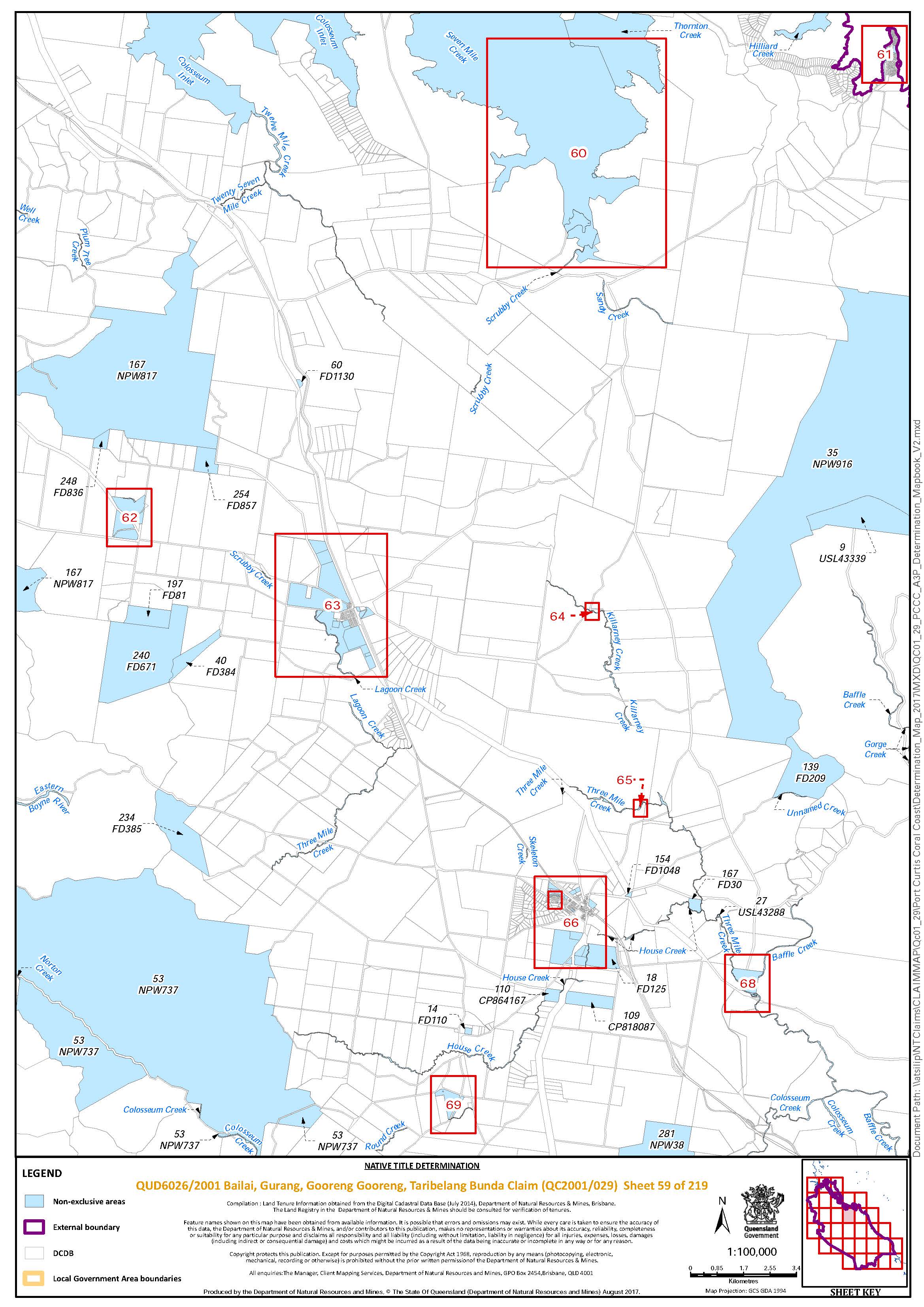
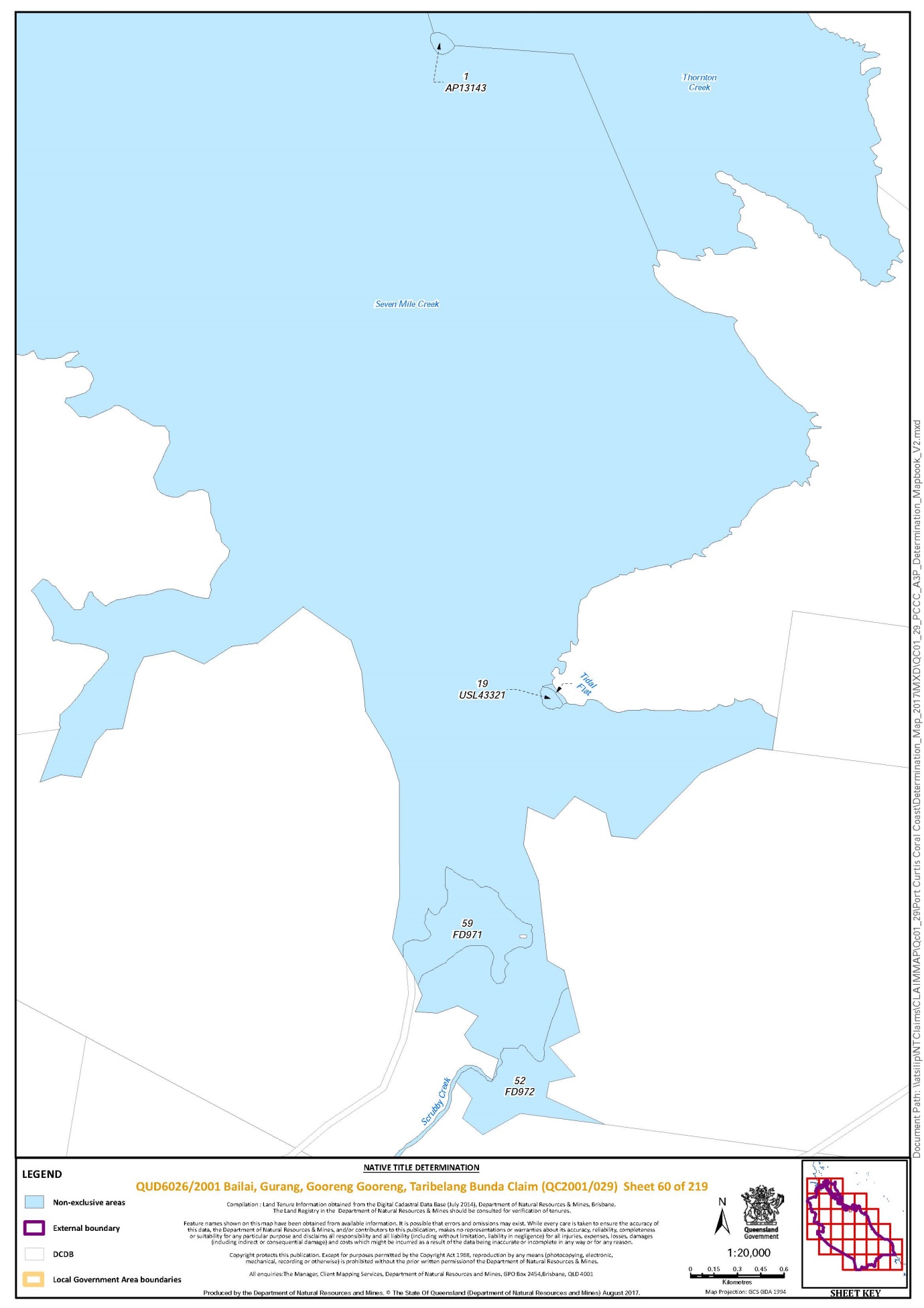
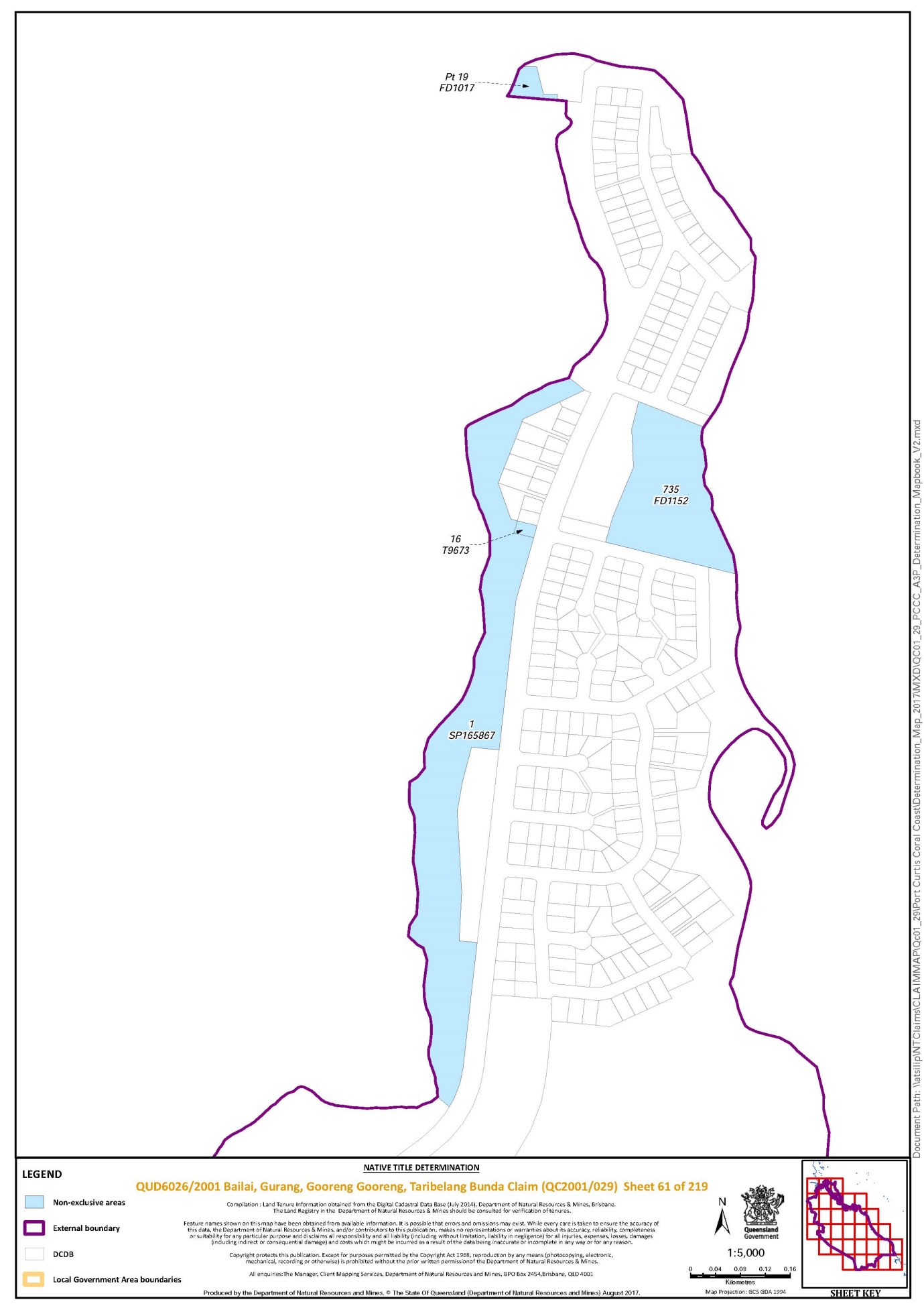
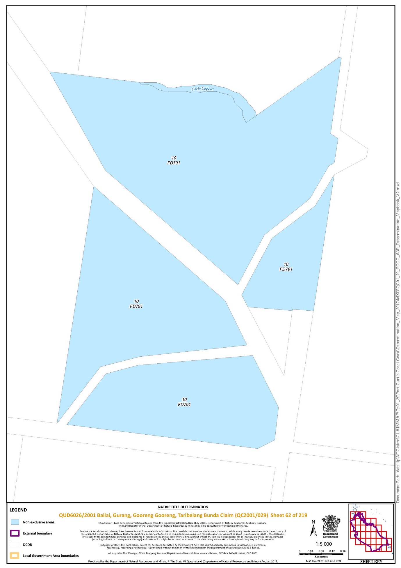
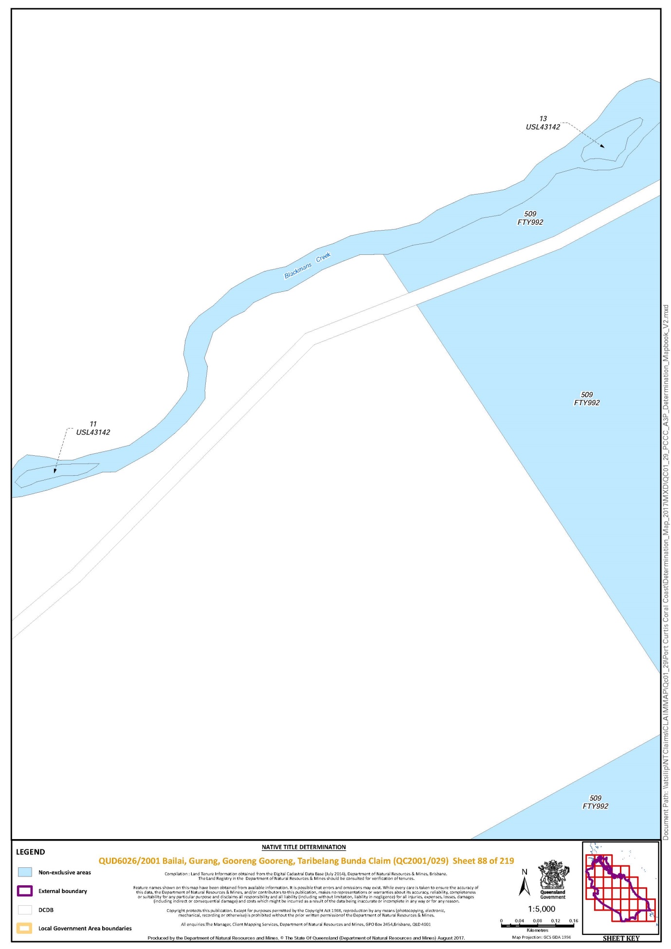
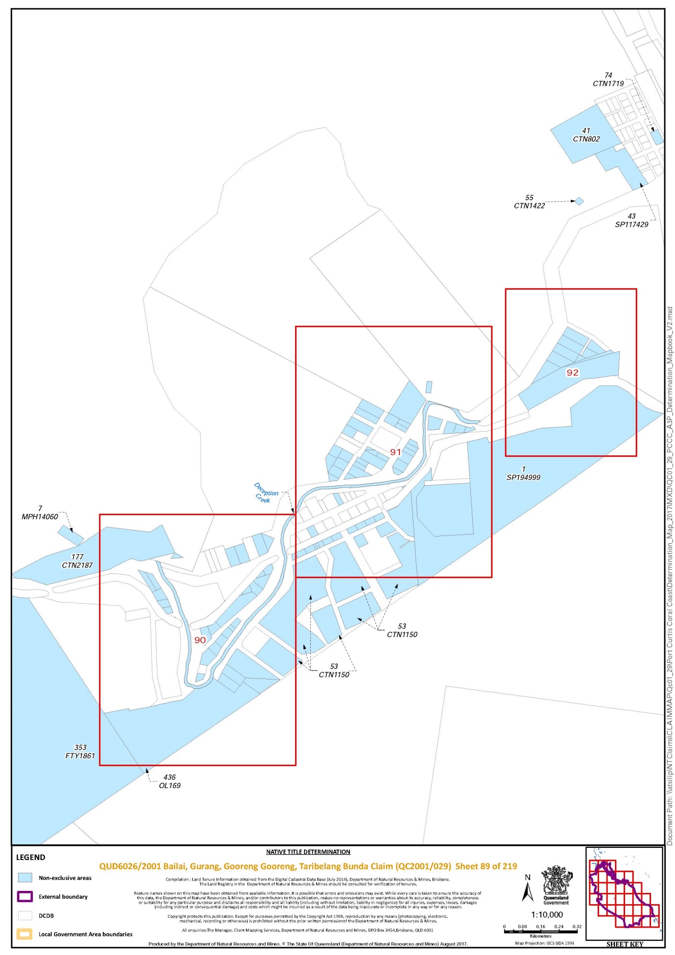
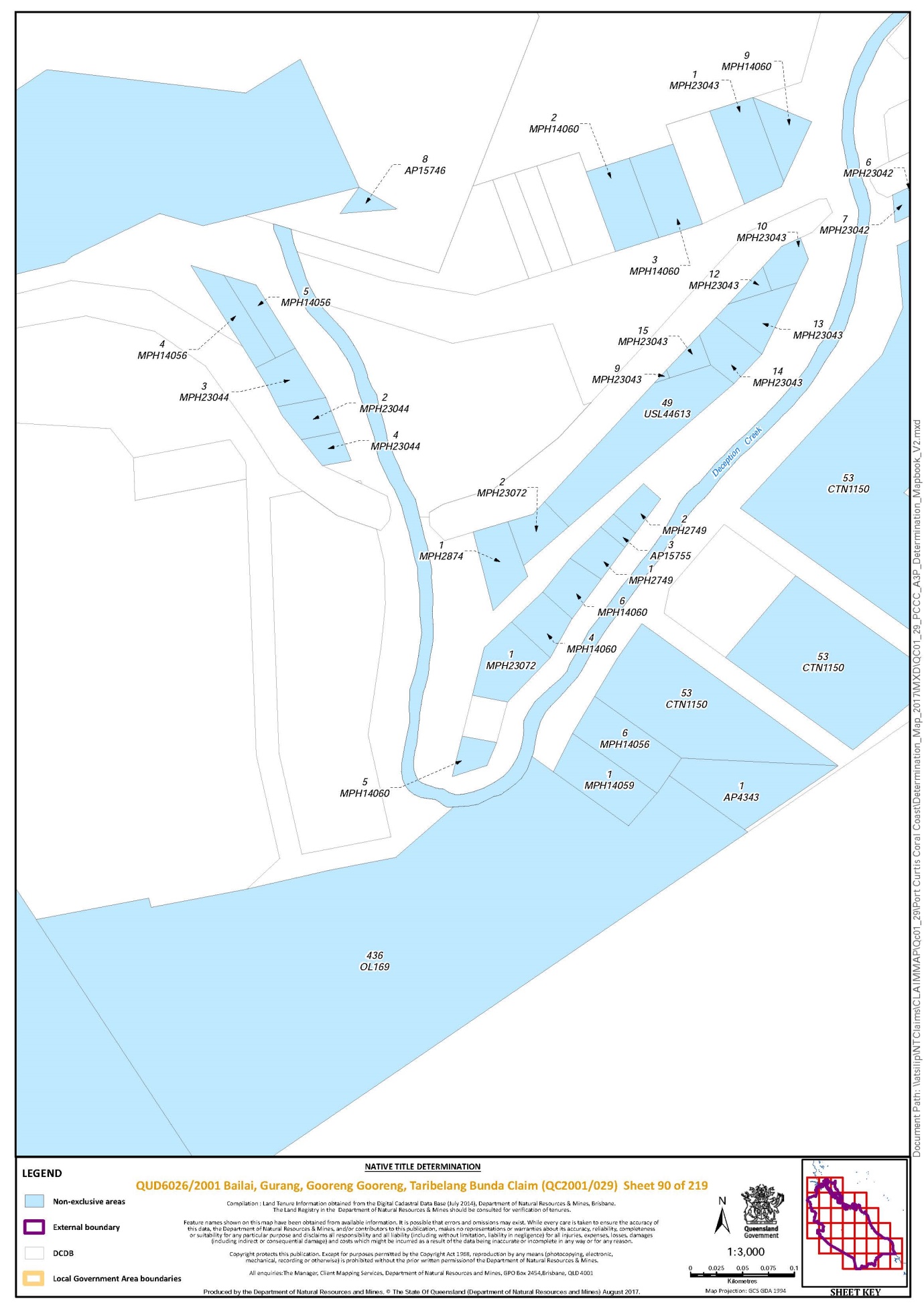
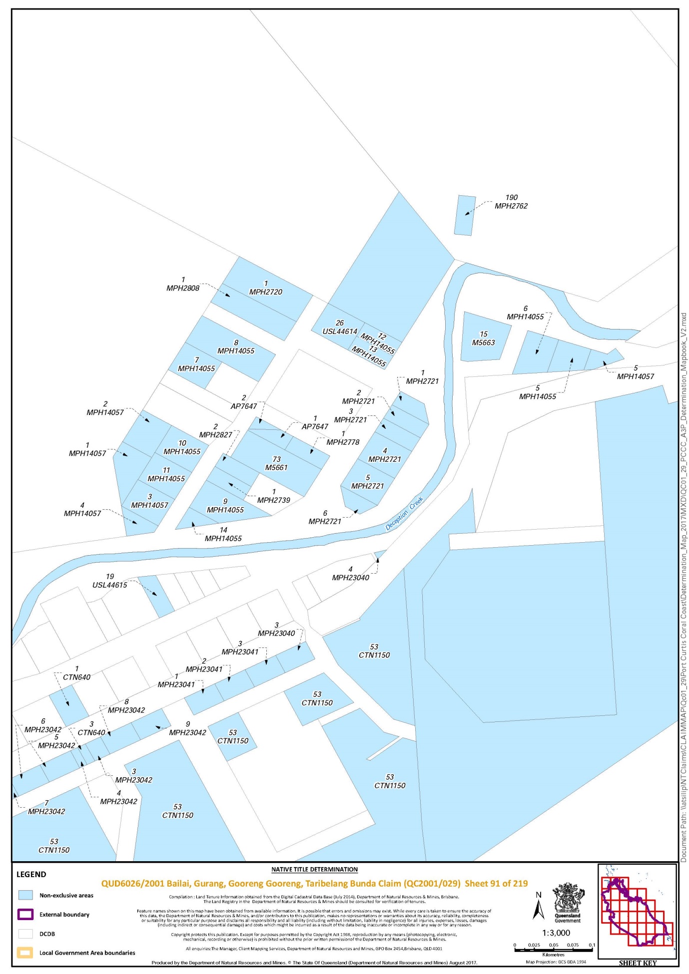
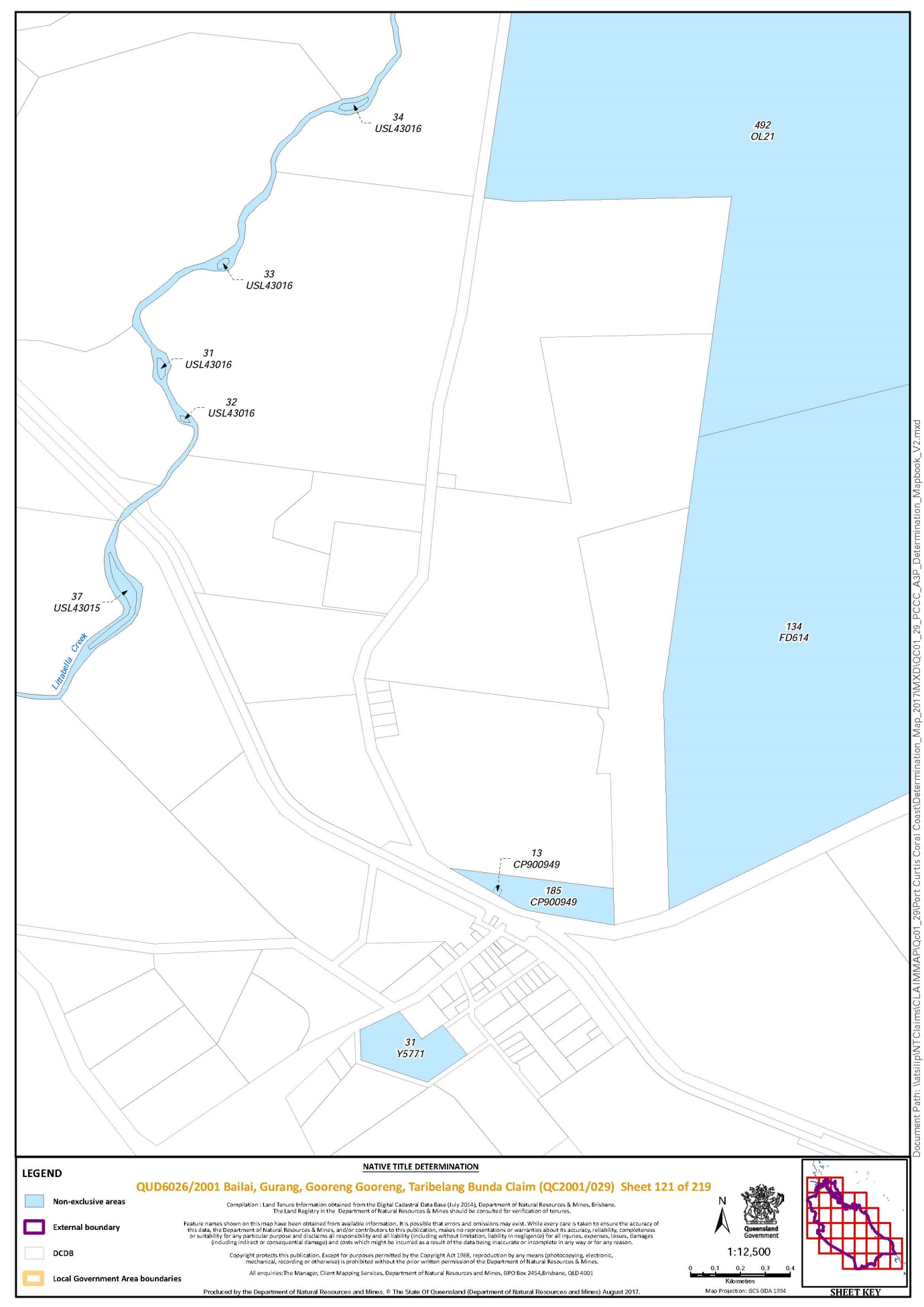
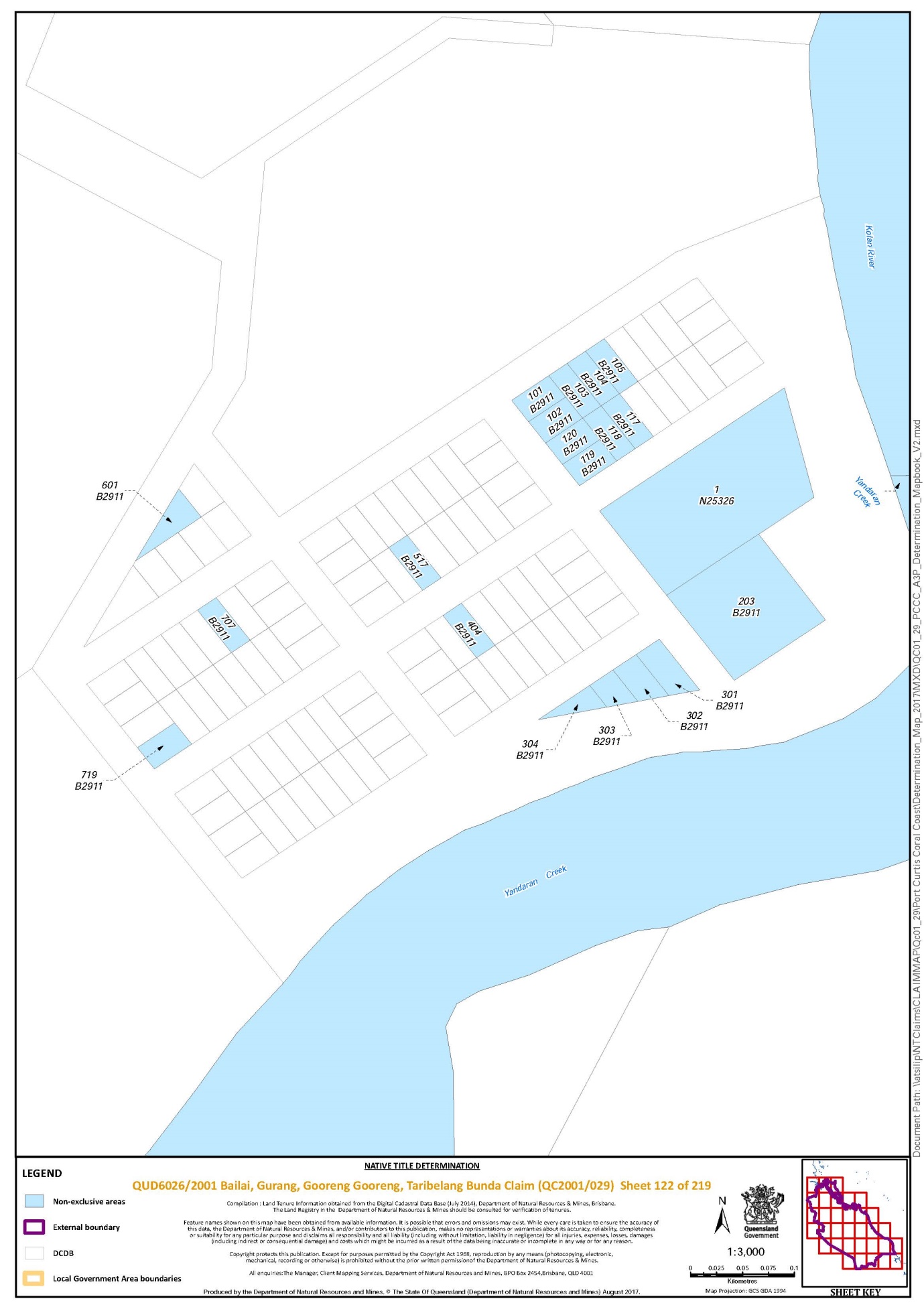
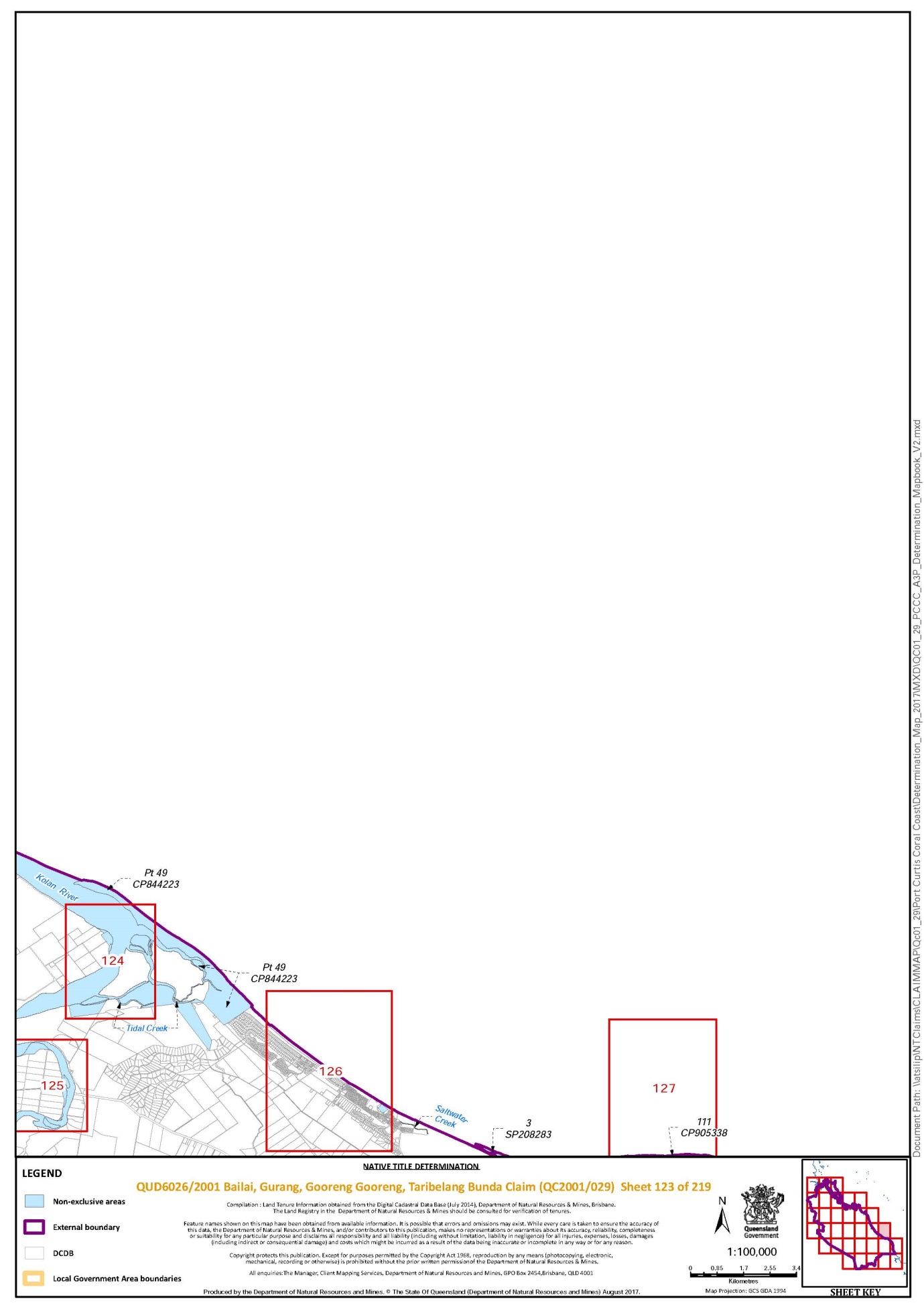
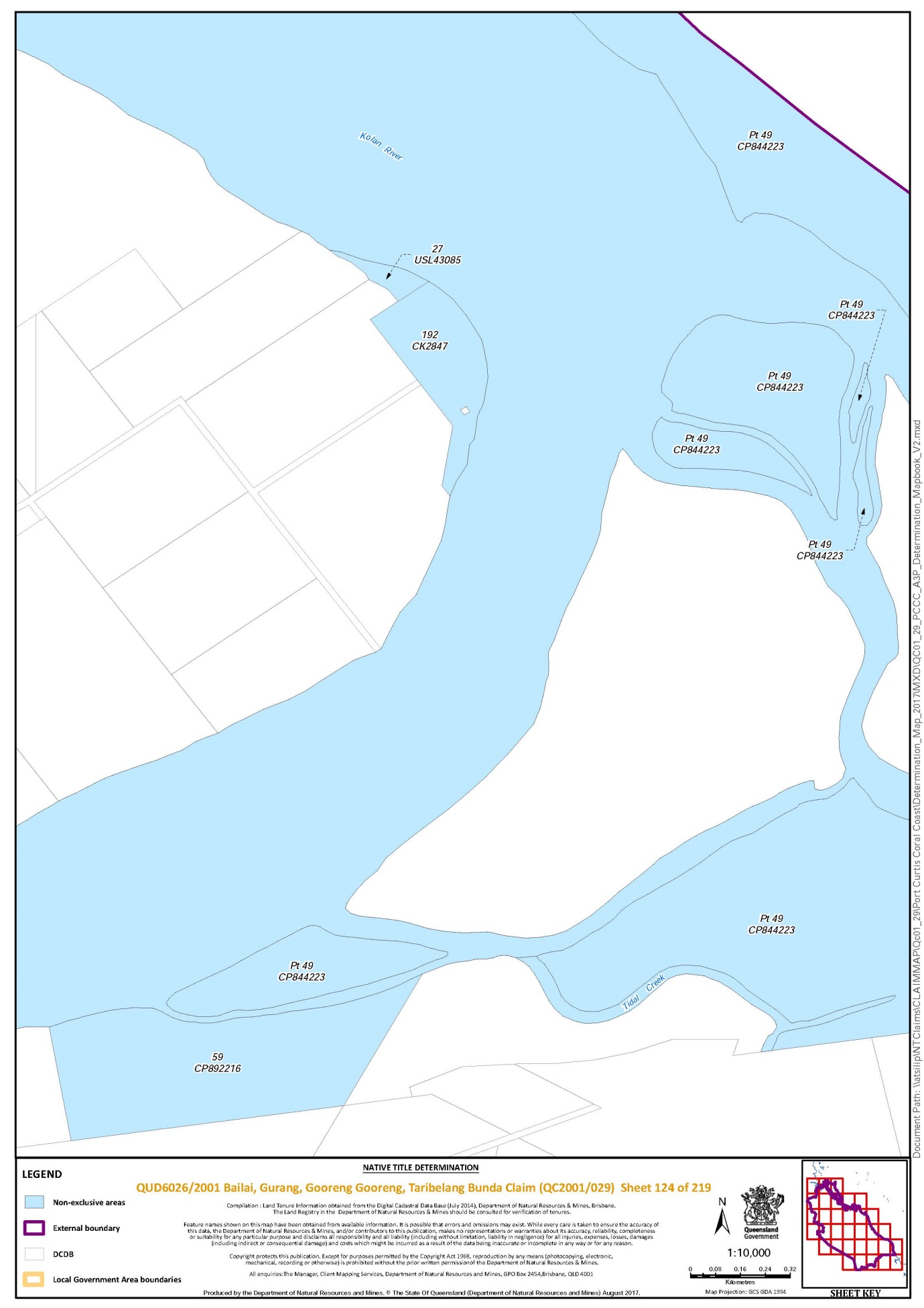
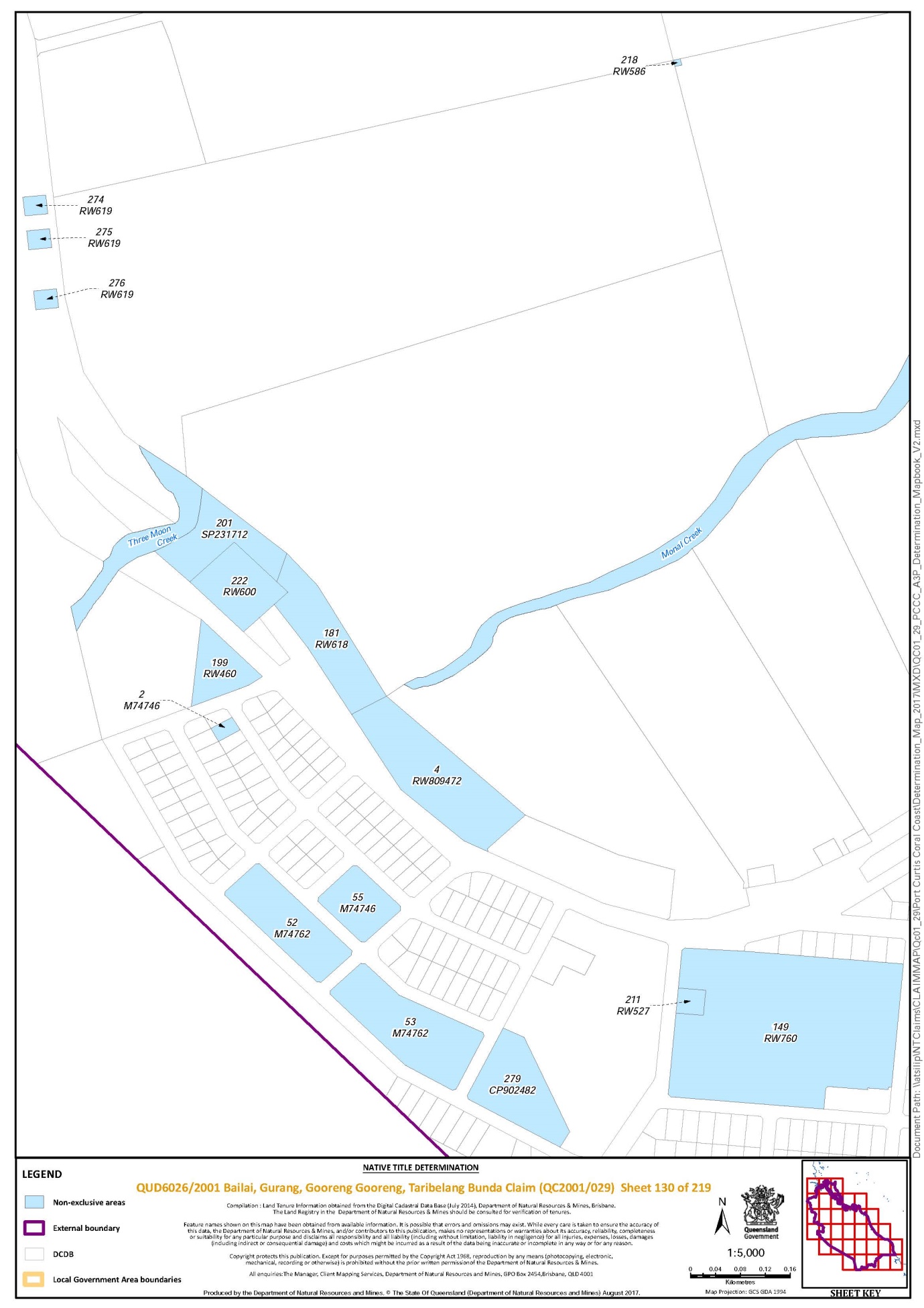
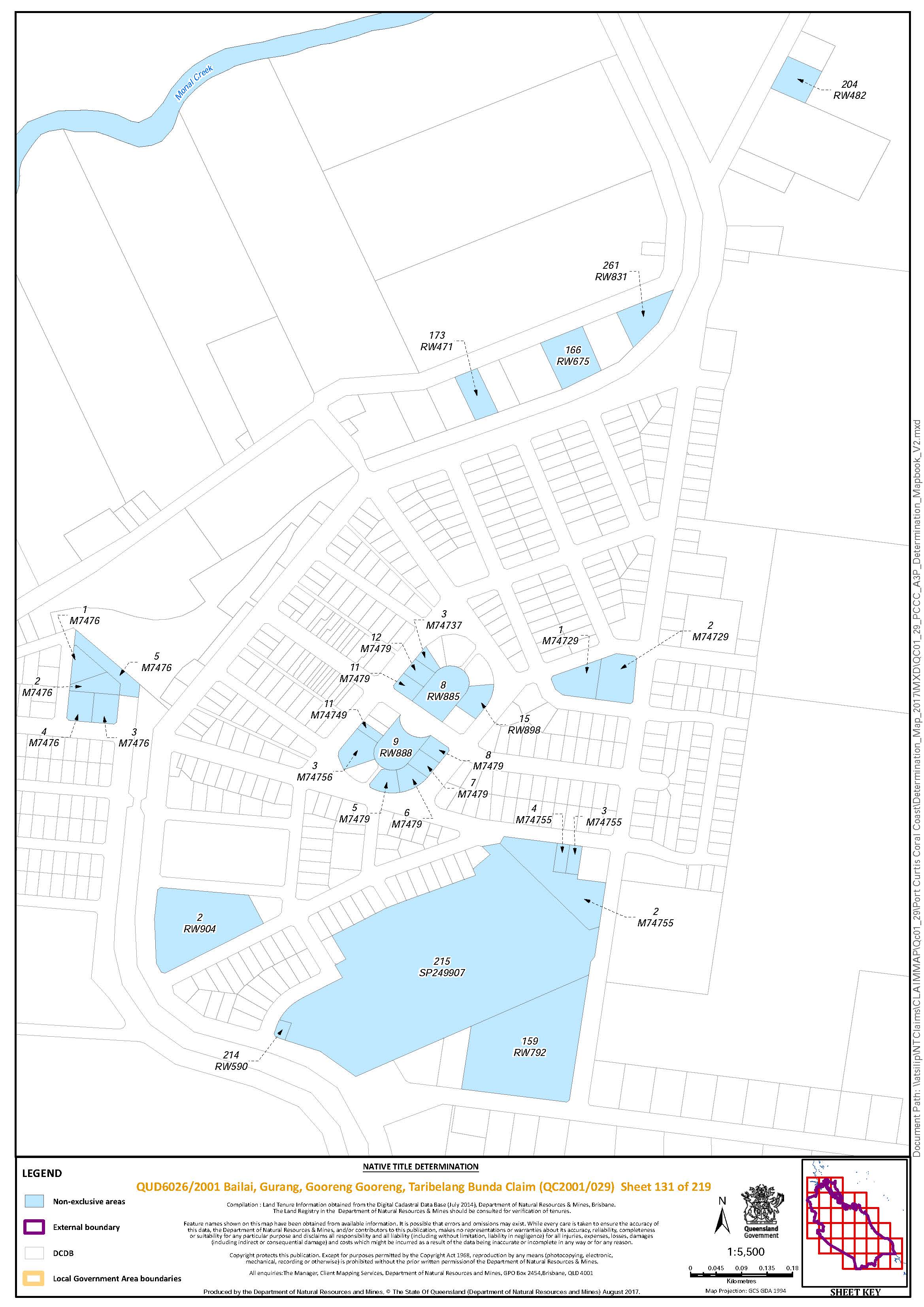
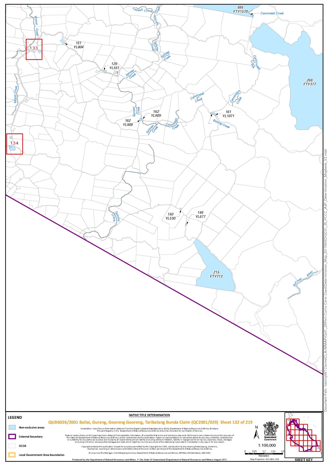
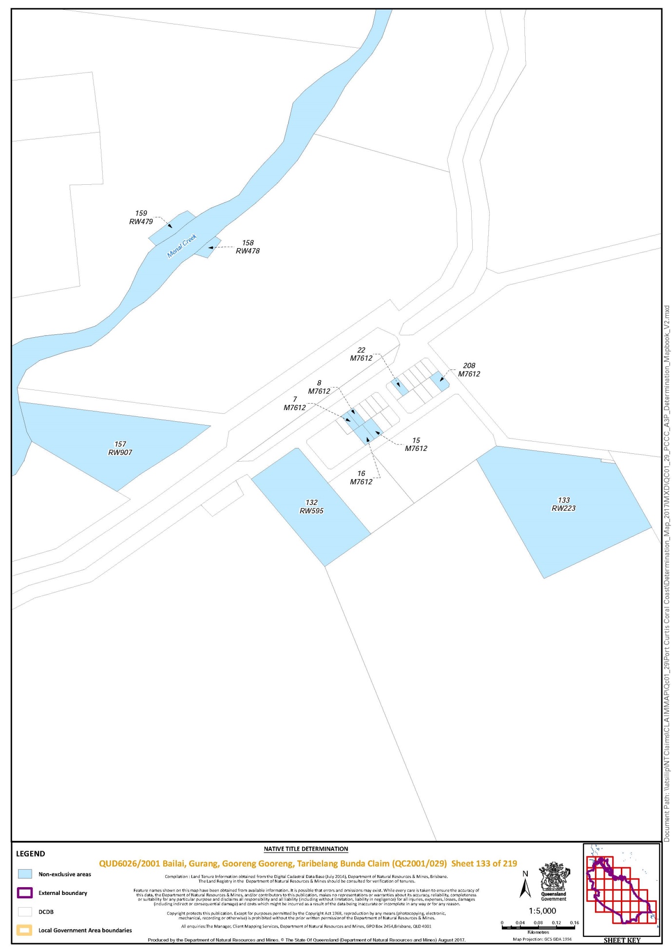
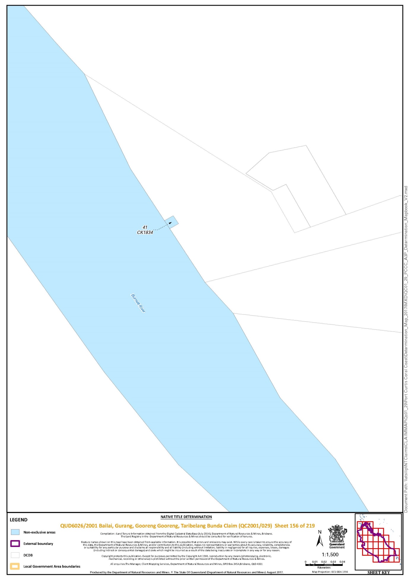
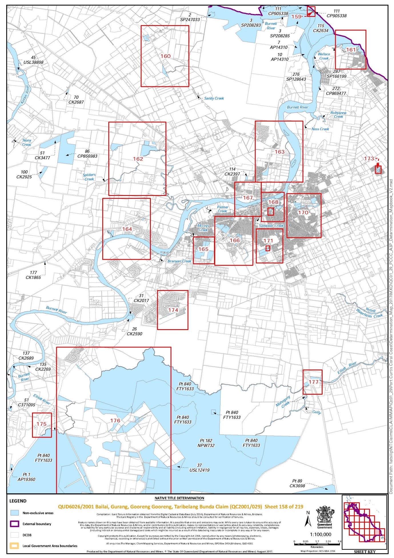
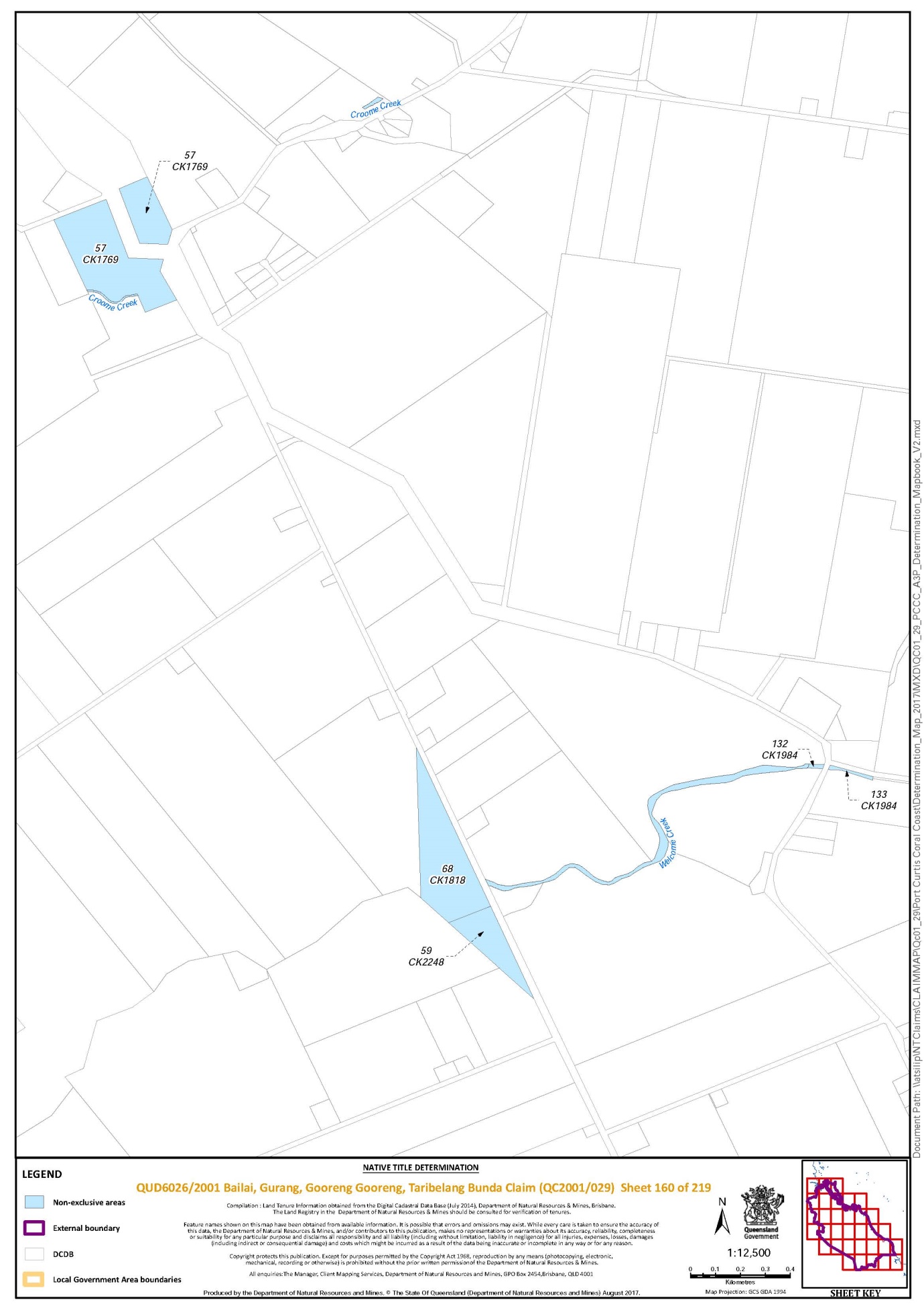
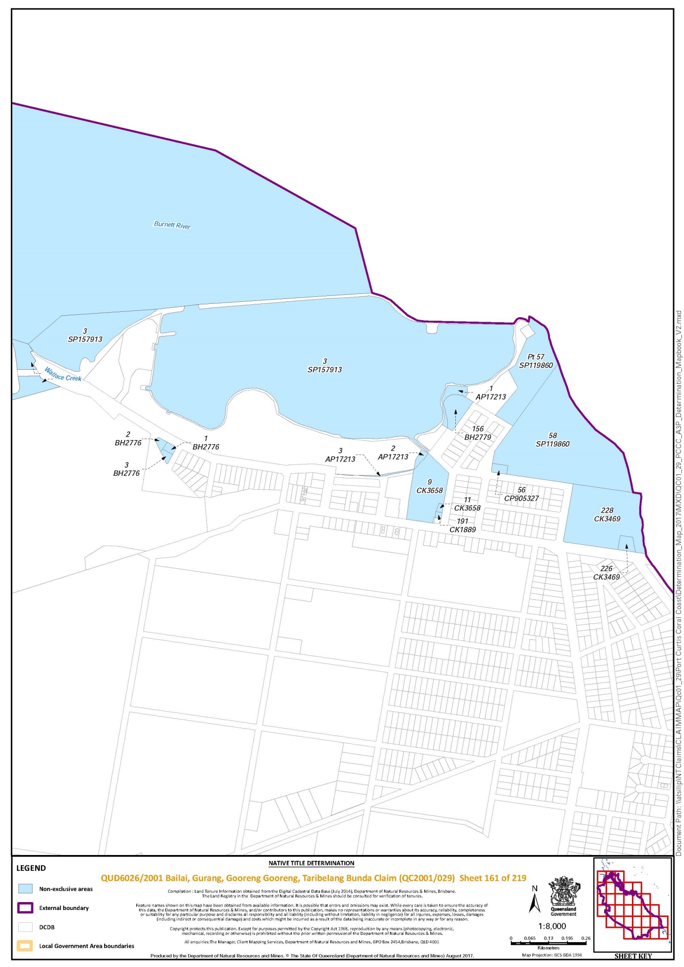
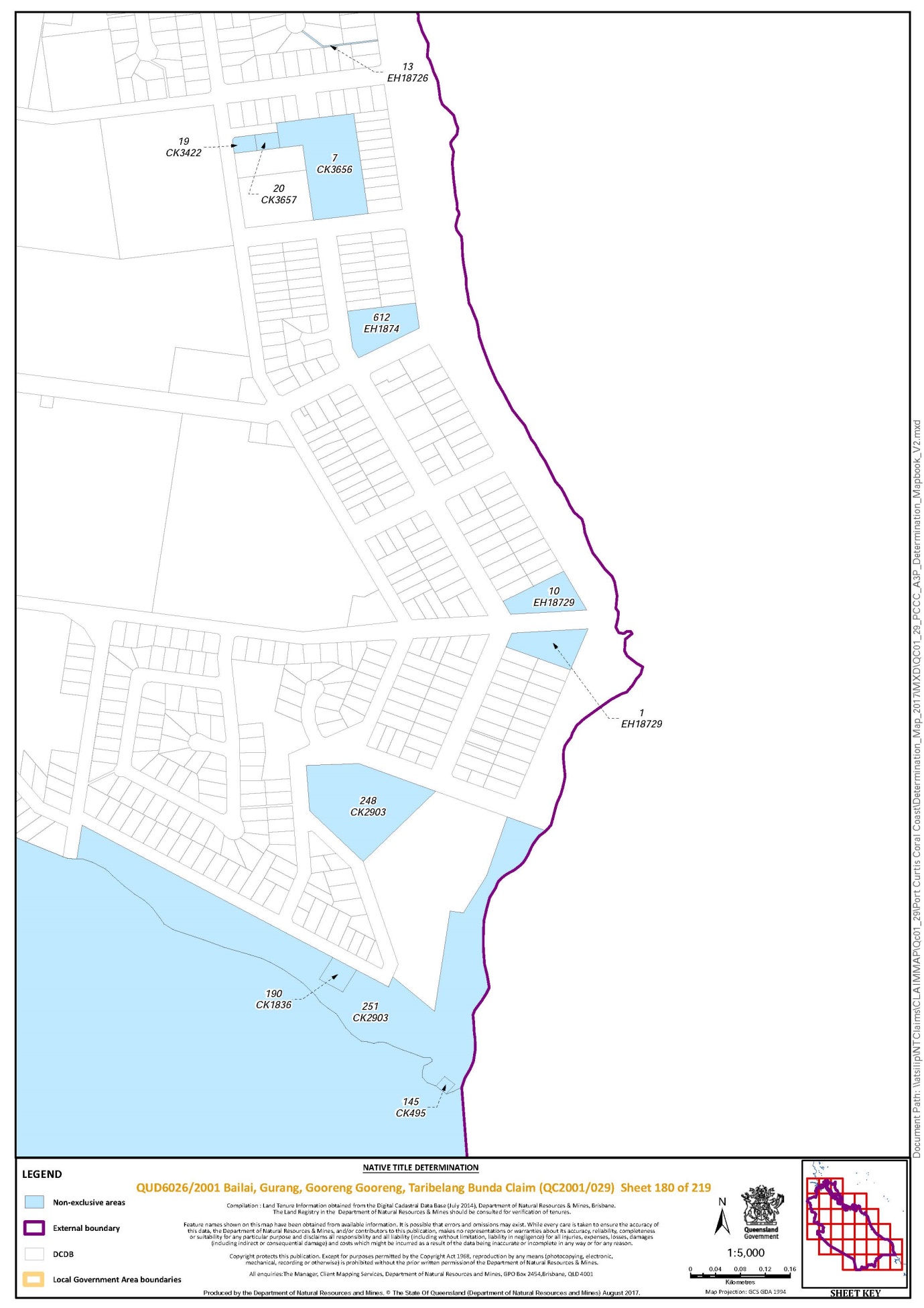
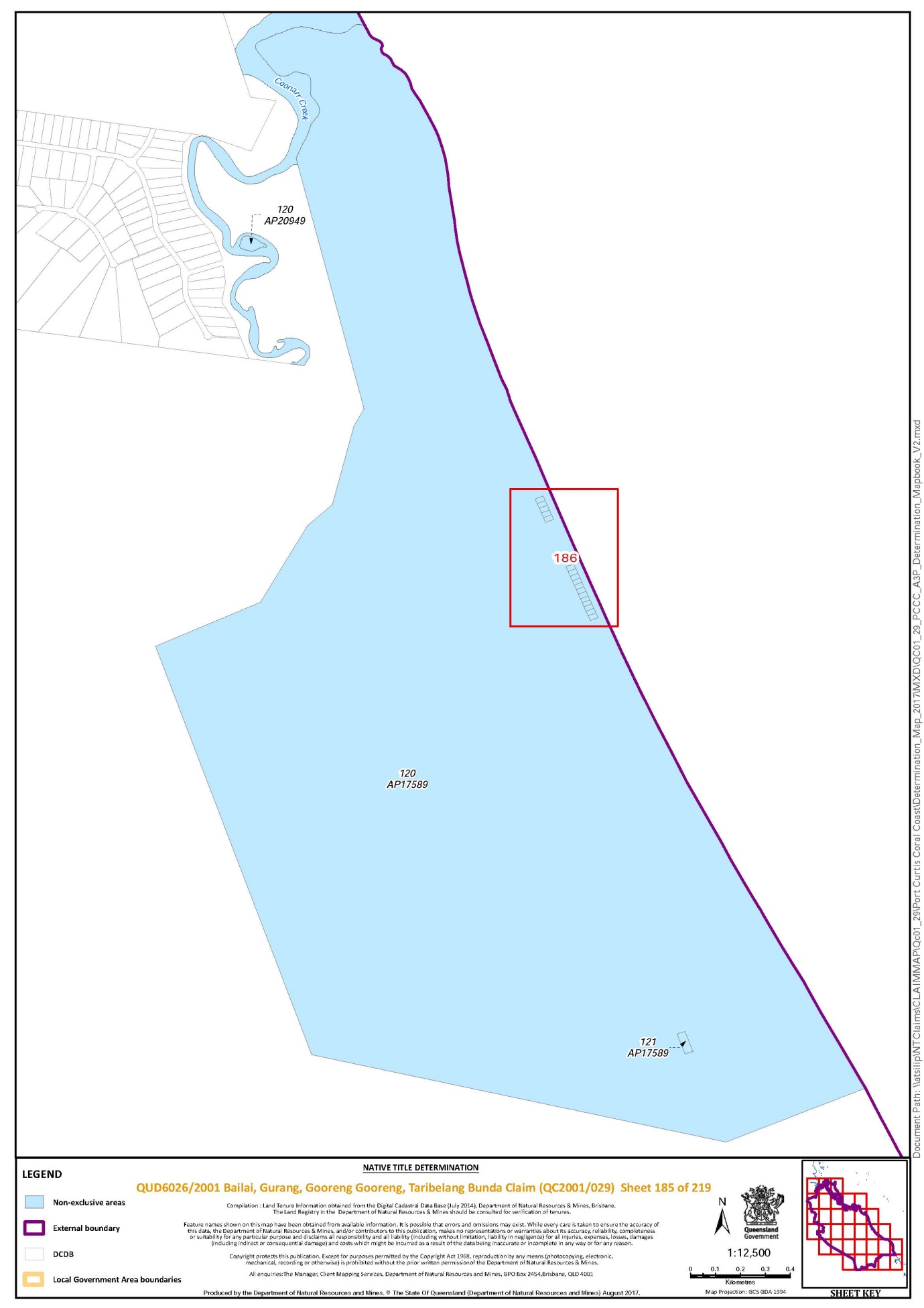
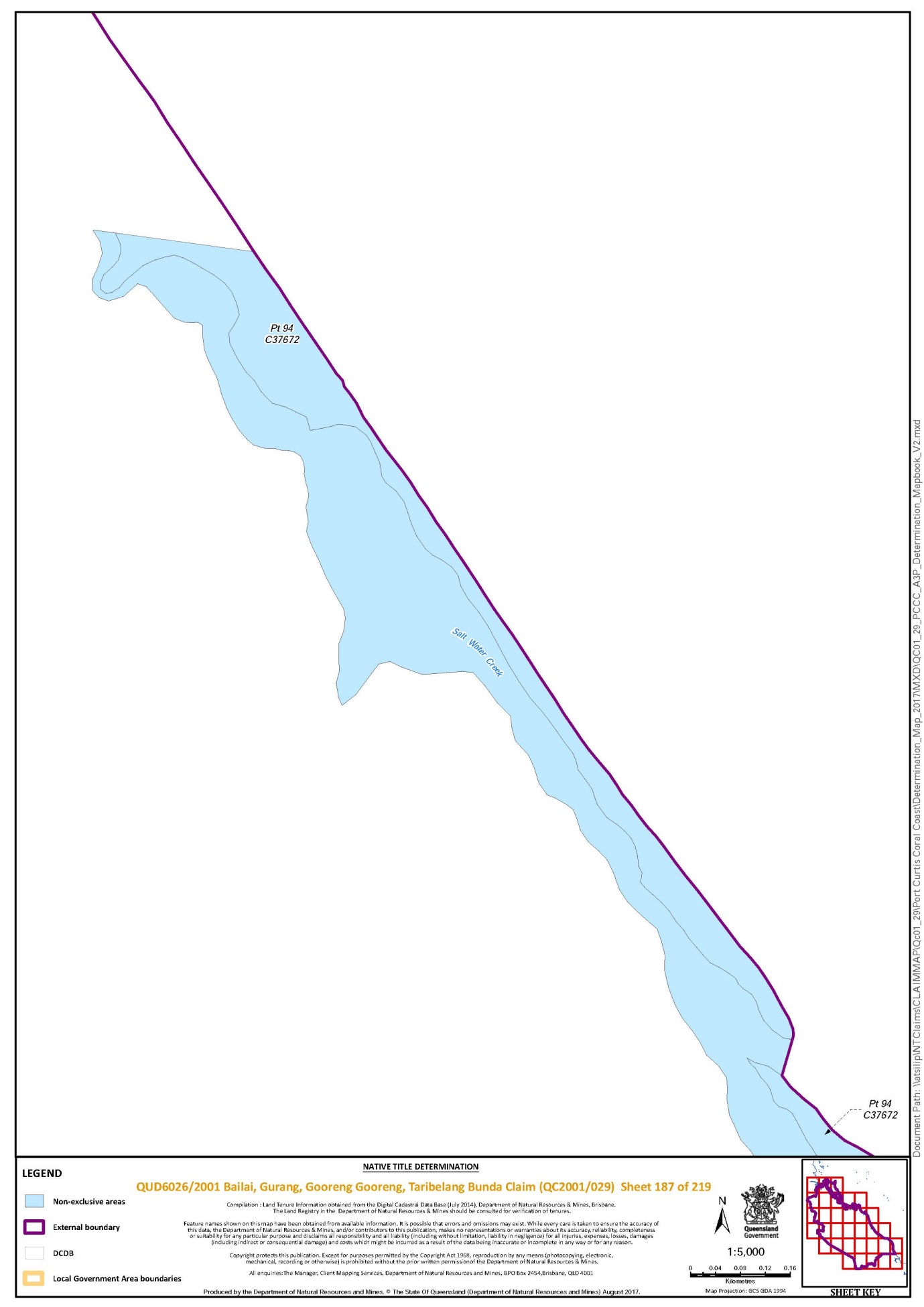
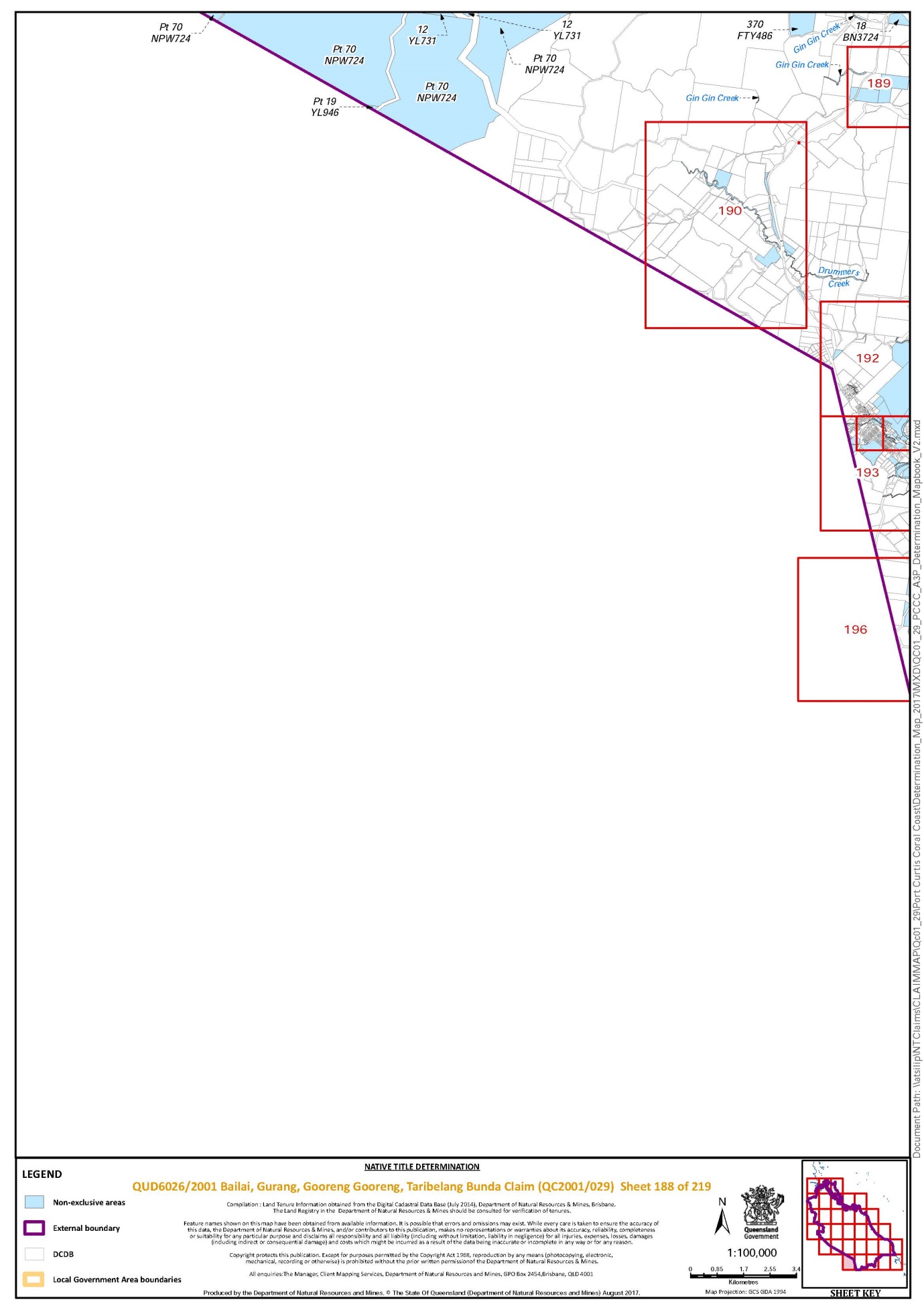
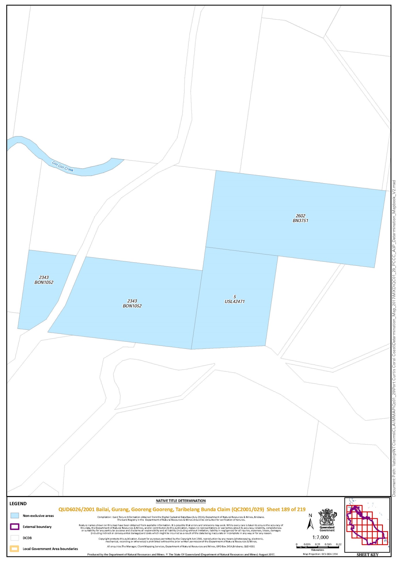
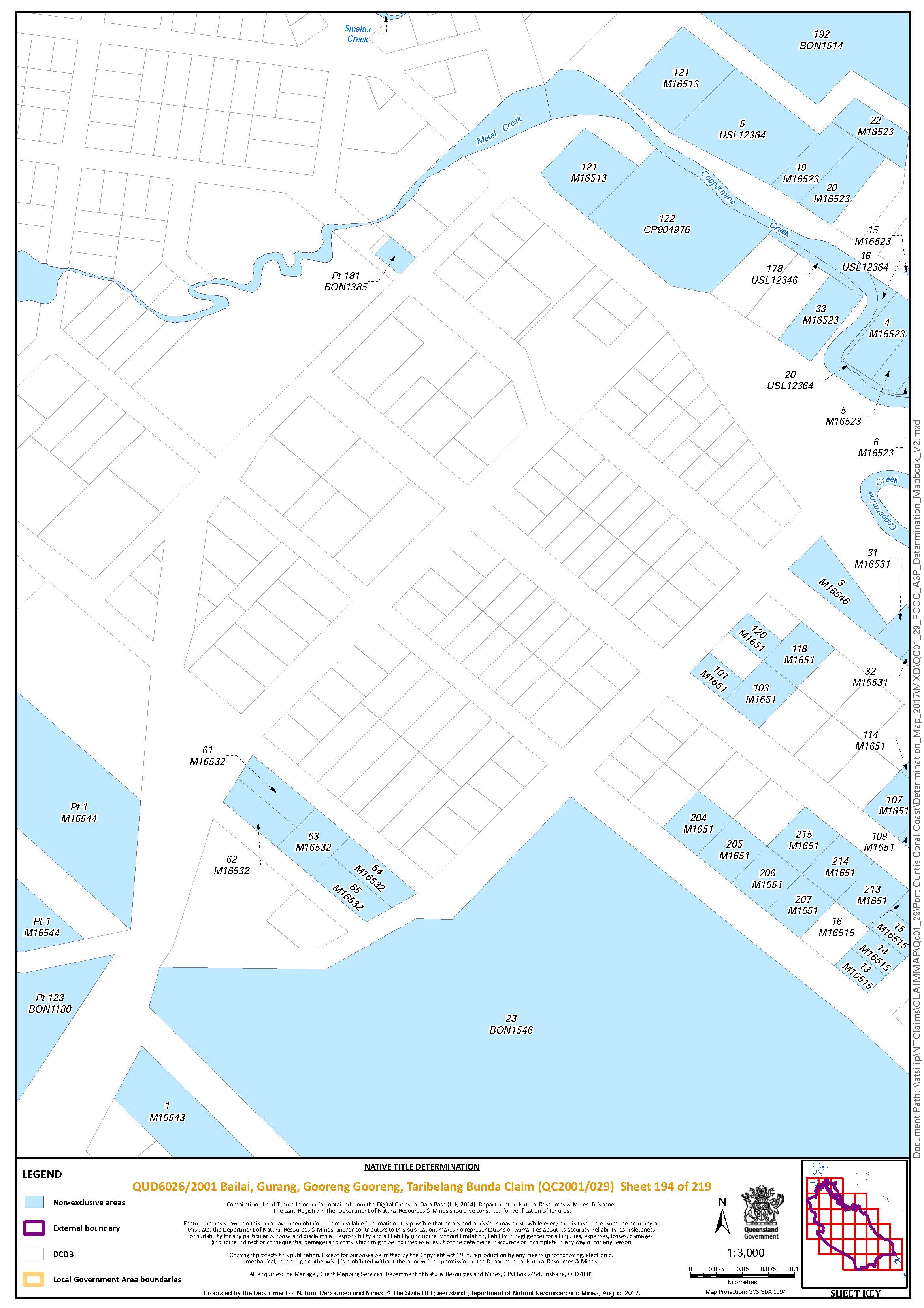
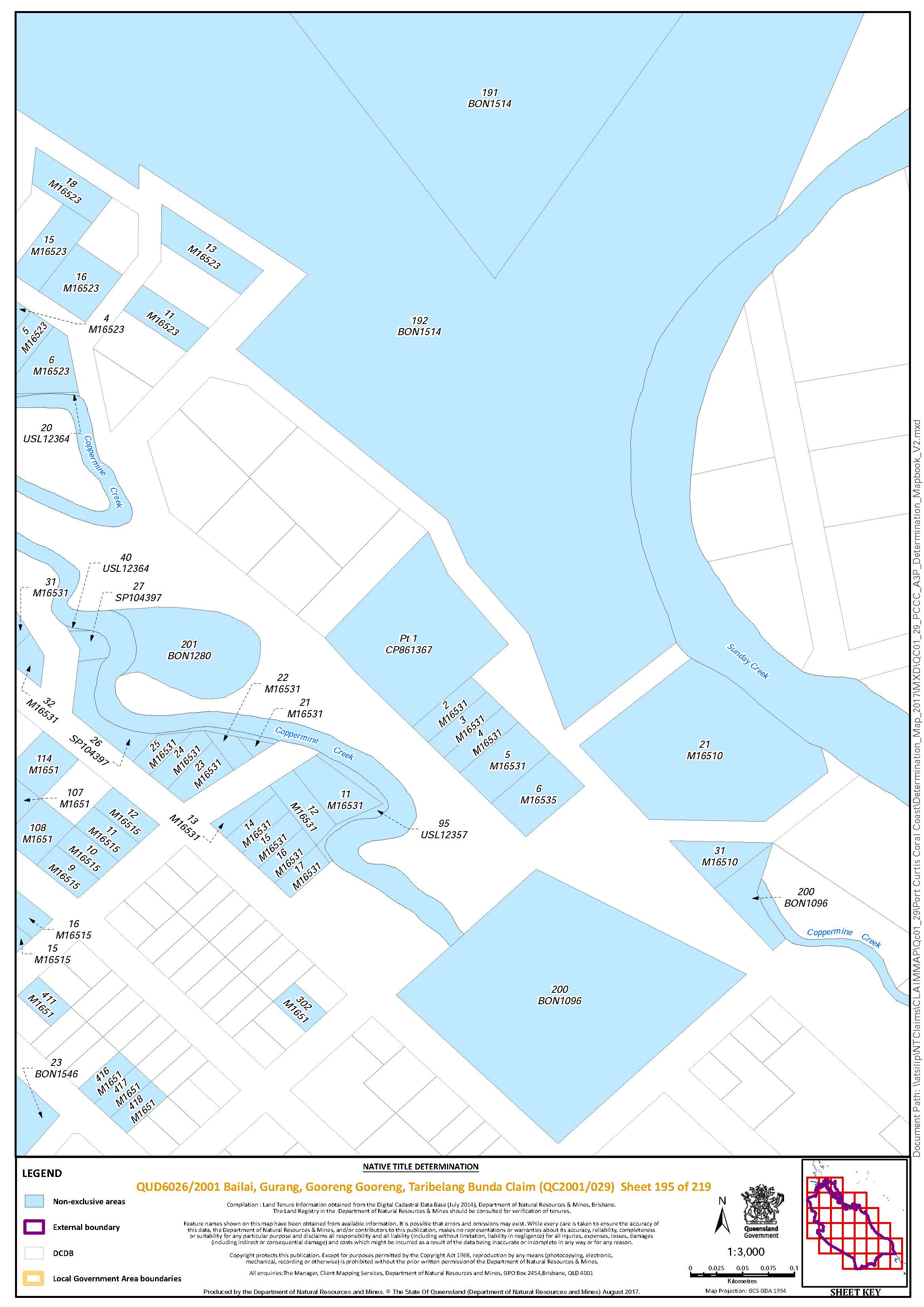
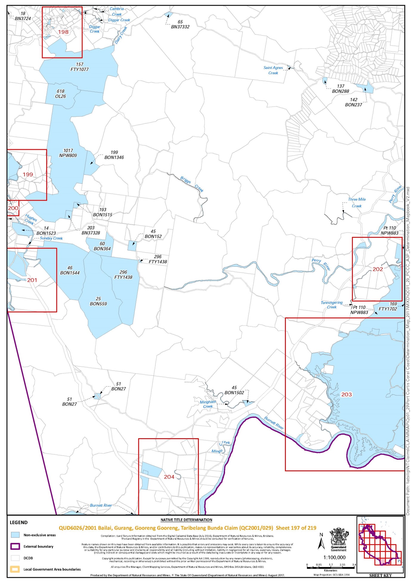
Schedule 3 — MAP


Schedule 4 — NATIVE TITLE HOLDERS
1. The native title holders are the Bailai, Gurang, Gooreng Gooreng, Taribelang Bunda People.
2. The Bailai, Gurang, Gooreng Gooreng, Taribelang Bunda People are the descendants of one or more of the following people:
(a) Dina;
(b) Jessie;
(c) Dolly (mother of Johnson Matemate and George Swain);
(d) Molly Jones;
(e) Dulhu/Doolan;
(f) Buller Tolsen (Norman Buller);
(g) Nellie Murray (also known as Nellie Watcho and Alice Murray);
(h) Jane;
(i) Betsy;
(j) Rosie;
(k) Maggie Little;
(l) Rosie Blackman;
(m) Emma Jones (wife of John Broom/e);
(n) John Hill (“Pig Pig”);
(o) Elizabeth Tan Watt/Daniels;
(p) Kitty of Gladstone; or
(q) Margaret Grant.
Schedule 5 — OTHER INTERESTS IN THE DETERMINATION AREA
The nature and extent of the other interests in relation to the Determination Area are the following as they exist as at the date of the determination:
1. The rights and interests of the parties under the following agreements lodged for registration on the Register of Indigenous Land Use Agreements:
(a) PCCC Protected Areas ILUA QIA2017/019, authorised on 17 September 2017 and signed on 10 November 2017;
(b) PCCC Tenure Resolution ILUA QIA2017/025, authorised on 17 September 2017 and signed on 10 November 2017;
(c) Bailai, Gurang, Gooreng Gooreng, and Taribelang Bunda People/Monte Christo ILUA, authorised on 17 September 2017 and signed on 26 September 2017.
2. The rights and interests of the parties under the following agreements registered on the Register of Indigenous Land Use Agreements:
(a) QIA2000/004 – The Raising of Awoonga Dam ILUA;
(b) QI2003/063 - Stuart Stage 2 Project ILUA;
(c) QI2005/029 - Port Curtis Coral Coast People Land Dealings;
(d) QI2006/051 – Enertrade – PCCC CQGP Agreement;
(e) QI2008/023 - PCCC Boyne Island and Tannum Sands Land Dealing ILUA;
(f) QI2010/009 - Port Curtis Coral Coast & QGC Pty Limited ILUA;
(g) QI2010/011 - Santos Petronas Port Curtis Coral Coast GLNG ILUA;
(h) QI2010/017 - Surat Gladstone Pipeline Pty Ltd and Port Curtis Coral Coast ILUA;
(i) QI2010/042 - Port Curtis Coral Coast and Australia Pacific LNG Pty Limited ILUA;
(j) QI2012/092 – Arrow Energy and Port Curtis Coral Coast People Arrow LNG Project ILUA;
(k) QI2014/026 - Gladstone, Rockhampton and Bundaberg Ports Project ILUA;
(l) QI2016/045 - Port Curtis Coral Coast People and Local Government ILUA.
3. The rights and interests of the holders of water allocations 623, 624, 637, 641 and 1505 on AP6975 granted pursuant to the Water Act 2000 (Qld).
4. The rights and interests of the holders of the following leases granted pursuant to the Land Act 1962 (Qld) or Land Act 1994 (Qld):
(a) pastoral holding lease No 35/3780 over Lot 9 on RN1607 (also known as Barmundoo);
(b) pastoral holding lease No 19/4176 over Lot 82 on CTN355 (also known as Dawes);
(c) pastoral holding lease No 19/4134 over Lot 4134 on PH1510 (also known as Glassford);
(d) term lease for grazing TL 0/237400 over Lot 21 on BON613;
(e) term lease for tourism TL 0/220087 over Lot 11 on CP860464 (also known as Monte Christo Tourist Resort);
(f) term lease for grazing and tourism TL 0/213279 over Lot 11 on SP257867 formerly part of Lot 4 on CP860403 (also known as the former Monte Christo Pastoral Station);
(g) term lease for grazing TL 0/231907 over Lot 6 on YL864;
(h) term lease for grazing TL 0/232732 over Lot 17 on RW903;
(i) term lease for grazing TL 0/230560 over Lot 22 on YL975 located within Lot 53 on NPW737;
(j) term lease for grazing TL 0/218782 over Lot 65 on BN37332;
(k) term lease for grazing TL 0/214061 over Lot B on SP104428 located within Lot 680 on FTY1906 and Lot 51 on NPW783;
(l) term lease for grazing TL 0/230531 over Lot J on SP104420 located within Lot 51 on NPW783;
(m) rolling term lease for grazing purposes TL 0/232515 over Lot A on DS627 located within Lot 60 on FTY1140;
(n) rolling term lease for pastoral purposes TL 0/237337 over Lot 1 on SP263705;
(o) special lease for telecommunications SL 35/53149 over Lot 1 on CTN839958 and Lot 2 on DS839959 (also known as the Mount Alma Radar).
5. The rights and interests of the holders of the following tenements granted pursuant to the Mineral Resources Act 1989 (Qld):
(a) exploration permit for minerals EPM13575;
(b) mineral development licence MDL179;
(c) mining leases ML3664 and ML7629.
6. The rights and interests of the holders of pipeline licences PPL25 and PPL30 granted pursuant to the Petroleum Act 1923 (Qld) and administered under the Petroleum and Gas (Production and Safety) Act 2004 (Qld).
7. The rights and interests of Airservices Australia in licences from registered lessees over Lot 15 on DS839959 and Lot 212 on NPW784.
8. The rights and interests of Ergon Energy Corporation ACN 087 646 062:
(a) as the owner or operator of any Works within the Determination Area;
(b) as a distribution entity and the holder of a distribution authority under the Electricity Act 1994 (Qld);
(c) created under the Electricity Act 1994 (Qld) and the Government Owned Corporations Act 1993 (Qld) including:
(i) rights in relation to any agreement relating to the Determination Area existing or entered into before the date on which these Orders are made;
(ii) rights to enter the Determination Area by its employees, agents or contractors to exercise any of the rights and interests referred to in this paragraph; and
(iii) to inspect, maintain and manage any Works in the Determination Area.
9. The rights and interests of Queensland Electricity Transmission Corporation Limited trading as Powerlink Queensland (ACN 078 849 233):
(a) as the owner or operator of any Works within the Determination Area;
(b) as an electricity entity under the Electricity Act 1994 (Qld) including rights to enter and pass through the Determination Area to access, use, maintain, repair, replace, upgrade or otherwise deal with Works; and
(c) under any lease, licence, easement, permit or agreement within the Determination Area.
10. The rights and interests of Telstra Corporation Limited (ACN 051 775 556):
(a) as the owner or operator of telecommunications facilities within the Determination Area;
(b) created pursuant to the Post and Telegraph Act 1901 (Cth), the Telecommunications Act 1975 (Cth), the Australian Telecommunications Corporation Act 1989 (Cth), the Telecommunications Act 1991 (Cth) and the Telecommunications Act 1997 (Cth), including rights:
(i) to inspect land;
(ii) to install and operate telecommunications facilities; and
(iii) to alter, remove, replace, maintain, repair and ensure the proper functioning of its telecommunications facilities;
(c) for its employees, agents or contractors to access its telecommunication facilities in and in the vicinity of the Determination Area in the performance of their duties; and
(d) under any lease, licence, access agreement or easement relating to its telecommunications facilities in the Determination Area.
11. The rights and interests of Bundaberg Regional Council, Gladstone Regional Council or North Burnett Regional Council ('Council'):
(a) under their local government jurisdiction and functions under the Local Government Act 2009 (Qld), under the Stock Route Management Act 2002 (Qld) and under any other legislation, for that part of the Determination Area within the area declared to be the Councils' local government area;
(b) as the:
(i) lessor under any leases which were validly entered into before the date on which these Orders are made and whether separately particularised in these Orders or not;
(ii) grantor of any licences or other rights and interests which were validly granted before the date on which these Orders are made and whether separately particularised in these Orders or not;
(iii) holder of any estate or interest in land, including as trustee of any Reserves, that exist in the Determination Area;
(c) as the owner and operator of infrastructure, and those facilities and other improvements located in the Determination Area validly constructed or established on before the date on which these Orders are made, including but not limited to:
(i) undedicated but constructed roads except for those not operated by Council;
(ii) gravel pits operated by Council;
(iii) water pipelines and water supply infrastructure;
(iv) drainage facilities;
(v) cemetery and cemetery-related facilities;
(vi) camping and holiday park facilities;
(vii) recreational facilities;
(d) to enter the land for the purposes described in paragraphs (a), (b) or (c) above by its employees, agents or contractors to:
(i) exercise any of the rights referred to in paragraph 12 below;
(ii) inspect maintain and repair the infrastructure, facilities and other improvements referred to in paragraph (c) above;
(iii) undertake lawful operational activities in its capacity as local government such as feral animal control, weed control, erosion control, waste management and fire management.
12. The rights and interests of the State of Queensland and the Council to access, use, operate, maintain and control the dedicated roads in the Determination Area and the rights and interests of members of the public to access and use those roads.
13. The rights and interests of the State of Queensland or any other person existing by reason of the force and operation of the laws of the State of Queensland, including those existing by reason of the following legislation or any regulation, statutory instrument, declaration, plan, authority, permit, lease or licence made, granted, issued or entered into under that legislation:
(a) Land Act 1994 (Qld);
(b) Nature Conservation Act 1992 (Qld);
(c) Forestry Act 1959 (Qld);
(d) Fisheries Act 1994 (Qld);
(e) Water Act 2000 (Qld);
(f) Petroleum Act 1923 (Qld) or Petroleum and Gas (Production and Safety) Act 2004 (Qld); and
(g) Mineral Resources Act 1989 (Qld).
14. The rights and interests of members of the public arising under the common law, including but not limited to the following:
(a) any subsisting public right to fish; and
(b) the public right to navigate.
15. So far as confirmed pursuant to s 212(2) of the Native Title Act 1993 (Cth) and s 18 of the Native Title (Queensland) Act 1993 (Qld) as at the date of this Determination, any existing public access to, and enjoyment of, the following places in the Determination Area:
(a) waterways;
(b) beds, banks or foreshores of waterways;
(c) coastal waters;
(d) beaches;
(e) stock routes; and
(f) areas that were public places at the end of 31 December 1993.
16. Any other rights and interests:
(a) held by the State of Queensland or Commonwealth of Australia; or
(b) existing by reason of the force and operation of the Laws of the State and the Commonwealth.
Schedule 6 — EXERCISE OF NATIVE TITLE ON PASTORAL LEASES
1. Before the native title rights and interests referred to in paragraph (8) of the determination are exercised on Certain Pastoral Leases:
(a) the lessee of each pastoral lease situated wholly or partly within the Determination Area (a “Lessee”) must provide the Lessee’s contact details comprising of at least a phone number and email address (the “Lessee’s Contact Details”) to the contact person for the First Nations Bailai, Gurang, Gooreng Gooreng, Taribelang Bunda Aboriginal Corporation ICN 8650 identified in the corporation extract available from the Office of the Registrar of Indigenous Corporations (the “PCCC Contact Person”) within sixty days of the date of determination;
(b) the native title holders, or PCCC Contact Person must:
(i) provide at least seven days prior notice to a Lessee (by way of the Lessee’s Contact Details) of the native title holders’ intention to exercise their native title rights and interests on the Lessee’s pastoral lease; and
(ii) contact the Lessee by phone or email to:
(A) discuss any safety issues associated with the proposed exercise of native title rights and interests; and
(B) agree upon a suitable route of access.
2. When the native title right to hunt (referred to in paragraph (8)(c) of the determination) is intended to be conducted on a pastoral lease using firearms, it may only be exercised:
(a) in areas where stock are not present; and for the avoidance of doubt,
(b) if paragraph (1)(b) above, has been satisfied.
3. When the native title right to maintain and protect places of importance and areas of significance (referred to in paragraph (8)(h) of the determination) is intended to involve the erection of a structure to protect a place or area on a pastoral lease from physical harm, it may only be exercised if:
(a) the structure will not materially impact on activities permitted or required by the pastoral lease; and, for the avoidance of doubt,
(b) if paragraph (1)(b) above has been satisfied.
4. Provided that a native title holder has complied with or is prepared to comply with paragraphs (1) to (3) above, a Lessee shall not unreasonably withhold consent or refuse a request by a native title holder to exercise the native title rights and interests referred to in paragraph (8) of the determination.
5. The native title holders will not exercise the native title rights and interests referred to in paragraph (8) of the determination in respect of any land or waters on which permanent improvements consisting of:
(a) a homestead, house, shed or other building;
(b) an airstrip;
(c) a constructed dam or other constructed stock watering point, bore, turkey nest, squatter’s tank or other water storage facility; or
(d) stock yards and trap yards,
have, at the date of the determination, been constructed (including adjacent land or waters, the use of which is necessary for, or incidental to, the construction, establishment or use of the permanent improvements) in accordance with the rights of a Lessee under, and within the boundaries of a pastoral lease.
6. In this Schedule:
(a) “firearm” has the same meaning as in the Weapons Act 1990 (Qld);
(b) “stock” has the same meaning as in the Stock Act 1915 (Qld).
DOWSETT J:
INTRODUCTION
1 Between 1997 and 1999 five separate applications were made, seeking native title determinations over various parts of the area comprising the cities of Bundaberg and Gladstone and surrounding districts. Claims were made on behalf of the Bailai, Gurang, Gooreng Gooreng and Taribelang Bunda Peoples. On 17 August 2001, Drummond J made orders combining the five separate applications. The current applicant seeks a determination that native title exists over an area which stretches from the Burnett River watershed in the south to the lower Fitzroy River in the north, and from the high water mark on the adjacent coastline in the east to the foothills of the Great Dividing Range in the west. The claim area includes the coastal towns of 1770, Bargara Beach and Agnes Waters, the inland towns of Gin Gin and Miriam Vale and Curtis, Facing and Balaclava Islands.
2 On 28 August 2017 the application was amended so that its title reflects the names of the claimant groups which brought the five original applications. The amended application is brought by Kerry Blackman, Dean Sarra, Lurleen Blackman, Richard Johnson, Nathaniel Minniecon, Matthew Cooke and Neville Johnson for and on behalf of the Bailai, Gurang, Gooreng Gooreng, Taribelang Bunda People.
3 The respondents to the application include the State of Queensland, the Bundaberg Regional Council, the Gladstone Regional Council, the North Burnett Regional Council, Ergon Energy, Telstra Corporation, Air Services Australia and a number of mining companies, sugarcane farmers and pastoralists.
4 Pursuant to s 13 and Parts 3 and 4 of the Native Title Act 1993 (Cth) (“the Act”), the Court may make determinations concerning native title in relation to areas over which there is no existing approved determination. The proposed determination area is not subject to any overlapping or competing claims or determinations.
5 The Bundaberg/Gladstone region has been, since early in the history of European settlement, of significant economic importance to Queensland. That significance has led to many difficulties in these proceedings, arising substantially out of the large number of relatively small freehold grants in the claim area. The State Government and the applicant, together with the relevant local authorities have had to deal with many quite complex issues. The problems have been dealt with efficiently and with a willingness to adopt innovative methods. I congratulate all parties for finally bringing these long-running proceedings to a satisfactory conclusion.
THE CLAIM GROUP DESCRIPTION
6 The native title claim group are those persons who are identified as all of the descendants of:
Dina;
Jessie;
Dolly (mother of Johnson Matemate and George Swain);
Molly Jones;
Dulhu/Doolan;
Buller Tolsen (Norman Butler);
Nellie Murray (also known as Nellie Watcho and Alice Murray);
Jane;
Betsy;
Rosie;
Maggie Little;
Rosie Blackman;
Emma Jones (wife of John Broom/e);
John Hill (“Pig Pig”);
Elizabeth Tan Watt/Daniels;
Kitty of Gladstone; and
Margaret Grant.
7 There is extensive evidence in support of the application. The evidence of 29 members of the claim group demonstrates their continuity of connection and the exercise of their rights and interests in the claim area. The applicant has filed 15 expert reports by Mr Michael Southon. The State of Queensland has filed three reports by Dr Anna Kenny and a report by Professor Peter Sutton.
8 The experts’ material provides an overview of the anthropology, genealogy and history of the Bailai, Gurang, Gooreng Gooreng, Taribelang Bunda People. Mr Southon and Dr Kenny are agreed that there were, at sovereignty, five groups, known by various names, which comprised a society for native title purposes. Those groups were:
the Bailai/Byellee/Narung/Oorambul/Baiali who were associated, generally, with Curtis Island, Keppel Bay, the Calliope River, at the mouth of the Fitzroy River and Gladstone;
the Koreng Koreng/Gurang Gurang/Kureng Gureng who were associated with the upper Burnett River, the area about Miriam Vale and along Baffle Creek to the coast;
the Meroonie/Goeng who were associated with the area between Port Curtis and Baffle Creek;
the Toolooa/Tulua who were associated with the watershed of the Boyne River generally between the Boyne and Calliope Rivers; and
the Taribelung/Taribelang/Goonine/Youngkono/Darpil who were associated with the Bundaberg area and the lower Burnett River.
9 Mr Southon and Dr Kenny agree that these groups formed part of a regional society, also including the Wakka Wakka, Kabi Kabi, Butchulla and Darumbal Peoples.
10 Dr Southon, at page 93 of his Expert Anthropological Report No 1 refers to the work of Ms Averil Ginn and Mr Mark Winters who opined that the claimant group comprises a number of land-holding groups made up of one or more descent groups and that in pre-contact times, “these land-holding groups would probably have been what anthropologists refer to as ‘patrilineal clans’”. They note that in the post-contact era, as elsewhere in settled parts of Australia, the boundaries of these old clan estates have become blurred or disappeared and that, “those former clan estates are now effectively amalgamated into one broad socio-territorial region”.
FIRST EUROPEAN CONTACT
11 Much of the following history is derived from Mr Michael Southon’s report dated September 2010.
12 The first recorded European contact with the area was in May 1770 when Captain James Cook anchored in Bustard Bay. Some 32 years later, in August 1802, Matthew Flinders landed in, and named Port Curtis. He was followed in 1823 by John Oxley.
13 At paras 19-26 of his report, Mr Southon records:
19. In 1823 John Oxley visited the Port Curtis area to examine its potential as a port. Oxley’s visit was followed by Captain Stanley who, in October 1847, conducted a survey of the route through the northern Great Barrier Reef and made landfall to examine and report upon the situation at Port Curtis where a party of eighty-eight had attempted to found a new colony in January of the same year ... .
20. In 1846, Captain Samuel Perry, with E.C. Burnett as his assistant, mounted an expedition to find a suitable route from Brisbane to the uncharted River Boyne ... .
21. Major de Winton commanded the first military detachment sent to the new Port Curtis settlement in 1847. He encountered two Europeans who “had been sent from Facing Island to sink for water on the mainland” but “were in deadly fear of the natives, whom they had seen assembling in great numbers near where they were to work” ... .
22. In about 1852 Frederick Blackman left Maryborough for Port Curtis, leading a prospecting party to the Calliope River ‘about one hundred miles past the then farthest station to the North on the coast line’ ... .
23. In July 1847 E.C. Burnett explored the Boyne River, reporting that he saw:
nothing of the black up the rivers, but they came up to us at almost every place we landed on the coast, and were all friendly; but I took great care that they should have as few opportunities a possible of being otherwise ... They brought us fish when they had any, for which they got a liberal supply of flour or biscuit in exchange, and I distributed a few red shirts and cotton handkerchiefs among them’ ... .
24. Alexander Walker, who had been employed on Gigoomgan Station, set out to explore the lower reaches of Burnett River in the late 1850s. In an 1861 article he noted “considerable difficulties were met with, privations endured, and no little danger incurred, the blacks at the time being very troublesome” ... .
25. Ginn and Winters note that by the early 1850s, the first pastoralists began to stake out “vast holdings in the Wide Bay, Burnett and Port Curtis Districts” (Ginn and Winters 2007:13). In 1854 Sir Maurice O'Connell, police magistrate and government resident at Port Curtis, reported that there were as few as 20 Europeans but as many as 900 horses, 13,300 head of cattle and 200,000 sheep in the Port Curtis district alone ... .
26. Blaxland and Forster brought 30,000 sheep and 800 head of cattle into the Burnett District from the Clarence River in 1847 (Ginn and Winters 2007:13), while James and Norman Leith had, by 1855, driven 40,000 sheep over the Great Dividing Range to occupy country on the outskirts of Port Curtis (Kidd 2007:3). F. A. Sherman reports that by 1857, Arthur Chauvel and Joseph Sharp had stocked Miriam Vale station with 20,000 head of sheep ... .
14 It is probable that traditional law and custom continued unaffected by European contact until the early 1850s when the pastoralists arrived. Sadly, as was common, such arrival had harsh consequences for the indigenous people. Quoting Ginn and Winters, Mr Southon observes that:
The problem for Aboriginal people was probably not the settlers themselves for as it has been recorded by the early explorers Aboriginal people were generally friendly towards them; the problem was the enormous numbers of livestock accompanying the settlers. The settlers were arriving with so many sheep, horses and cattle they were like a plague upon the earth eating everything in their path. In no other part of the country were settlers accompanied by an army of animals. In the early days of settlement elsewhere livestock had to be shipped from England to the colony which meant only a limited number could be brought out at the one time ... .
15 At para 30 of his No 2 Report Mr Southon further quotes Ginn and Winters as follows:
O'Sullivan (1995) in her analysis of the murder by Aborigines of the Pegg brothers and Gregory Blaxland suggests that loss of habitat was the motivating force that led the Aboriginal people to kill the Peggs and Blaxland. O'Sullivan says, “little imagination is needed to measure the effect of sheep on pasture, water and [Aboriginal] land use” (O'Sullivan 1995:5). Sheep management added to the crisis as sheep were washed before they were shorn. Three Moon Creek near Monto got its name as a way of instructing the Aboriginal sheep washers to come back to the creek in three months' time for the next job (Kidd 2007:35). The Little family who took up the Rosedale lease in 1853 built their homestead on Washpool Creek so named because the sheep were washed there. The Little's homestead was not far from a lagoon which covered 75 acres and was abundant with waterfowl. The Dulule corroboree ground was on a nearby hill. Washpool Creek drains into the lagoon which meant the lanolin from the wool, the substance used to wash the wool and the droppings from the sheep all ended up in the lagoon. It was reported that Dulule blacks were roaming the area sullen and hostile but were kept at a safe distance by gunfire. A guard was kept on the sheep at all times, and the men slept with their fire arms within easy reach.
16 At paras 47-53 Mr Southon said:
47. Aboriginal labour presented a number of clear advantages to the early cattle industry:
The Aborigines were astute animal ethnologists, knowledgeable about the land, and its seasonal variations. Once Aboriginal skills in riding were developed, the contribution of men (and women) was a key factor in successful pastoral management ... .
48. One of the Aboriginal skills that would be vital to the success of the early pastoral industry was tracking:
Traditional hunting skills were highly adaptable to the pioneer cattle industry. One of the squatter’s most difficult jobs was keeping cattle on the unfenced properties, particularly in the early days when leaders would often try to make their way back to their original habitat. Aboriginal knowledge of the country and traditional skills were invaluable in the time-consuming task of tracking stray cattle. On those stations with rough country and no fencing, it was acknowledged that ‘every good stockman mustering this part of the run had to be a good tracker’ ... .
49. If the cattle station was located in the traditional estate of the Aboriginal stockmen it employed, there was the additional advantage that the station’s Aboriginal workers had a long-term commitment to the area:
Another advantage of Aboriginal labour which squatters may not have appreciated at the time was the fact that local blacks had a spiritual link with the land. Regardless of conditions, if the station was located at the site of the group’s ancestral spirits, it would be the desire of the fully-initiated men to spend a considerable amount of time in the territory to maintain these sites ... .
50. But perhaps the most important advantage for the white pastoralists was that Aboriginal labour was cheap. In the last decades of the 19th century Aborigines working on pastoral stations were not paid in money but in kind, usually food and tobacco and occasionally clothes and blankets. Taking into account the cost of this payment-in-kind, four Aborigines could be employed for the same cost as one European ... . But quite apart from the cheapness of Aboriginal labour, it was simply not possible to attract European workers to such remote areas in the numbers required to effectively run the pastoral stations.
51. Most pastoralists did not regard their Aboriginal employees’ dependants, living in camps a kilometre or so from the homestead, as their responsibility. Thus the families of Aboriginal station workers would still have depended on traditional subsistence for their survival.
52. Indeed, Anderson has argued that it was in the interests of early pastoralists “to see that the traditional mode (of production) was retained to ensure a pool of cheap labour ... ” ... .
53. Thus for the ancestors of [Bailai, Gurang, Gooreng Gooreng, Taribelang Bunda People] claimants, working on cattle stations allowed the continuation of most aspects of traditional law and custom, and in particular their traditional subsistence through hunting, fishing and gathering.
17 This passage offers the most detailed description that I have read concerning the contribution of indigenous Australians to the founding of the economy of a nationally important region. It cannot be doubted that Australia’s early and continuing economic strength has depended very much on our indigenous people.
18 Concerning the traditional laws and customs of the indigenous people in the claim area at, and from first European contact, Mr Southon makes a number of points at paras 141-159 as follows:
141. From the testimony of present-day claimants we know that hunting, fishing and gathering, with some traditional attributes such as knowledge of Gooreng-Gooreng names for flora and fauna has persisted into the fourth and fifth generations. Some of the traditional practices surrounding hunting and fishing bear marked similarities to practices described from the claim area by early Europeans.
142. As a child, Connie Johnson remembers catching possums at night with her father, using snares. This was almost certainly a continuation of a practice that the Protector of Aborigines recorded in 1910:
At Eidsvold there were about 20 natives, including 9 half-caste women and 4 little half-caste girls. Most of the people were away snaring opossums &c; and many of them find casual employment on the station in the off season. Two old women are in receipt of rations from the Government' — 4 half-caste women and their children were removed ... .
143. Nat Minniecon said that traditionally much of the hunting was done with nets: “in the old times they used nets for fishing, catching kangaroos, catching birds, they would put the net in a tree, and they would also use it to catch possum and porcupine”. This account is markedly similar to A. J. Jeffery’s late 19th century description of hunting methods in the claim area, and again indicates continuity with the past:
During the day nets were set in the roosting trees of birds and the flock were surprised at night and a returning boomerang thrown among those that escaped. Decoys were used to bring emus closer and nets and traps set along scrub tracks for the scrub turkey ... .
144. Lindsay Collins described the technique they used to prepare porcupines for cooking and how it had evolved from an earlier method:
we used to clean off the quills with an axe, burning them and then scraping them, and then later we started using knives, and now we just put them in hot water ... we always used to put water on the quills first and then put them in the fire and that sort of softened them
145. Continuity with past custom can also be seen in Nat and Merle Minniecon’s statement about cast nets: “we still make cast nets, out of nylon instead of vines”. Another example of continuity of law and custom relates to the bunya nut festival. The bunya net festival was well documented by early Europeans in the claim area, one example being the recollections of R. Bushell, writing in 1930:
In 1860 - yes plenty of [blacks], and they would come in mobs from all parts of the Burnett and Wide Bay, and even the Dawson, making off to the big Bunya Bunya, that was every three years. Travelling in big mobs, stopping two to three days at a time in one camp especially at a station, and they always had a new corroboree and gave it full swing at night ... .
146. Nat and Merle Minniecon, probably referring to the first decades of the 20th century, said that the people who were sent to Woorabinda “would walk from Woorabinda to the Bunya Nut Festival in the Bunya Mountains, and they would go back to Woorabinda through Lowmead and do ceremonies there”.
147. Maxine Thompson recalled that “grandad Hill used to say that when you're sick you should dig a hole in the sand and get the heat (from the sand) into your body”. This practice bears remarkable similarities with the following description by Herbert Bloxome, who was born in 1876 and settled at Mundubbera, and is another example of continuity of law and custom:
An old blackfellow told me how they treated a patient [for fever] in this district. They made a huge fire on the ground, a little larger than a man's body, and when this burnt down they brushed all the coals away and covered the spot with green leaves on which the patient was laid wrapped in an opossum rug ... .
148. Membership in local land-holding groups in the claim area was almost certainly patrilineal, as argued in section 3.4.2 of the Stage 1 report. Today, membership in the claim group is cognatic (reckoned through either the male or female line). This change in the way people affiliate with country has been an adaptation to post- contact circumstances.
149. Firstly, in the decades following arrival of the first pastoralists, people were forced to find work wherever it was available, and would often have found themselves living outside the specific tract of country associated with their patriclan. As Ginn and Winters argue, in the post-contact era, the estates of the local patriclans became blurred in definition or disappeared and the estates and the groups that formerly owned them have now become “amalgamated into one broad socio-territorial region” ... .
150. Secondly, as Ginn and Winters also note, there was a marked tendency for Aboriginal women in the claim area to have children with non-Aboriginal fathers:
For Aboriginal people the consequences of this influx of strangers, mainly men, and, concomitantly their land tenure system, were immense. Aboriginal women became the sexual partners of the immigrants either willingly or unwillingly. This phenomenon can be quite clearly chartered in the upper generations of the land-holding group in the Port Curtis Coral Coast native title claim area where the significant forebear of nearly every descent group is a woman whose first child is fathered by a non-Aboriginal man ... .
151. The children of such marriages could obviously not affiliate with their father’s country, as he was either a European or South Sea Islander, and were therefore forced to affiliate with their mother’s country. This contributed to the current situation where [Bailai, Gurang, Gooreng Gooreng, Taribelang Bunda] people affiliate with country on the basis of cognatic descent, through either the female or the male line.
152. Belief in and respect for spirits inhabiting the landscape is another aspect of law and custom that is very much evident in the present generation of [Bailai, Gurang, Gooreng Gooreng, Taribelang Bunda] people. Connie Johnson, Geoffrey Broome, Ivy Booth, Jacqueline Woodward, Lindsay Collins, Mabel Quaka-woot, Mal Walker, Maureen Eggmolese, Michael Hill, Merle Minniecon, Selwyn Appo, Stephen Collins and Tony Blackman all avowed a belief in and respect for spirits that inhabit the claim area. Ivy Booth explained that these spirits are called WANGUN: “they are not dangerous, they protected us, they were our dead relatives, we were told we should talk to them before going out on country, tell them I'm going to such and such a place”.
153. Early ethnographers of this area documented the importance of totems in local social organization (e.g. Mathews 1898:329). This is another aspect of claimants’ law and custom that has continued to the present: Connie Johnson, Lindsay Collins, Michael Hill, Nat and Merle Minniecon, Selwyn Appo and Steve Collins were all able to identify their totems and some were able to specify which totems they inherited through their father’s side and which they inherited through their mother’s side.
154. Early observers of this area [R.H. Mathews (1898), J. Mathew (1910, 1914), W.E. Roth (1898) and W.G. Blomfield (1950)] all described a system of matrilineal moieties and sections and a set of rules that governed marriage between the four sections or ‘marriage classes’. These marriage rules were still strictly enforced within living memory: Connie Johnson recalled that “Bob Johnson “got hit on the head with a tomahawk because he was looking for a woman and she was promised to someone else”.
155. All interviewed claimants acknowledged the existence of these rules which they referred to as “bad blood”, “wrong blood”, “transgressing bloodline”, “blood covenant” or “skin”, but conceded that these rules are no longer as rigidly adhered to as they were in former times.
156. Relaxation of these marriage rules was no doubt an adaptation to the changing circumstances following European settlement: one claimant pointed out that living on the missions made it impossible to continue practicing this aspect of [Bailai, Gurang, Gooreng Gooreng, Taribelang Bunda People] law and custom (presumably because potential marriage partners in the ‘correct’ marriage classes were not necessarily present on the mission and/or because of interference by missionaries or government officials in the use of traditional sanctions for breaking the marriage rules).
157. Ceremony and traditional dance were still being practiced in living memory. Merle Minniecon recalled “a lot of traditional dances at Lonweigh” (near Miriam Vale). She said that her grandfather, John Hill, “always made sure there were traditional dances”.
158. These ceremonies and dances are still practiced by claimants today. Selwyn Appo said that his brothers and sisters hold traditional camps where they dance and perform ceremony and referred to a video of his family performing traditional dance. He described his granddaughter's christening, how she was smoked and oiled: “they make a coolabah out of palm fronds, then ashes are passed to the aunties, and then the baby is anointed with emu oil”.
159. That these practices are still an integral part of the claim group society is attested by Selwyn’s comment that “it makes mum very happy when the traditional customs are observed like smoking and oiling”.
19 Section 87 of the Act authorizes the Court, in certain circumstances, to decide that native title exists without conducting a full hearing. Broadly speaking, the Court may proceed in that way where all of the parties agree, and the Court considers it appropriate to do so. In this matter the s 87 agreement was filed on 14 November 2017.
20 The Court’s duty is to hear and determine the matter in accordance with law. Courts resolve matters which are in dispute between parties. The ambit of those disputes is identified by the parties, and only disputes so identified fall for resolution by the Court. When parties make admissions or concessions, the issues for determination are narrowed. Nonetheless, the Court may, in some circumstances, decline to act on an admission. Where, as in this case, the proceedings may have significance for people other than the parties, the Court must give particular consideration to the appropriateness of making consent orders. In the present case, I see no reason to depart from the parties’ identification of the issues and their consensual resolution. They have had the benefit of appropriate legal advice. The proceedings have been on foot for a very long time and have been appropriately publicized. I keep in mind the substantial public interest in matters of this kind. Nonetheless I see no reason to doubt that the proposed orders have been drafted with appropriate regard for the public interest. The State and the local authorities are well placed to protect that interest.
21 The agreement reached by the parties recognizes non-exclusive rights to:
access, be present on, move about on and travel over the area;
camp and for that purpose build temporary shelters;
hunt, fish and gather on the land and waters of the area for personal, domestic and non-commercial communal purposes;
take, use and share natural resources from the land and waters of the area for personal, domestic and non-commercial communal purposes;
take and use the water from the area for personal, domestic and non-commercial communal purposes;
participate in cultural activities on the area;
hold meetings on the area;
maintain places of importance and areas of significance to the native title holders under their traditional laws and customs and to protect those places and areas from physical harm;
teach on the area the physical and spiritual attributes of the area;
light fires on the area for domestic purposes including cooking, but not for the purposes of hunting or clearing vegetation;
be buried and bury native title holders within the area;
be accompanied onto area by those persons who, though not native title holders, are:
• spouses or partners of native title holders;
• people who are members of the immediate family of a spouse or partner of a native title holder; or
• people reasonably required by the native title holders under traditional law and custom for the performance of cultural activities on the area.
22 The Act requires that if I find that native titles exists, I must make a number of other findings as to:
who the persons, or each group of persons, holding the common or group rights comprising the native title are;
the nature and extent of the native title rights and interests in relation to the determination area;
the nature and extent of any other interests in relation to the determination area;
the relationship between the native title rights and interests and these other interests; and
to the extent that the land or waters in the determination area are not covered by a non-exclusive agricultural lease or a non-exclusive pastoral lease, whether the native title rights and interests confer possession, occupation, use and enjoyment of the land or waters on the native title holders to the exclusion of all others.
23 I am satisfied as to the continued existence of native title and that the proposed orders deal with all such matters.
24 The reports and affidavits clearly demonstrate the existence of organized Aboriginal occupation and possession of the determination area. They demonstrate that the Bailai, Gurang, Gooreng Gooreng, Taribelang Bunda People maintained an unbroken physical and spiritual connection with their land during the period of early European settlement. The identified descendants of the people who occupied the determination area at the time of European settlement have maintained that connection by their continued observation of the traditional laws and customs passed down from generation to generation.
25 The proposed orders are consistent with the terms agreed by the consenting parties. The common law and the Act recognize the Bailai, Gurang, Gooreng Gooreng, Taribelang Bunda People, as holders of the native title in the determination area. They are entitled to the use and enjoyment of the land and waters in accordance with traditional laws and customs.
26 The native title is to be held in trust. The First Nations Bailai, Gurang, Gooreng Gooreng, Taribelang Bunda Aboriginal Corporation (ICN: 8650), incorporated under the Corporations (Aboriginal and Torres Strait Islander ) Act 2006 (Cth) is to be the trustee and the prescribed body corporate for the purposes of s 56(1) of the Act. It is also to perform the functions set out in the Native Title (Prescribed Bodies Corporate) Regulations 1999 (Cth). Section 94A of the Act requires that a determination of native title set out details of the matters mentioned in s 225 of the Act. That section must be read with s 223 of the Act. I am satisfied that the proposed orders address each of the relevant matters. Finally, I am satisfied that the orders are appropriate and in accordance with s 87 of the Act. I therefore make orders in terms of the draft, which draft I initial and place with the papers.
27 The resolution of these matters has taken much time and effort. I have referred to the pain and indignity caused to the Bailai, Gurang, Gooreng Gooreng, Taribelang Bunda People by displacement from their traditional homelands. That they have survived as a recognizable society, with ongoing connection to their traditional lands, says much about their individual and collective strength and resilience.
28 Native title rights and interests are the product of traditional laws and customs which have been observed and practised over the generations. Those rights and interests are now recognized and protected under the Act. I have not come here today to give anything to the Bailai, Gurang, Gooreng Gooreng, Taribelang Bunda People. Rather, I have come to recognize, on behalf of all Australians, that they are the traditional owners of this land pursuant to traditional laws and customs which have their roots in ancient times. I now recognize that traditional ownership. In so doing, I bind all people for all time, including the Commonwealth of Australia, the State of Queensland, the local councils and the other parties to these proceedings. On behalf of your fellow Australians and, in particular, on behalf of the Judges of this Court and our staff, I congratulate you upon the recognition which you have achieved today. We wish you well for the future, a future in which we will all share.
I certify that the preceding twenty-eight (28) numbered paragraphs are a true copy of the Reasons for Judgment herein of the Honourable Justice Dowsett. |
Associate:
SCHEDULE OF PARTIES
QUD 6026 of 2001 | |
LURLEEN BLACKMAN | |
MATTHEW COOKE | |
NEVILLE JOHNSON | |
RICHARD JOHNSON | |
NATHANIEL MINNIECON | |
DEAN SARRA | |
BUNDABERG REGIONAL COUNCIL | |
(b) | GLADSTONE REGIONAL COUNCIL |
(c) | NORTH BURNETT REGIONAL COUNCIL |
Group 2 Respondents | |
(a) | ERGON ENERGY CORPORATION LIMITED |
(b) | TELSTRA CORPORATION LIMITED |
Group 3 Respondents | |
(a) | CEMENT AUSTRALIA (EXPLORATION) PTY LTD |
(b) | CEMENT AUSTRALIA (QUEENSLAND) PTY LTD |
(c) | ESSO AUSTRALIA RESOURCES PTY LTD as operator of the Rundle Joint Venture |
(d) | JEMENA QUEENSLAND GAS PIPELINE (1) PTY LTD |
(e) | JEMENA QUEENSLAND GAS PIPELINE (2) PTY LTD |
(f) | RIO TINTO ALUMINIUM LIMITED |
(g) | RTA YARWUN PTY LTD |
Group 4 Respondents | |
(a) | CRAIG BAUER |
(b) | DIANNE BAUER |
(c) | GRAHAM CHARLES BAUER |
(d) | CALLIOPE CATTLE CO |
(e) | EDWARD ROY GOODY |
(f) | THOMAS MARSHALL GOODY |
(g) | VERNON IAN GOODY |
(h) | GEORGE WILSON MACKAY |
(i) | HUGH WALKER MACKAY |
(j) | DAVID GRICE MARLAND |
(k) | MICHAEL MCGUIRE |
(l) | MONTE CHRISTO PTY LTD |
Group 5 Respondents | |
(a) | BRIAN MAXWELL CRONIN |
(b) | DARREN JOHN CRONIN |
(c) | SELWYN MAXWELL CRONIN |
(d) | REDTRAIL PTY LTD |
(e) | JANENE RUTH SCOTT |
(f) | DAVID ALEXANDER SCOTT |
(g) | DAVID CHARLES ZUNKER |
(h) | JUDITH ANN ZUNKER |
(i) | KEVIN EARLSTON ZUNKER |
(j) | SUSAN JUDITH ZUNKER |
Group 6 Respondents | |
(a) | AIRSERVICES AUSTRALIA |

