
FEDERAL COURT OF AUSTRALIA
Doctor on behalf of the Bigambul People v State of Queensland [2016] FCA 1447
ORDERS
RUSSELL DOCTOR, ELAINE GEORGETOWN, CYRIL LOGAN AND RHONDA SANDOW ON BEHALF OF THE BIGAMBUL PEOPLE Applicant | ||
AND: | STATE OF QUEENSLAND AND OTHERS AS NAMED IN SCHEDULE 1 First Respondent | |
DATE OF ORDER: |
BEING SATISFIED that an order in the terms set out below is within the power of the Court, and it appearing appropriate to the Court to do so, pursuant to s 87A of the Native Title Act 1993 (Cth),
BY CONSENT THE COURT ORDERS THAT:
1. There be a determination of native title in the terms set out below (“the Determination”).
2. The Determination will take effect upon the agreements referred to in paragraph 1 of Schedule 4 being registered on the Register of Indigenous Land Use Agreements.
3. In the event that the agreements referred to in paragraph 2 above are not registered on the Register of Indigenous Land Use Agreements within six (6) months of the date of this order or such later time as this Court may order, the matter is to be listed for further directions.
4. Each party to the proceedings is to bear its own costs.
BY CONSENT THE COURT DETERMINES THAT:
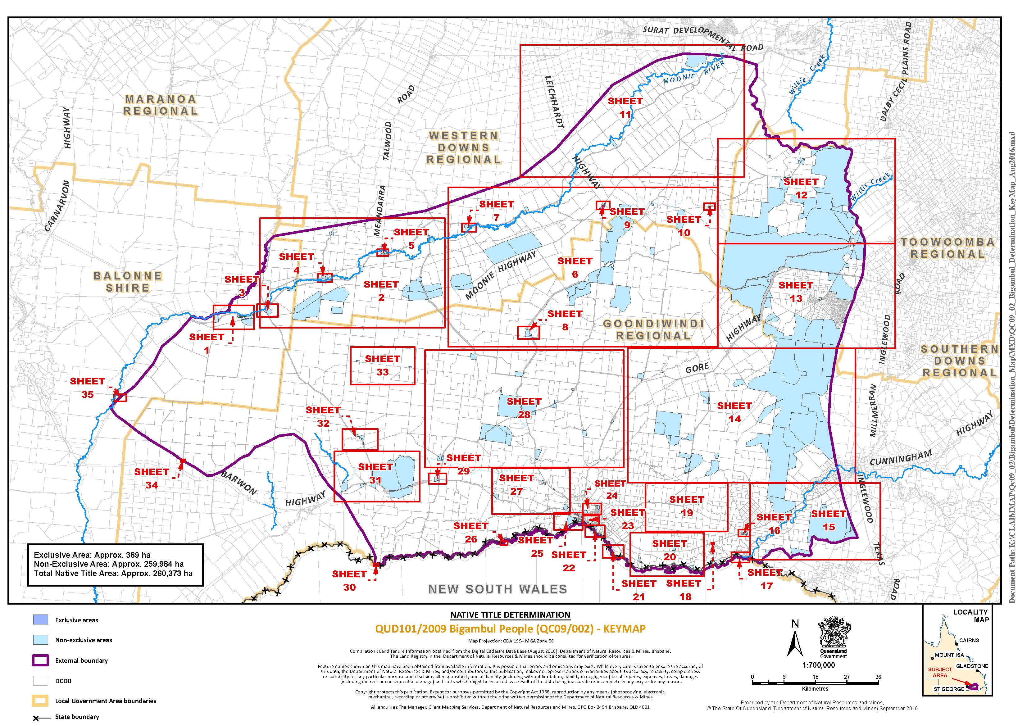
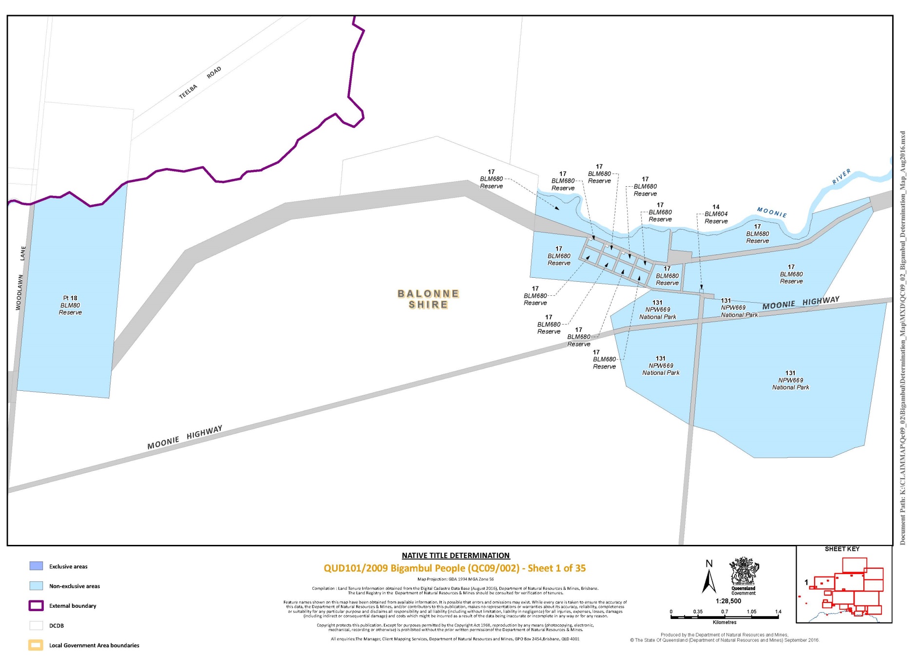
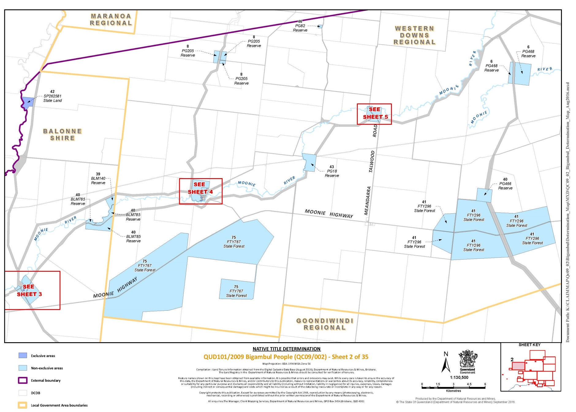
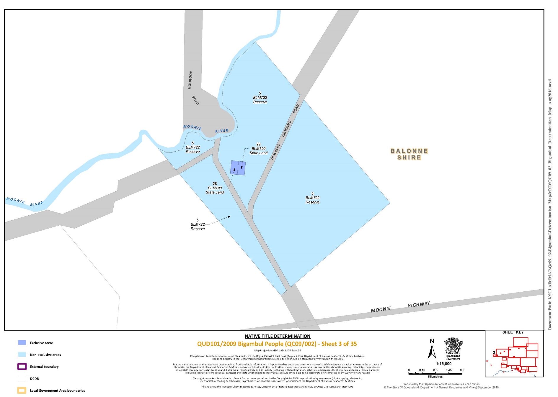
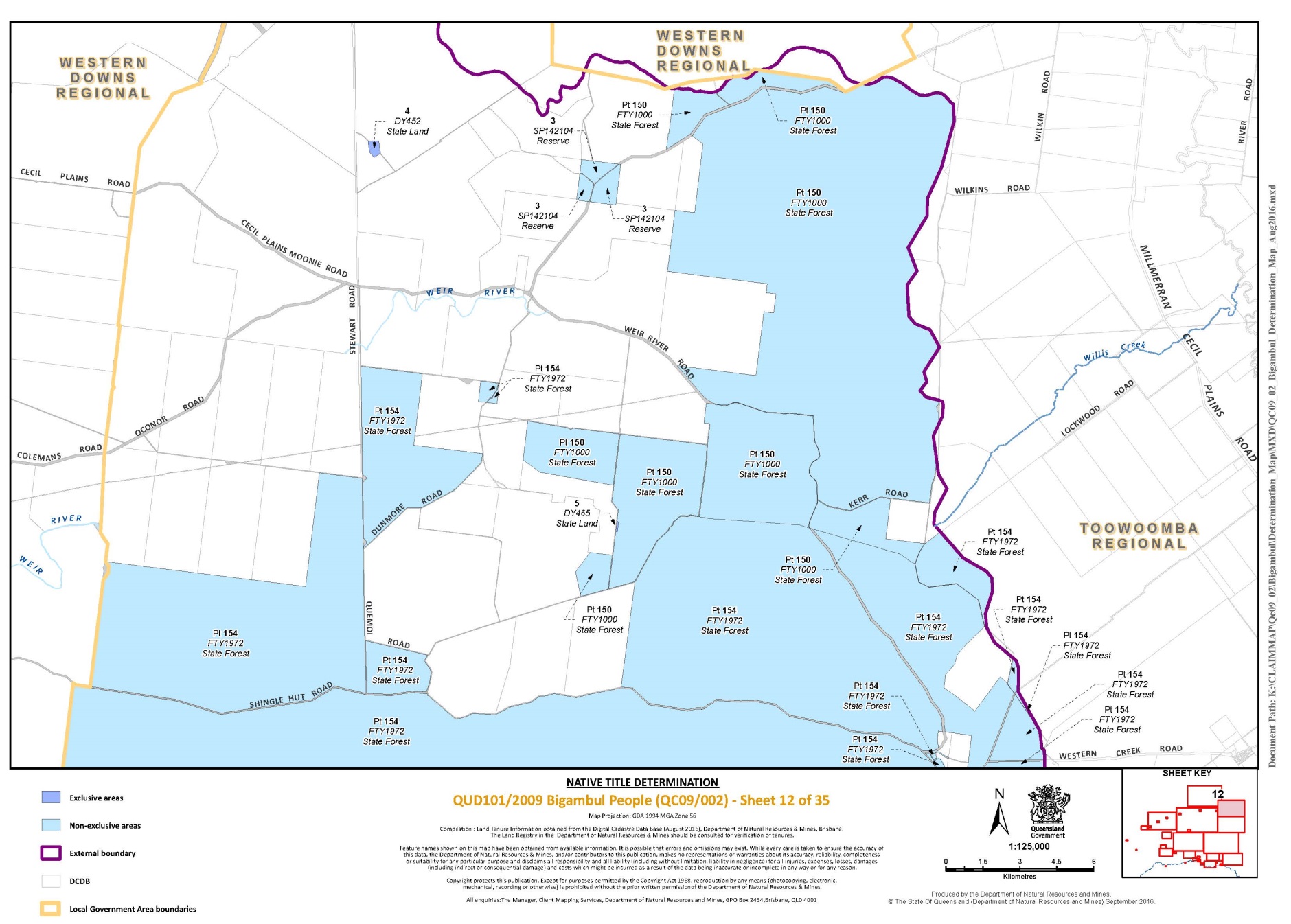
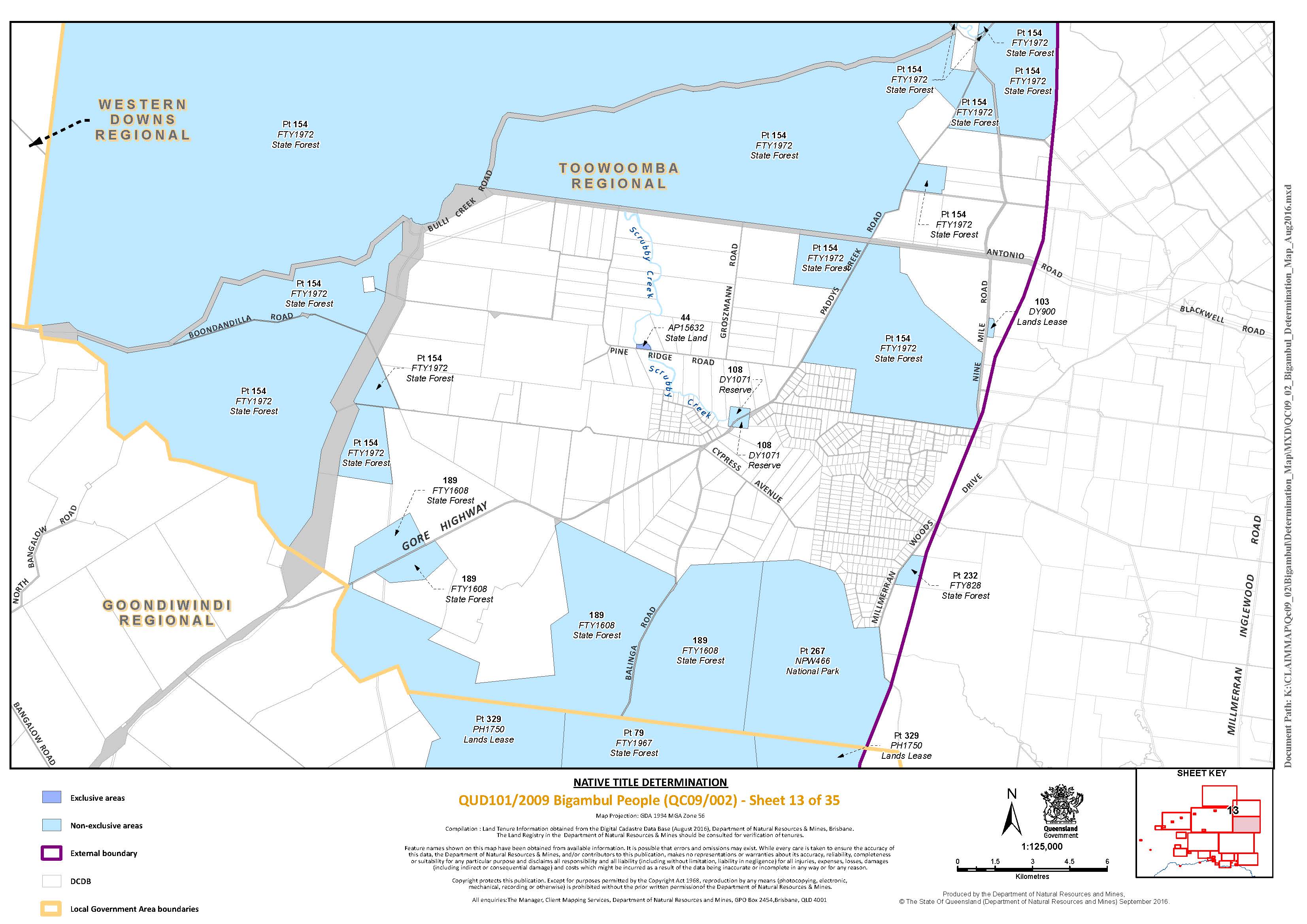
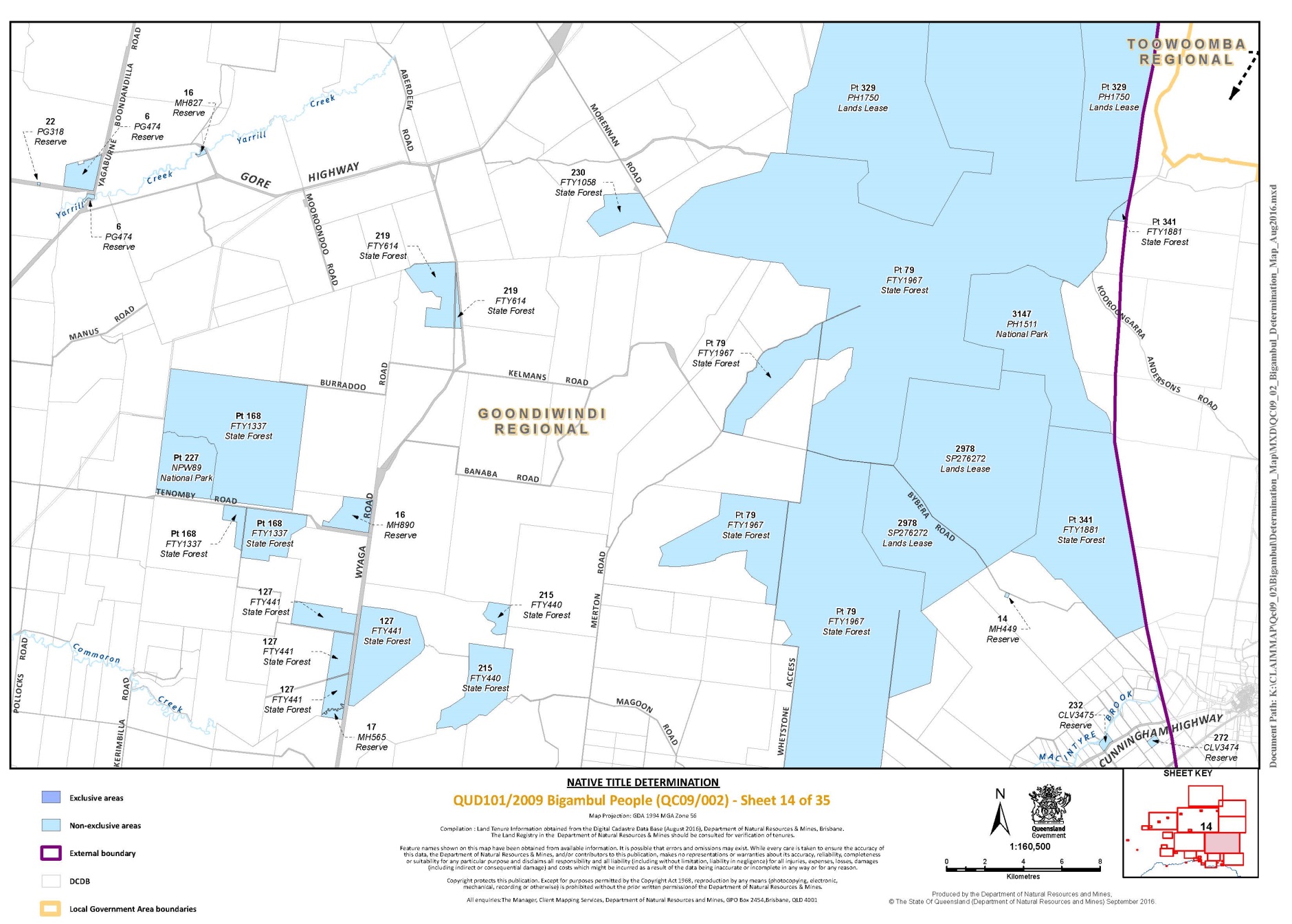
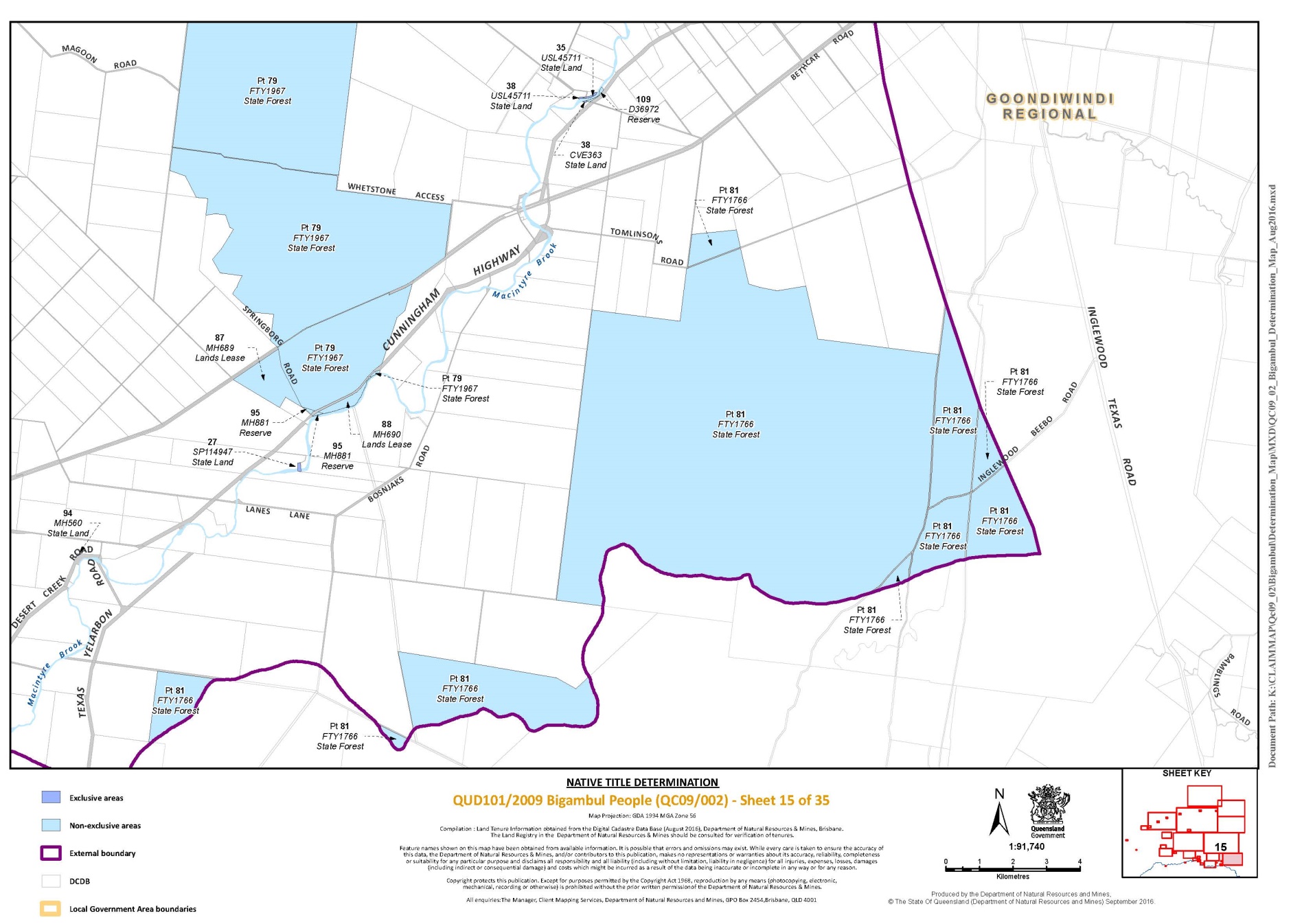
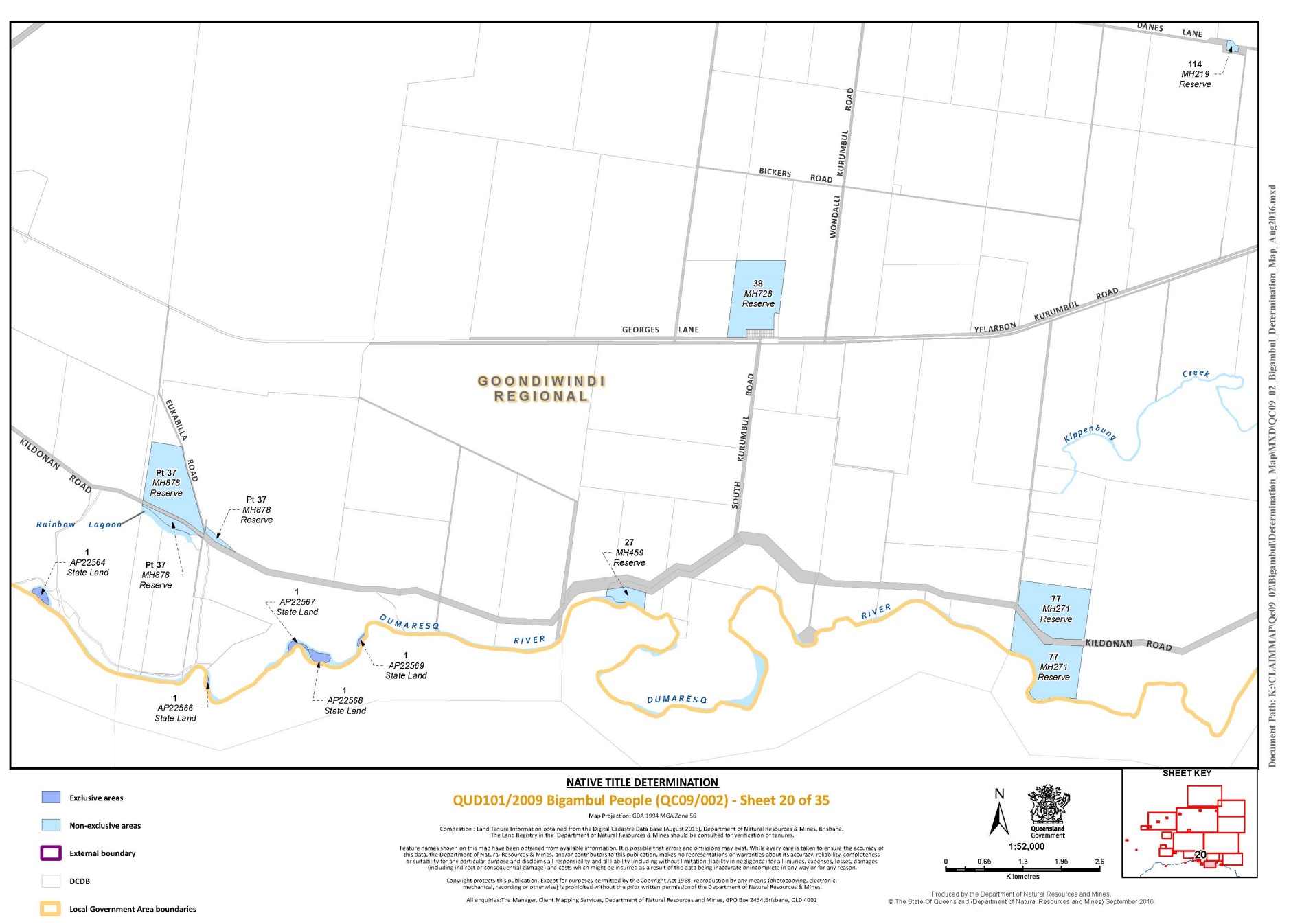
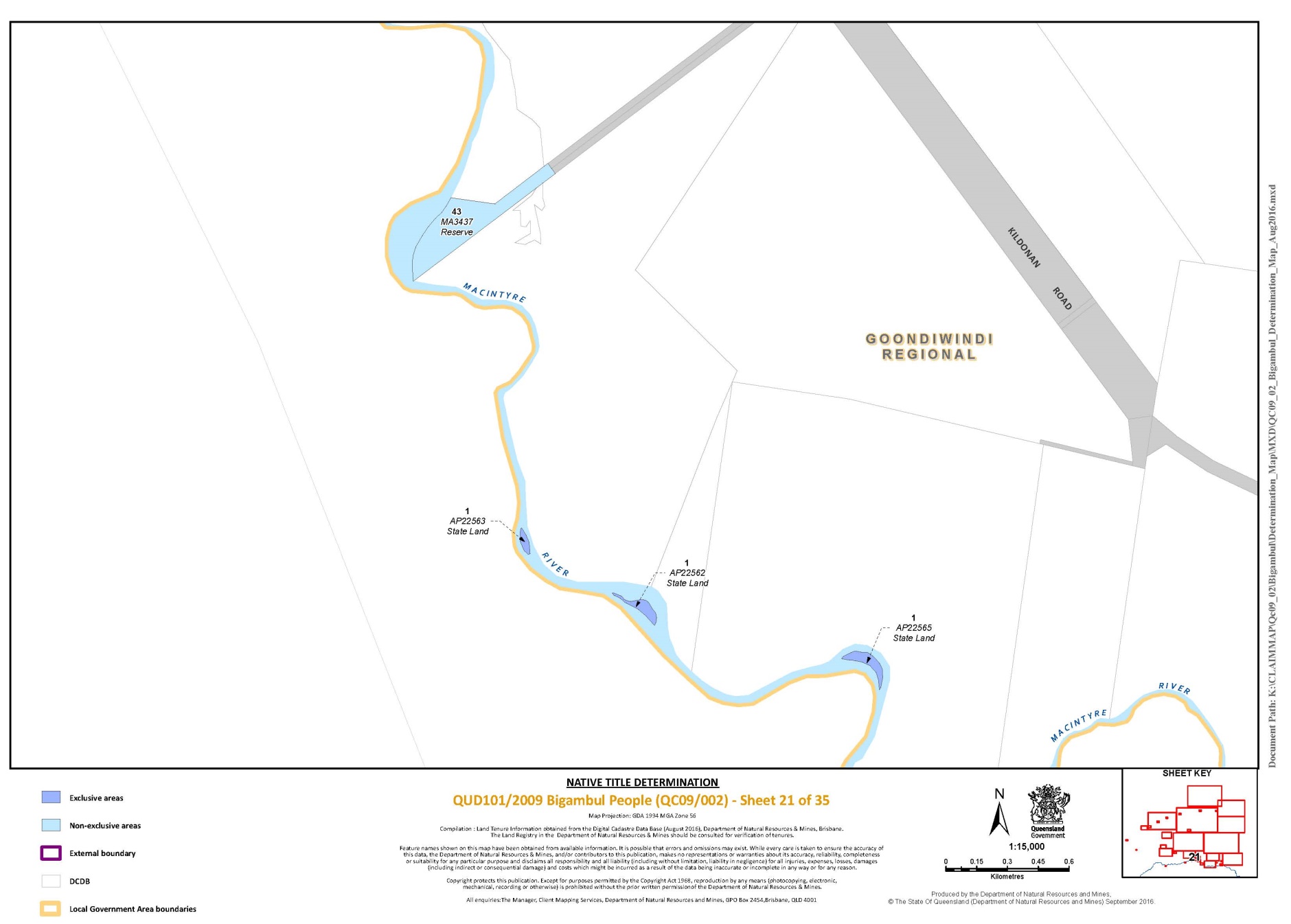
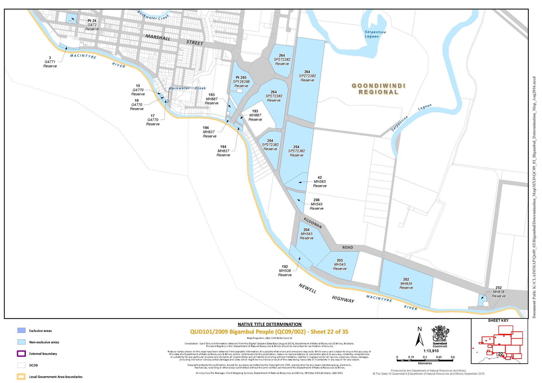
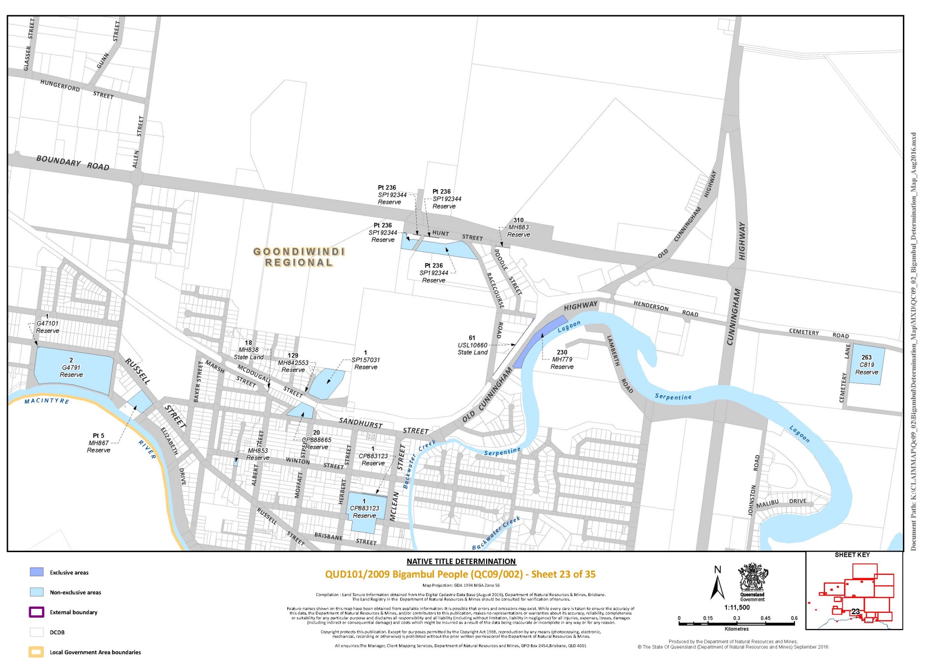
5. The Determination Area is the land and waters described in Schedule 1 and depicted on the map attached to Schedule 1. To the extent of any inconsistency between the written description and the map, the written description prevails.
6. Native title exists in relation to the Determination Area described in Part 1 and Part 2 of Schedule 1.
7. The native title is held by the Bigambul People described in Schedule 3 (“the native title holders”).
8. Subject to paragraphs 10, 11 and 12 below, in areas where exclusive rights can be recognised – the nature and extent of the native title rights and interests in relation to the land and waters described in Part 1 of Schedule 1 are the rights to:
(a) other than in relation to Water, the right to possession, occupation, use and enjoyment of the area to the exclusion of all others; and
(b) in relation to Water, the non-exclusive rights to:
(i) hunt, fish and gather from the Water of the area;
(ii) take and use the Natural Resources of the Water in the area; and
(iii) take and use the Water of the area;
for personal, domestic and non-commercial communal purposes.
9. Subject to paragraphs 10, 11 and 12 below, the nature and extent of the native title rights and interests in relation to the land and waters described in Part 2 of Schedule 1 are the non-exclusive rights to:
(a) access, be present on, move about on and travel over the area;
(b) camp, and live temporarily on the area as part of camping, and for that purpose build temporary shelters on the area;
(c) hunt, fish and gather on the land and waters of the area for personal, domestic and non-commercial communal purposes;
(d) take, use, share and exchange Natural Resources from the land and waters of the area for personal, domestic and non-commercial communal purposes;
(e) take and use the Water of the area for personal, domestic and non-commercial communal purposes;
(f) conduct ceremonies on the area;
(g) be buried and bury native title holders within the area;
(h) teach on the area the physical, cultural and spiritual attributes of the area;
(i) maintain places of importance and areas of significance to the native title holders under their traditional laws and customs and protect those places and areas from physical harm;
(j) light fires on the area for domestic purposes including cooking, but not for the purpose of hunting or clearing vegetation; and
(k) be accompanied onto the area by certain non-Bigambul people, being people required for the performance of ceremonies and cultural activities.
10. The native title rights and interests are subject to and exercisable in accordance with:
(a) the Laws of the State and the Commonwealth;
(b) the traditional laws acknowledged and traditional customs observed by the native title holders; and
(c) the terms and conditions of the agreements referred to in paragraphs 1 and 2 of Schedule 4.
11. The native title rights and interests referred to in paragraph 9 do not confer possession, occupation, use or enjoyment of the Determination Area to the exclusion of all others.
12. There are no native title rights in or in relation to minerals as defined by the Mineral Resources Act 1989 (Qld) and petroleum as defined by the Petroleum Act 1923 (Qld) and the Petroleum and Gas (Production and Safety) Act 2004 (Qld).
13. The nature and extent of any other interests in relation to the Determination Area (or respective parts thereof) as they exist at the date of this Determination are set out in Schedule 4 (“Other Interests”).
14. The relationship between the native title rights and interests described in paragraphs 8 and 9 and the Other Interests described in Schedule 4 is that:
(a) the Other Interests continue to have effect, and the rights conferred by or held under the Other Interests may be exercised notwithstanding the existence of the native title rights and interests;
(b) to the extent the Other Interests are inconsistent with the continued existence, enjoyment or exercise of the native title rights and interests in relation to the land and waters of the Determination Area, the native title continues to exist in its entirety but the native title rights and interests have no effect in relation to the Other Interests to the extent of the inconsistency for so long as the Other Interests exist;
(c) the Other Interests and any activity that is required or permitted by or under, and done in accordance with, the Other Interests, or any activity that is associated with or incidental to such an activity, prevail over the native title rights and interests and any exercise of the native title rights and interests;
(d) without limiting the operation of paragraphs 14(a) to (c) above, before the native title rights and interests (referred to in paragraph 9 above) are exercised on State forest land over which a term lease for grazing purposes has been granted, the native title holders must contact the lessee of the grazing lease, provided their contact details have been provided to the Bigambul Native Title Aboriginal Corporation ICN No. 8479, and discuss any safety issues associated with the proposed exercise of native title rights and interests and make reasonable efforts to agree on the route of access.
DEFINITIONS AND INTERPRETATION
15. In this Determination, unless the contrary intention appears:
“land” and “waters”, respectively, have the same meanings as in the Native Title Act 1993 (Cth);
“Laws of the State and the Commonwealth” means the common law and the laws of the State of Queensland and the Commonwealth of Australia, and includes legislation, regulations, statutory instruments, local planning instruments and local laws;
“Local Government Act” has the same meaning as in the Local Government Act 2009 (Qld);
“Local Government Area” has the same meaning as in the Local Government Act 2009 (Qld);
“Natural Resources” means:
(a) any animal, plant, fish and bird life found on or in the lands and waters of the Determination Area; and
(b) any clays, soil, sand, gravel, rock or ochre found on or below the surface of the Determination Area;
that have traditionally been taken and used by the native title holders, but does not include:
(a) animals that are the private personal property of another;
(b) crops that are the private personal property of another; and
(c) minerals (except ochre taken in accordance with the traditional laws and customs of the native title holders) as defined in the Mineral Resources Act 1989 (Qld) or petroleum as defined in the Petroleum Act 1923 (Qld) and the Petroleum and Gas (Production and Safety) Act 2004 (Qld);
“Reserves” means reserves that are dedicated or taken to be reserves under the Land Act 1994 (Qld);
“Water” means:
(a) water which flows, whether permanently or intermittently, within a river, creek or stream;
(b) any natural collection of water, whether permanent or intermittent; and
(c) water from an underground water source.
Other words and expressions used in this Determination have the same meanings as they have in Part 15 of the Native Title Act 1993 (Cth).
THE COURT DETERMINES THAT:
16. The native title is held in trust.
17. The Bigambul Native Title Aboriginal Corporation ICN No. 8479, incorporated under the Corporations (Aboriginal and Torres Strait Islander) Act 2006 (Cth), is to:
(a) be the prescribed body corporate for the purpose of ss 56(2)(b) and 56(3) of the Native Title Act 1993 (Cth); and
(b) perform the functions mentioned in s 57(1) of the Native Title Act 1993 (Cth) after becoming a registered native title body corporate.
Schedule 1 –– DETERMINATION AREA
Description of Determination Area
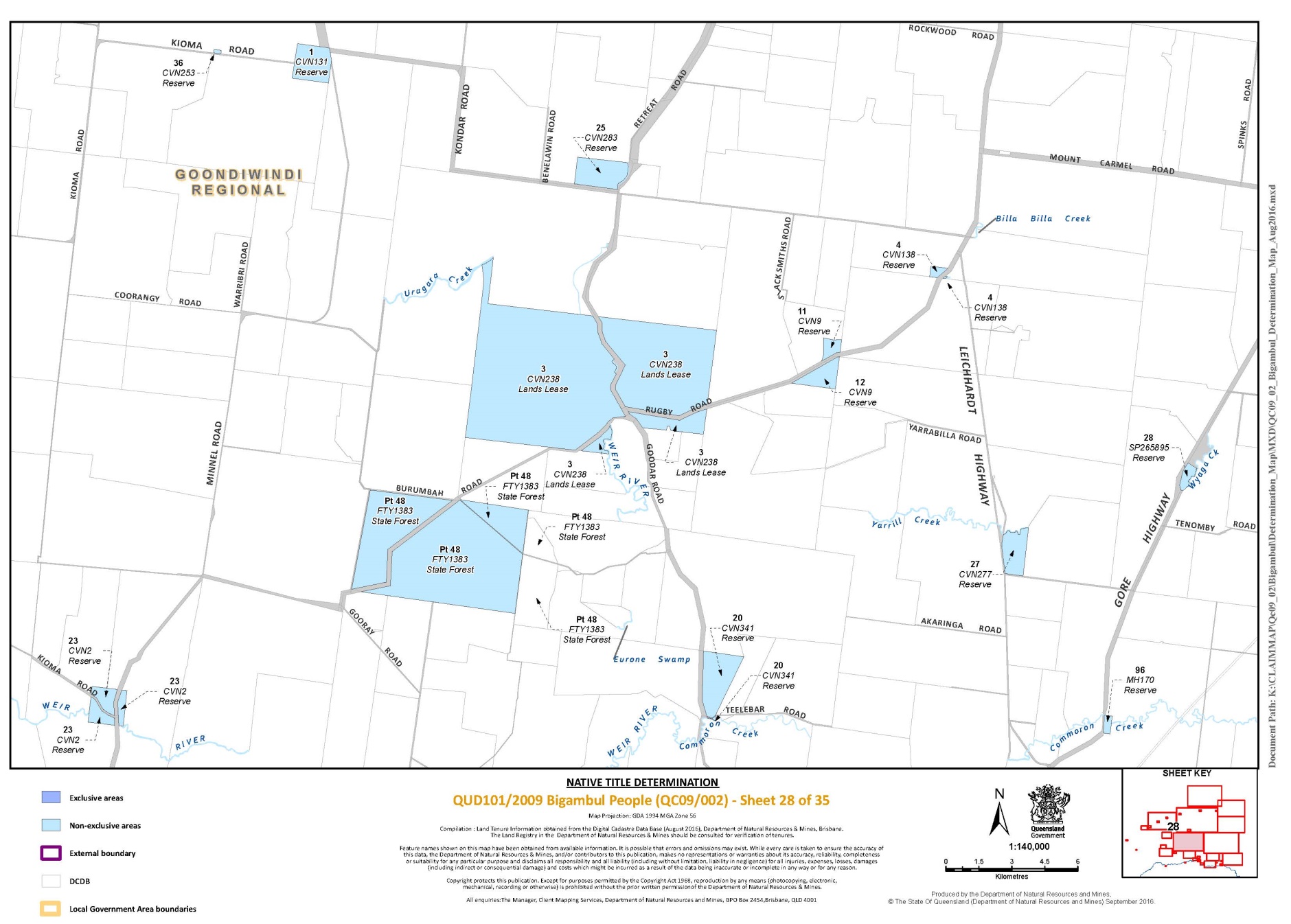
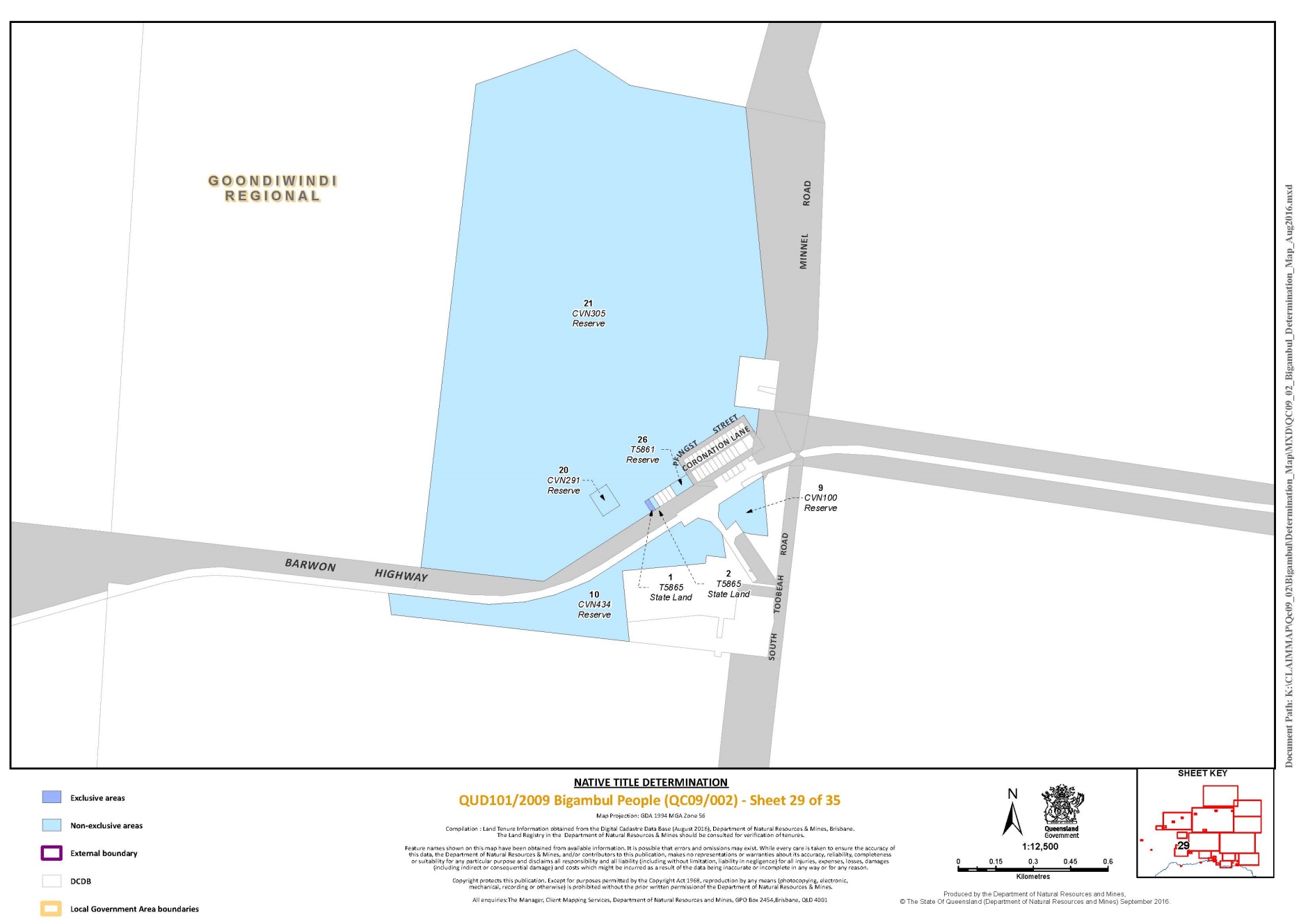
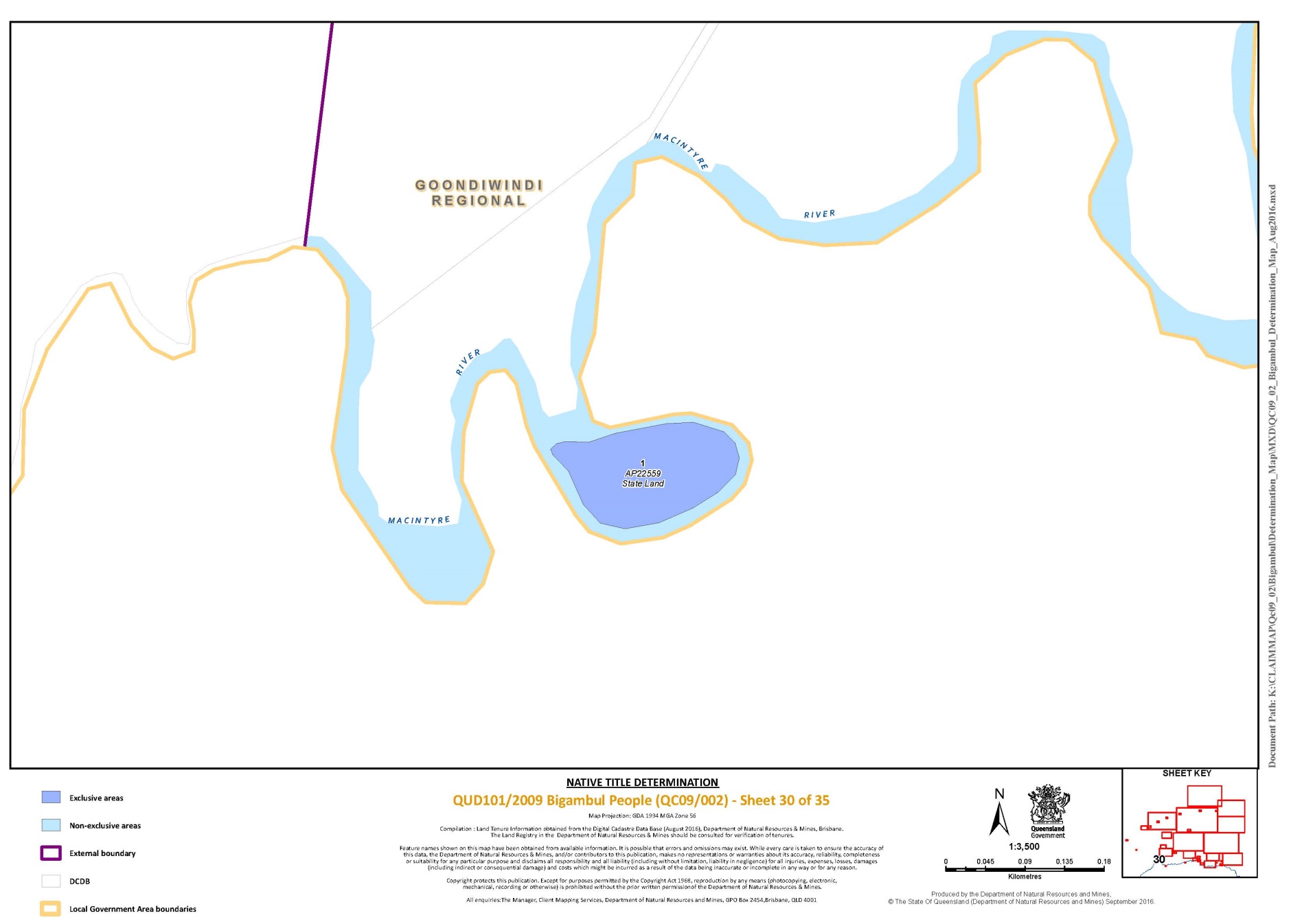
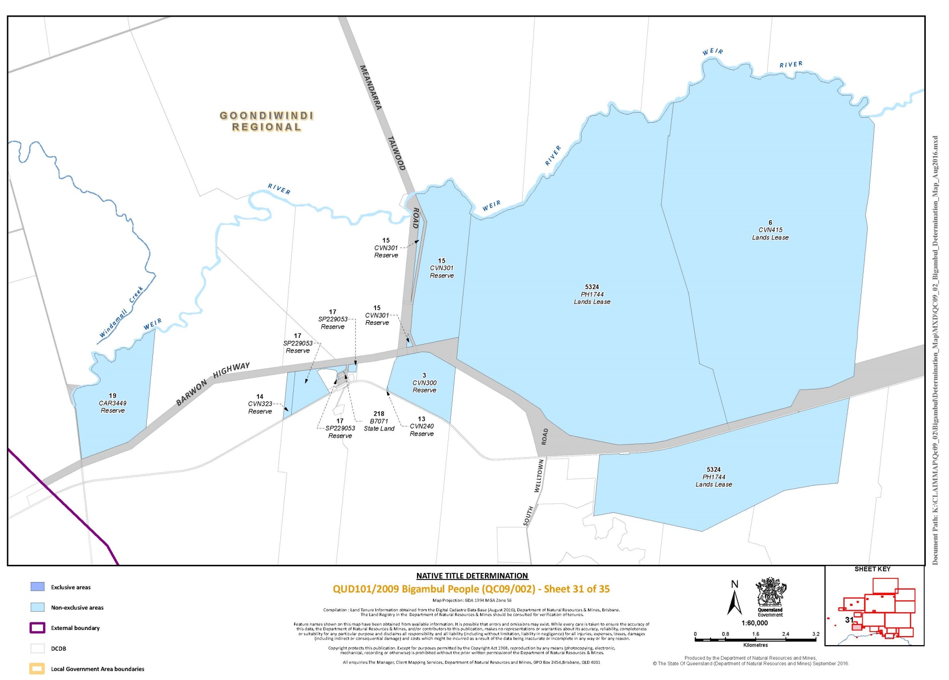
1. The Determination Area comprises all of the land and waters described in Parts 1 and 2 below, to the extent that they are within the external boundary described in Part 3 below, and depicted on the Determination map, excluding the areas described in Schedule 2.
Part 1 –– Exclusive Areas
All of the land and waters described in the following table and depicted in dark blue on the Determination map:
Area Description (at date of Description) | Sheet No. |
That part of Lot 1 on Plan AP18874 excluding the area formerly described as Lot 46 on PG421 | 9 |
Lot 1 on Plan AP22559 | 30 |
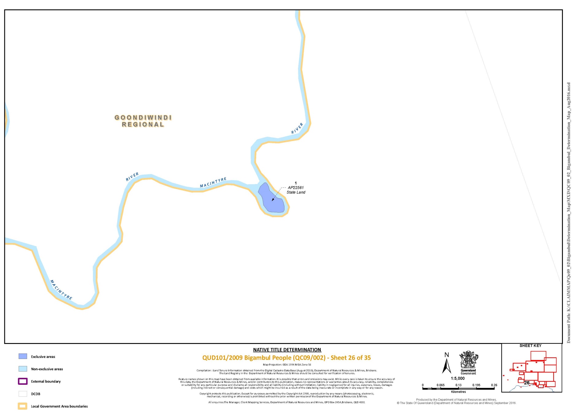
Lot 1 on Plan AP22561 | 26 |
Lot 1 on Plan AP22562 | 21 |
Lot 1 on Plan AP22563 | 21 |
Lot 1 on Plan AP22564 | 20 |
Lot 1 on Plan AP22565 | 21 |
Lot 1 on Plan AP22566 | 20 |
Lot 1 on Plan AP22567 | 20 |
Lot 1 on Plan AP22568 | 20 |
Lot 1 on Plan AP22569 | 20 |
Lot 1 on Plan AP7590 | 9 |
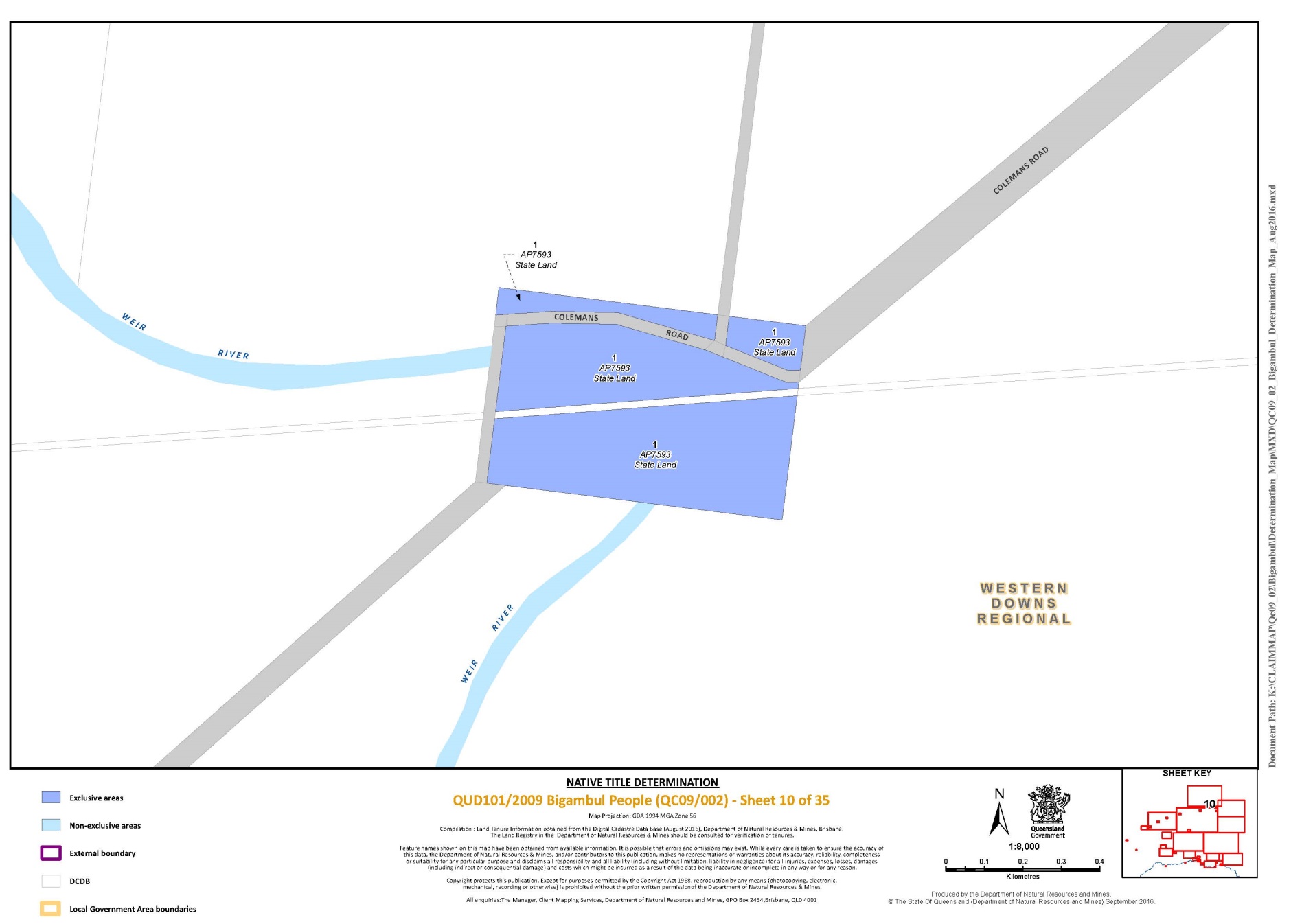
Lot 1 on Plan AP7593 | 10 |
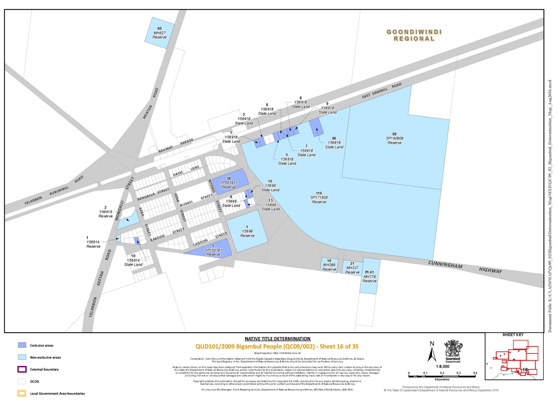
Lot 1 on Plan SP150781 | 16 |
Lot 1 on Plan T5865 | 29 |
Lot 1 on Plan Y56918 | 16 |
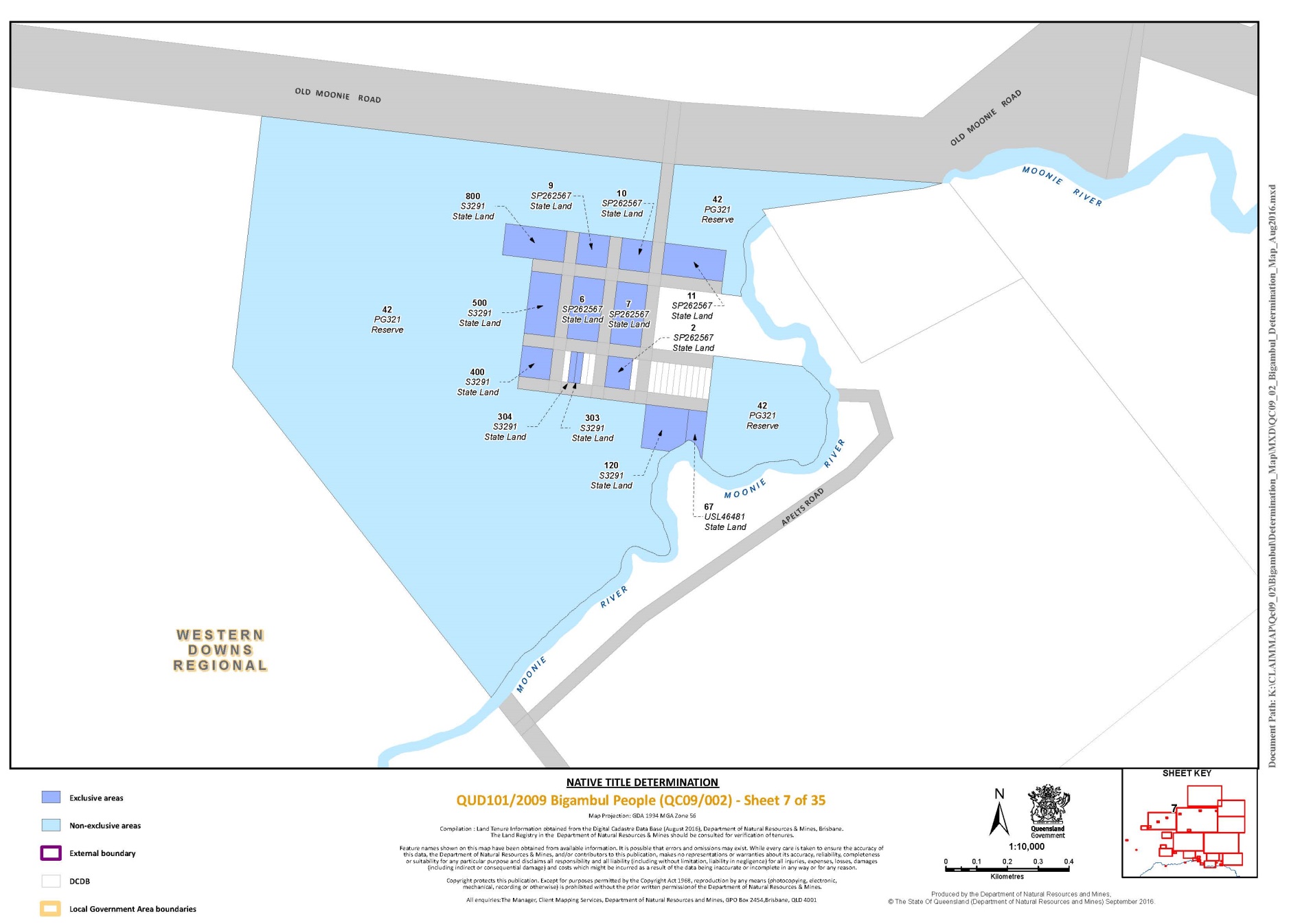
Lot 10 on Plan SP262567 | 7 |
Lot 10 on Plan Y5699 | 16 |
Lot 10 on Plan Y56914 | 16 |
Lot 11 on Plan SP262567 | 7 |
Lot 120 on Plan S3291 | 7 |
Lot 13 on Plan Y5699 | 16 |
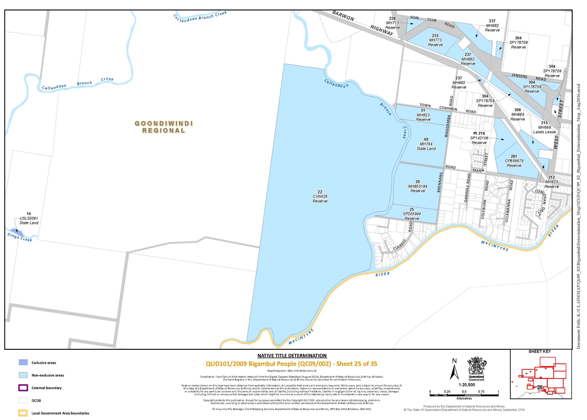
Lot 14 on Plan USL52061 | 25 |
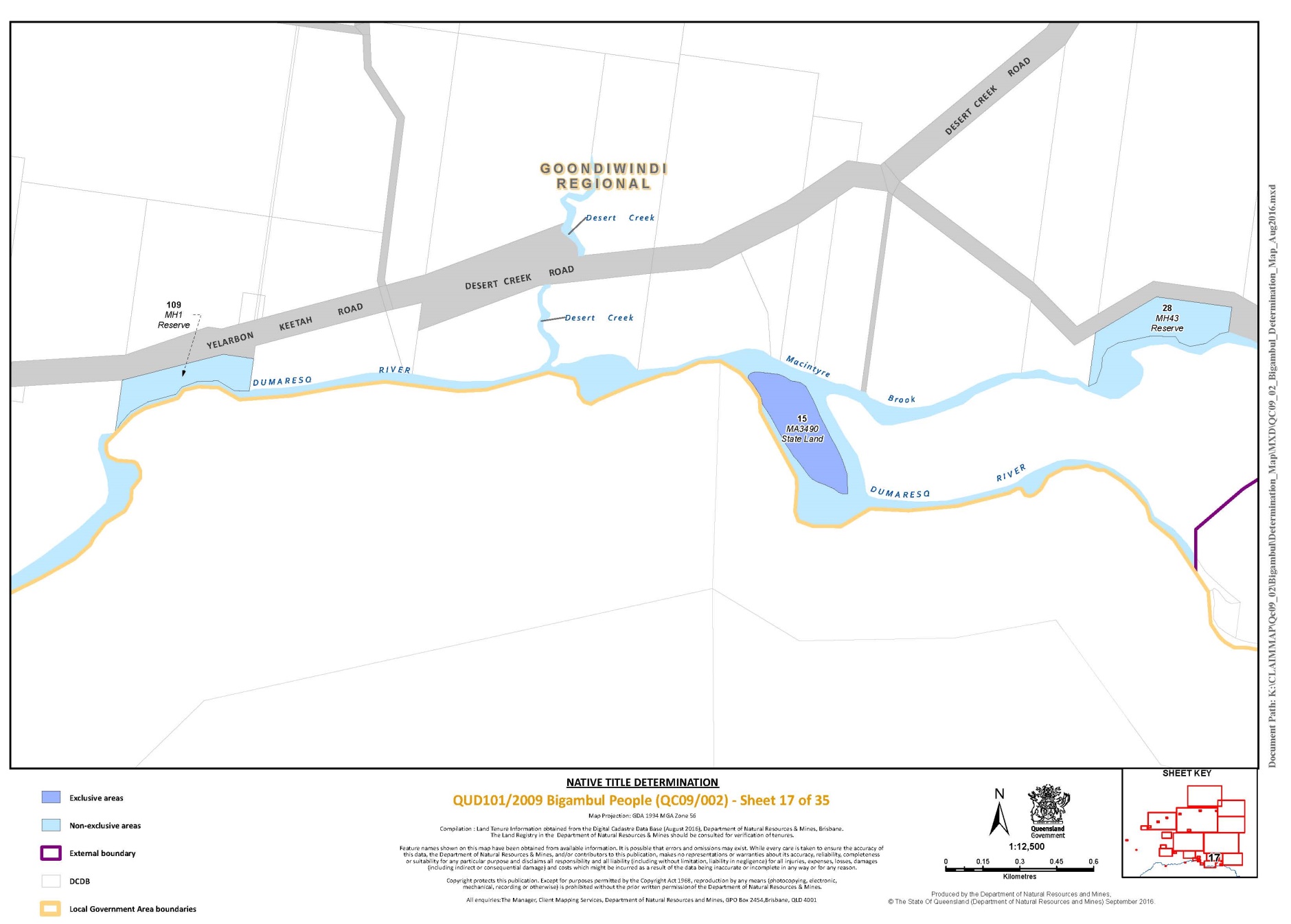
Lot 15 on Plan MA3490 | 17 |
Lot 2 on Plan SP262567 | 7 |
Lot 2 on Plan Y56918 | 16 |
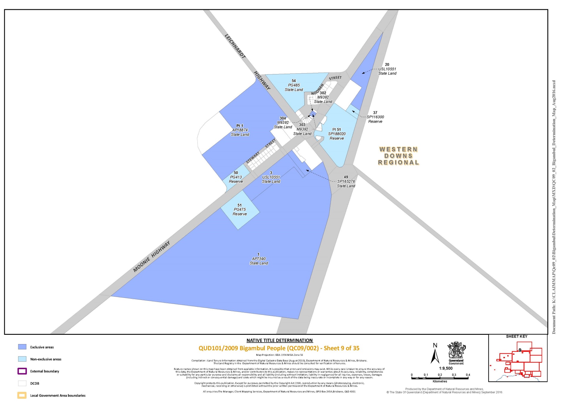
Lot 20 on Plan USL10551 | 9 |
Lot 218 on Plan B7071 | 31 |
Lot 230 on Plan MH779 | 23 |
Lot 27 on Plan SP114947 | 15 |
Lot 28 on Plan BLM190 | 3 |
Lot 29 on Plan BLM190 | 3 |
Lot 3 on Plan USL10551 | 9 |
Lot 302 on Plan M9392 | 9 |
Lot 303 on Plan M9392 | 9 |
Lot 303 on Plan S3291 | 7 |
Lot 304 on Plan M9392 | 9 |
Lot 304 on Plan S3291 | 7 |
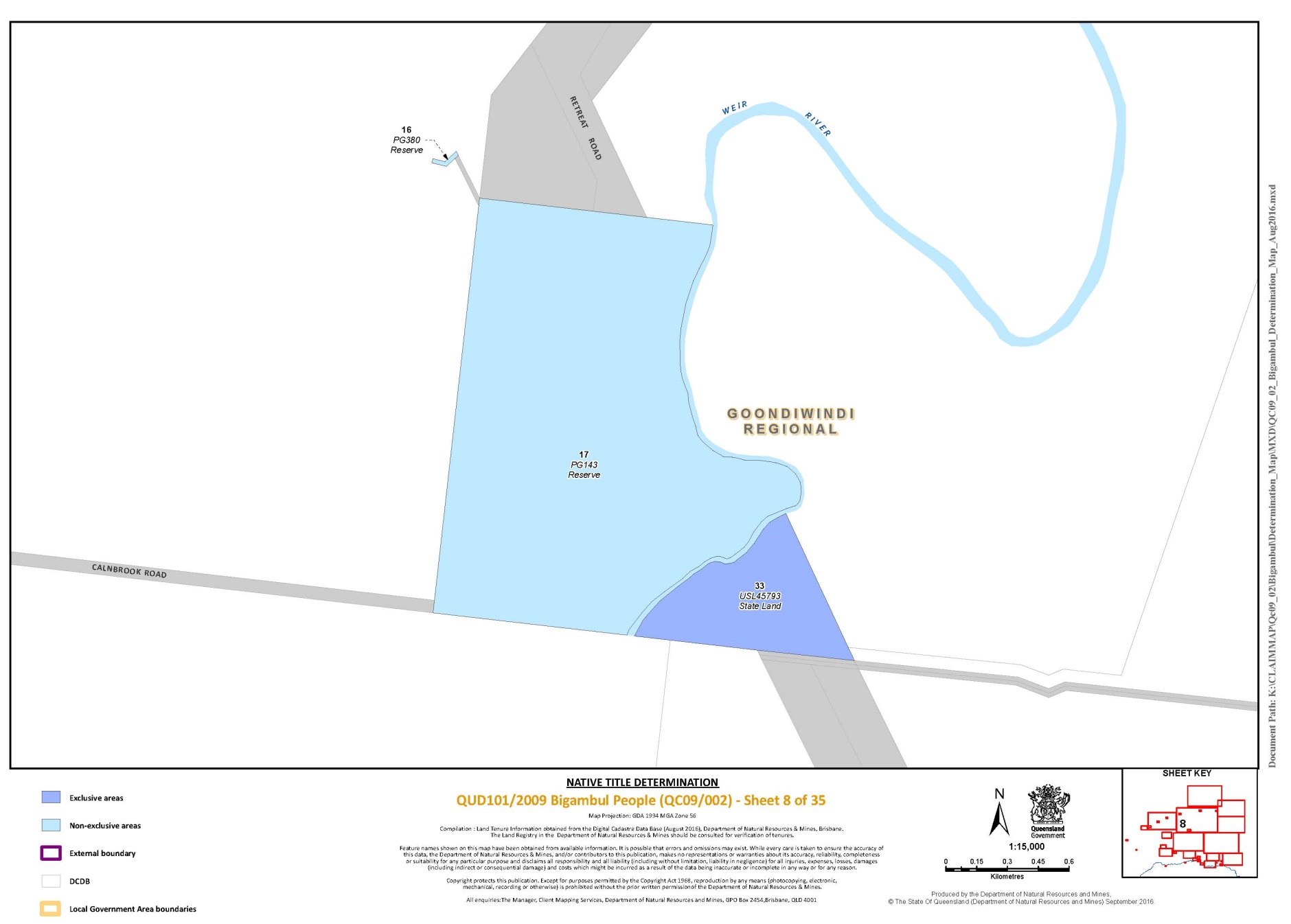
Lot 33 on Plan USL45793 | 8 |
Lot 35 on Plan USL45711 | 15 |
Lot 38 on Plan CVE363 | 15 |
Lot 38 on Plan USL45711 | 15 |
Lot 38 on Plan SP205931 | 16 |
Lot 4 on Plan DY452 | 12 |
Lot 400 on Plan S3291 | 7 |
Lot 42 on Plan SP262581 | 2 |
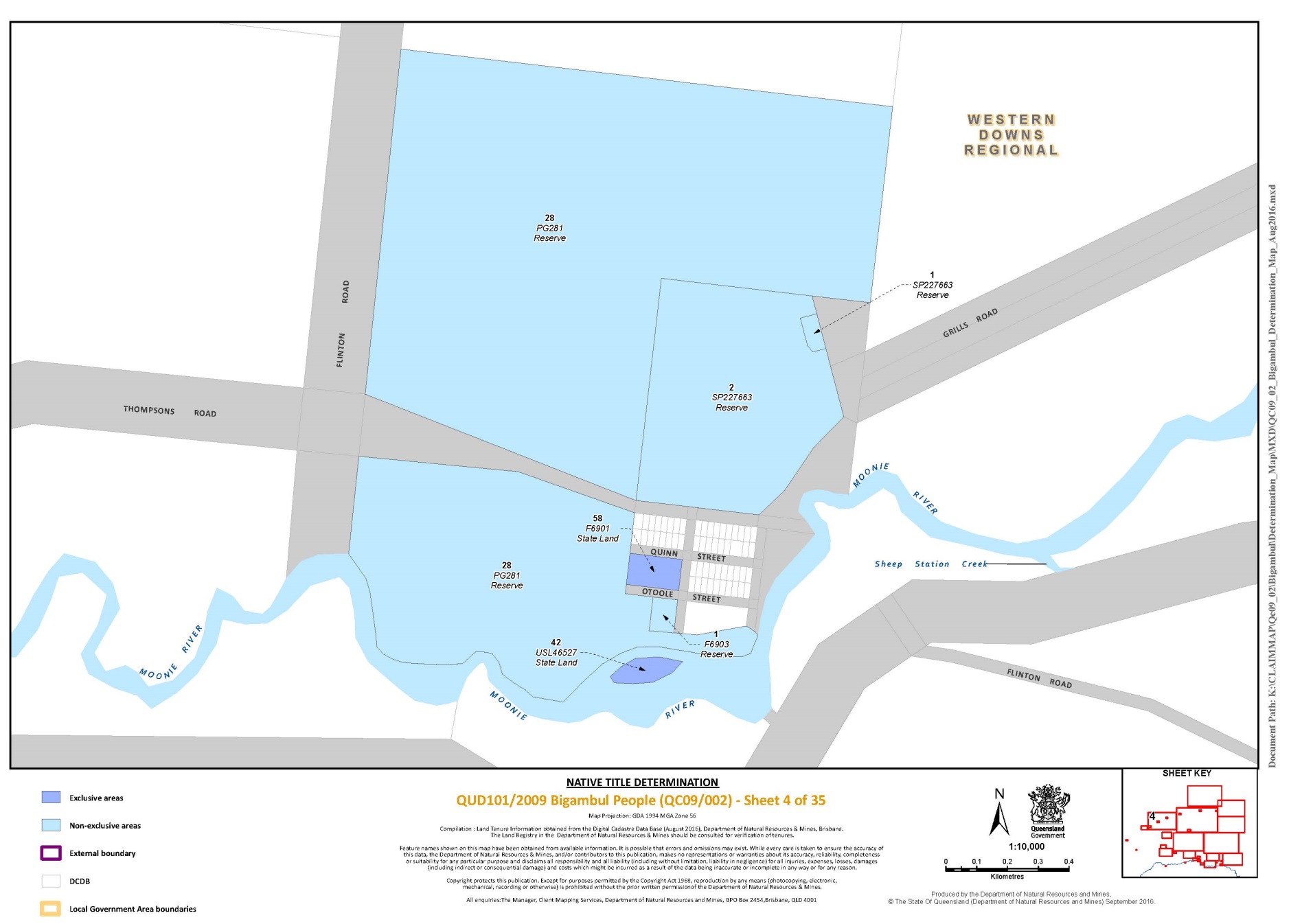
Lot 42 on Plan USL46527 | 4 |
Lot 44 on Plan AP15632 | 13 |
Lot 49 on Plan SP165276 | 9 |
Lot 5 on Plan DY465 | 12 |
Lot 5 on Plan Y56918 | 16 |
Lot 500 on Plan S3291 | 7 |
Lot 58 on Plan F6901 | 4 |
Lot 6 on Plan SP262567 | 7 |
Lot 6 on Plan Y56918 | 16 |
Lot 61 on Plan USL10660 | 23 |
Lot 67 on Plan USL46481 | 7 |
Lot 7 on Plan SP262567 | 7 |
Lot 7 on Plan Y56918 | 16 |
Lot 8 on Plan Y56918 | 16 |
Lot 800 on Plan S3291 | 7 |
Lot 9 on Plan SP262567 | 7 |
Lot 9 on Plan Y56918 | 16 |
Lot 9 on Plan Y5699 | 16 |
Lot 94 on Plan MH560 | 15 |
Lot 96 on Plan Y56918 | 16 |
Part 2 –– Non-Exclusive Areas
Save for any waters forming part of a lot on a plan, all waterways, natural lakes, creeks and rivers within the external boundary described in Part 3 – External Boundary Description. All of the land and waters described in the following table and depicted in light blue on the Determination map:
Area Description (at date of Description) | Sheet No. | |||
That part of Lot 154 on Plan FTY1972 excluding the areas formerly described as Portion 8 on DY400 and Portion 3 on DY381 | 12, 13 | |||
That part of Lot 168 on Plan FTY1337 excluding the area formerly described as Closed Road on FTY1254 (currently described as part of Lot 168 on FTY1337) | 14 | |||
That part of Lot 216 on Plan SP142106 excluding the area formerly described as Area to be Added between stations 2-3-5-9-10-11-12-13-14-2 on SP142106 | 25 | |||
Part of Lot 227 on Plan NPW89 excluding the southern portion identified on Plan NPW89 as ‘Closed Road’ | 14 | |||
That part of Lot 236 on Plan SP192344 excluding the area formerly described as Road Closed between stations I-F-E-D-C-N-M-L-K-J-I on MH839259 | 23 | |||
That part of Lot 265 on Plan SP126298 excluding the area formerly described as Area to be Added between stations A-B-C-D-A on SP126298 | 22 | |||
That part of Lot 37 on Plan MH878 excluding the area formerly described as Portion 26 on MH309 | 20 | |||
That part of Lot 41 on Plan MH778 excluding the area formerly described as Portion 46 on MH234 | 16 | |||
That part of Lot 48 on Plan FTY1383 excluding the area formerly described as Portion 5V on CVN79 | 28 | |||
That part of Lot 5 on Plan MH867 excluding the area formerly described as Closed Road between stations 18-20-21-23 on Plan MH867 | 23 | |||
That part of Lot 51 on Plan SP188020 excluding the area formerly described as Lot 47 on PG432 | 6, 9 | |||
Lot 1 on Plan AP13826 | 18 | |||
Lot 1 on Plan CVN131 | 28 | |||
Lot 1 on Plan F6903 | 2, 4 | |||
Lot 1 on Plan G47101 | 23 | |||
Lot 1 on Plan Y56914 | 16 | |||
Lot 1 on Plan SP157031 | 23 | |||
Lot 1 on Plan Y5698 | 16 | |||
Lot 1 on Plan SP227663 | 2, 4 | |||
Lot 1 on Plan CP883123 | 23 | |||
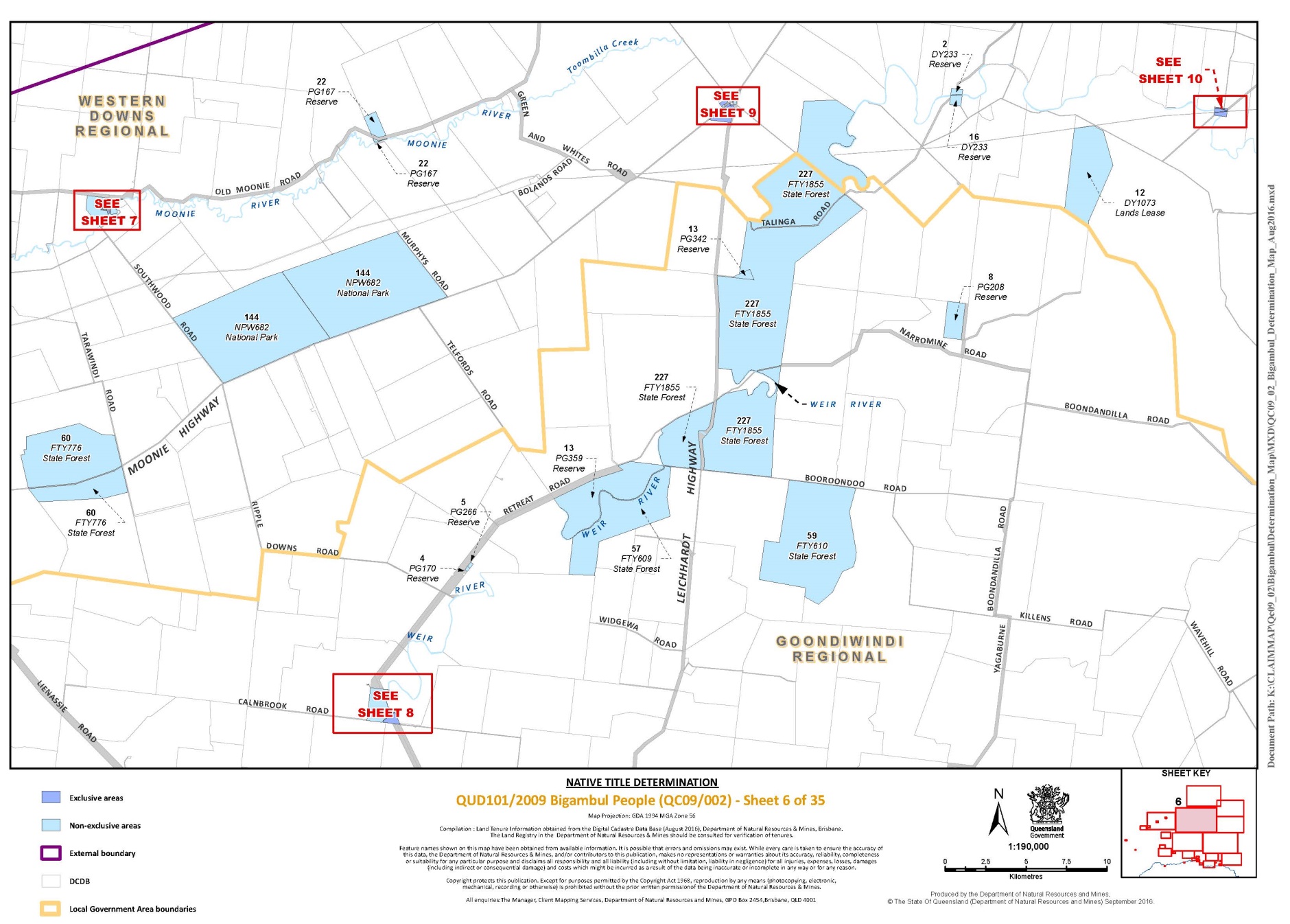
Lot 2 on Plan DY233 | 6 | |||
Lot 2 on Plan Y56916 | 16 | |||
Lot 2 on Plan SP227663 | 2, 4 | |||
Lot 2 on Plan G4791 | 23 | |||
Lot 2 on Plan T5865 | 29 | |||
Lot 3 on Plan CVN300 | 31 | |||
Lot 3 on Plan G4771 | 22 | |||
Lot 3 on Plan SP142104 | 12 | |||
Lot 3 on Plan CVN238 | 28 | |||
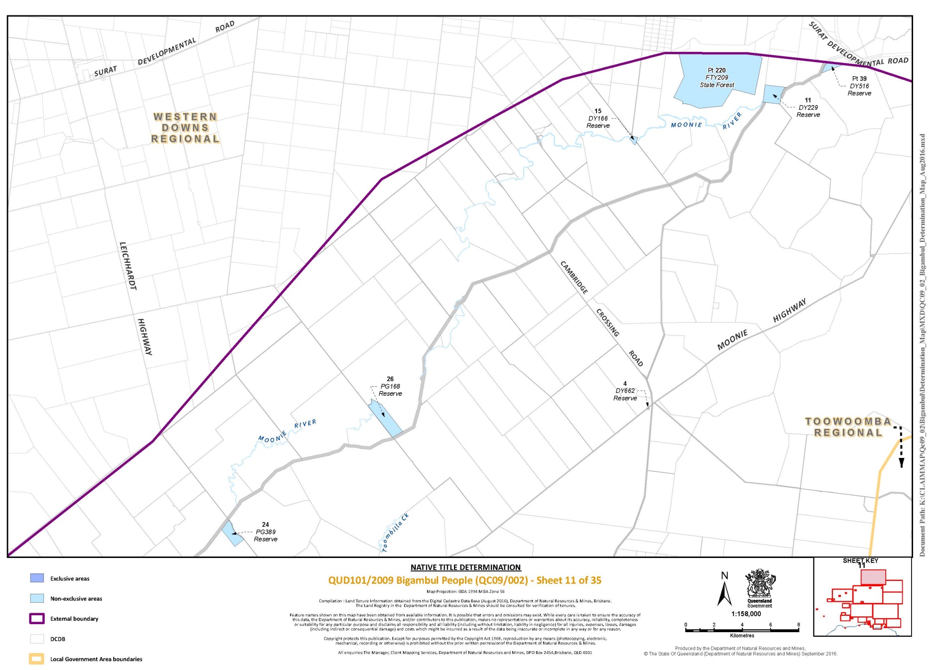
Lot 4 on Plan DY662 | 11 | |||
Lot 4 on Plan PG170 | 6 | |||
Lot 4 on Plan CVN138 | 28 | |||
Lot 5 on Plan BLM722 | 3 | |||
Lot 5 on Plan PG266 | 6 | |||
Lot 6 on Plan CVN415 | 31 | |||
Lot 6 on Plan PG468 | 2 | |||
Lot 6 on Plan PG474 | 14 | |||
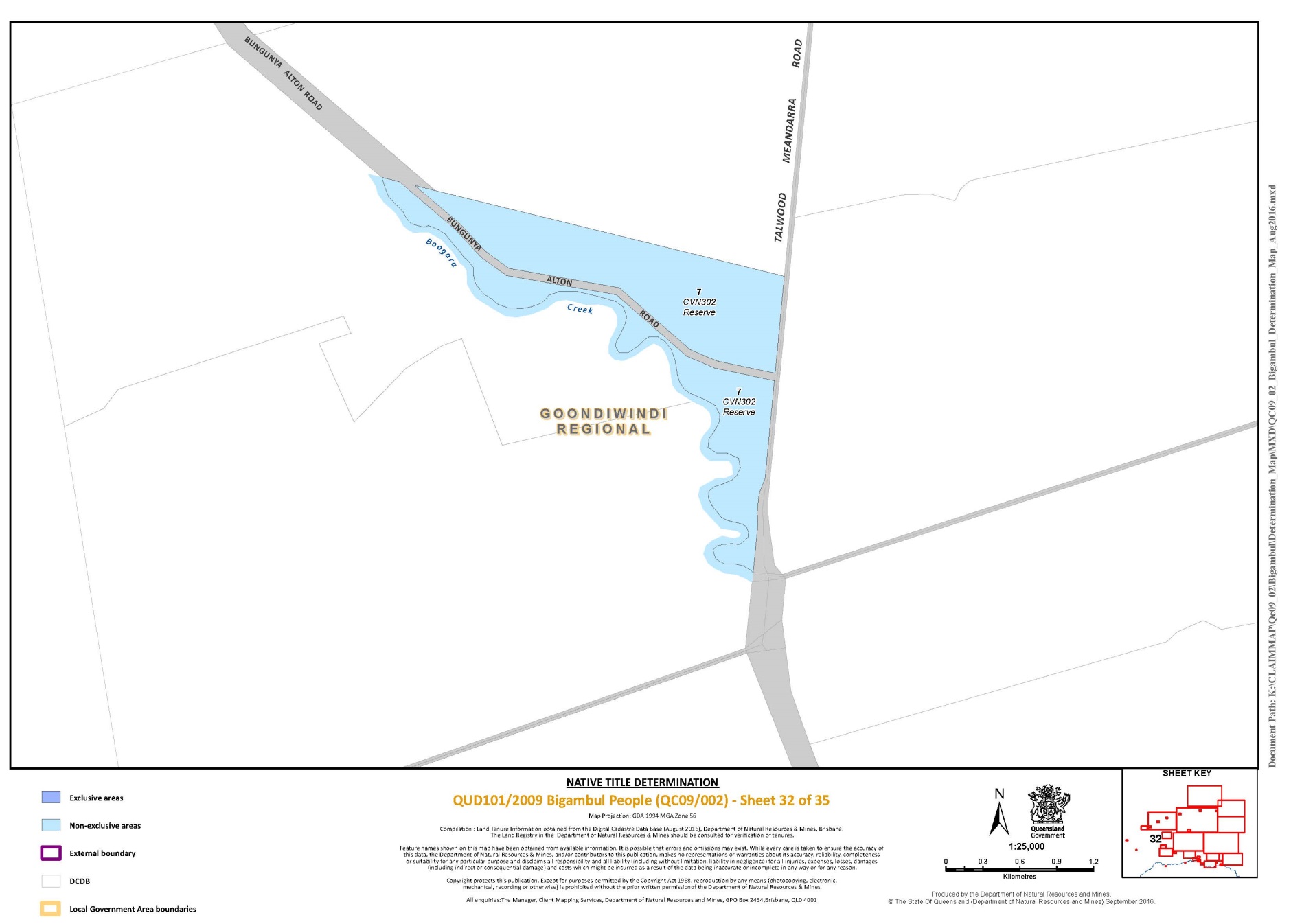
Lot 7 on Plan CVN302 | 32 | |||
Lot 7 on Plan MH853 | 23 | |||
Lot 8 on Plan PG205 | 2 | |||
Lot 8 on Plan PG208 | 6 | |||
Lot 9 on Plan CVN100 | 29 | |||
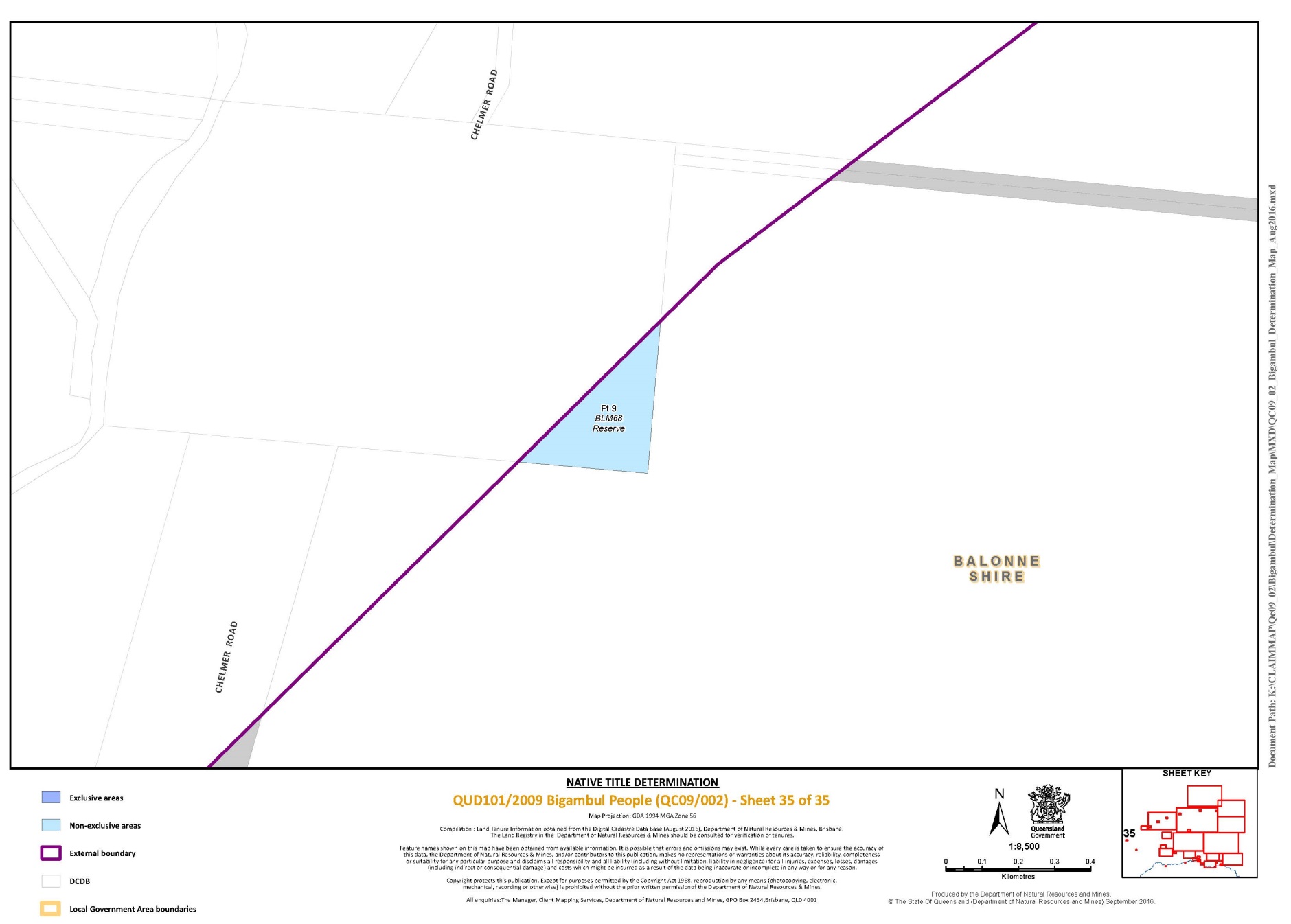
Pt Lot 9 on Plan BLM68 | 35 | |||
Lot 10 on Plan CVN434 | 29 | |||
Lot 11 on Plan CVN9 | 28 | |||
Lot 11 on Plan DY229 | 11 | |||
Lot 12 on Plan CVN9 | 28 | |||
Lot 12 on Plan DY1073 | 6 | |||
Lot 13 on Plan CVN240 | 31 | |||
Lot 13 on Plan PG342 | 6 | |||
Lot 13 on Plan PG359 | 6 | |||
Lot 14 on Plan MH449 | 14 | |||
Lot 14 on Plan BLM604 | 1 | |||
Lot 14 on Plan CVN323 | 31 | |||
Lot 15 on Plan CVN301 | 31 | |||
Lot 15 on Plan DY166 | 11 | |||
Lot 15 on Plan G4770 | 22 | |||
Lot 16 on Plan MH890 | 14 | |||
Lot 16 on Plan DY233 | 6 | |||
Lot 16 on Plan MH288 | 16 | |||
Lot 16 on Plan G4770 | 22 | |||
Lot 16 on Plan PG380 | 8 | |||
Lot 16 on Plan MH827 | 14 | |||
Lot 17 on Plan MH565 | 14 | |||
Lot 17 on Plan PG143 | 8 | |||
Lot 17 on Plan G4770 | 22 | |||
Lot 17 on Plan BLM680 | 1 | |||
Lot 17 on Plan SP229053 | 31 | |||
Pt Lot 18 on Plan BLM80 | 1 | |||
Lot 18 on Plan MH838 | 23 | |||
Lot 19 on Plan CAR3449 | 31 | |||
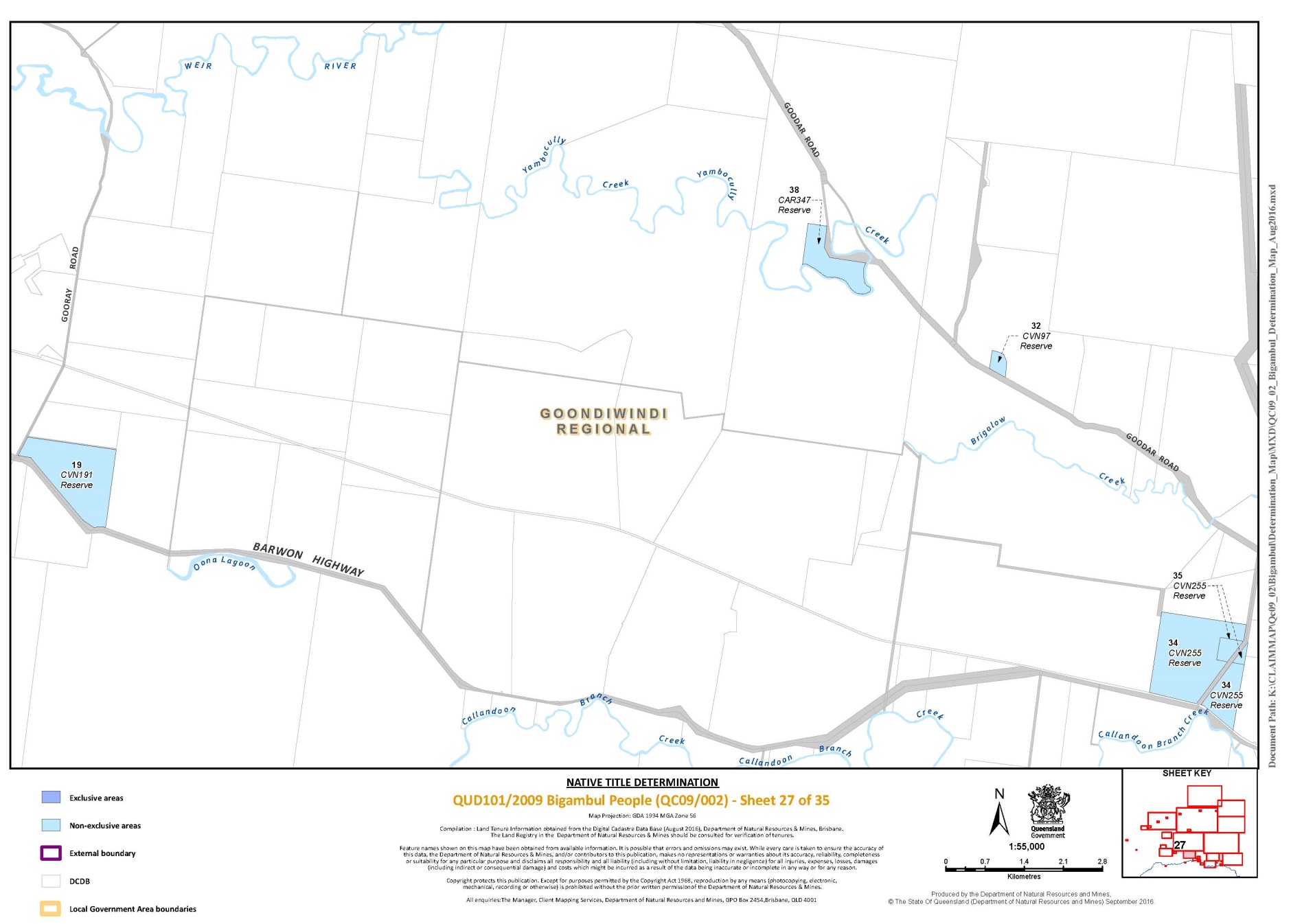
Lot 19 on Plan CVN191 | 27 | |||
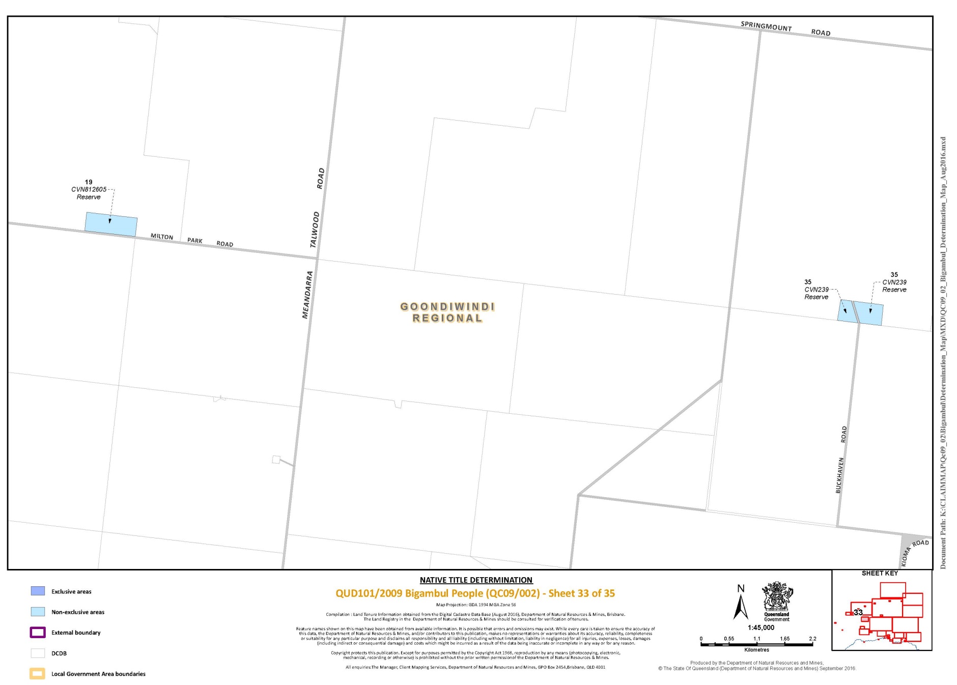
Lot 19 on Plan CVN812605 | 33 | |||
Lot 20 on Plan CVN341 | 28 | |||
Lot 20 on Plan CVN291 | 29 | |||
Lot 20 on Plan CP888665 | 23 | |||
Lot 20 on Plan MH805184 | 25 | |||
Lot 21 on Plan G6771 | 18 | |||
Lot 21 on Plan CVN305 | 29 | |||
Lot 21 on Plan MH337 | 16 | |||
Lot 22 on Plan G6771 | 18 | |||
Lot 22 on Plan PG167 | 6 | |||
Lot 22 on Plan CVN426 | 25 | |||
Lot 22 on Plan PG318 | 14 | |||
Lot 23 on Plan G6771 | 18 | |||
Lot 23 on Plan CVN2 | 28 | |||
Lot 24 on Plan G6771 | 18 | |||
Lot 24 on Plan PG389 | 11 | |||
Lot 25 on Plan G6771 | 18 | |||
Lot 25 on Plan CVN283 | 28 | |||
Lot 25 on Plan SP205944 | 25 | |||
Lot 26 on Plan G6771 | 18 | |||
Lot 26 on Plan T5861 | 29 | |||
Lot 26 on Plan PG168 | 11 | |||
Lot 27 on Plan G6771 | 18 | |||
Lot 27 on Plan CVN277 | 28 | |||
Lot 27 on Plan MH459 | 20 | |||
Lot 28 on Plan G6771 | 18 | |||
Lot 28 on Plan PG281 | 4 | |||
Lot 28 on Plan SP265895 | 28 | |||
Lot 28 on Plan MH43 | 17 | |||
Lot 29 on Plan G6771 | 18 | |||
Lot 30 on Plan G6771 | 18 | |||
Lot 31 on Plan G6771 | 18 | |||
Lot 32 on Plan G6771 | 18 | |||
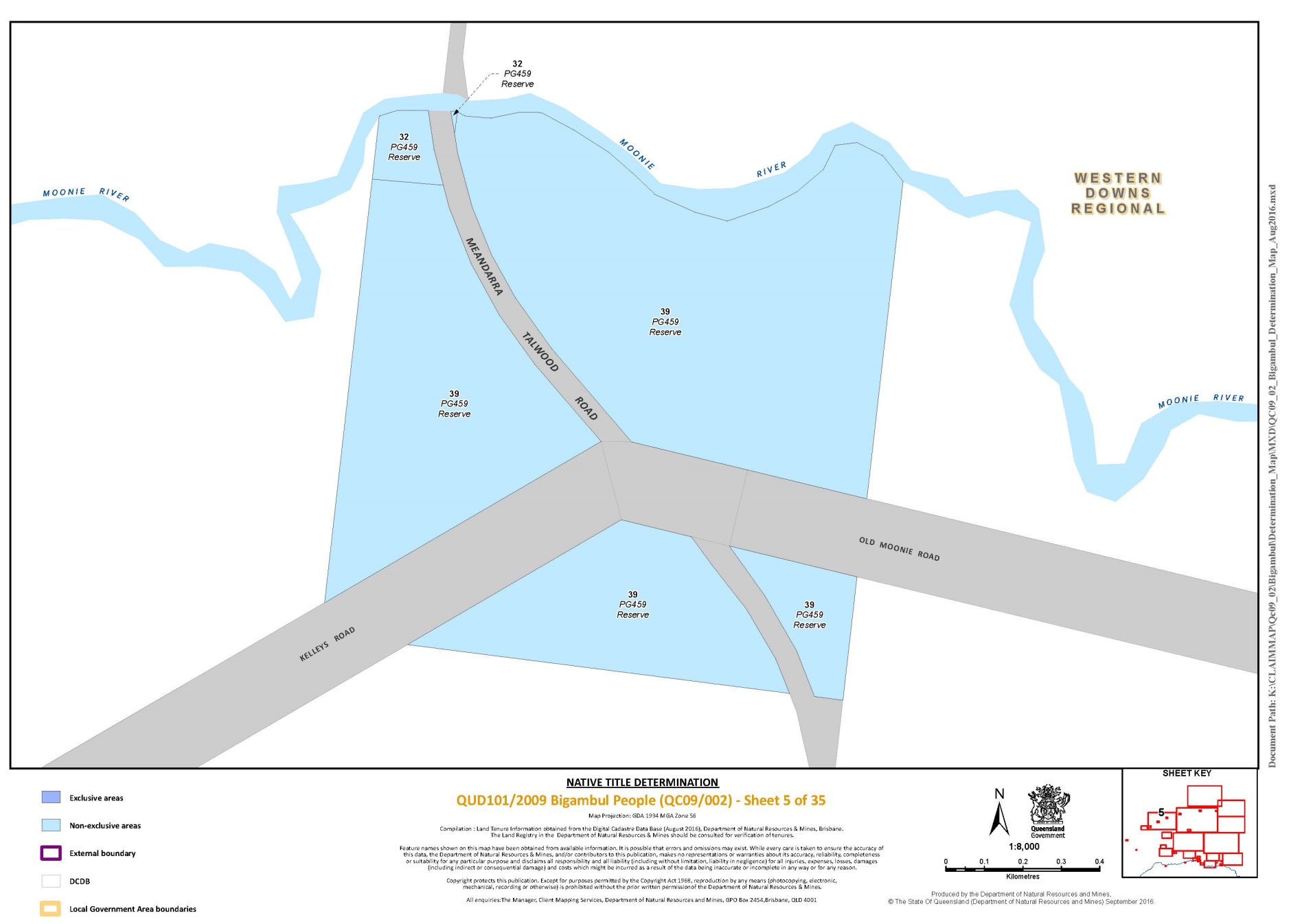
Lot 32 on Plan PG459 | 5 | |||
Lot 32 on Plan CVN97 | 27 | |||
Lot 33 on Plan G6771 | 18 | |||
Lot 34 on Plan G6771 | 18 | |||
Lot 34 on Plan CVN255 | 27 | |||
Lot 35 on Plan G6771 | 18 | |||
Lot 35 on Plan CVN239 | 33 | |||
Lot 35 on Plan CVN255 | 27 | |||
Lot 36 on Plan G6771 | 18 | |||
Lot 36 on Plan CVN253 | 28 | |||
Lot 37 on Plan G6771 | 18 | |||
Lot 38 on Plan G6771 | 18 | |||
Lot 38 on Plan CAR347 | 27 | |||
Lot 38 on Plan MH728 | 20 | |||
Lot 39 on Plan G6771 | 18 | |||
Lot 39 on Plan PG459 | 5 | |||
Pt Lot 39 on Plan DY516 | 11 | |||
Lot 39 on Plan BLM140 | 2 | |||
Lot 40 on Plan G6771 | 18 | |||
Lot 40 on Plan PG466 | 2 | |||
Lot 40 on Plan BLM785 | 2 | |||
Lot 41 on Plan G6771 | 18 | |||
Lot 41 on Plan FTY296 | 2 | |||
Lot 42 on Plan G6771 | 18 | |||
Lot 42 on Plan PG321 | 7 | |||
Lot 42 on Plan MH585 | 22 | |||
Lot 43 on Plan G6771 | 18 | |||
Lot 43 on Plan PG18 | 2 | |||
Lot 43 on Plan MA3437 | 21 | |||
Lot 44 on Plan G6771 | 18 | |||
Lot 45 on Plan G6771 | 18 | |||
Lot 46 on Plan G6771 | 18 | |||
Lot 46 on Plan PG82 | 2 | |||
Lot 47 on Plan G6771 | 18 | |||
Lot 48 on Plan MH764 | 25 | |||
Lot 48 on Plan G6771 | 18 | |||
Lot 49 on Plan G6771 | 18 | |||
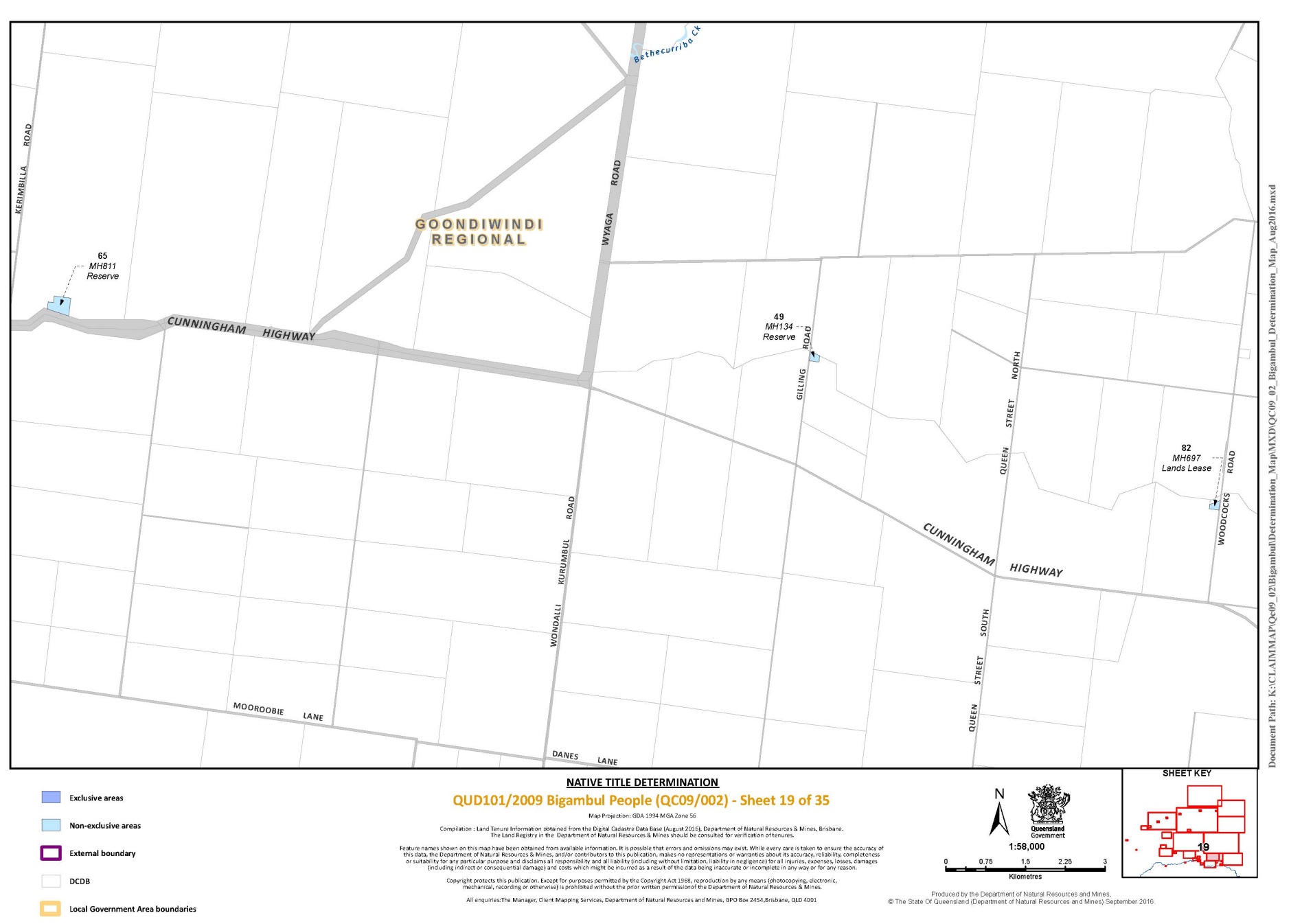
Lot 49 on Plan MH134 | 19 | |||
Lot 50 on Plan G6771 | 18 | |||
Lot 50 on Plan PG413 | 9 | |||
Lot 51 on Plan G6771 | 18 | |||
Lot 51 on Plan PG475 | 9 | |||
Lot 51 on Plan MH823 | 25 | |||
Lot 52 on Plan G6771 | 18 | |||
Lot 53 on Plan G6771 | 18 | |||
Lot 54 on Plan PG485 | 9 | |||
Lot 54 on Plan G6771 | 18 | |||
Lot 55 on Plan G6771 | 18 | |||
Lot 56 on Plan G6771 | 18 | |||
Lot 57 on Plan G6771 | 18 | |||
Lot 57 on Plan FTY609 | 6 | |||
Lot 58 on Plan G6771 | 18 | |||
Lot 59 on Plan G6771 | 18 | |||
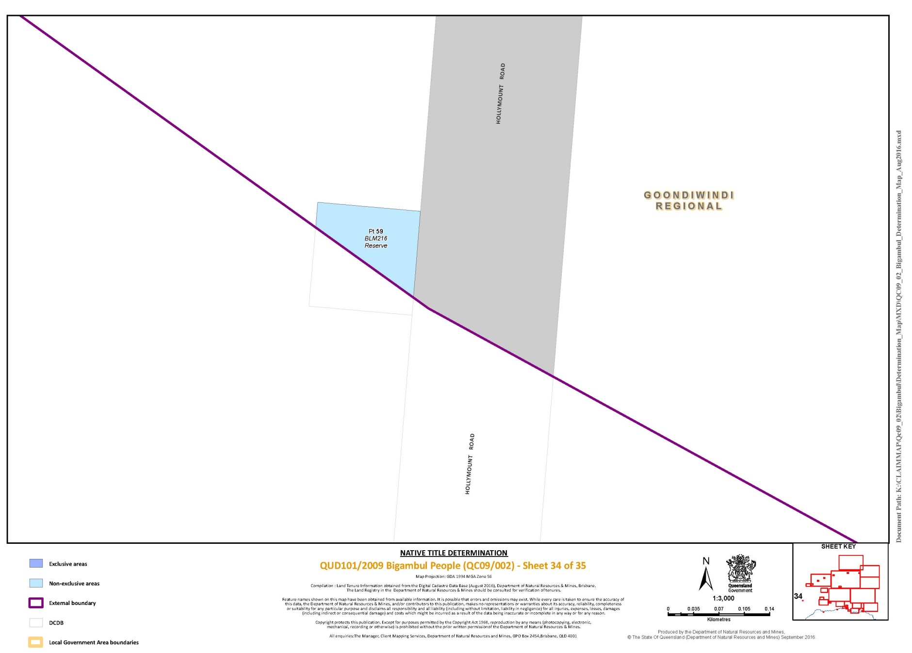
Pt Lot 59 on Plan BLM216 | 34 | |||
Lot 59 on Plan FTY610 | 6 | |||
Lot 60 on Plan G6771 | 18 | |||
Lot 60 on Plan FTY776 | 6 | |||
Lot 65 on Plan MH811 | 19 | |||
Lot 75 on Plan FTY767 | 2 | |||
Lot 77 on Plan MH271 | 20 | |||
Pt Lot 79 on Plan FTY1967 | 13, 14, 15 | |||
Lot 80 on Plan MH627 | 16 | |||
Pt Lot 81 on Plan FTY1766 | 15 | |||
Lot 82 on Plan MH697 | 19 | |||
Lot 87 on Plan MH689 | 15 | |||
Lot 88 on Plan MH690 | 15 | |||
Lot 89 on Plan SP140808 | 16 | |||
Lot 95 on Plan MH881 | 15 | |||
Lot 96 on Plan MH170 | 28 | |||
Lot 103 on Plan DY900 | 13 | |||
Lot 108 on Plan DY1071 | 13 | |||
Lot 109 on Plan MH1 | 17 | |||
Lot 109 on Plan D36972 | 15 | |||
Lot 110 on Plan SP171826 | 16 | |||
Lot 114 on Plan MH219 | 20 | |||
Lot 127 on Plan FTY441 | 14 | |||
Lot 129 on Plan MH842553 | 23 | |||
Lot 131 on Plan NPW669 | 1 | |||
Lot 144 on Plan NPW682 | 6 | |||
Pt Lot 150 on Plan FTY1000 | 12 | |||
Lot 189 on Plan FTY1608 | 13 | |||
Lot 192 on Plan MH538 | 22 | |||
Lot 193 on Plan MH887 | 22 | |||
Lot 194 on Plan MH837 | 22 | |||
Lot 202 on Plan MH836 | 22 | |||
Lot 204 on Plan MH545 | 22 | |||
Lot 205 on Plan MH545 | 22 | |||
Lot 206 on Plan MH545 | 22 | |||
Lot 212 on Plan MH625 | 25 | |||
Lot 215 on Plan FTY440 | 14 | |||
Lot 219 on Plan FTY614 | 14 | |||
Pt Lot 220 on Plan FTY209 | 11 | |||
Lot 227 on Plan FTY1855 | 6 | |||
Lot 230 on Plan FTY1058 | 14 | |||
Lot 232 on Plan CLV3475 | 14 | |||
Pt Lot 232 on Plan FTY828 | 13 | |||
Lot 235 on Plan MH773 | 25 | |||
Lot 237 on Plan MH882 | 25 | |||
Lot 238 on Plan MH713 | 25 | |||
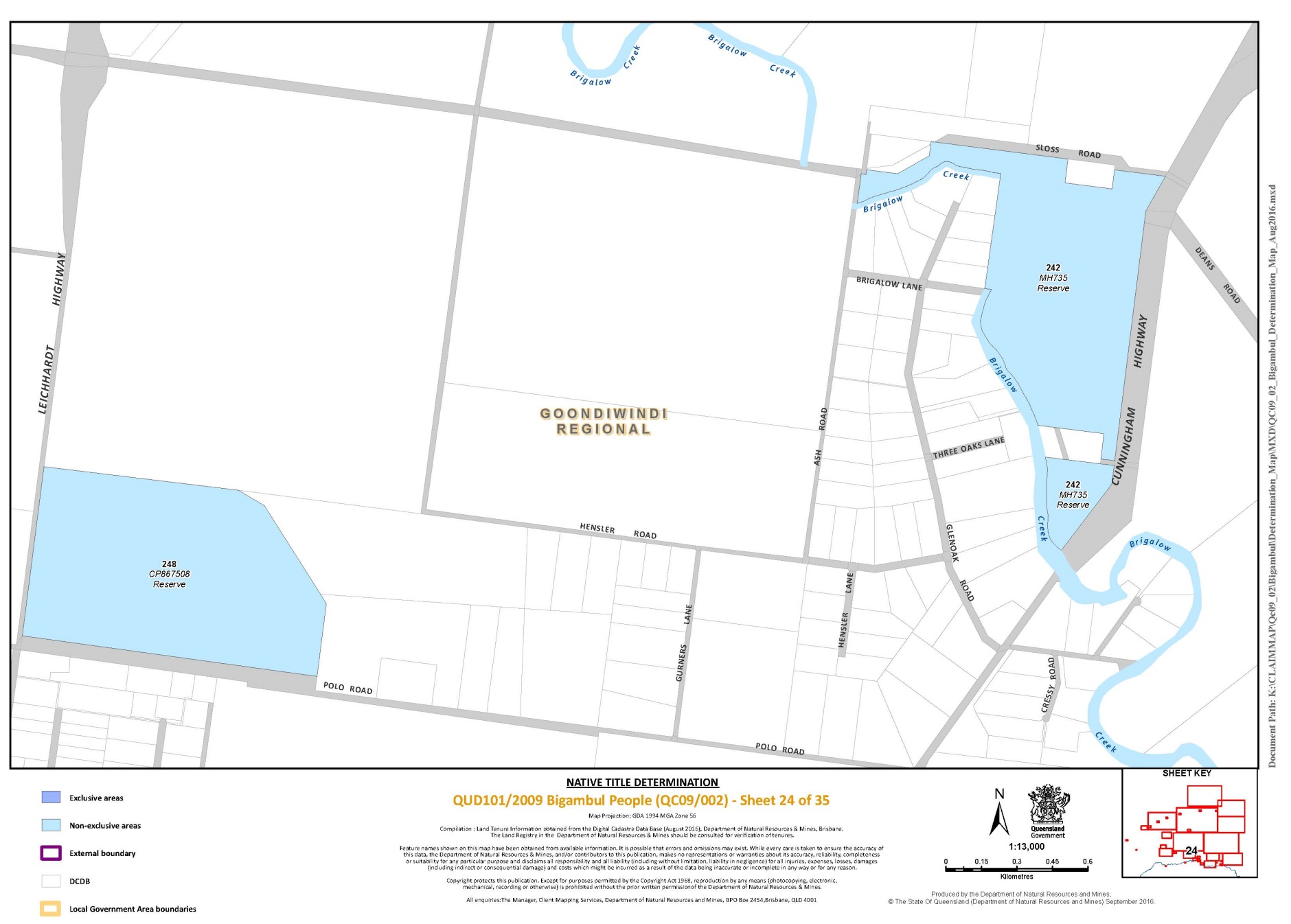
Lot 242 on Plan MH735 | 24 | |||
Lot 248 on Plan CP867508 | 24 | |||
Lot 252 on Plan MH836 | 22 | |||
Lot 261 on Plan CP899679 | 25 | |||
Lot 263 on Plan C819 | 23 | |||
Lot 264 on Plan SP272382 | 22 | |||
Pt Lot 267 on Plan NPW466 | 13 | |||
Lot 272 on Plan CLV3474 | 14 | |||
Lot 304 on Plan SP178709 | 25 | |||
Lot 306 on Plan MH889 | 25 | |||
Lot 310 on Plan MH883 | 23 | |||
Pt Lot 329 on Plan PH1750 | 13, 14 | |||
Pt Lot 341 on Plan FTY1881 | 14 | |||
Lot 2978 on Plan SP276272 | 14 | |||
Lot 3147 on Plan PH1511 | 14 | |||
Lot 37 on Plan SP116300 | 9 | |||
Lot 5324 on Plan PH1744 | 31 | |||
That part of Lot 24 on G472, excluding the areas bounded by the following approximate coordinates: Area 1 (Tennis Court) - | ||||
Longitude (East) | Latitude (South) | |||
150.301767 | -28.545092 | |||
150.301685 | -28.545524 | |||
150.300818 | -28.545395 | |||
150.300900 | -28.544964 | |||
Area 2 (Swimming Pool) - | ||||
Longitude (East) | Latitude (South) | |||
150.300819 | -28.545378 | |||
150.301689 | -28.545507 | |||
150.301589 | -28.546032 | |||
150.300719 | -28.545903 | |||
Area 3 (Restroom) - | ||||
Longitude (East) | Latitude (South) | |||
150.302087 | -28.546109 | |||
150.302135 | -28.545861 | |||
150.302271 | -28.545881 | |||
150.302223 | -28.546129 | |||
Area 4 (Childcare Centre) - | ||||
Longitude (East) | Latitude (South) | |||
150.302087 | -28.546108 | |||
150.301951 | -28.546088 | |||
150.301998 | -28.545840 | |||
150.302134 | -28.545861 | |||
Data Reference and source
Cadastral data sourced from Department of Natural Resources and Mines, Qld (August 2016)
Reference datum
Geographical coordinates are referenced to the Geocentric Datum of Australia 1994 (GDA94), in decimal degrees.
Prepared by the Department of Natural Resources and Mines (7 September 2016).
Part 3 –– External Boundary Description
This application area covers all lands and waters within the external boundary described below:
Commencing at the intersection of the New South Wales – Queensland Border and the southern boundary of the Macintyre Brook watershed, north westerly of the Township of Texas, and extending generally westerly along that State Border to Longitude 149.676692° East; then generally north westerly passing through the following coordinate points:
Longitude (East) | Latitude (South) |
149.679790 | 28.613495 |
149.672157 | 28.593771 |
149.658073 | 28.571512 |
149.645099 | 28.547181 |
149.630502 | 28.527717 |
149.591578 | 28.462834 |
149.574186 | 28.447433 |
149.550646 | 28.425801 |
149.525591 | 28.393401 |
149.512571 | 28.367355 |
149.497507 | 28.347668 |
149.484534 | 28.311983 |
149.451184 | 28.289219 |
149.408392 | 28.292940 |
149.369320 | 28.309684 |
149.337690 | 28.320846 |
149.317890 | 28.339911 |
149.303153 | 28.343504 |
149.288138 | 28.351219 |
149.275658 | 28.359798 |
149.239664 | 28.379669 |
149.210342 | 28.389628 |
149.195129 | 28.389765 |
149.161310 | 28.367760 |
149.125580 | 28.349340 |
149.096890 | 28.330100 |
149.062700 | 28.310690 |
149.030880 | 28.292240 |
149.020890 | 28.285340 |
148.999470 | 28.272140 |
148.966770 | 28.247750 |
148.936050 | 28.226910 |
Then north westerly to a point approximately 38 kilometres southeast of the Township of St George at Longitude 148.919302° East and Latitude 28.204870° South; then generally north easterly passing through the following coordinate points:
Longitude (East) | Latitude (South) |
148.951670 | 28.178710 |
148.992580 | 28.153330 |
149.049680 | 28.095820 |
149.075660 | 28.053030 |
149.119810 | 28.021940 |
149.135040 | 28.007850 |
Then north easterly to the centreline of Moonie River at Longitude 149.166497° East; then generally easterly and generally north easterly along the centreline of that river and the centreline of Teelba Creek to Latitude 27.794790° South; then generally north easterly and generally easterly passing though the following coordinate points:
Longitude (East) | Latitude (South) |
149.411070 | 27.777196 |
149.605041 | 27.752949 |
149.848859 | 27.723215 |
150.123897 | 27.644421 |
150.234960 | 27.570935 |
150.286851 | 27.520291 |
150.403210 | 27.408453 |
150.481252 | 27.371987 |
150.534133 | 27.347660 |
150.607791 | 27.332272 |
150.666675 | 27.333492 |
150.752710 | 27.343340 |
150.793880 | 27.356010 |
Then easterly to the intersection of the line joining Longitude 150.793880° East, Latitude 27.356010° South and Longitude 150.835970° East, Latitude 27.368300° South with the south western boundary of the Condamine River watershed; then generally southerly, generally easterly and again generally southerly along that watershed to its intersection with the line joining Longitude 151.125600° East, Latitude 27.802770° South and Longitude 151.125600° East, Latitude 27.833340° South; then generally southerly passing through the following coordinate points:
Longitude (East) | Latitude (South) |
151.125600 | 27.833340 |
151.124630 | 27.858290 |
151.121580 | 27.881990 |
151.120030 | 27.896420 |
151.118280 | 27.909150 |
151.110020 | 27.929610 |
151.098030 | 27.951260 |
151.092600 | 27.971170 |
151.081170 | 27.995050 |
151.068760 | 28.021590 |
151.061730 | 28.044510 |
151.053110 | 28.070420 |
151.040150 | 28.097860 |
151.036560 | 28.119890 |
151.030760 | 28.142410 |
151.026540 | 28.167350 |
151.021280 | 28.188960 |
151.017820 | 28.214980 |
151.016180 | 28.239980 |
151.013960 | 28.262750 |
151.012780 | 28.294560 |
151.017410 | 28.320720 |
151.022500 | 28.347980 |
151.028350 | 28.381740 |
151.033690 | 28.405540 |
151.040640 | 28.432070 |
151.045590 | 28.463620 |
151.053170 | 28.492650 |
151.063060 | 28.522060 |
151.073560 | 28.551110 |
151.088930 | 28.582880 |
Then south easterly to the intersection of the line joining Longitude 151.088930° East, Latitude 28.582880° South and Longitude 151.098730° East, Latitude 28.619720° South with the southern boundary of the Macintyre Brook watershed; then generally westerly along that watershed back to the commencement point.
Note
Data Reference and source
Drainage basin sub-area data depicts a subdivision of the major drainage basins (catchment) in Queensland, Dataset sourced from Department of Natural Resources and Mines, Qld (20 Feb 2009).
Cadastral data Department of Natural Resources and Mines, Qld (20 Feb 2009).
Topographic vector data is © Commonwealth of Australia (Geoscience Australia) 2003.
Reference datum
Geographical coordinates have been provided by the NNTT Geospatial Services and are referenced to the Geocentric Datum of Australia 1994 (GDA94), in decimal degrees and are based on the spatial reference data acquired from the various custodians at the time.
Use of Coordinates
Where coordinates are used within the description to represent cadastral or topographical boundaries or the intersection with such, they are intended as a guide only. As an outcome to the custodians of cadastral and topographic data continuously recalculating the geographic position of their data based on improved survey and data maintenance procedures, it is not possible to accurately define such a position other than by detailed ground survey.
Prepared by Geospatial Services, National Native Title Tribunal (25 May 2015)
Map of Determination Area
Schedule 2 –– AREAS NOT FORMING PART OF THE DETERMINATION AREA
The following areas of land and waters are excluded from the Determination Area.
Part 1 –– Excluded as Previous Exclusive Possession Acts
1. Those land and waters within the External Boundary described in Part 3 of Schedule 1, which at the time the native title determination application was made:
(a) were the subject of one or more Previous Exclusive Possession Acts, within the meaning of s 23B of the Native Title Act 1993 (Cth); and
(b) to which none of ss 47, 47A or 47B of the Native Title Act 1993 (Cth) applied at the time of the native title determination application;
are excluded from the Determination Area as they could not be claimed in accordance with s 61A of the Native Title Act 1993 (Cth).
2. Specifically, and to avoid any doubt, the land and waters described in paragraph (1) above includes:
(a) the tenure based exclusions under ss 23B(2) and 23B(3) of the Native Title Act 1993 (Cth) to which s 20 of the Native Title (Queensland) Act 1993 (Qld) applies;
(b) the land or waters on which any public work, as defined in s 253 of the Native Title Act 1993 (Cth), is or was constructed, established or situated, and to which ss 23B(7) and 23C(2) of the Native Title Act 1993 (Cth) and to which s 21 of the Native Title (Queensland) Act 1993 (Qld), applies, together with any adjacent land or waters in accordance with s 251D of the Native Title Act 1993 (Cth);
(c) but is not limited to, the whole of the land and waters described as:
Lot 7 on Plan PG383 | |||
Lot 8 on Plan DY697 | |||
Lot 10 on Plan CVN182 | |||
Lot 15 on Plan PG290 | |||
Lot 2 on Plan SP146068 | |||
Lot 6 on Plan CVN270 | |||
Lot 14 on Plan CVN281 | |||
Lot 1 on Plan PG476 | |||
Lot 1 on Plan BLM822 | |||
Lot 1 on Plan PG408 | |||
Lot 5 on Plan CVN396 | |||
Lot 6 on Plan CVN6 | |||
Lot 7 on Plan CP858896 | |||
Lot 7 on Plan BLM99 | |||
Lot 8 on Plan PG346 | |||
Lot 9 on Plan PG347 | |||
Lot 9 on Plan CVN360 | |||
Lot 12 on Plan PG343 | |||
Lot 16 on Plan DY1057 | |||
Lot 17 on Plan CP854912 | |||
Lot 18 on Plan DY1092 | |||
Lot 20 on Plan MH573 | |||
Lot 21 on Plan PG409 | |||
Lot 22 on Plan MH770 | |||
Lot 22 on Plan CVN237 | |||
Lot 24 on Plan PG251 | |||
Lot 24 on Plan CVN326 | |||
Lot 28 on Plan PG328 | |||
Lot 37 on Plan PG405 | |||
Lot 39 on Plan PG331 | |||
Lot 1 on Plan BLM760 | |||
Lot 3 on Plan DY239 | |||
Lot 4 on Plan DY239 | |||
Lot 5 on Plan PG217 | |||
Lot 6 on Plan DY694 | |||
Lot 6 on Plan BLM140 | |||
Lot 7 on Plan BLM140 | |||
Lot 9 on Plan PG4 | |||
Lot 11 on Plan PG410 | |||
Lot 13 on Plan PG290 | |||
Lot 14 on Plan CVN59 | |||
Lot 14 on Plan PG388 | |||
Lot 14 on Plan PG290 | |||
Lot 18 on Plan PG289 | |||
Lot 18 on Plan MH616 | |||
Lot 26 on Plan SP119646 | |||
Lot 27 on Plan PG328 | |||
Lot 31 on Plan CVN235 | |||
Lot 41 on Plan PG332 | |||
Lot 42 on Plan SP223104 | |||
Lot 71 on Plan MH751 | |||
Lot 75 on Plan MH172 | |||
Lot 77 on Plan MH173 | |||
Lot 82 on Plan MH749 | |||
Lot 15 on Plan CVN281 | |||
Lot 15 on Plan MH766 | |||
Lot 33 on Plan DY811 | |||
Lot 93 on Plan MH765 | |||
Lot 94 on Plan MH765 | |||
Lot 3 on Plan PG73 | |||
Lot 4 on Plan CVN380 | |||
Lot 5 on Plan MH292 | |||
Lot 7 on Plan CVN175 | |||
Lot 7 on Plan SP236730 | |||
Lot 8 on Plan CVN376 | |||
Lot 9 on Plan SP188452 | |||
Lot 12 on Plan CVN53 | |||
Lot 14 on Plan MH483 | |||
Lot 15 on Plan CVN145 | |||
Lot 21 on Plan CVN54 | |||
Lot 21 on Plan CVN320 | |||
Lot 23 on Plan CVN67 | |||
Lot 24 on Plan PG130 | |||
Lot 27 on Plan SP158264 | |||
Lot 49 on Plan CP896625 | |||
Lot 72 on Plan MH833 | |||
Lot 82 on Plan SP188452 | |||
Lot 92 on Plan MH124 | |||
Lot 90 on Plan MH489 | |||
Lot 182 on Plan MH538 | |||
Lot 1 on Plan Y5699 | |||
Lot 1 on Plan RP142378 | |||
Lot 1 on Plan MH868 | |||
Lot 1 on Plan MH826 | |||
Lot 1 on Plan SP101134 | |||
Lot 2 on Plan MH830 | |||
Lot 2 on Plan Y5699 | |||
Lot 2 on Plan SP101134 | |||
Lot 2 on Plan SP164139 | |||
Lot 3 on Plan SP130828 | |||
Lot 5 on Plan G4715 | |||
Lot 5 on Plan MH835 | |||
Lot 8 on Plan RP213577 | |||
Lot 8 on Plan MH825 | |||
Lot 9 on Plan G47108 | |||
Lot 10 on Plan MH835 | |||
Lot 11 on Plan G47100 | |||
Lot 11 on Plan CVN350 | |||
Lot 12 on Plan CVN375 | |||
Lot 15 on Plan CVN373 | |||
Lot 21 on Plan G4715 | |||
Lot 24 on Plan CVN390 | |||
Lot 25 on Plan MH829 | |||
Lot 26 on Plan RP856502 | |||
Lot 27 on Plan SP130835 | |||
Lot 28 on Plan SP127660 | |||
Lot 29 on Plan SP126274 | |||
Lot 88 on Plan RP810050 | |||
Lot 93 on Plan MH570 | |||
Lot 95 on Plan MH601 | |||
Lot 165 on Plan SP127674 | |||
Lot 174 on Plan MH840 | |||
Lot 183 on Plan MH839949 | |||
Lot 189 on Plan MH517 | |||
Lot 193 on Plan RP802674 | |||
Lot 211 on Plan MH604 | |||
Lot 221 on Plan MH704 | |||
Lot 220 on Plan MH702 | |||
Lot 222 on Plan MH704 | |||
Lot 239 on Plan MH785 | |||
Lot 241 on Plan MH792 | |||
Lot 247 on Plan MH817 | |||
Lot 266 on Plan MH754 | |||
Lot 283 on Plan MH745 | |||
Lot 500 on Plan SP196489 | |||
Lot 901 on Plan SP227052 | |||
Lot 9 on Plan CVN429 | |||
Lot 16 on Plan CVN432 | |||
Lot 1 on Plan MH839949 | |||
Lot 3 on Plan CP857762 | |||
Lot 5 on Plan T5865 | |||
Lot 6 on Plan T5865 | |||
Lot 12 on Plan MH838 | |||
Lot 19 on Plan CP840435 | |||
Lot 42 on Plan PG838174 | |||
Lot 186 on Plan MH494 | |||
Lot 217 on Plan MH836 | |||
Lot 305 on Plan MH888 | |||
Lot 1 on Plan CVN839948 | |||
Lot 4 on Plan B7072 | |||
Lot 5 on Plan B7072 | |||
Lot 7 on Plan BLM752 | |||
Lot 11 on Plan K5781 | |||
Lot 12 on Plan K5781 | |||
Lot 14 on Plan PG338 | |||
Lot 16 on Plan CVN392 | |||
Lot 18 on Plan F6901 | |||
Lot 19 on Plan PG373 | |||
Lot 20 on Plan F6901 | |||
Lot 23 on Plan PG407 | |||
Lot 26 on Plan PG385 | |||
Lot 27 on Plan PG464 | |||
Lot 29 on Plan Y56915 | |||
Lot 37 on Plan BLM924 | |||
Lot 40 on Plan MH757 | |||
Lot 41 on Plan PG463 | |||
Lot 48 on Plan PG434 | |||
Lot 50 on Plan SP188020 | |||
Lot 74 on Plan MH833 | |||
Lot 100 on Plan MH849 | |||
Lot 118 on Plan MH774 | |||
Lot 181 on Plan MH41 | |||
Lot 197 on Plan MH552 | |||
Lot 209 on Plan MH614 | |||
Lot 210 on Plan MH603 | |||
Lot 301 on Plan F6901 | |||
Lot 302 on Plan F6901 | |||
Lot 303 on Plan F6901 | |||
Lot 304 on Plan F6901 | |||
Lot 305 on Plan F6901 | |||
Lot 306 on Plan F6901 | |||
Lot 307 on Plan F6901 | |||
Lot 308 on Plan F6901 | |||
Lot 309 on Plan F6901 | |||
Lot 310 on Plan F6901 | |||
Lot 310 on Plan MH884 | |||
Lot 311 on Plan F6901 | |||
Lot 312 on Plan F6901 | |||
Lot 313 on Plan F6901 | |||
Lot 314 on Plan F6901 | |||
Lot 315 on Plan F6901 | |||
Lot 316 on Plan F6901 | |||
Lot 3 on Plan T5865 | |||
Lot 4 on Plan T5865 | |||
Lot 8 on Plan USL45576 | |||
Lot 15 on Plan CVN386 | |||
Lot 188 on Plan MH507 | |||
That part of Lot 1 on Plan AP18874 formerly described as Lot 46 on PG421 | |||
That part of Lot 154 on Plan FTY1972 formerly described as Portion 8 on DY400 and Portion 3 on DY381. | |||
That part of Lot 168 on Plan FTY1337 formerly described as Closed Road on FTY1254 (currently described as part of Lot 168 on FTY1337) | |||
That part of Lot 216 on Plan SP142106 formerly described as Area to be Added between stations 2-3-5-9-10-11-12-13-14-2 on SP142106 | |||
Part of Lot 227 on plan NPW89 being the southern portion identified on Plan NPW89 as ‘Closed Road’ | |||
That part of Lot 236 on Plan SP192344 formerly described as Road Closed between stations I-F-E-D-C-N-M-L-K-J-I on MH839259 | |||
That part of Lot 265 on Plan SP126298 formerly described as Area to be Added between stations A-B-C-D-A on SP126298 | |||
That part of Lot 37 on Plan MH878 formerly described as Portion 26 on MH309 | |||
That part of Lot 41 on Plan MH778 formerly described as Portion 46 on MH234 | |||
That part of Lot 48 on Plan FTY1383 formerly described as Portion 5V on CVN79 | |||
That part of Lot 5 on Plan MH867 formerly described as Closed Road between stations 18-20-21-23 on Plan MH867 | |||
That part of Lot 51 on Plan SP188020 formerly described as Lot 47 on PG432 | |||
That part of Lot 24 on Plan G472 described as: Area 1 (Tennis Court): the area enclosed by the following coordinates: | |||
Longitude (East) | Latitude (South) | ||
150.301767 | -28.545092 | ||
150.301685 | -28.545524 | ||
150.300818 | -28.545395 | ||
150.300900 | -28.544964 | ||
Area 2 (Swimming Pool): the area enclosed by the following coordinates: | |||
Longitude (East) | Latitude (South) | ||
150.300819 | -28.545378 | ||
150.301689 | -28.545507 | ||
150.301589 | -28.546032 | ||
150.300719 | -28.545903 | ||
Area 3 (Restroom): the area enclosed by the following coordinates: | |||
Longitude (East) | Latitude (South) | ||
150.302087 | -28.546109 | ||
150.302135 | -28.545861 | ||
150.302271 | -28.545881 | ||
150.302223 | -28.546129 | ||
Area 4 (Childcare Centre): the area enclosed by the following coordinates: | |||
Longitude (East) | Latitude (South) | ||
150.302087 | -28.546108 | ||
150.301951 | -28.546088 | ||
150.301998 | -28.545840 | ||
150.302134 | -28.545861 | ||
Data Reference and source
Cadastral data sourced from Department of Natural Resources and Mines, Qld (August 2016)
Reference datum
Geographical coordinates are referenced to the Geocentric Datum of Australia 1994 (GDA94), in decimal degrees.
Prepared by the Department of Natural Resources and Mines (7 September 2016)
Schedule 3 –– NATIVE TITLE HOLDERS
1. The native title holders are the Bigambul People. The Bigambul People are those people:
(a) who are biological descendants of the following deceased persons:
(i) Nellie Yumbeina;
(ii) Queen Susan of Welltown;
(iii) Jack Noble;
(iv) Sally Murray;
(v) Susan, Mother of Duncan Daniels; or
(vi) Jack and James Armstrong.
Schedule 4 –– OTHER INTERESTS IN THE DETERMINATION AREA
The nature and extent of the Other Interests in relation to the Determination Area are the following as they exist as at the date of the Determination:
1. The rights and interests of the parties under the following agreements, yet to be registered on the Register of Indigenous Land Use Agreements:
(a) the agreement between Russell Doctor, Elaine Georgetown, Cyril Logan and Rhonda Sandow on their own behalf and on behalf of the Bigambul People (QUD101/2009) and the State of Queensland, which was authorised by the native title claim group on 9 September 2016 (the Bigambul People Protected Areas Indigenous Land Use Agreement);
(b) the agreement between Russell Doctor, Elaine Georgetown, Cyril Logan and Rhonda Sandow on their own behalf and on behalf of the Bigambul People (QUD101/2009) and the State of Queensland, which was authorised by the native title claim group on 9 September 2016 (the Bigambul People Revenue Share ILUA);
(c) the agreement between Russell Doctor, Elaine Georgetown, Rhonda Sandow and Cyril Logan on their own behalf and on behalf of the Bigambul People (QUD101/2009) and the Balonne Shire Council, Western Downs Regional Council, Goondiwindi Regional Council and Toowoomba Regional Council which was authorised by the native title claim group on 9 September 2016 (the Bigambul People and Local Government ILUA);
(d) the agreement between Russell Doctor, Elaine Georgetown, Cyril Logan and Rhonda Sandow on their own behalf and on behalf of the Bigambul People (QUD101/2009) and Ergon Energy Corporation Limited ACN 087 646 062, which was authorised by the native title claim group on 9 September 2016 (the Bigambul People and Ergon Energy Indigenous Land Use Agreement);
(e) the agreement between Russell Doctor, Elaine Georgetown, Cyril Logan and Rhonda Sandow on their own behalf and on behalf of the Bigambul People (QUD101/2009) and Neweena which was authorised by the native title claim group on 9 September 2016 (the Bigambul People and Neweena Land Use Agreement); and
(f) the agreement between Russell Doctor, Elaine Georgetown, Cyril Logan and Rhonda Sandow on their own behalf and on behalf of the Bigambul People (QUD101/2009) and Welltown, which was authorised by the native title claim group on 9 September 2016 (the Bigambul People and Welltown Indigenous Land Use Agreement).
2. The rights and interests of the State of Queensland, Balonne Shire Council, Goondiwindi Regional Council, Toowoomba Regional Council and Western Downs Regional Council to access, use, operate, maintain and control the dedicated roads in the Determination Area and the rights and interests of the public to use and access the roads.
3. The rights and interests of the Balonne Shire Council, Western Downs Regional Council, Goondiwindi Regional Council and Toowoomba Regional Council as the local governments for that part of the Determination Area within their respective Local Government Areas, including:
(a) their powers, functions, responsibilities and jurisdiction under a Local Government Act;
(b) their rights and interests under any interest in land or waters within the Determination Area including under any lease, license, access agreement, easement or reserve in the Determination Area;
(c) the rights to use, operate, maintain, replace, restore, remediate, repair and otherwise exercise all other rights as the owners and operators of infrastructure, structures, earthworks, access works, facilities and other improvements within the Determination Area;
(d) the rights under any agreements between the local governments and third parties which relate to land or water in the Determination Area; and
(e) the rights of their employees, agents and contractors to enter upon the Determination Area for the purpose of performing their powers and responsibilities under paragraphs (a) to (d).
4. The rights and interests of the State of Queensland in Reserves, the rights and interests of the trustees of those Reserves and of the persons entitled to access and use those Reserves for the respective purpose for which they are reserved.
5. The rights and interests of Telstra Corporation Limited (ACN 051 775 556):
(a) as the owner or operator of telecommunications facilities within the Determination Area;
(b) created pursuant to the Post and Telegraph Act 1901 (Cth), the Telecommunications Act 1975 (Cth), the Australian Telecommunications Corporation Act 1989 (Cth), the Telecommunications Act 1991 (Cth) and the Telecommunications Act 1997 (Cth), including rights:
(i) to inspect land;
(ii) to install and operate telecommunications facilities; and
(iii) to alter, remove, replace, maintain, repair and ensure the proper functioning of its telecommunications facilities;
(c) for its employees, agents or contractors to access its telecommunications facilities in and in the vicinity of the Determination Area in performance of their duties; and
(d) under any lease, licence, access agreement or easement relating to its telecommunications facilities in the Determination Area.
6. The rights and interests of Ergon Energy Corporation Limited ACN 087 646 062:
(a) as the owner and operator of any “works” as that term is defined in the Electricity Act 1994 (Qld) within the Determination Area;
(b) as a distribution entity and the holder of a distribution authority under the Electricity Act 1994 (Qld);
(c) created under the Electricity Act 1994 (Qld) and the Government Owned Corporations Act 1993 (Qld) including:
(i) rights in relation to any agreements relating to the Determination Area existing or entered into before this Determination is made;
(ii) rights to enter the Determination Area by its employees, agents or contractors to exercise any of the rights and interests referred to in this paragraph; and
(iii) to inspect, maintain and manage any works in the Determination Area.
7. The rights and interests of The Trust Company Limited ACN 004 027 749 (Trustee under Instrument 717141477) as the registered lessee of SH 20/3878 comprising Lot 3 on Crown Plan CVN238.
8. The rights and interests of Australia Pacific LNG Pty Limited as the holder of Authority to Prospect 663 granted under the Petroleum Act 1923 (Qld) and administered under the Petroleum and Gas (Production and Safety) Act 2004 (Qld);
9. The rights and interests of Australia Pacific LNG Pty Limited as the holder of Potential Commercial Area 85, granted and administered under the Petroleum and Gas (Production and Safety) Act 2004 (Qld).
10. The rights and interests of Australia Pacific LNG Pty Limited arising under the Right to Negotiate Deed of Agreement dated 19 August 2010, entered into under s 31(1)(b) of the Native Title Act 1993 (Cth), regarding the Addition of Excluded Land into Authority to Prospect 663.
11. The rights and interests of Australia Pacific LNG Pty Limited arising under the Agreement dated 16 June 2010 that is ancillary to the Deed in paragraph 10 above between Russell Doctor, Arthur Georgetown, Cheryl Moggs, Tony Turnbull, George Hopkins, Gary Woodbridge and Veronica Jarrett, in their capacity as the “Bigambul Applicant” acting on behalf of the Bigambul People, and Australia Pacific LNG Pty Limited.
12. The rights and interests of Origin Energy Resources Limited and Australia Pacific LNG Pty Limited arising under the Cultural Heritage Management Plan dated 13 November 2009 between Russell Doctor, Arthur Georgetown, Cheryl Moggs, Tony Turnbull, George Hopkins, Gary Woodbridge and Veronica Jarrett, in their capacity as “Endorsed Aboriginal Parties” acting on behalf of the Bigambul People, and Origin Energy Resources Limited.
13. The rights and interests of the holder of PPL 1 granted under the Petroleum Act 1923 (Qld), who at the date of this Determination is Moonie Pipeline Company Pty Ltd.
14. The rights and interests of the holder of PPL 6 granted under the Petroleum Act 1923 (Qld), who at the date of this Determination is comprised of Origin Energy Resources Limited, Vamgas Pty Ltd, Santos Limited, Bridgefield Pty Ltd, Moonie Pipeline Company Pty Ltd and Delhi Petroleum Pty Ltd.
15. The rights and interests holders of leasehold interests in:
(a) Lot 27 on PG464;
(b) Lot 41 on PG463; and
(c) Lot 48 on PF434,
who at the date of this determination is Santos Resources Pty Ltd.
16. The rights and interests of members of the public arising under the common law, including but not limited to any subsisting public right to fish.
17. So far as confirmed pursuant to s 212(2) of the Native Title Act 1993 (Cth) and s 18 of the Native Title Act (Queensland) Act 1993 (Qld) as at the date of this Determination, any existing public access to, and enjoyment of, the following places in the Determination Area:
(a) waterways;
(b) beds and banks or foreshores of waterways;
(c) stock routes; and
(d) areas that were public places at the end of 31 December 1993.
18. Any other rights and interests:
(a) held by the State of Queensland or Commonwealth of Australia; or
(b) existing by reason of the force and operation of the Laws of the State and the Commonwealth.
Note: Entry of orders is dealt with in Rule 39.32 of the Federal Court Rules 2011.
REEVES J:
1 On 14 April 2009, Russell Doctor, Arthur Georgetown, Cheryl Moggs, Tony Turnbull, George Hopkins, Gary Woodbridge and Veronica Jarrett, acting as the authorised applicant of the Bigambul People, applied in accordance with the provisions of the Native Title Act 1993 (Cth) (the NTA) for a determination that native title exists over certain land and waters in the South Western Downs region of Queensland (the Bigambul application).
2 The claim area of the Bigambul application covers approximately 20,000 square kilometres. It encompasses country watered by the Weir River and its tributaries. Its southern limit is defined in part by the Macintyre River (which becomes the Barwon River at its junction with the Weir River) and a portion of the Dumaresq River. The Moonie River defines part of its western boundary. In the north, it extends to encompass Western Creek (a tributary of the Weir River) and in the east, Cecil Plains and Texas. Goondiwindi is the largest town in the claim area.
3 There were three earlier native title determination applications lodged or filed by the Bigambul People. The first of those was lodged with the National Native Title Tribunal on 22 September 1998. That application was dismissed on 18 August 2000. Two further applications were filed with this Court, one in 2001 and the other in 2008. Those applications were either dismissed or discontinued. The current application was initially accepted for registration on 4 June 2009 and remains on the Register of Native Title Claims.
4 The remaining respondents to the Bigambul application are: the Goondiwindi, Toowoomba and Western Downs Regional Councils; the Balonne Shire Council; Ergon Energy Corporation Limited; Telstra Corporation Limited; and various mining and pastoral entities.
5 On 18 October 2016, the Court made orders splitting the Bigambul application into Parts A and B. Bigambul Part A comprises the vast majority of the claim area. It is described in considerable detail in Schedule 1 of the orders I will make today. Bigambul Part B comprises six lots within the claim area in relation to which the Bigambul Applicant has disputed whether the grants over those lots of previous exclusive possession acts under s 23B of the NTA have resulted in the extinguishment of native title rights and interests with respect to them. That issue is awaiting the outcome of an appeal to the Full Court from my decision in Doyle on behalf of the Iman People #2 v State of Queensland [2016] FCA 13.
6 The parties have now informed the Court that they have reached agreement to resolve the Bigambul application in relation to all of the Bigambul Part A portion of the claim area. Accordingly, they have requested that the Court make a determination of native title under s 87A of the NTA in the terms of the agreement filed with the Court on 11 November 2016 (the s 87A agreement). Since this agreement relates to a part of the claim area covered by the application, I am satisfied that s 87A applies to it (see s 87A(1)(b)).
7 I have made orders by consent in a number of native title determination applications in recent times and on each occasion I have commented on the length of time it has taken to finally determine those applications (see, for example, Kearns on behalf of the Gunggari People #2 v State of Queensland [2012] FCA 651, Doyle on behalf of the Iman People #2 v State of Queensland [2016] FCA 743 and Congoo on behalf of the Bar Barrum People #2 v State of Queensland [2016] FCA 693). Some of those applications had been filed in the Court as long as 20 years ago. In those judgments, I made specific reference to the Court’s grave concern regarding the length of time it is taking to finalise native title applications. The same concern arises with this matter. By comparison to the proceedings referred to above, the fact that this application was filed approximately 7½ years ago would make it relatively young. However, that ignores the fact that the first Bigambul application was lodged with the National Native Title Tribunal about 18½ years ago (see at [3] above). In that period, many of the knowledgeable Bigambul elders have undoubtedly passed away without seeing their native title recognised. To attempt to avoid this state of affairs and to attempt to reduce these sorts of delays occurring in its native title lists, in recent years, particularly since the 2009 amendments to the NTA and the introduction of Pt VB to the Federal Court of Australia Act 1976 (Cth), the Court has sought to make full use of its case management powers.
8 As is already mentioned above, in this matter, the power of the Court to give effect to the parties’ agreement is founded on s 87A of the NTA. That section sets out the various conditions which will trigger the jurisdiction of the Court in the event that the parties reach agreement on the terms of an order to resolve a proceeding where the agreement relates to a part of the claim area (s 87A(1)(b)). The first condition is that the notice period under s 66 of the NTA must have ended prior to the parties’ written agreement being filed with the Court (s 87A(1)(b)). The National Native Title Tribunal’s notification of the Bigambul application was completed in 2009 and so that condition has been met. Secondly, the agreement of the parties must relate to an area (the determination area) which is included in the area covered by the application (s 87A(1)(b)). As I have already observed above, in this instance the agreement of the parties relates to Part A of the Bigambul application, which comprises the vast majority of the claim area, so that condition is also met. Thirdly, all of the parties described in s 87A(1)(c) must be parties to the agreement. The Commonwealth of Australia withdrew as a party in 2015. Aside from it, all the other parties there described are parties to the s 87A agreement. Fourthly, the terms of the agreement must be in writing and signed by or on behalf of those parties (s 87A(1)(d)). It is apparent from the s 87A agreement filed with the Court on 11 November 2016 that that condition has also been met.
9 Having satisfied those matters, the next condition is that the Court must be satisfied that an order in the terms of the order sought, or an order consistent with those terms, would be within the power of the Court (s 87A(4)(a)). An order will be within the power of the Court if it complies with s 94A of the NTA, if the rights and interests included in the proposed determinations are recognisable by the common law of Australia and if there is no other determination in existence over the area the subject of the proposed determinations.
10 Section 94A requires the Court, in making a determination, to set out the details of the matters mentioned in s 225 of the NTA. Section 225 outlines the content of a determination of native title as:
A determination of native title is a determination whether or not native title exists in relation to a particular area (the determination area) of land and waters and, if it does exist, a determination of:
(a) who the persons, or each group of persons, holding the common or group rights comprising the native title are; and
(b) the nature and extent of the native title rights and interests in relation to the determination area; and
(c) the nature and extent of any other interests in relation to the determination area; and
(d) the relationship between the rights and interests in paragraphs (b) and (c) (taking into account the effect of this Act); and
(e) to the extent that the land or waters in the determination area are not covered by a non-exclusive agricultural lease or a non-exclusive pastoral lease - whether the native title rights and interests confer possession, occupation, use and enjoyment of that land or waters on the native title holders to the exclusion of all others.
(Emphasis in original; note omitted)
11 Having regard to the materials described below (at [15]–[23]) and having examined the draft consent determination attached to the s 87A agreement, I am satisfied that each of the matters outlined in s 94A is properly articulated therein. I am also satisfied that there is no other determination of native title in existence over any part of the determination area. Finally, I am satisfied that the native title rights and interests of the Bigambul People in the determination area are recognisable by the common law of Australia.
12 As to the remaining subsections of s 87A (with the exception of s 87A(4)(b): see below), in accordance with s 87A(3), on 14 November 2016, a Registrar of the Court gave notice to all remaining parties that the proposed determination had been filed with the Court. No objections were made by any of the other parties so the provisions of s 87A(8) do not arise for consideration in this instance. As well, none of the parties has elected to file an agreed statement of facts for the purposes of this proposed determination so I do not need to concern myself with ss 87A(9) to 87A(12) inclusive.
13 The final condition the parties need to meet in order to have the Court make a consent determination under s 87A of the NTA concerns the operation of s 87A(4)(b). That section requires the Court to be satisfied that it is appropriate to make a determination in terms of the parties’ agreement.
14 In Nelson v Northern Territory of Australia (2010) 190 FCR 344; [2010] FCA 1343 (at [5]–[13]), I canvassed the authorities that identified the factors to which the Court will routinely have regard in determining this question of “appropriateness” under s 87. In my view, the same factors apply to s 87A. It is not necessary for me to repeat all those observations here, it will suffice to set out the concluding summary as follows (at [14]):
It follows from all these considerations that the central issue in an application for a consent determination under s 87 is whether there exists a free and informed agreement between the parties. In this respect, the process followed by the State party respondent, particularly how it goes about assessing the underlying evidence as to the existence of native title is critical. Other critical factors, all directed to the processes that lead to the agreement and what was agreed, that have been previously identified by the Court include: whether the parties have independent and competent legal representation..; whether the terms of the proposed order are unambiguous and clear …; and whether the agreement has been preceded by a mediation process …
15 The s 87A agreement in this matter was reached after extensive mediation, case management and expert conferences. In that process, the following reports were commissioned and filed by the various parties at different stages:
(a) Anthropological Expert Reports of Mr Michael Niblett – June 2003 and January 2008;
(b) Bigambul Native Title Determination Application Report of Ms Karen L McFadden – December 2008;
(c) Anthropology Reports prepared for Queensland South Native Title Services by Dr Anna Kenny – 27 June 2011 and 16 January 2015;
(d) Anthropological Report of Mr Nathan Woolford – October 2012;
(e) Expert Genealogical Report: Bigambul Research Area of Ms Kate Waters – 16 January 2015;
(f) Expert Historical Report: Bigambul Research Area of Ms Kate Waters – 6 January 2015;
(g) Supplementary Anthropology Report of Dr Fiona Powell – 23 February 2015;
(h) Anthropological Assessment of the Expert and Lay Evidence Filed for the Bigambul Native Title Claim of Mr Daniel Leo – February 2015.
16 The Bigambul Applicant has filed detailed submissions in support of this proposed consent determination. Those submissions explain that this determination will recognise that native title is held by the descendants of the following people who are identified in the Genealogical Report of Ms Waters (see [15(e)] above):
(a) Nellie Yumbeina;
(b) Queen Susan of Welltown;
(c) Jack Noble;
(d) Sally Murray;
(e) Susan (mother of Duncan Daniels); or
(f) Jack and James Armstrong.
17 The submissions also refer to a number of affidavits provided by members of the Bigambul claim group: Ms Daphne Jarrett, Mr Cyril Logan, Ms Katherine Hippi, Mr Herbert Noble, Mr Leslie Woodbridge and Ms Jennifer Clevens. Those affidavits illustrate in detail the transmission of the stories that support the beliefs held by the Bigambul People as they relate to hunting of kangaroo, possum, turkey, goanna and bandicoot and the collection and preparation of bush tucker. For example, in his affidavit, Mr Herbert Noble refers to being taught to hunt and fish by his father and uncles to provide food. He has said that porcupine was his favourite meal and was cooked in fire pits. All of the deponents speak of learning about the observance of their traditional laws and customs and the kinship of the claim group from grandparents and parents.
18 This direct evidence from the Bigambul claimants in relation to the exercise of their native title rights and interests is supplemented by the extensive anthropological material outlined above. For example, in her Report dated 27 June 2011, Dr Kenny (see at [15(c)] above) examines the laws and customs that give rise to the rights and interests in land which she says derive from a broader regional society that includes a number of individual groups holding tenurial rights to particular stretches of country in southern Queensland and northern New South Wales. In that Report, Dr Kenny says:
277 The Bigambul and their neighbours such as the Kamilaroi, Yuwaalaraay and Mandandanji as well as other groups such as the Kooma acknowledge and observe the same body of laws and customs relating to rights and interests in land and waters. They and others constitute the society that acknowledges a common system of laws and customs in relation to the acquisition and possession of rights and interests in land.
278 Therefore, the common body of laws and customs that determined and determines the ownership of country was and is adhered to on both ‘local’ and regional level by the claimants and the other groups of their regional society. The rights and interests held in a country were endorsed within and amongst the relevant groups of the regional society who acknowledged and observed the same system of laws and customs in relation to land and waters.
19 European settlement of the claim area commenced when Mr Allan Cunningham led the first expedition into the Darling Downs in 1827. Dr Powell’s report refers to records which show that land was first taken up along the Macintyre River in the late 1830s and, by the second half of the 1840s, pastoral stations were:
[e]stablished along the frontages on both sides of the Macintyre River with the lower Weir River frontages taken up soon after. The pastoral occupation of the lower Moonie frontages was slower. The late 1840s saw pastoralists moving up the lower Moonie and downstream from the headwaters, but it was not until the second half of the 1850s that the whole of the frontages had been taken up (Waters 2015a:18).
20 The establishment of the pastoral industry allowed many Bigambul People to maintain their connection to their country and family. Dr Kenny, at paragraph 465 of her 27 June 2011 Report, says that:
Aboriginal men were employed as stockmen, drovers, stickpickers, woodcutters, ringbarkers, fencers and station hands. Aboriginal women were mainly employed as domestic servants and cooks. Bigambul people appear to have lived and worked on stations for generations, which facilitated the intergenerational transmission of some traditional skills and knowledge about country. Thus, station work allowed Aboriginal people to remain on or close to their country and to maintain local and ecological knowledge.
21 And further (at paragraph 494):
The management and dissemination of traditional knowledge, including appropriate social conduct, occurred through work and residence on pastoral properties and in the tightly knit fringe camps or reserves at or near such places as Boggabilla, Goondiwindi, Toobeah, Bungunya, and Mungundi.
22 The Bigambul Applicant relies on all this evidence to demonstrate the continued acknowledgement and observance of a range of Bigambul laws and customs with respect to cultural knowledge, spiritual beliefs, sites, decision making and resource use to support exclusive native title rights over that part of the determination area which is described in Part 1 of Schedule 1 of the proposed orders (other than in relation to the use and enjoyment of water) and the non-exclusive native title rights (other than in relation to the use and enjoyment of water) over the determination area, which is described in Part 2 of Schedule 1 of the proposed orders.
23 Having regard to the evidence summarised above, the submissions of the Bigambul Applicant, the fact that all the parties have had the advantage of competent legal representation and the fact I have already mentioned above, that the proposed consent determination was preceded by an intense process of mediation, case management and expert conferences, I am satisfied that the parties have reached a free and informed agreement to seek a consent determination of the Bigambul native title rights and interests in the claim area. Finally, I am also satisfied that the terms of the proposed orders are unambiguous and clear. I am therefore satisfied it is appropriate to make orders in the terms of the draft determination attached to the s 87A agreement.
24 Pursuant to s 56(2) of the NTA, the Bigambul Applicant has nominated the Bigambul Native Title Aboriginal Corporation ICN 8479 (the Corporation) to be the prescribed body corporate to hold the native title of the claimant group in trust following the making of this determination. The Corporation was registered on 20 September 2016. That nomination is in writing and the Corporation has given its consent to it. I am therefore satisfied that the relevant requirements of the NTA and of the Native Title (Prescribed Bodies Corporate) Regulations 1999 (Cth) have been met.
25 For these reasons, I am satisfied that the Bigambul Applicant and the other parties have met all the conditions set out in s 87A of the NTA to allow me to make the determination of native title that they have sought in the s 87A agreement. I will therefore proceed to make orders consistent with the determination proposed by the parties in that agreement.
26 The achievement of a settlement of a native title claim by agreement is to be encouraged and the work and commitment of all those involved to be commended. In particular, it is worth mentioning that this agreement could not have been achieved without the cooperation and goodwill of all the parties, the guidance provided to them by their legal, anthropological and other advisers and the assistance provided by the Court’s Native Title Registrars and staff. Finally, I would make this concluding observation. The orders that I will now make determine, under the laws of Australia, that native title exists in the determination area according to the traditional laws and customs of the Bigambul People. It is, however, important to record that this determination, made as it is under the NTA, does not grant native title to the Bigambul People. Instead, it recognises, under the laws of Australia, the native title the Bigambul People have long held in the determination area under their traditional laws and customs.
I certify that the preceding twenty-six (26) numbered paragraphs are a true copy of the Reasons for Judgment herein of the Honourable Justice Reeves. |
QUD 101 of 2009 | |
BALONNE SHIRE COUNCIL | |
Third Respondent | GOONDIWINDI REGIONAL COUNCIL |
Fourth Respondent: | TOOWOOMBA REGIONAL COUNCIL |
Fifth Respondent: | WESTERN DOWNS REGIONAL COUNCIL |
Sixth Respondent: | ERGON ENERGY CORPORATION LIMITED |
Seventh Respondent: | TELSTRA CORPORATION LIMITED |
Eighth Respondent: | ANVIL AUSTRALIAN PETROLEUM PTY LTD |
Ninth Respondent: | AUSTRALIA PACIFIC LNG PTY LIMITED |
Tenth Respondent: | BRIDGEFIELD PTY LIMITED |
Eleventh Respondent: | DELHI PETROLEUM PTY LTD |
Twelfth Respondent: | MAUREEN JEAN HOPE |
Thirteenth Respondent: | ROBERT BRUCE HOPE |
Fourteenth Respondent: | MOONIE PIPELINE COMPANY PTY LTD |
Fifteenth Respondent: | ORIGIN ENERGY RESOURCES LIMITED |
Sixteenth Respondent: | SANTOS AUSTRALIA HYDROCARBONS PTY LTD |
Seventeenth Respondent: | SANTOS LIMITED |
Eighteenth Respondent: | SANTOS QNT PTY LTD |
Nineteenth Respondent: | SANTOS RESOURCES PTY LTD |
Twentieth Respondent: | VAMGAS PTY LTD |
Twenty-First Respondent: | SCOTT THOMAS BARKLA |
Twenty-Second Respondent: | JUDITH MAHONEY FELTON-TAYLOR |
Twenty-Third Respondent: | KIM FELTON-TAYLOR |
Twenty-Fourth Respondent: | SCOTT KENNETH GLASSER |
Twenty-Fifth Respondent: | JENNIFER SHIRLEY HUNT |
Twenty-Sixth Respondent: | ELIZABETH REID MORRIS |
Twenty-Seventh Respondent: | ROBERT HAROLD MORRIS |
Twenty-Eighth Respondent: | THE TRUST COMPANY LIMITED |

